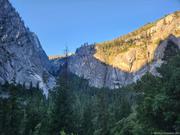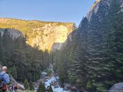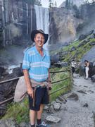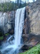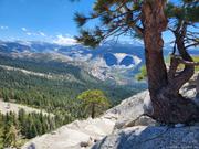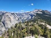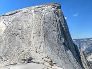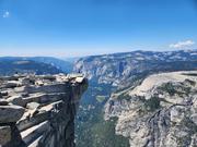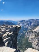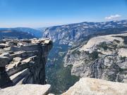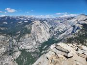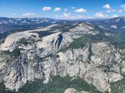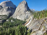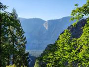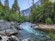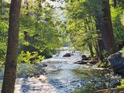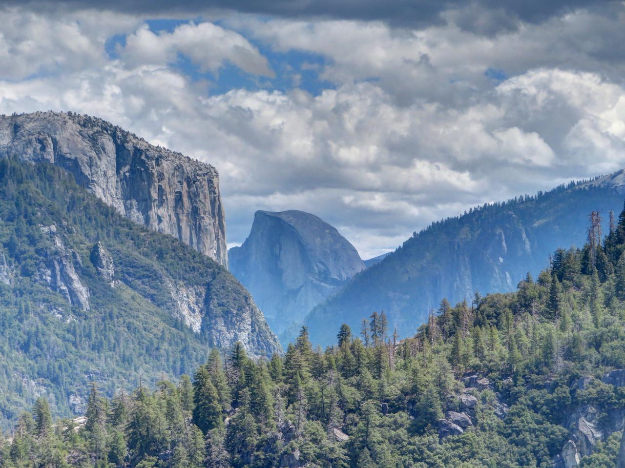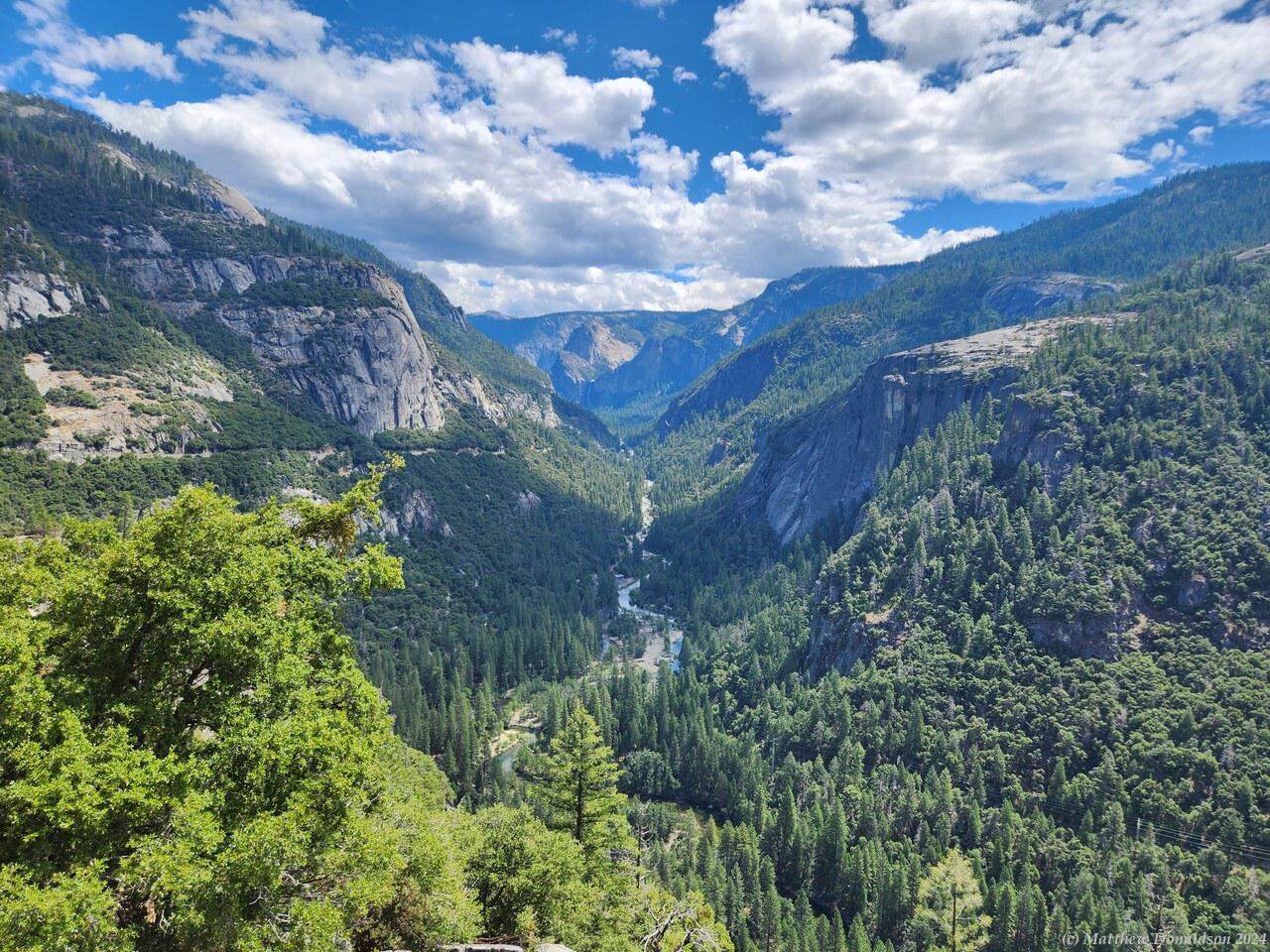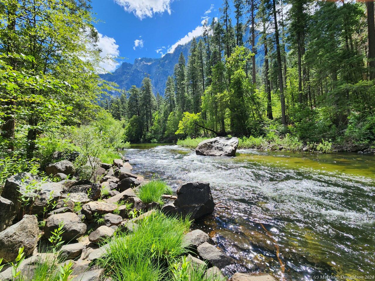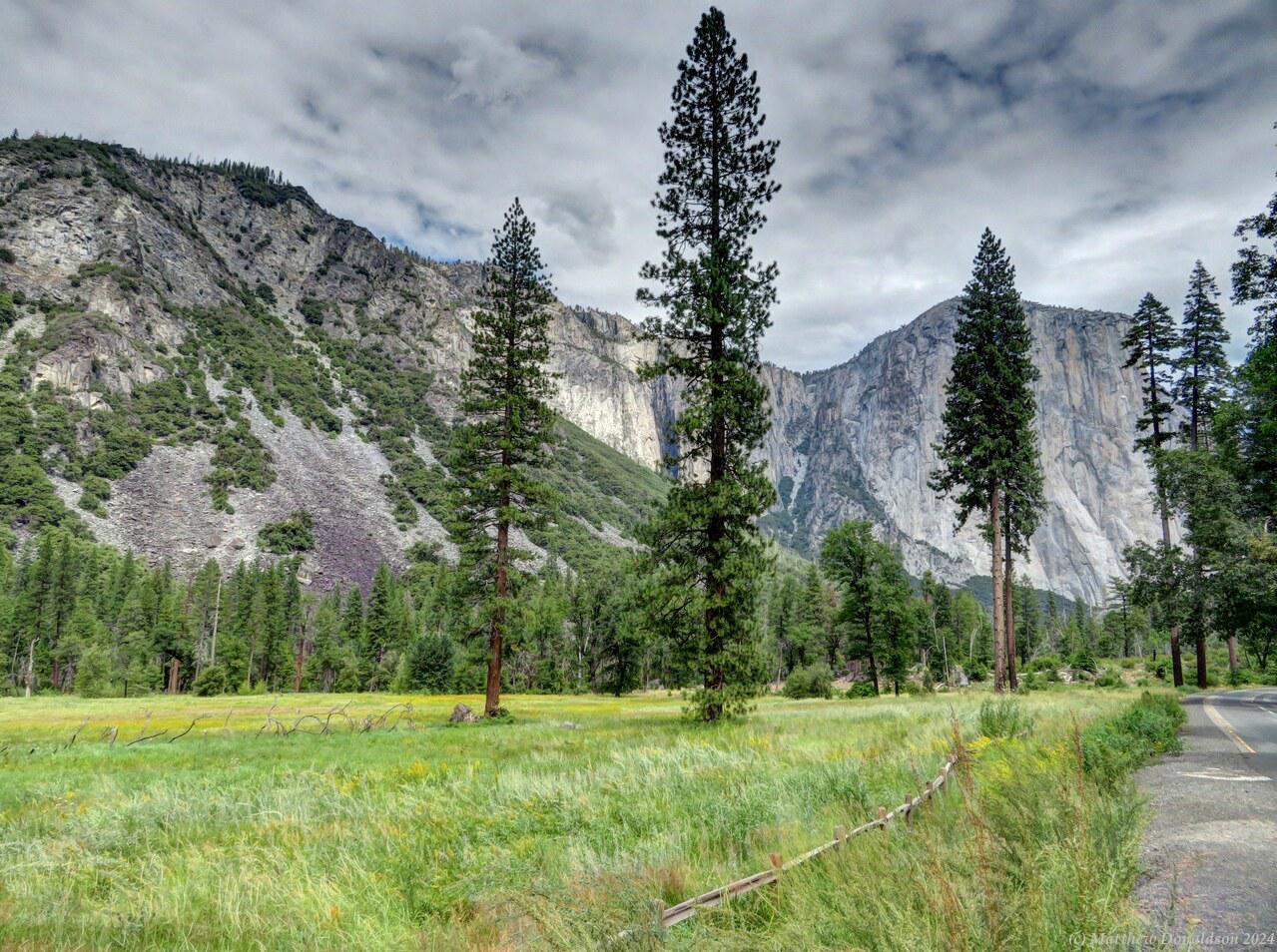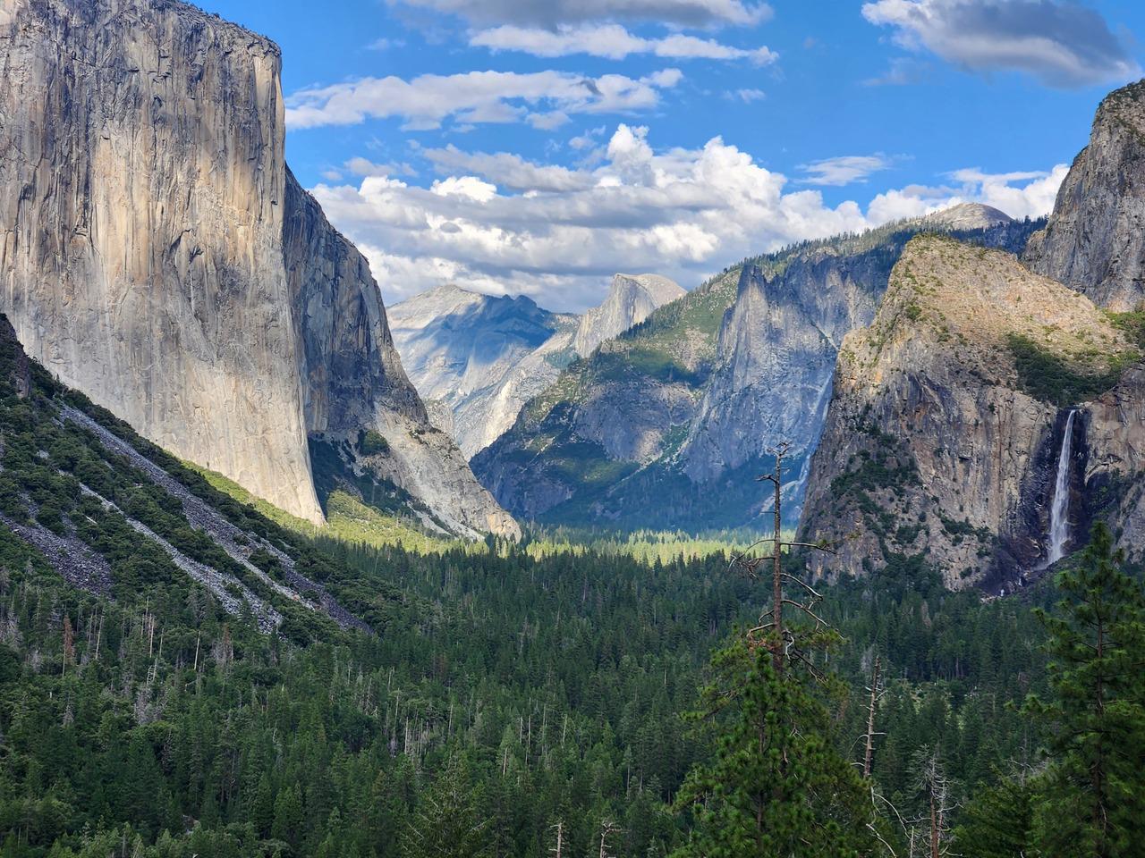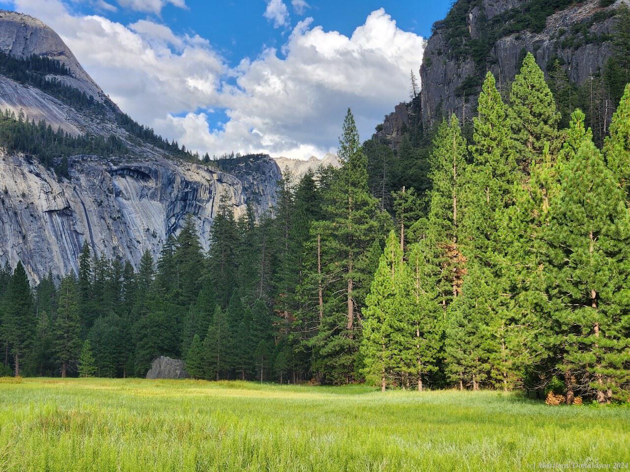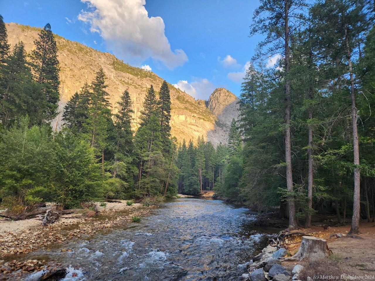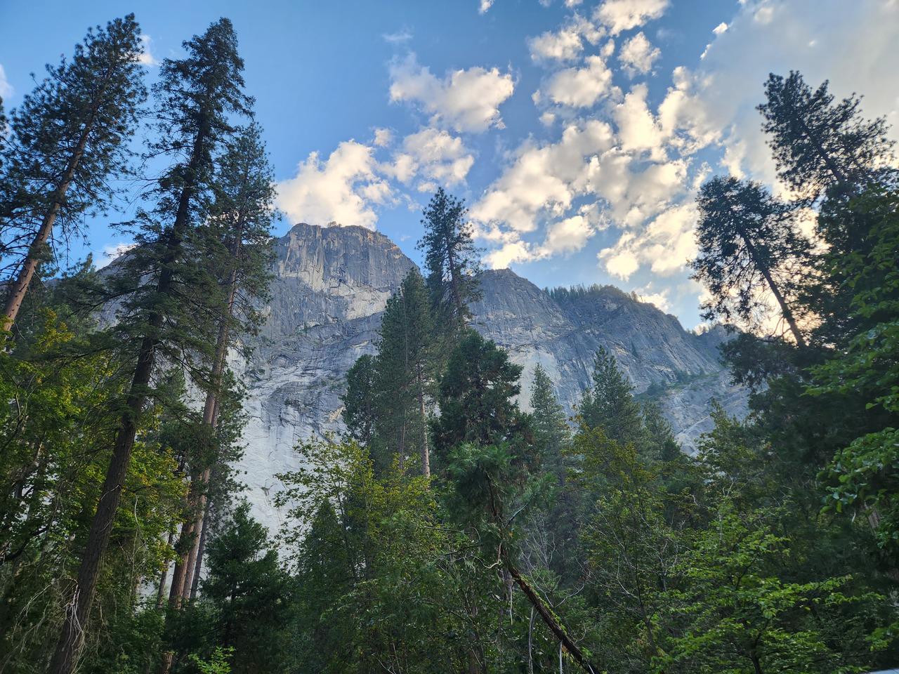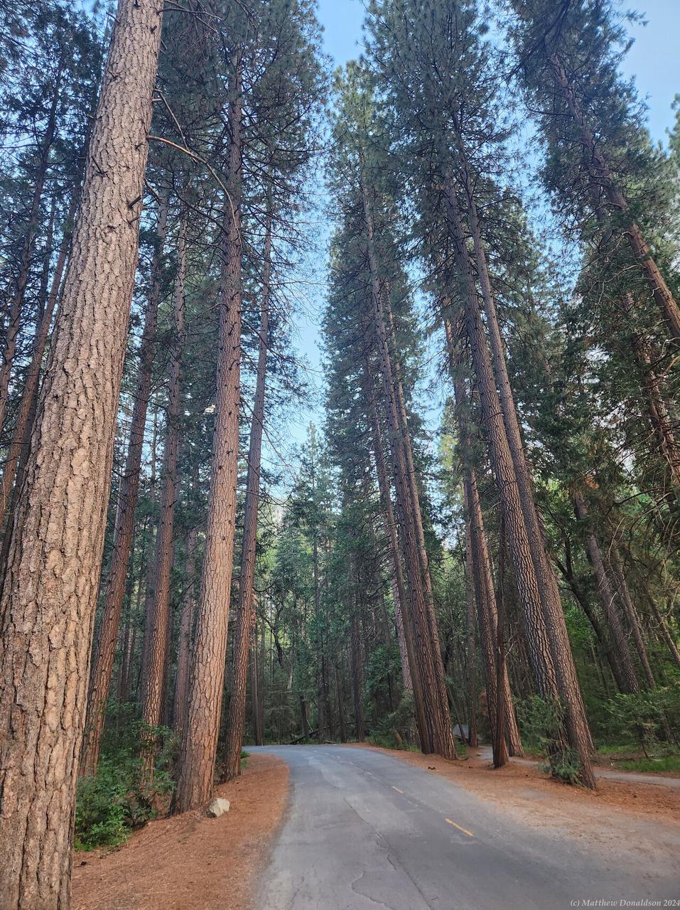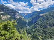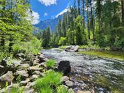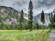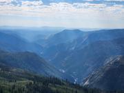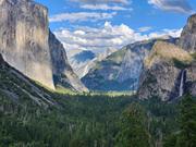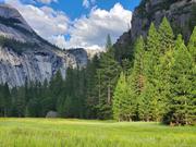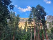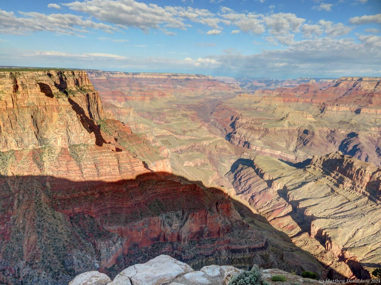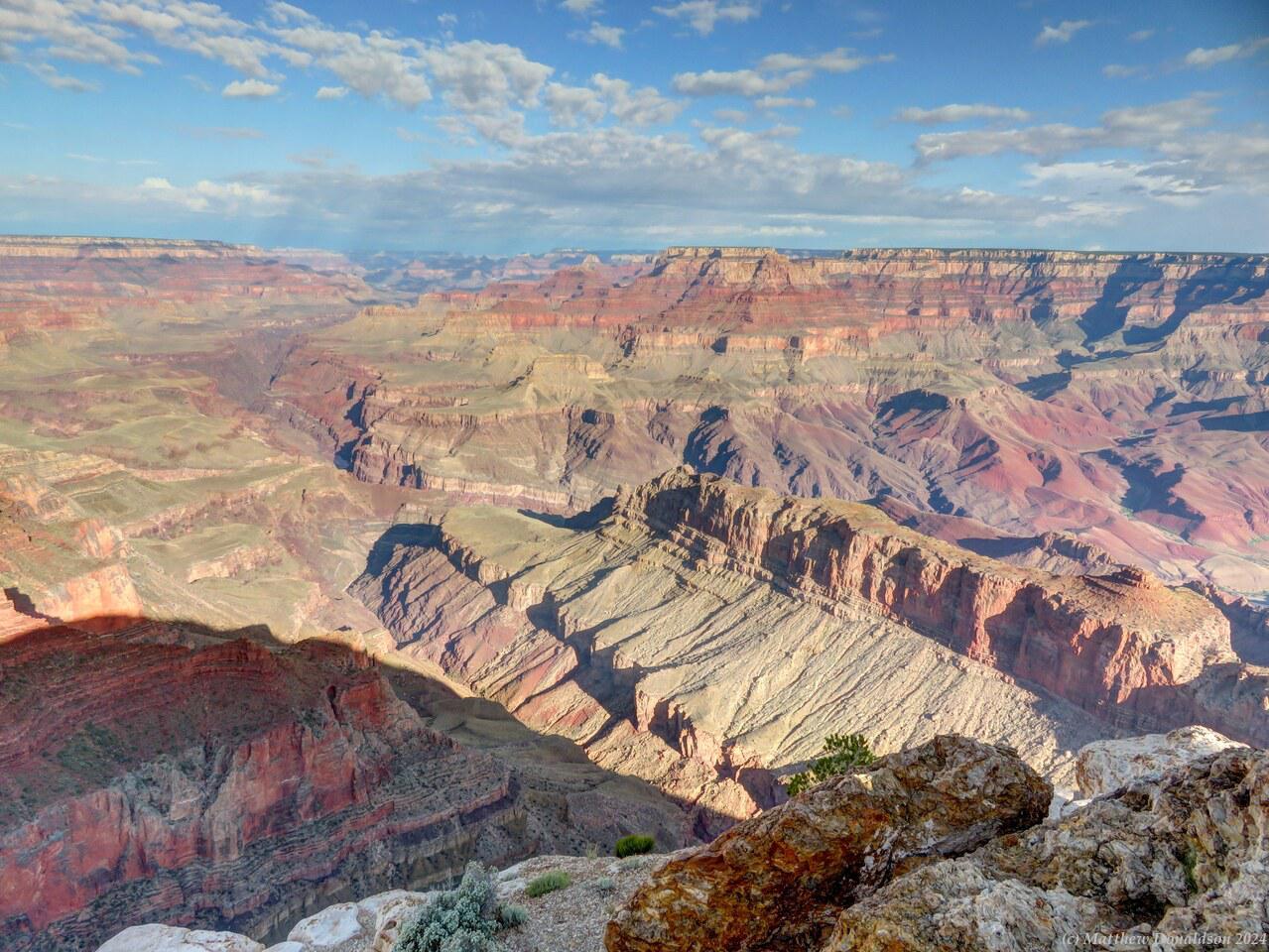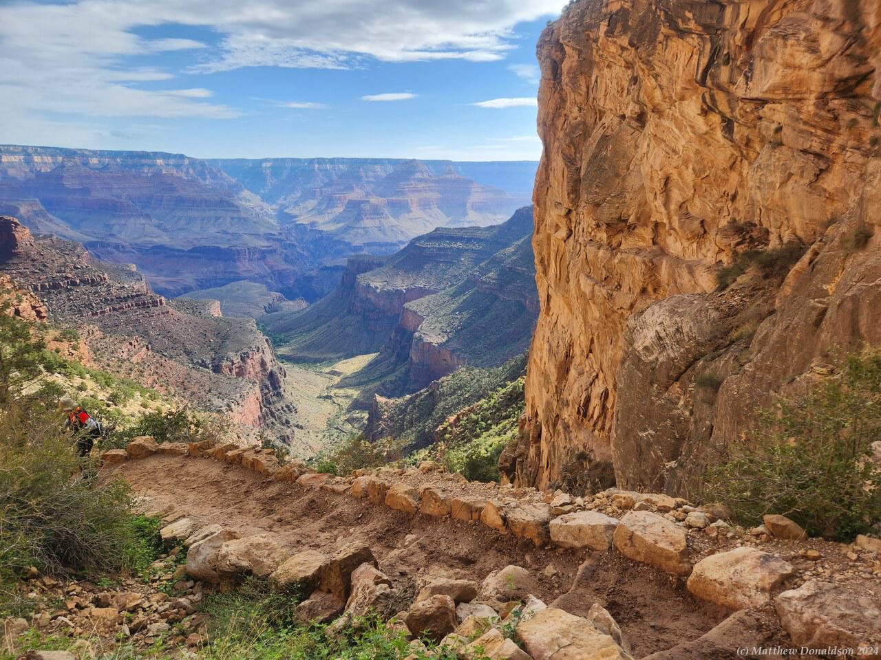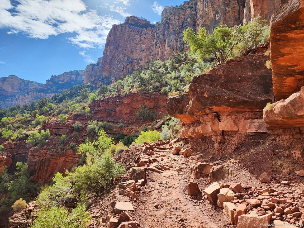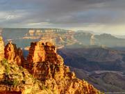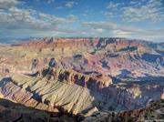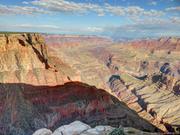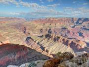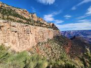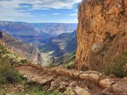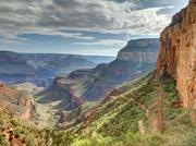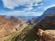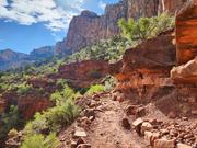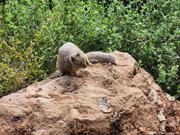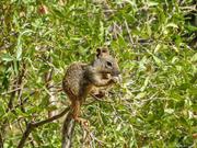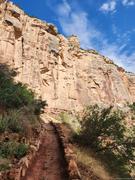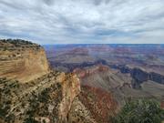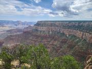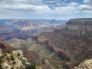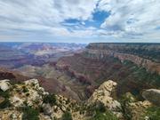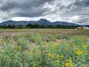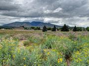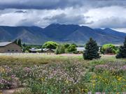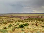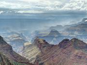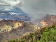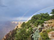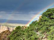
Friday August 25th


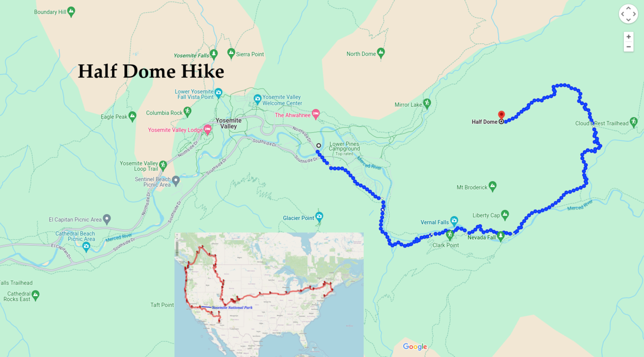
I'd set the alarm for around 4.30am, meaning to get going before 6 on the Half Dome Hike I'd booked into, knowing that it could take a good 12 hours. The trail was about a 26km return trip, with something like a 5,000ft (1,500m) elevation gain – that’s 1.5km straight up. I had done hikes nearly as long as this, and a hike with 900m elevation gain, but nothing with both the elevation gain and distance, so I knew it would likely be the most difficult hike I’d ever done, by a fair margin, and I wasn’t certain I’d be able to complete it.

As usual it took longer than expected to make breakfast and get organised. I filled my water bottles and took a 2L "camel pack" with water as well, giving me about 4 litres. While I was getting ready before sunrise I somehow managed to press the button on my keys that set off the van’s alarm, and I was madly trying to stop it, so early in the morning, argh!

If it was wet or stormy, it was strongly advised not to do the last part of the hike, but it was looking like a beautiful day: sunny, but not scorchingly hot. In the morning as I left, it was still fairly dark, and it wasn't so easy to find the track that I’d identified the previous night, but I did find what seemed to be an ok way through, and nobody was up so early. I'd got part way to the trailhead when I remembered I'd forgotten my pass, which would let me do the last part of the hike, so I had to turn back and go and get it, then work my way back to the track again and finally get to the trailhead.
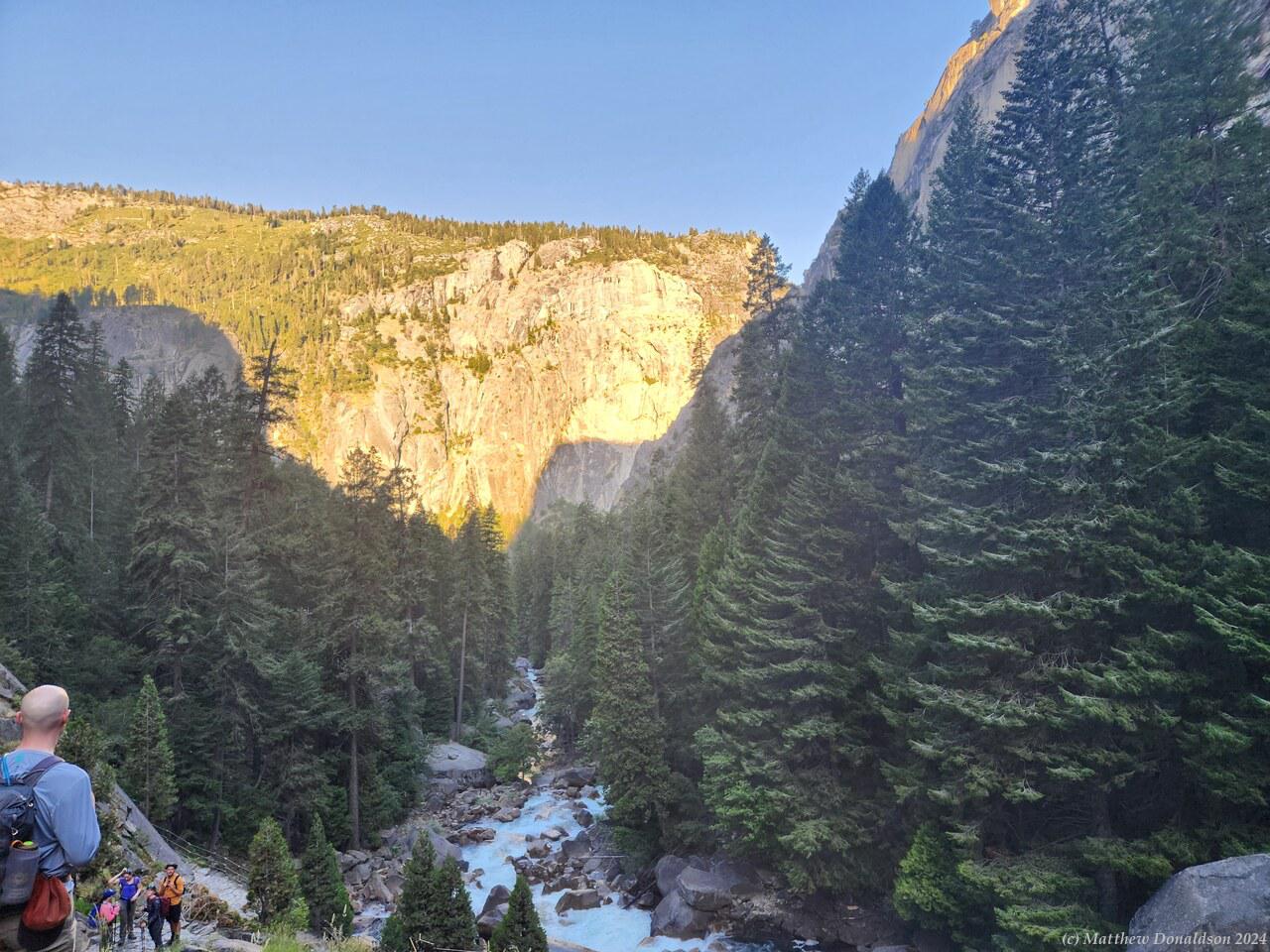
  

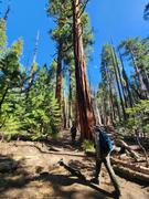
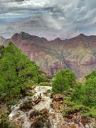
So it was about 6.30 I think before I really got going, and the sun was just starting to rise. There were quite a good number of people on the trail, though I wouldn't say it was crowded. I fell in with three men in their early 60s, and we did most of the walk up together, which was great. They were really nice, and going with them helped to pace me. I might have tried to get up there too fast otherwise.
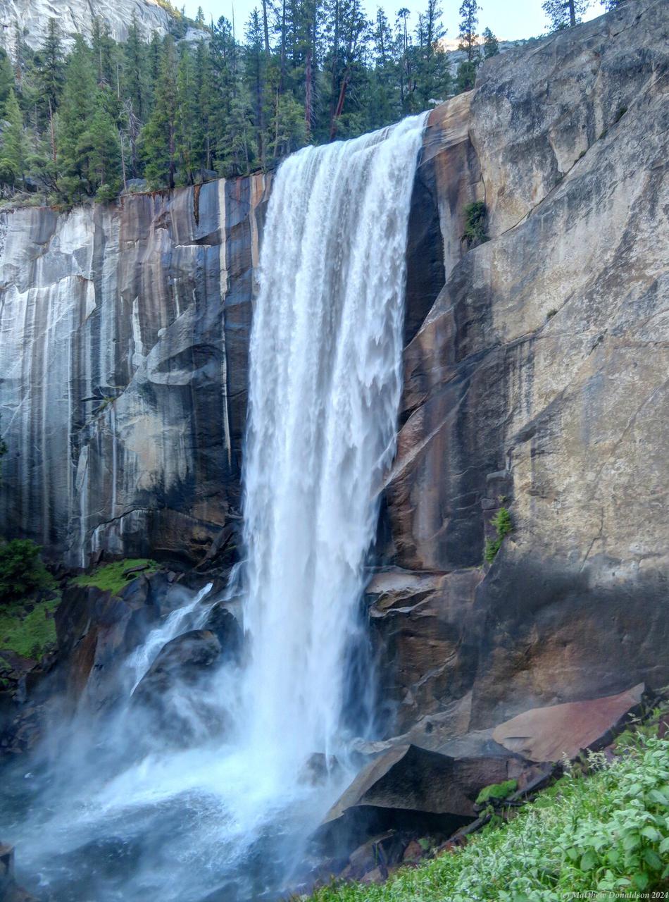
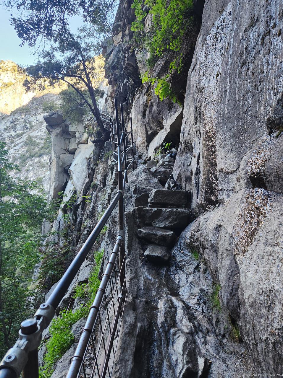
  

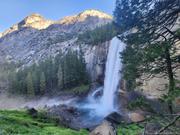
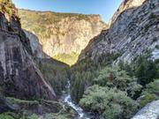
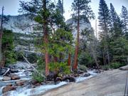
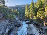
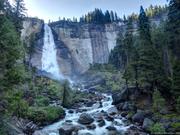
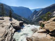
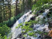
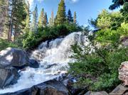
We saw two large waterfalls, with a lot of strenuous climbing in between, much of it up steep stairs, and we gained altitude pretty quickly. It was a tough section. We stopped at one place, which had toilets and a generator going, and had a snack. I had brought a big sandwich for lunch, and also several snack bars, so I had one of them. We kept pushing on, and after a while the trail levelled out somewhat through a forest area, which was welcome, until it started getting steep again.

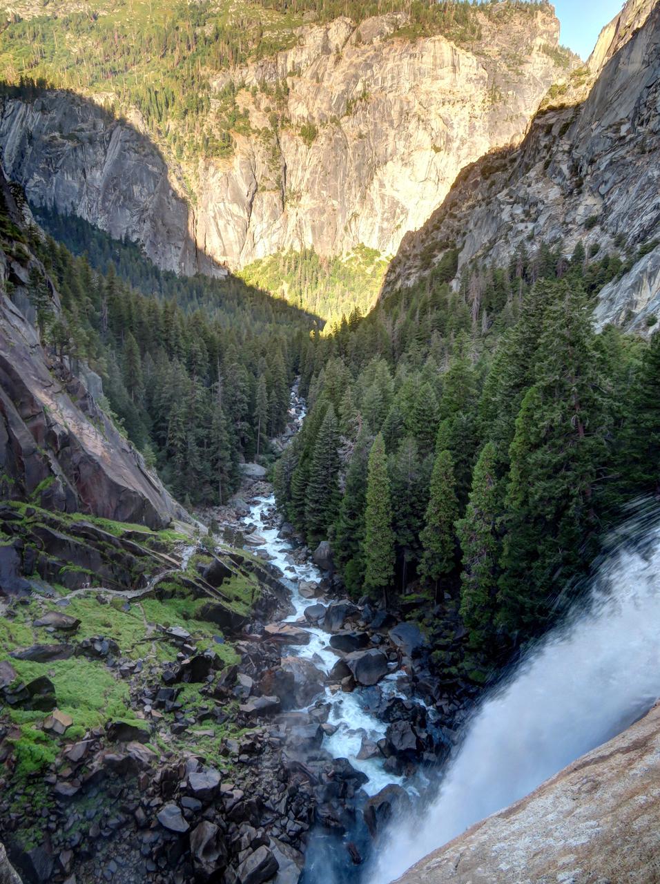
  

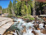
One of the group was checking his smart watch every so often to see what our altitude was, and how far up the climb we were. At one of the streams, one filled up his water bottles, using a filter that he'd brought with him. I don't remember if it was the same man, but one had some electrolyte tablets that he offered us, to put in our water, since we were sweating a lot. I think that helped quite a bit.
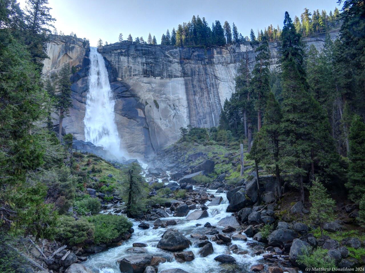
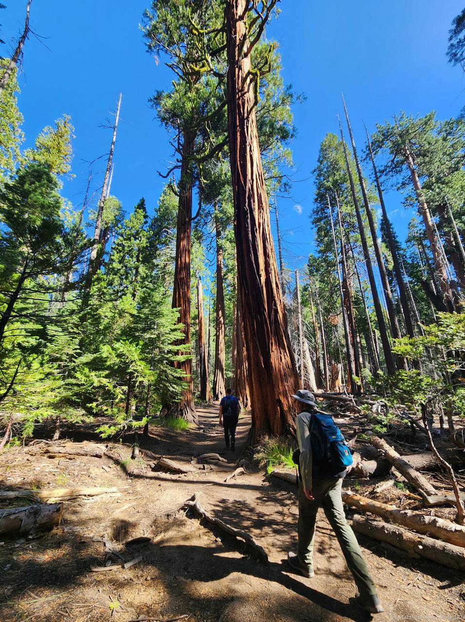
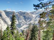
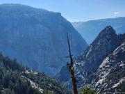
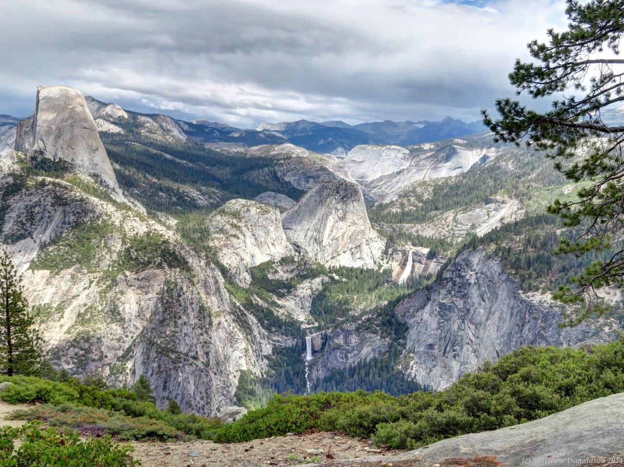
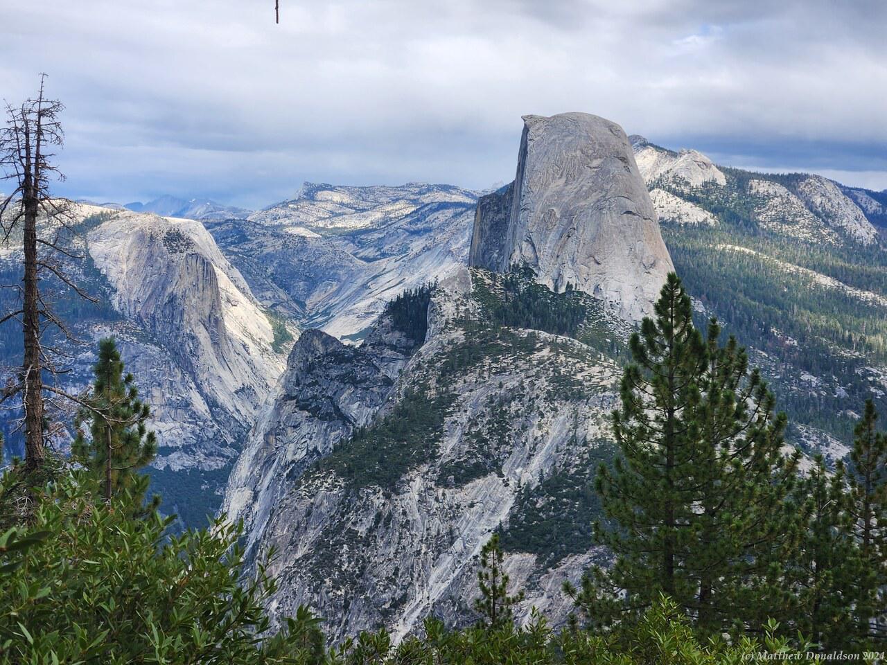
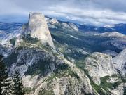
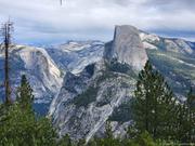
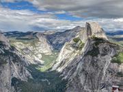
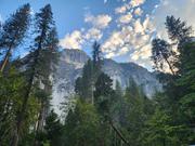
As I hiked I started to get weird visual effects, kind of like little red splotches that didn't go away. They did fade out after perhaps half an hour or so, but it was strange. Eventually we came in sight of the large lump of rock called Half Dome. Part way up the last strenuous climb to the bottom of Half Dome, a ranger checked our passes, and gave us advice about how to climb the dome.
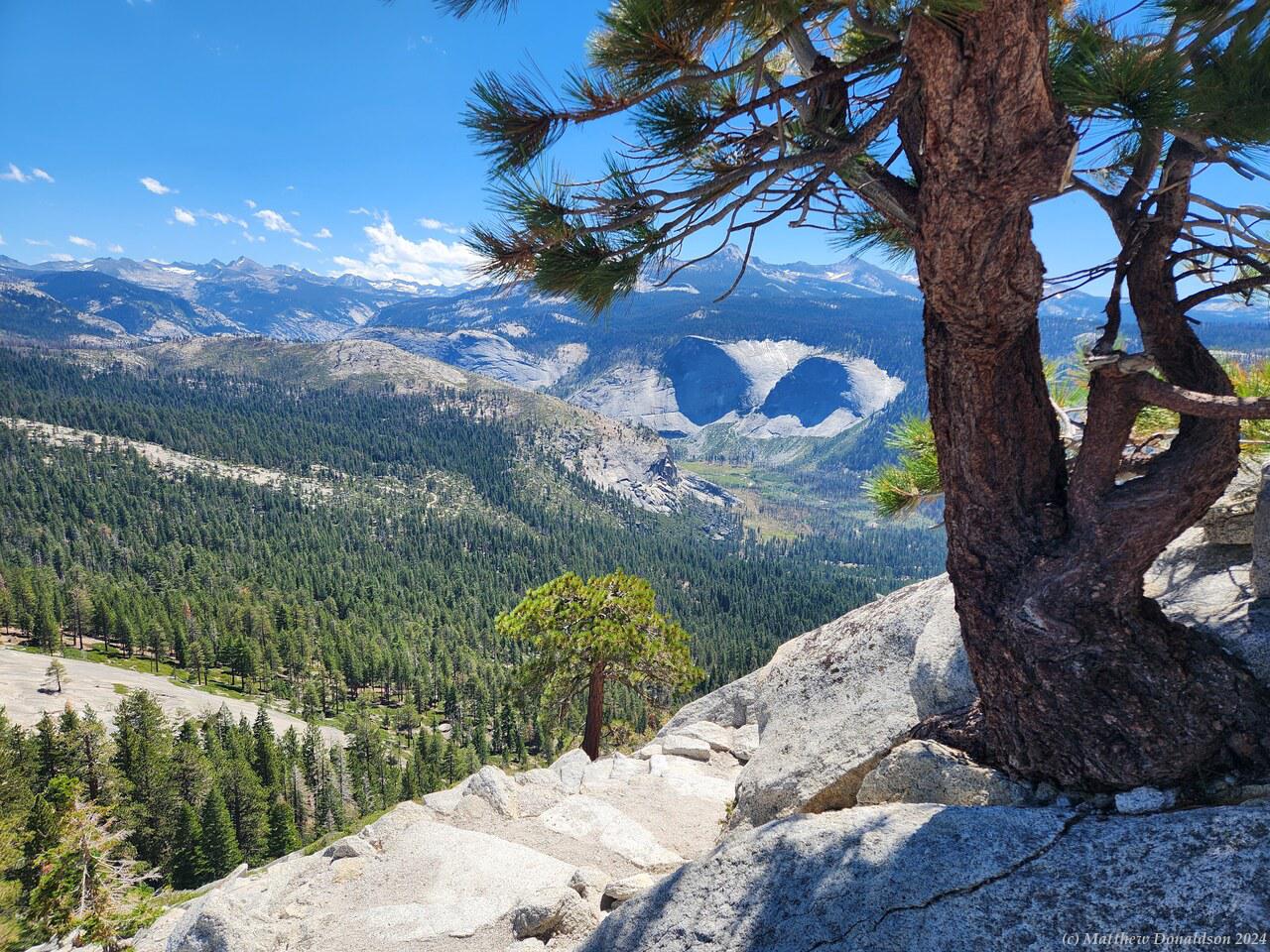
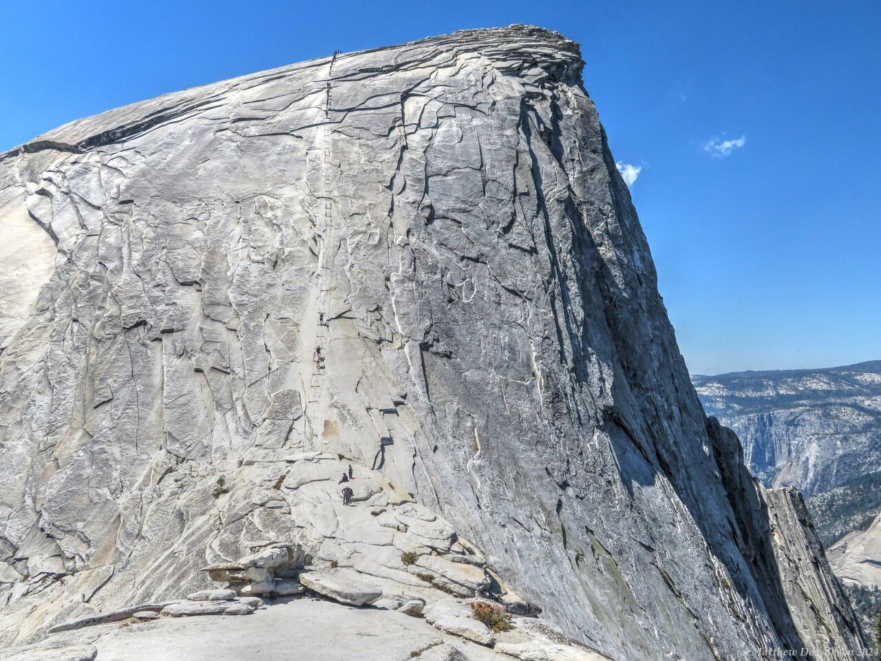
  

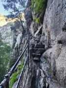
There were metal ropes held up by poles which you used to haul yourself up the steeply sloping bare rock face. There was one rope to go up, and another to come down, and boards nailed in every few metres, for footholds, when you wanted to rest. He told us what to do if we wanted to pass someone, but I was pretty exhausted by then, and I was sure I wasn't going to pass anyone!
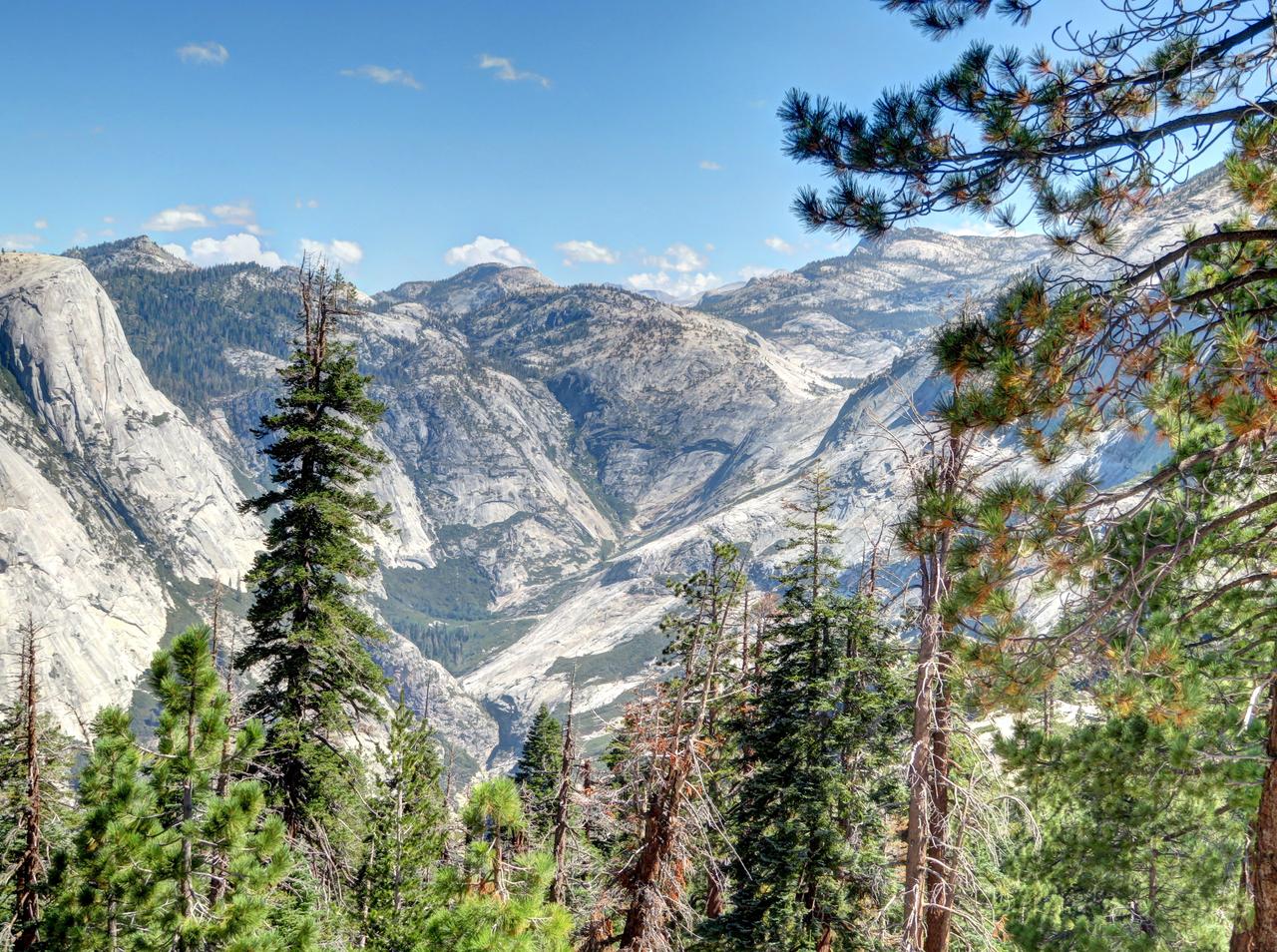
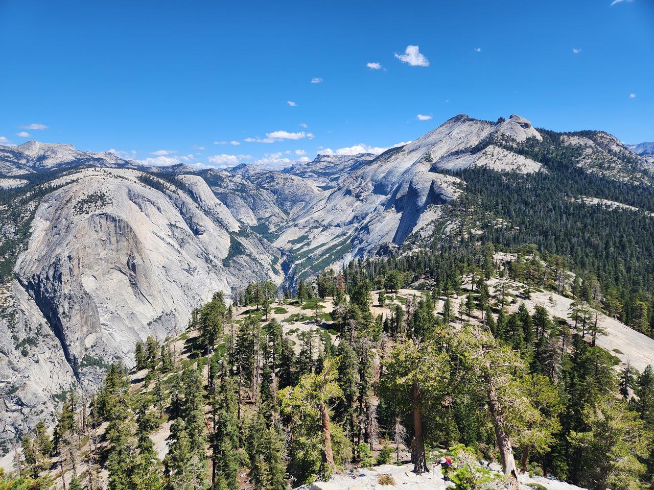
We rested at the bottom of the Half Dome, getting towards midday by then, and two of my group decided they'd had enough, and started the walk back down. The three knew each other and I think they were going to meet the other member of the group at the bottom. The other man and I started the arduous climb to the top. I could see the two ropes, and boards, going up and up into the distance, a rather daunting sight.

There were a good many other people going up and down. Basically I would haul myself to one of the boards, then wait panting furiously until the person above me started up to the next board, then I would work my way to that board. It was very hard work, at a 45 degree angle, using mainly arms, because the rock was quite slippery from people ascending it for over 100 years, so there wasn't a lot of grip with the feet. Following advice I'd read online, I'd brought cheap gloves to wear for this part, which made it easier on the hands.
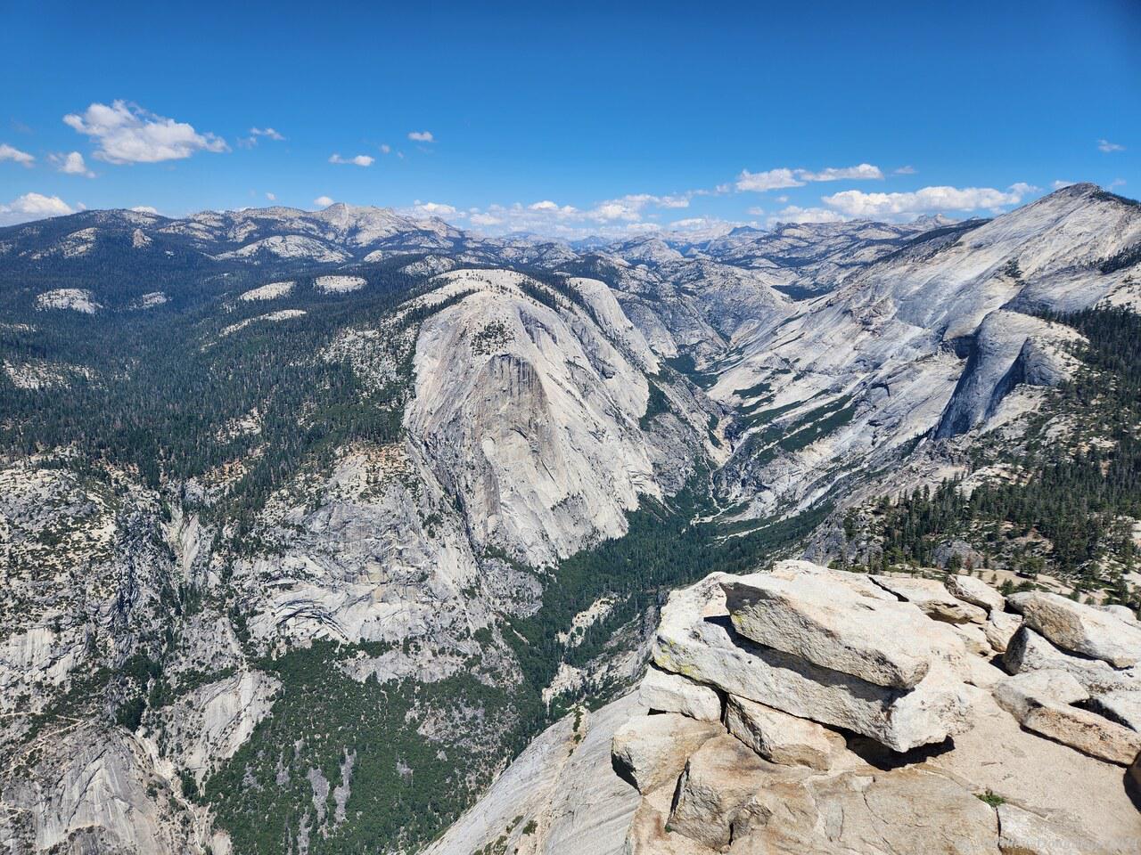
As I went, people were going by me on the way down on the other rope, which was quite close. A few people gave me encouragement as they passed, especially as we neared the top, telling me that it wasn’t far now. Finally we made it to the top! That section took around half an hour.
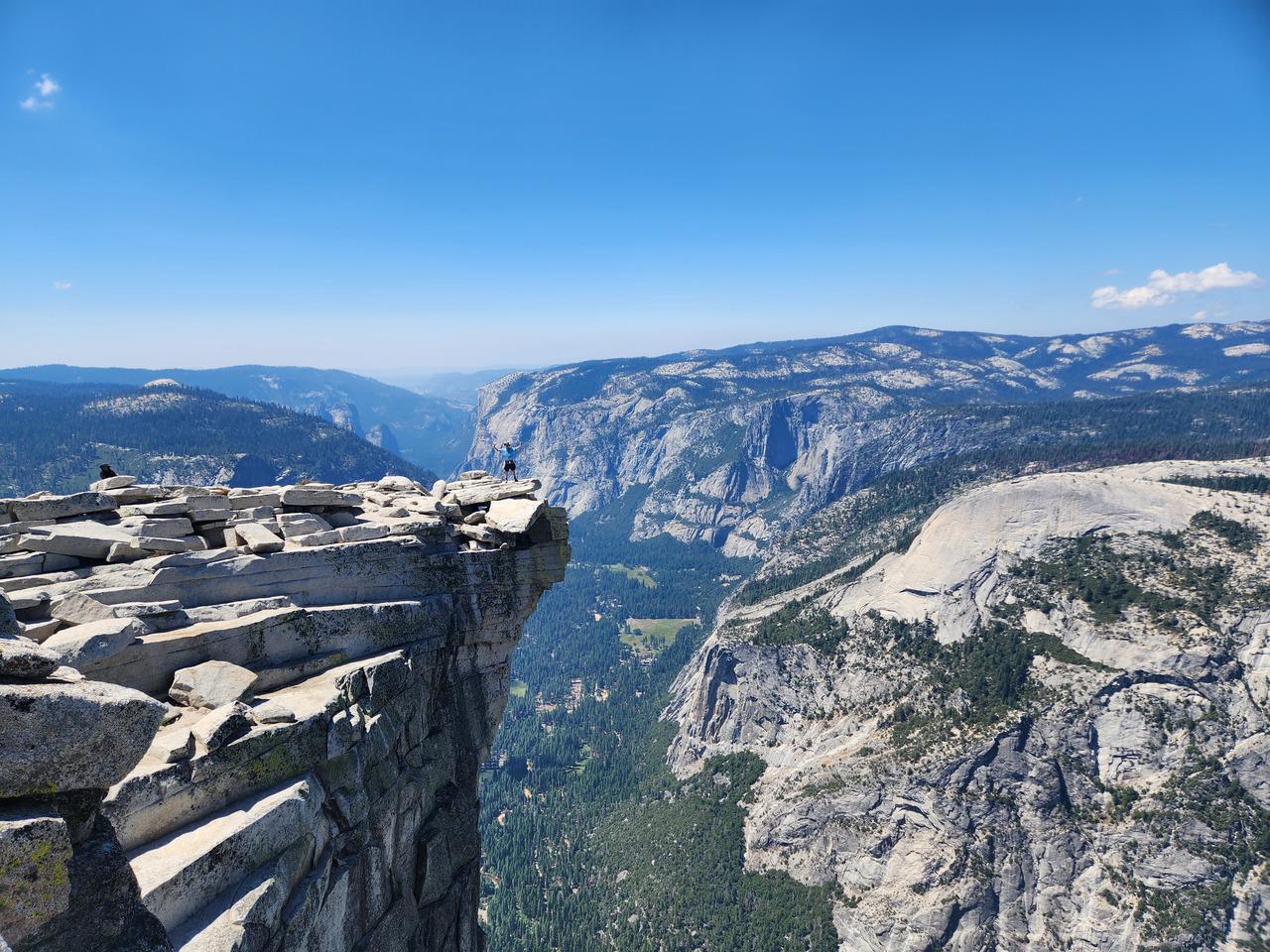
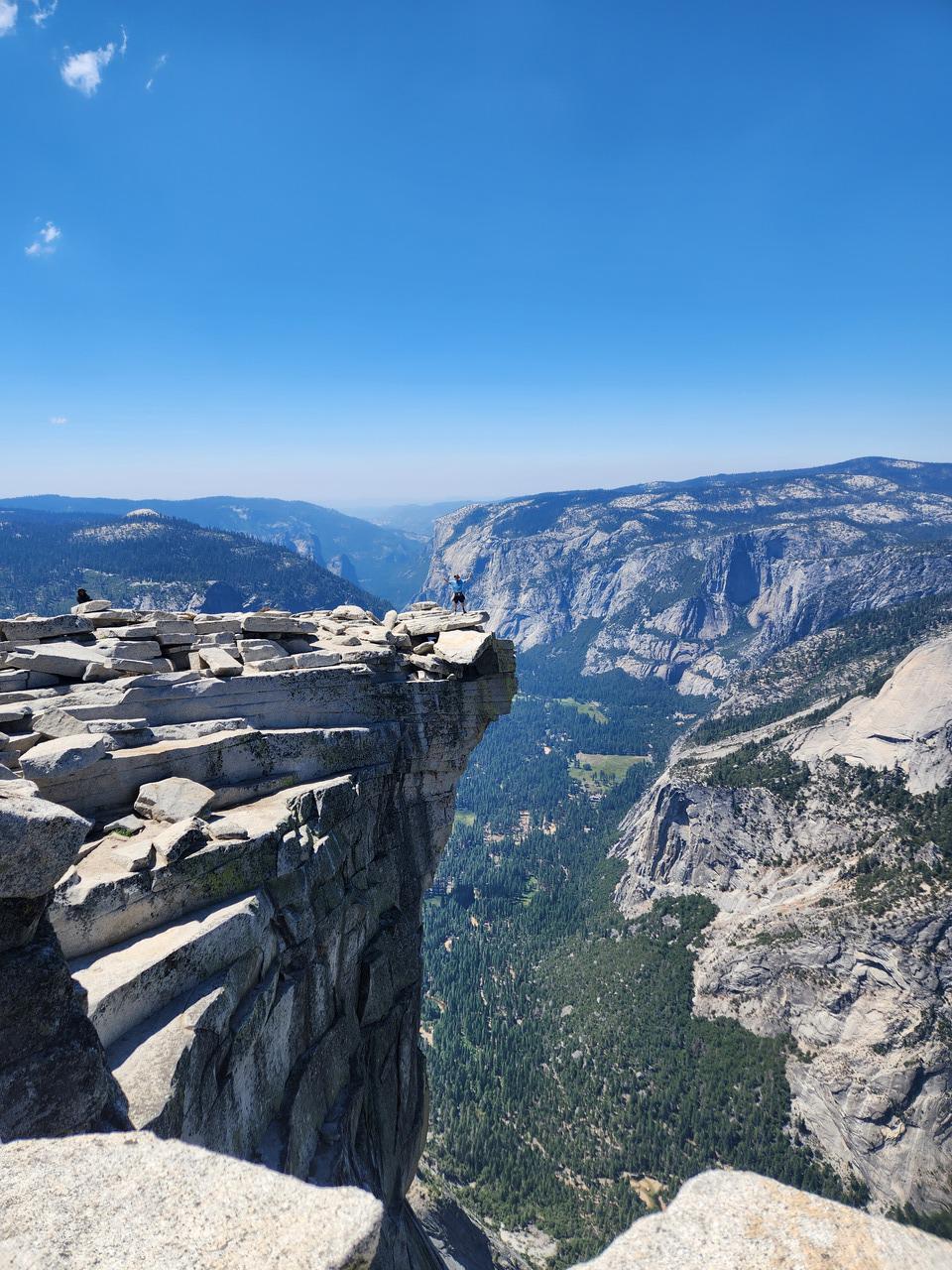
  

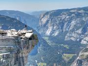
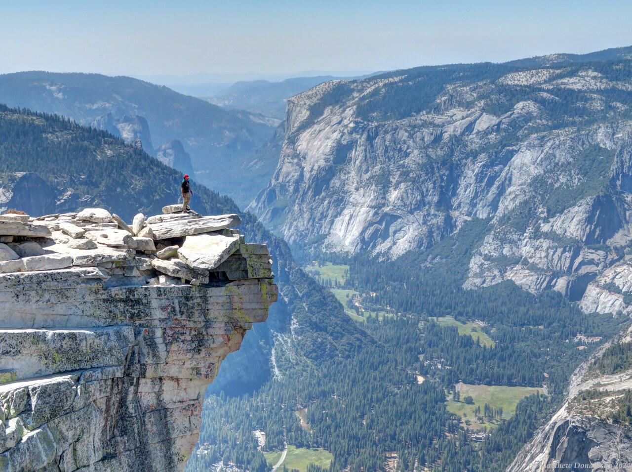
There were perhaps 50 or more people at the top, and it was a large fairly flat area. There was a group of ladies sitting down, who looked to be in their late 20s or 30s, and one said hello as I passed, and offered to take my photo. There was a spot sticking out of the dome, which she knew about. People would stand out on what looked, at the right angle, as though you were jutting out into a huge sheer drop, though it wasn't actually as bad as that. You did have to be careful getting on and off though!

There was a line up, as was often the case in the US parks, to get a photo. I waited in line, and she waited some distance away at the spot where people were taking the photos. It took something like 15 or 20 minutes to get to the front of the line, it was very kind of her to wait.

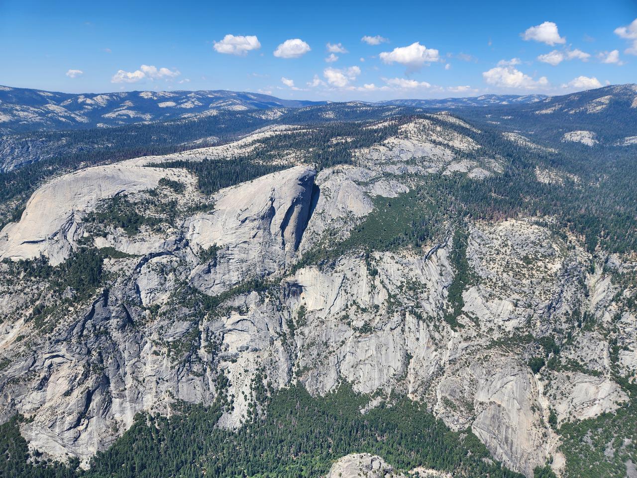
I had lunch there, near the edge. There was nothing stopping you from going right to the edge if you wanted. It must have been something like a three or four thousand feet sheer drop from the edge. I got within a couple of metres and saw cars like dots at the bottom and thought that was close enough! I stayed there for a while, and my friend I'd hiked with left to go down.

After a while I started on the descent down the ropes, which we'd been advised to do backwards. It was definitely much easier going down, though I still had to ease myself down using the rope. We stopped for about 20 or 30 minutes at one place, because one person way down near the bottom had a harness and was clipping and unclipping himself, making everyone else go really slowly behind him, then a lady started to panic part way up, and held onto both the up and down ropes and wouldn't let go, stopping everyone. The views were nice while we waited, and eventually she was convinced to keep going, I think she kept going up rather than turning back.
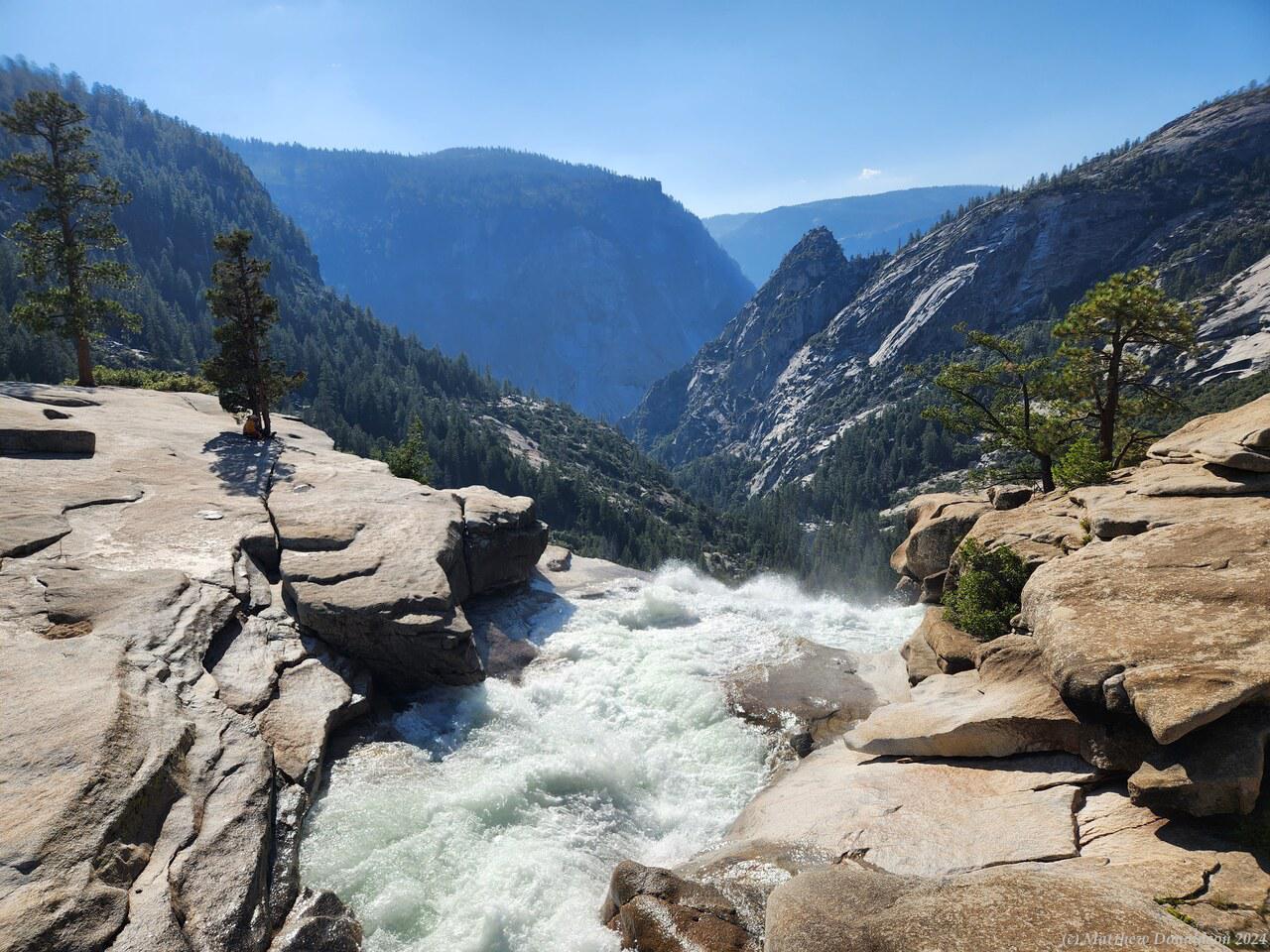
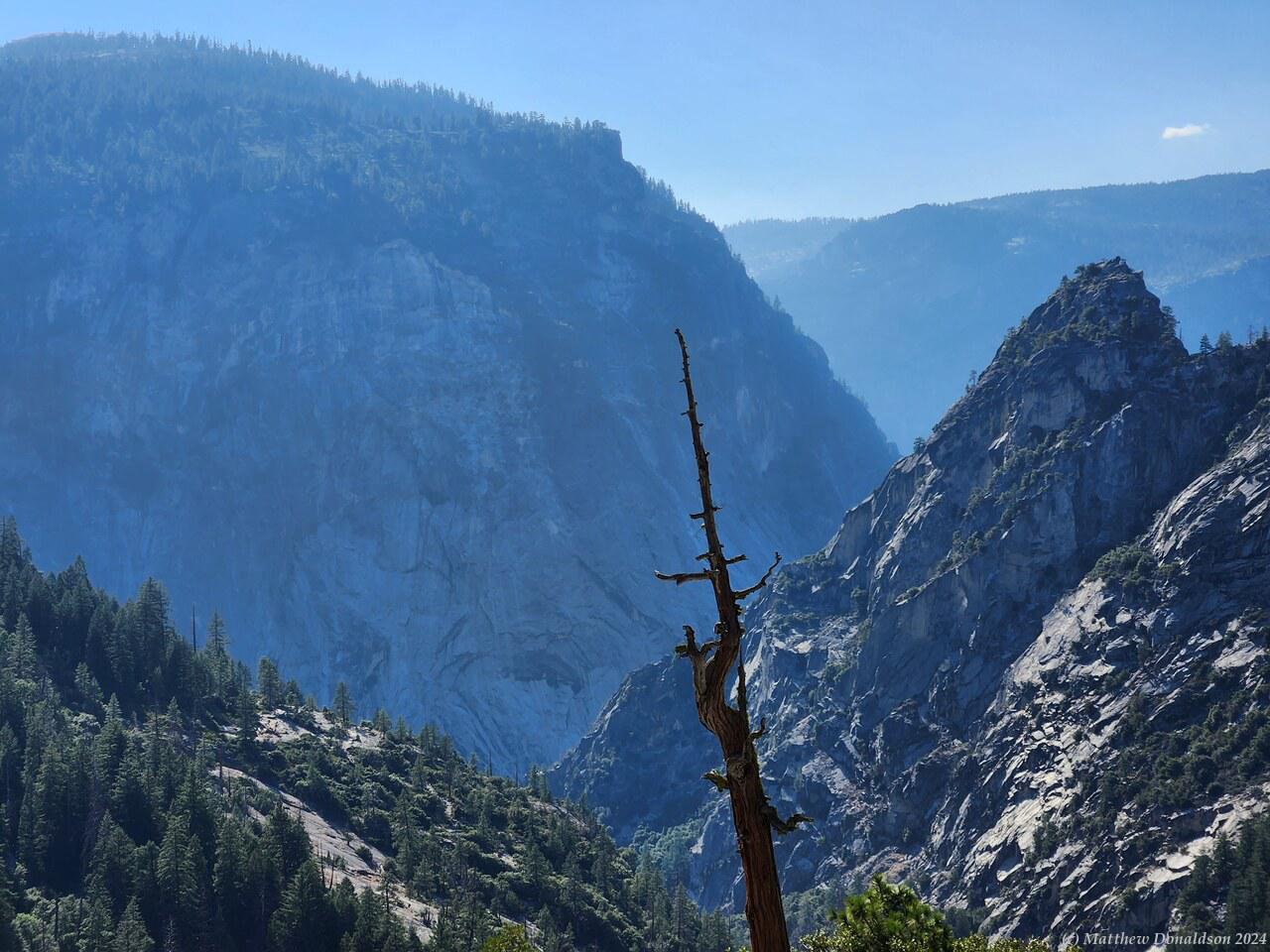
  

It was a long way down back to the campground. There were two routes for part of the hike, forming a loop, and I took the other one going down. Part way along I was met by a young guy with lots of tattoos, and rather punk looking hair. He said he'd got lost, separated from the people he was walking with, and somehow got off the track he’d been on and had been wandering without a track, which must have been scary. He found his way to this track but wasn't sure where he was. He asked if he could walk with me and was very grateful I said yes.
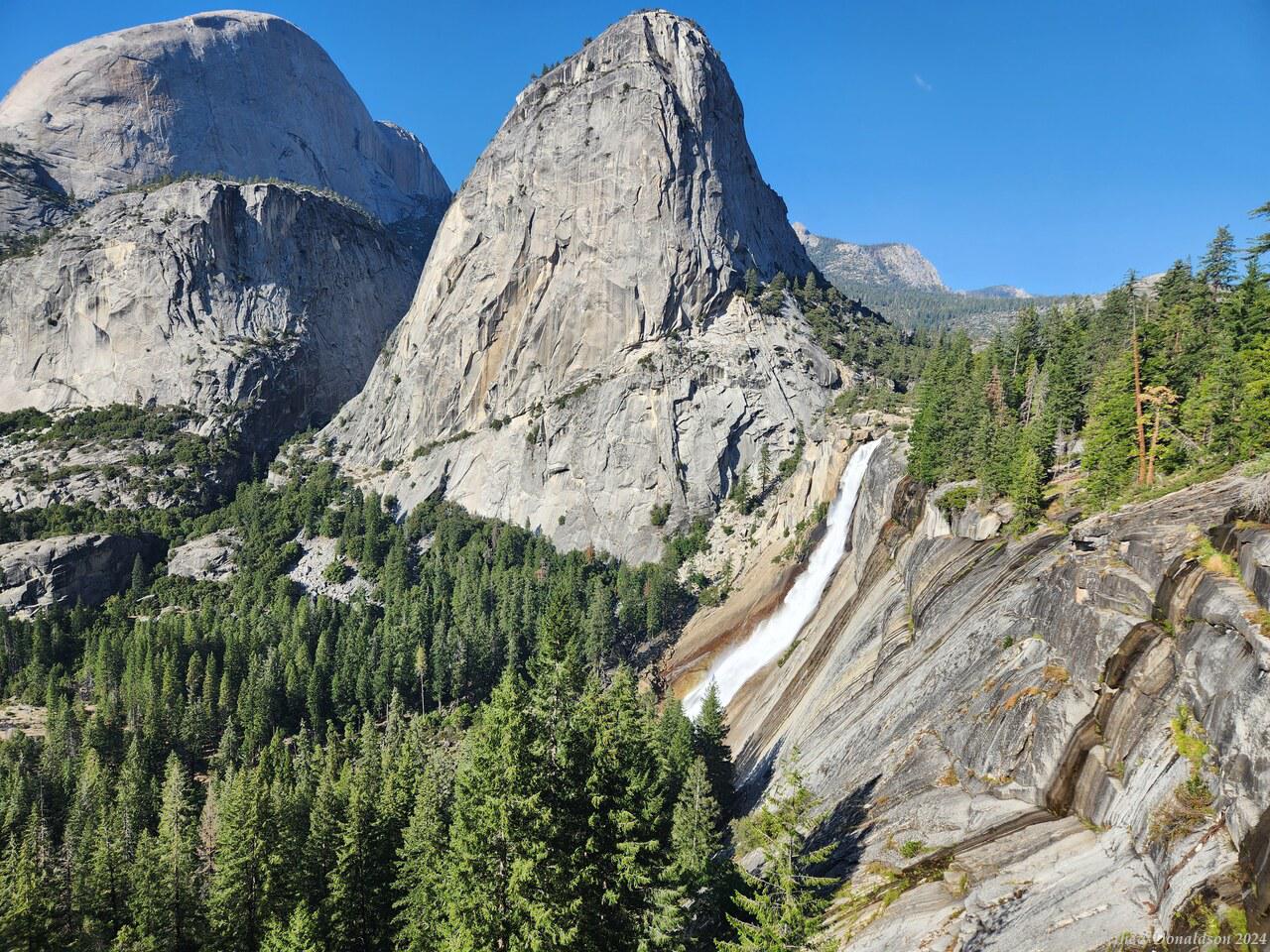
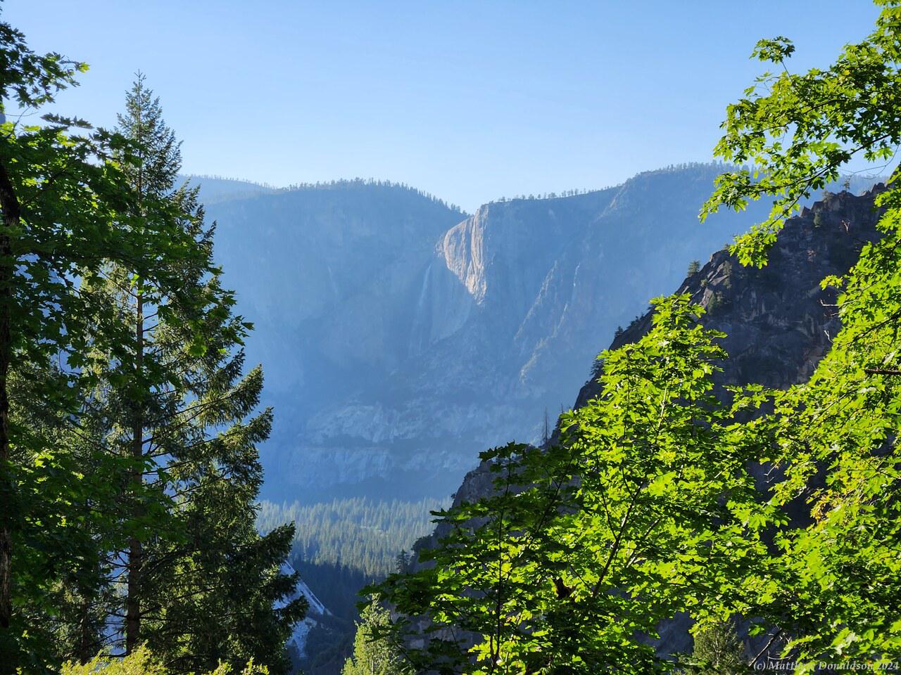
  

As we got lower, we got to another stream and he plunged in. I went on after a little, and lost sight of him for a while, but we ended up together again. When there was reception he rang his friends, and from the sound of the phone call they were unimpressed that he'd got lost and separated from them. He asked me where the track went, and arranged to meet them somewhere at the bottom. After a while I stopped to take photos and he went on by himself.
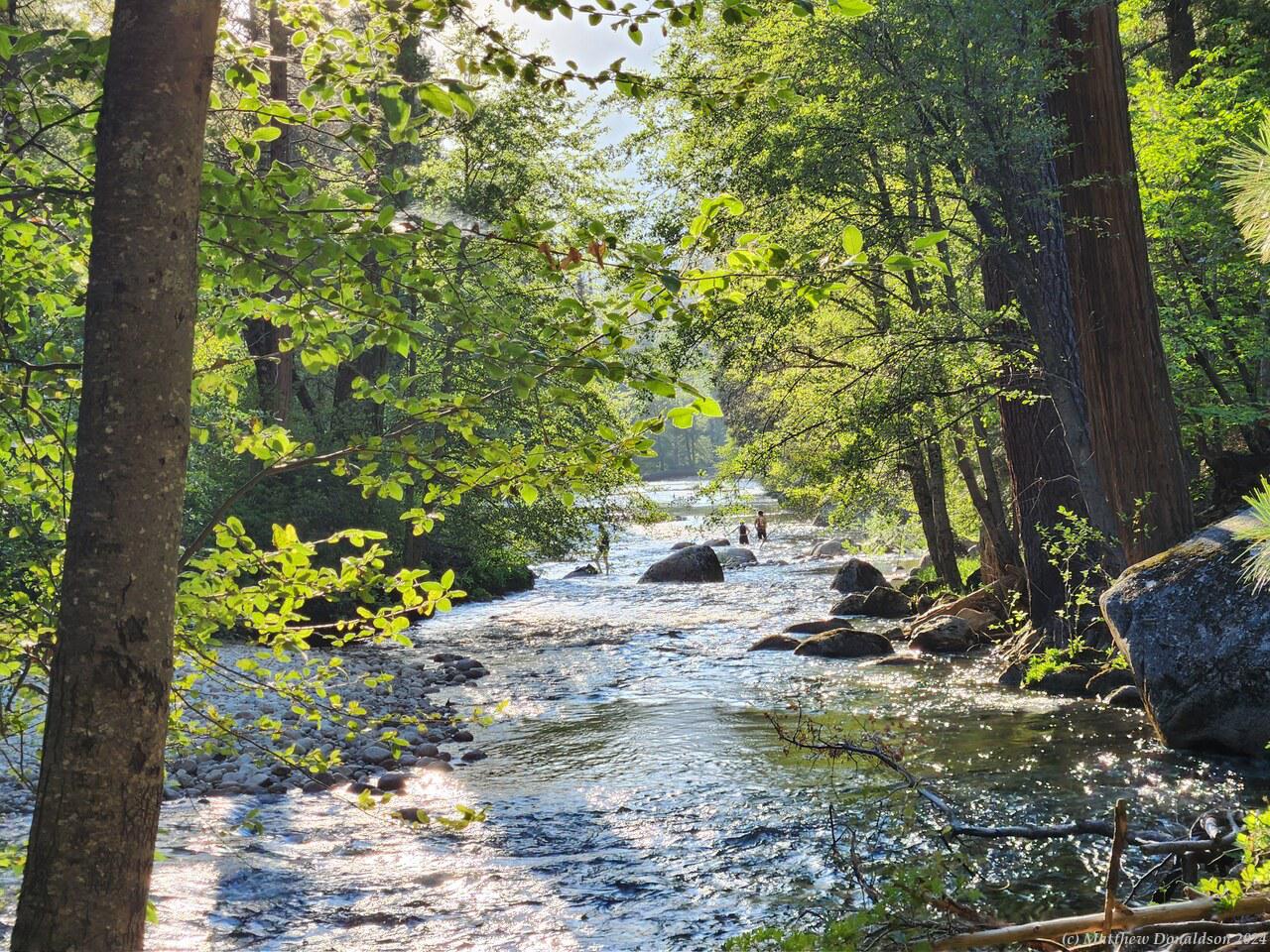
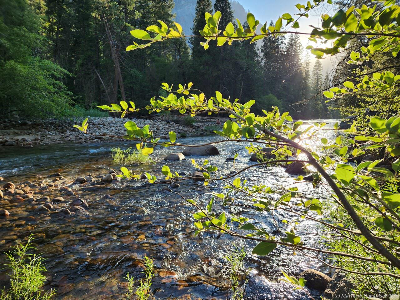
  

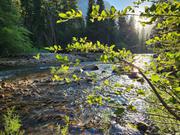
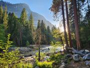
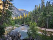
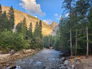
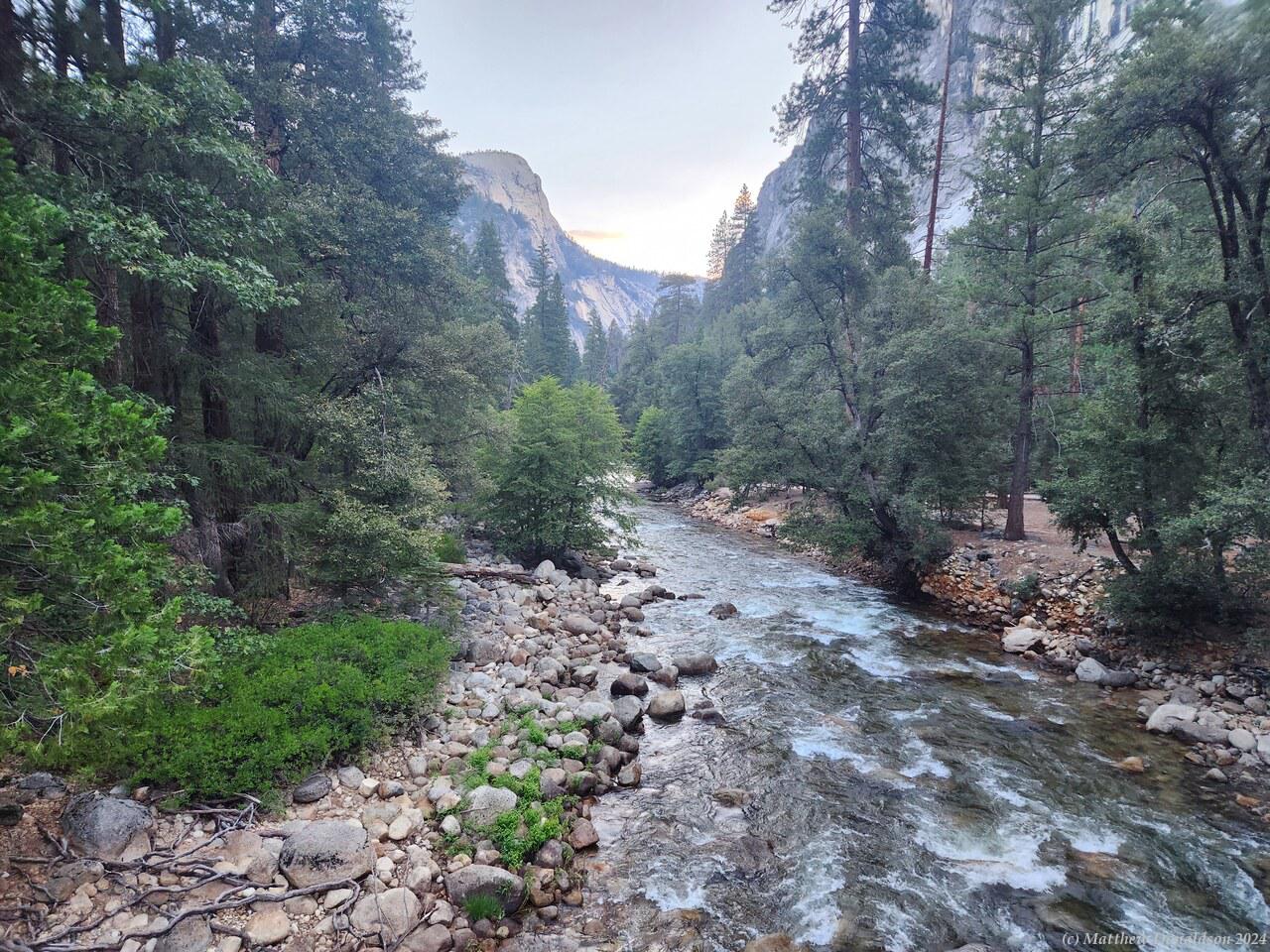
Near the bottom I was getting very footsore. I hiked along a beautiful river, and was looking for the campground, which I thought was next to it, but couldn't find it. Opening Google Maps revealed that I'd ended up on the wrong side of the river – the campground was on the other side! So I had to take a longer detour. I took off my shoes to reveal some decent blisters, and bathed my feet in the river, then found my way to a bridge further down, and backtracked to the campground. I was very glad to be back, around 7pm!
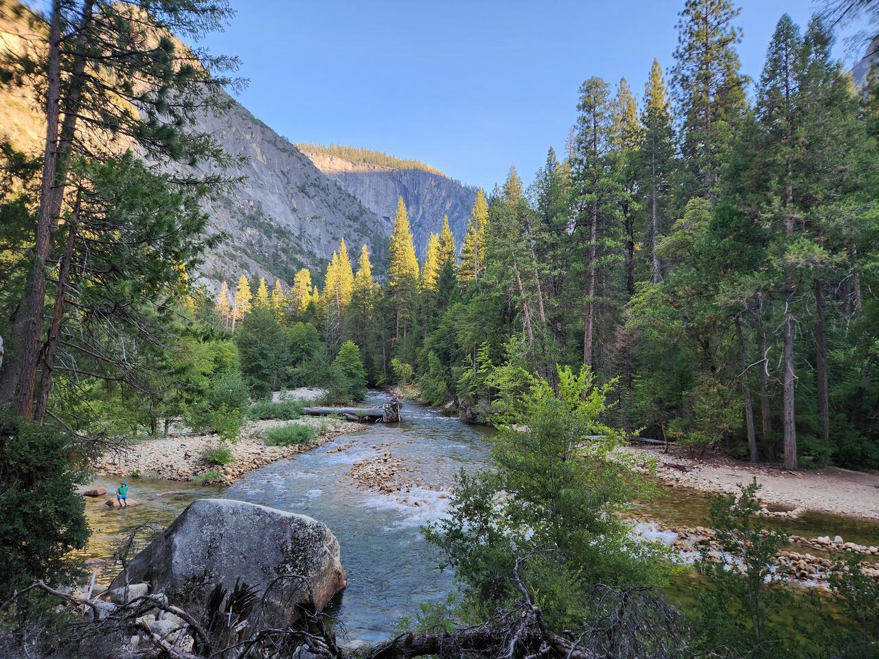
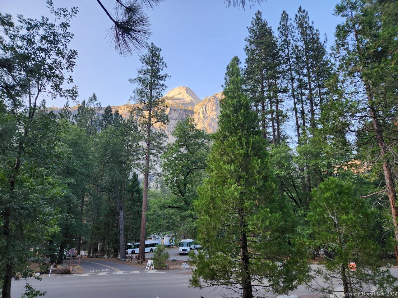
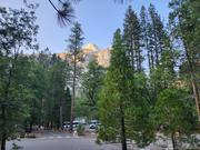
I made some dinner and lay down on my bed, and then someone knocked on the door. It was a European lady who said I was in their campsite. She and presumably her partner had arrived after dark. I went outside and looked, and indeed I was in the wrong one. We tried to find where mine was, and there were some branches obscuring the sign. I'd seen the number before mine, then assumed that the next one I saw was mine, not noticing the obscured one in between. I'd spent a night and day in the wrong spot! Thank the Lord they didn't come while I was away. I drove around and tried to back into my spot without much success – I still wasn't very used to doing that, and much more so in the dark, but got in there with their help, then slept!
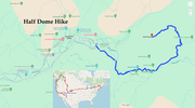
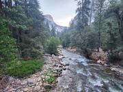
Image Gallery

Thursday August 24th


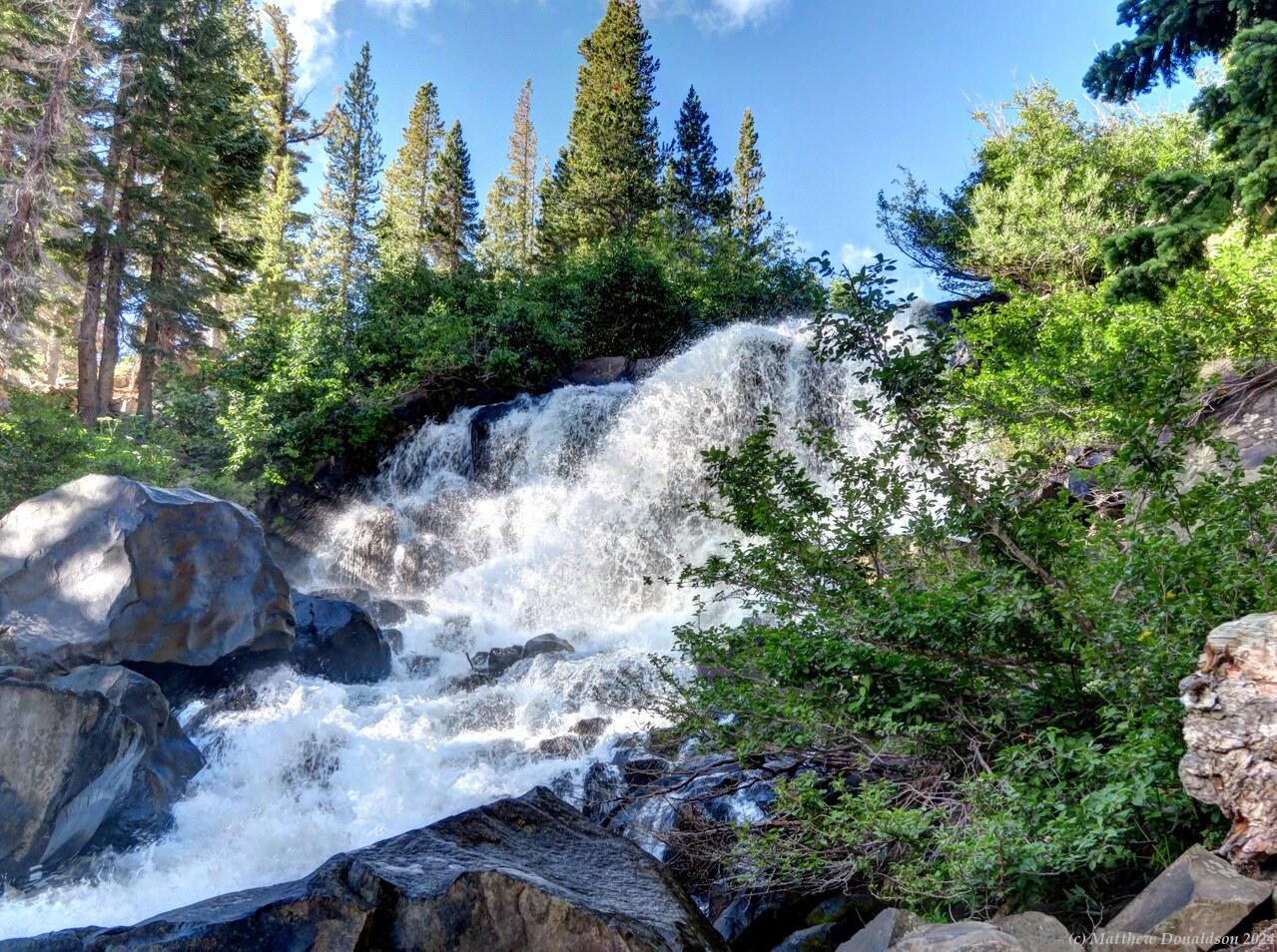
After making breakfast, I left the camp and thought it might be nice to see a little more of the area instead of going immediately. So I went off trying to find the top of the large waterfall, which proved more difficult than I expected. I thought I had passed the head of a waterfall driving to the campground from the town, and hadn’t stopped for it at that point, and I assumed that was the large waterfall, but it turned out to be just a smaller waterfall or weir or something of the sort.

So I found out I had to drive on past the campground to find the large waterfall, and then I actually passed the overlook without realising it, and came to the end of the road, next to another lake. With the help of Google Maps I found it in the end, and it really was spectacular, with a huge torrent of water going down it, and a view over the lakes below. There were a number of lakes in the area. There was no track that went around the lake to the bottom of the falls, and only a very rough informal track going part way down the steep slope the falls were on, but I walked down that track part way and admired the falls, and took some photos.


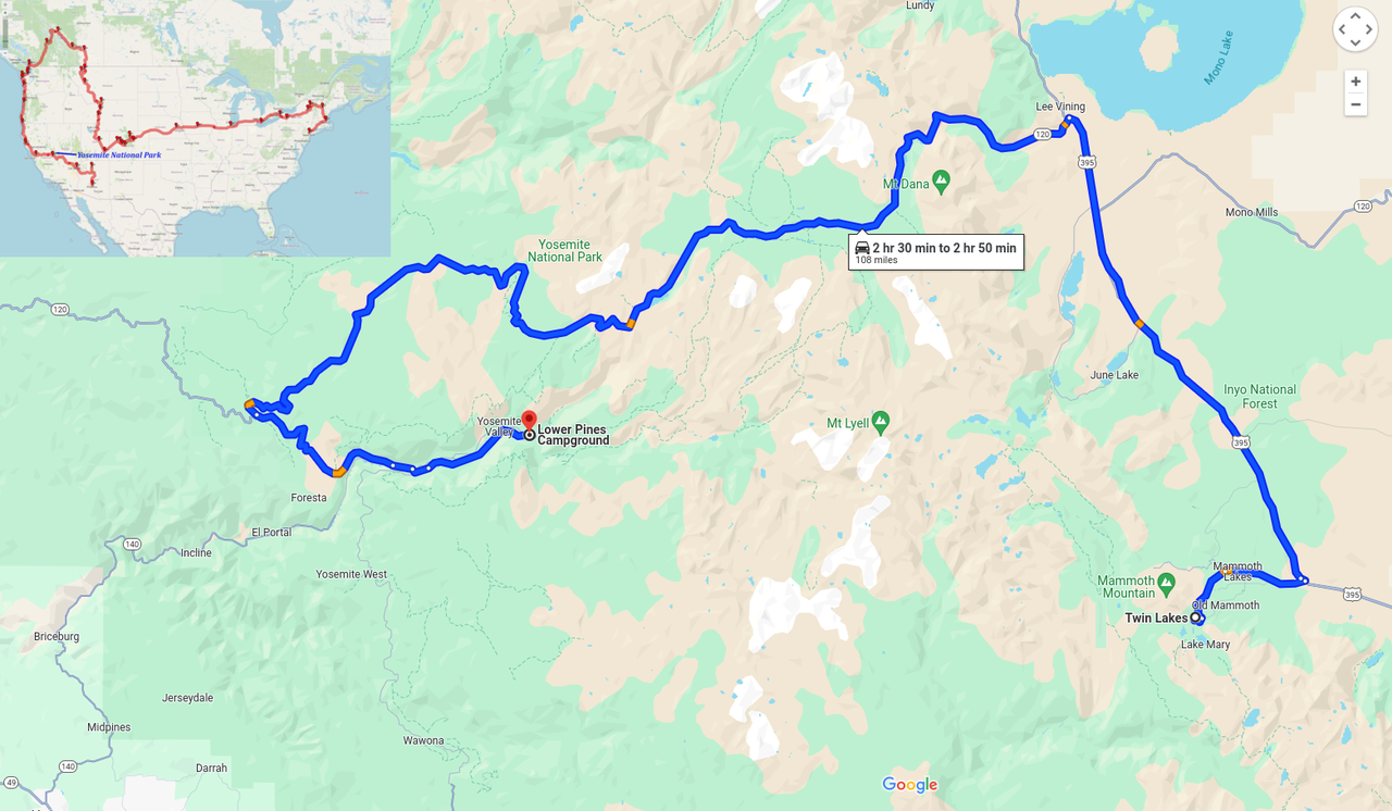
Then a bit before nine I left for Yosemite National Park, which is very beautiful, and very busy! I headed back onto the main four-lane highway and followed it north for a while, then off onto a smaller road that wound around through the mountains. There was a bit of traffic along here, and not a lot of places to pass. I passed a truck along a stretch where I could see, I think the first time I actually needed to (and was also able to) pass anything. The van was a bit sluggish off the mark at traffic lights, but I found it could accelerate pretty well if you really pushed it, revving up to nearly 7,000rpm. I only needed to do that once or twice.

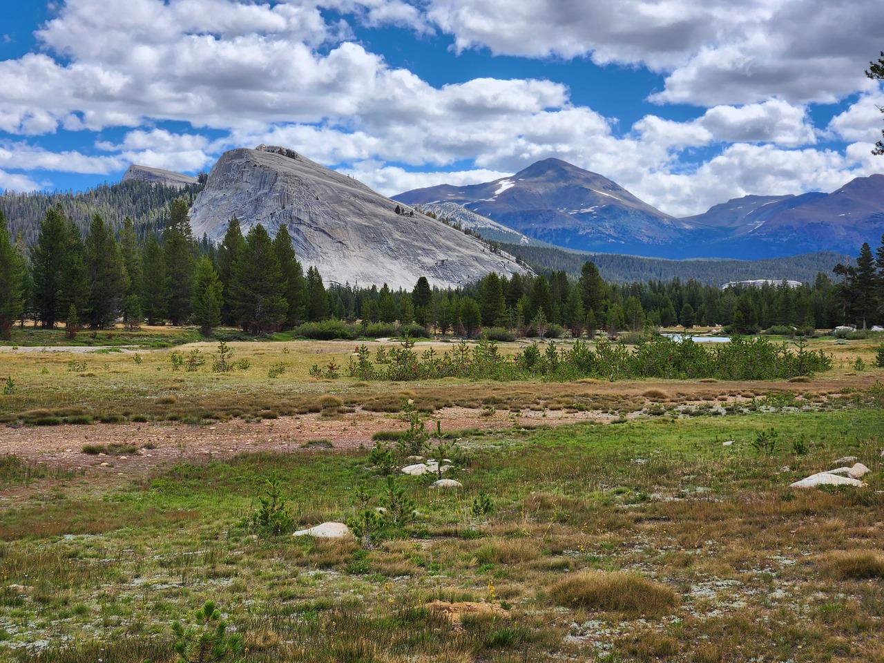
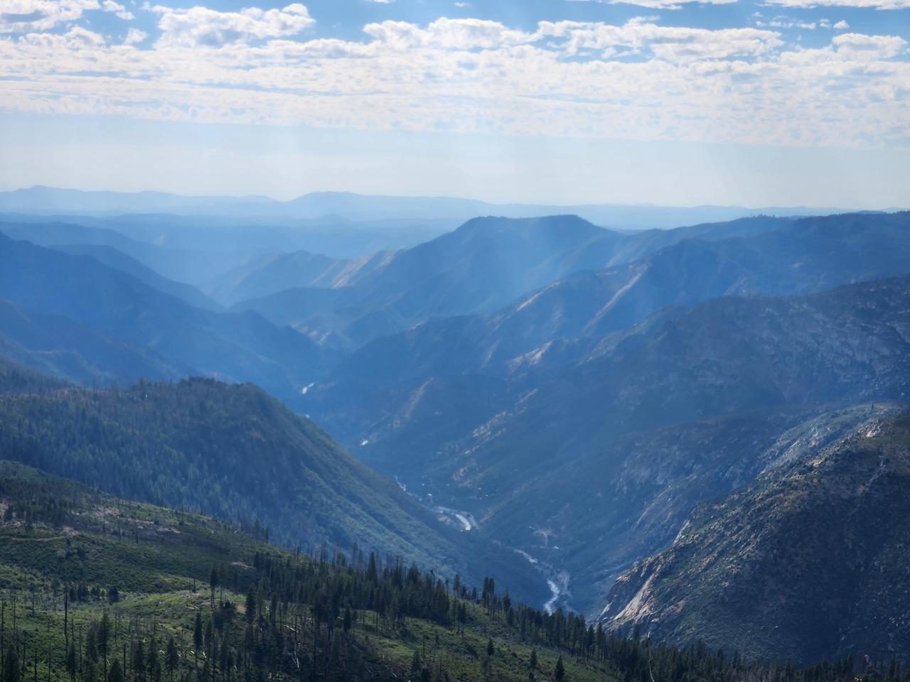
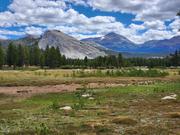
I kept going up till I reached the entrance to the park which was at 9,500 feet (2,900m), and seemed to be at the peak of a pass. The park itself is huge. It was something like an hour's drive from the park entrance to the Yosemite Valley where I was to stay, and where most of the action is. On the way I passed Tuolumne Meadows, a wide grassy area high up in the mountains. I pulled in there – I had planned to do a bit of a walk along the meadow – but while it was pretty, it didn’t look like a spot for an especially interesting hike, and I decided to press on.


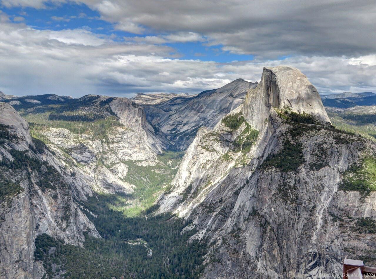
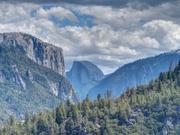
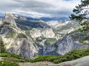
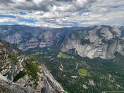
I didn't go right into the Yosemite valley at first. I made a sandwich for lunch at a pull-off near the entrance to the valley, and ate it by a lovely river that ran near the road, and saw a black bear on the other side. It was enjoying the sunshine along with me probably. After lunch I drove on further up a winding road, and through a tunnel, to Glacier Point, which was truly spectacular, a high point overlooking the Yosemite Valley, and with a view to Half Dome on the other side of the valley, which I was to hike to the next day. There was a souvenir and food shop at the summit, and a lot of people around, but I was able to find a car park without much trouble. I met with a few friendly people and we chatted about the hike. They encouraged me to get to the top the next day!


I headed back down into the valley after spending quite a while admiring the views. I had one or two hikes in the Glacier Point area pencilled in, but as often, I was later than I had imagined I might be when I planned things, and the day was running out. The valley had a lovely river running through it, and immense walls of rock rising up around it. I got into an area with buildings, and looked for somewhere to register, without success.

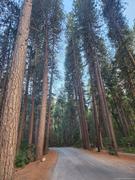
So I found my way to the much sought-after Upper Pines campground where I had been able to get a booking. It was large and very busy, and though it had quite a few trees through it, I think most of the foliage was at the top, and the trunks didn’t afford much privacy, so you could see everyone's campsites pretty much. But people didn’t come to this campground for the ambience. It was nestled deep into the valley, near a lot of good spots, it provided a parking spot (and these were scarce commodities), and for people like me doing the Half Dome hike, it had the big advantage of being within easy walking distance of the trailhead.

Bookings opened about five months beforehand, and prior to that I had booked a campsite at an RV park about half an hour’s drive from the trailhead, as a backup. But since thank the Lord I did score a campsite when bookings opened (even though a lot of them were booked out in seconds), I was able to cancel the other booking. This made a big difference – I would have had to leave very early indeed to get to the trailhead otherwise. It was a very early start as it was, and I was thankful to be able to end the hike right at my van, instead of having to drive back out again.


Upper Pines was a large campground, and there were a lot of fires going, and smoke everywhere. It was interesting to see all the families and groups throughout the campground making dinner, eating or playing games.

I had driven by a kiosk at the entrance to the campground when I came in, but it was closed. I found out from a camp host that you needed to register there between 10am and 4pm or something like that, which wasn't very convenient! Since I was going on the hike all the next day, he suggested to write a note on a piece of paper explaining that and leave it on the dashboard, which I did, and then to register on the Saturday. I had a little walk around, looking at the mountains and the river running near the campground, and worked out how I would exit the campground to get to the hike the next day.
There was a hiking trail that went out to the main trailhead, which ran past the campground, but going out the main campground entrance to get onto the start of that trail and then following it back around the outside of the campground added quite a bit of distance to the walk. I found a way to cut across to the side of the campground from my site to what looked like an access track to a spot on the outside of the campground where the trail went by, and while it wasn’t entirely clear what the boundaries of the campsites were, it looked as though it would be ok to get out that way without going through anyone’s site. After having dinner, I headed to bed for a very early start.

Image Gallery

Wednesday August 23rd

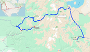
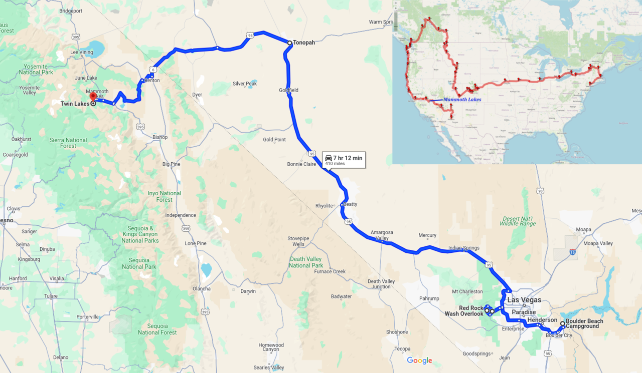
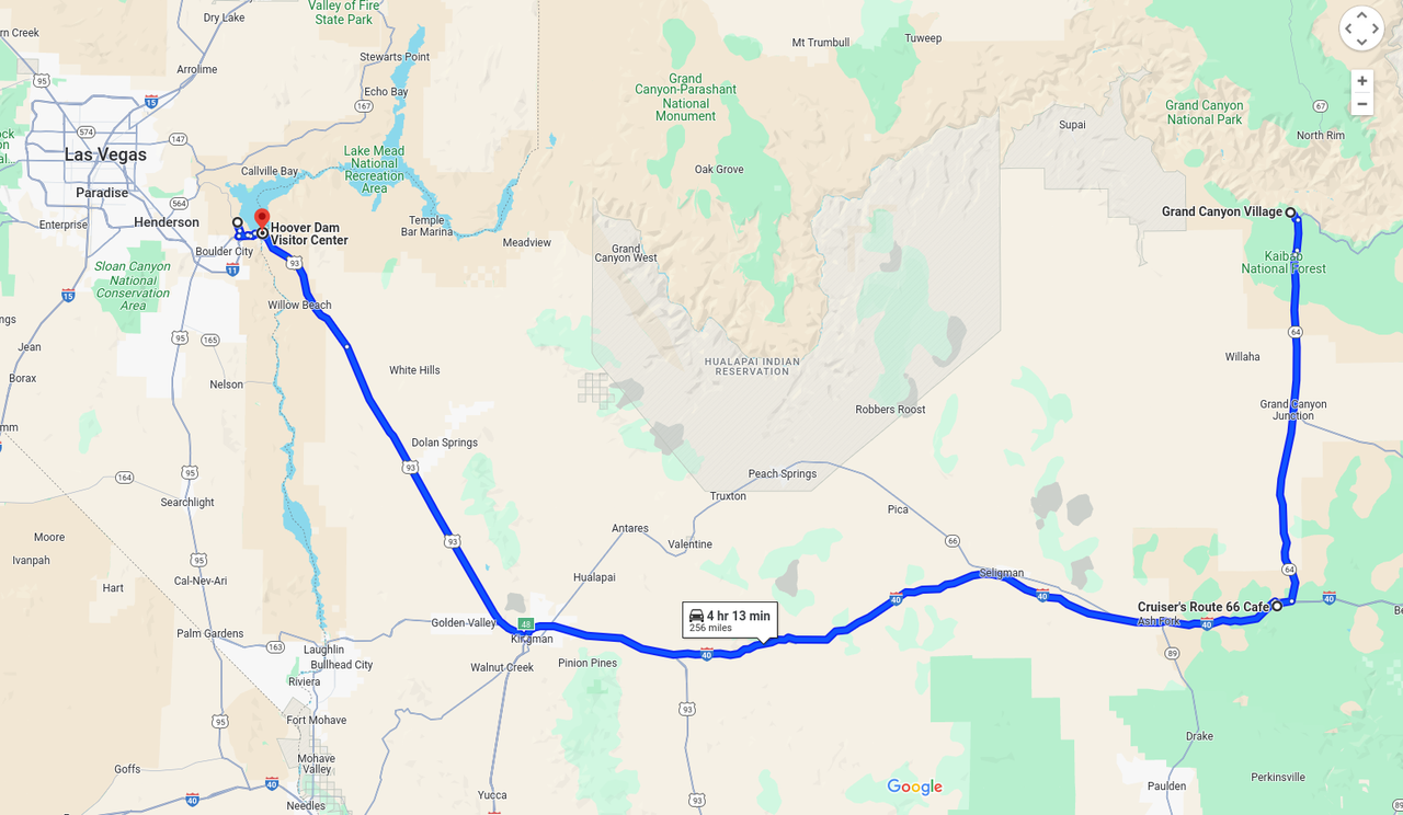
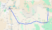
Route for the day


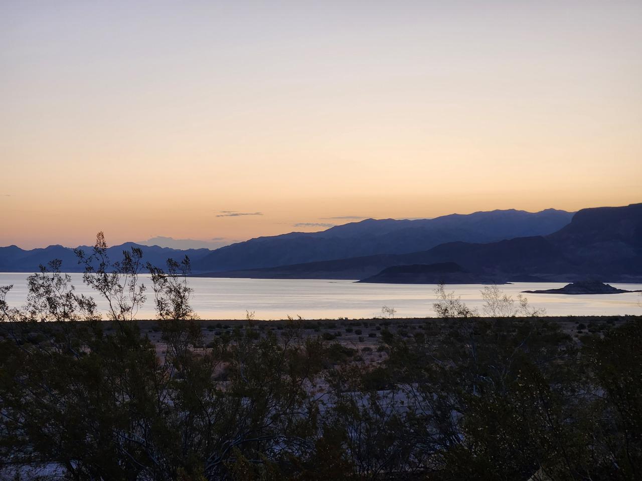
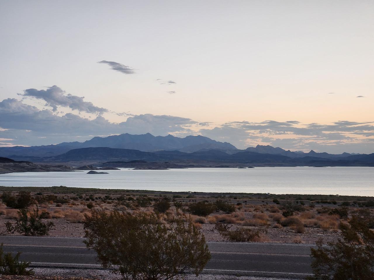
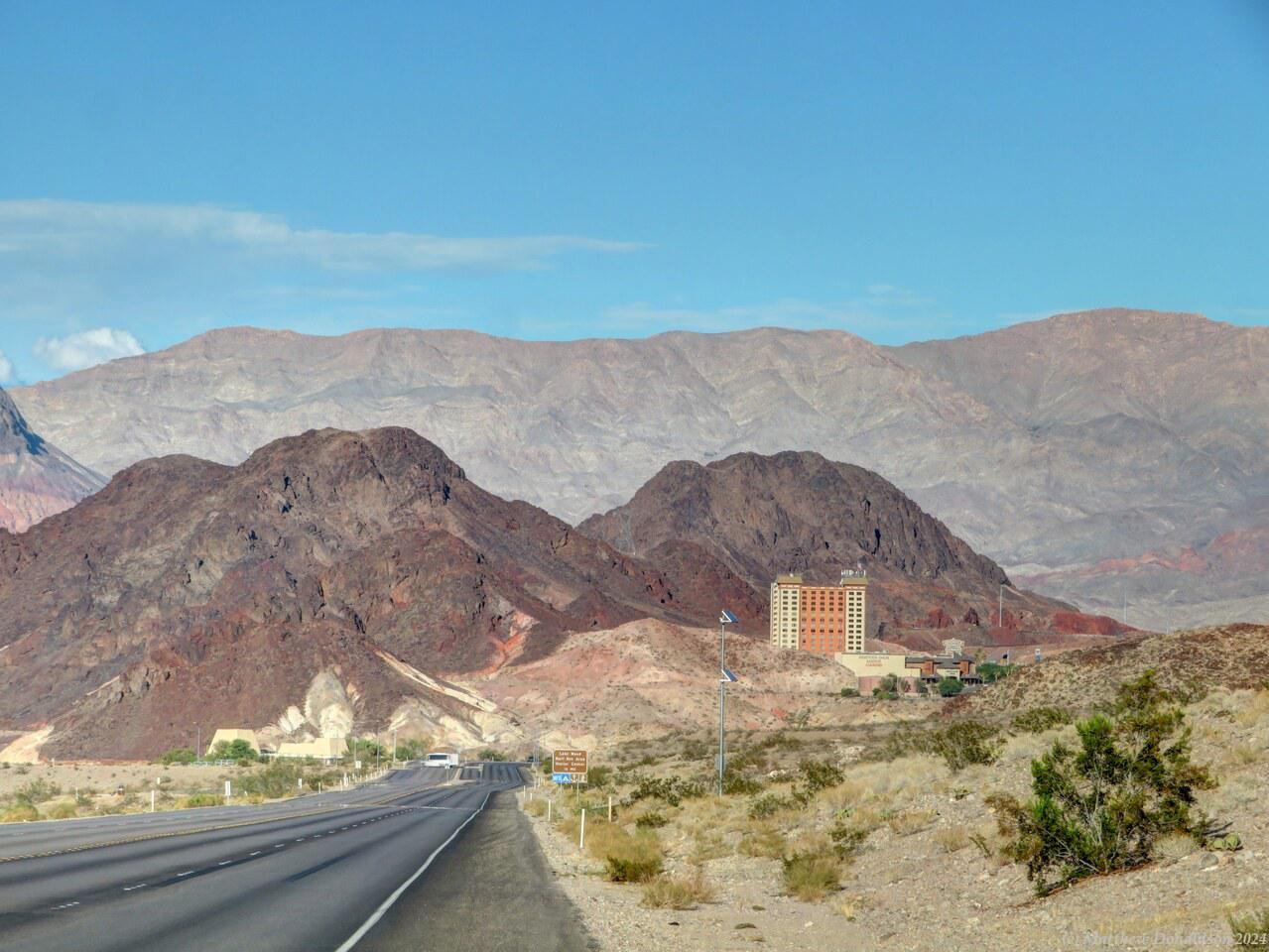
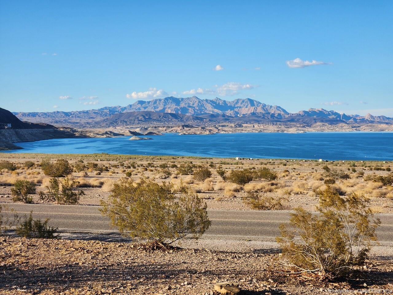
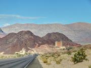
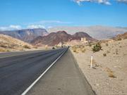
After a hot night, making good use of the fan, I headed for the mountains again. This time my destination was in California. I had a big day of driving ahead of me, over 400 miles (700km), and I was up before six, enjoying the dawn colours over the lake.

From Lake Mead, I went through a town with palm trees along the road, then headed through the outskirts of Las Vegas on highway I-215. I could see the city centre buildings a few miles away. I left early but there was still quite a bit of rush hour traffic on the highway. It was slow going for a while but not too bad. I fuelled up again on the way through; the van was pretty thirsty.

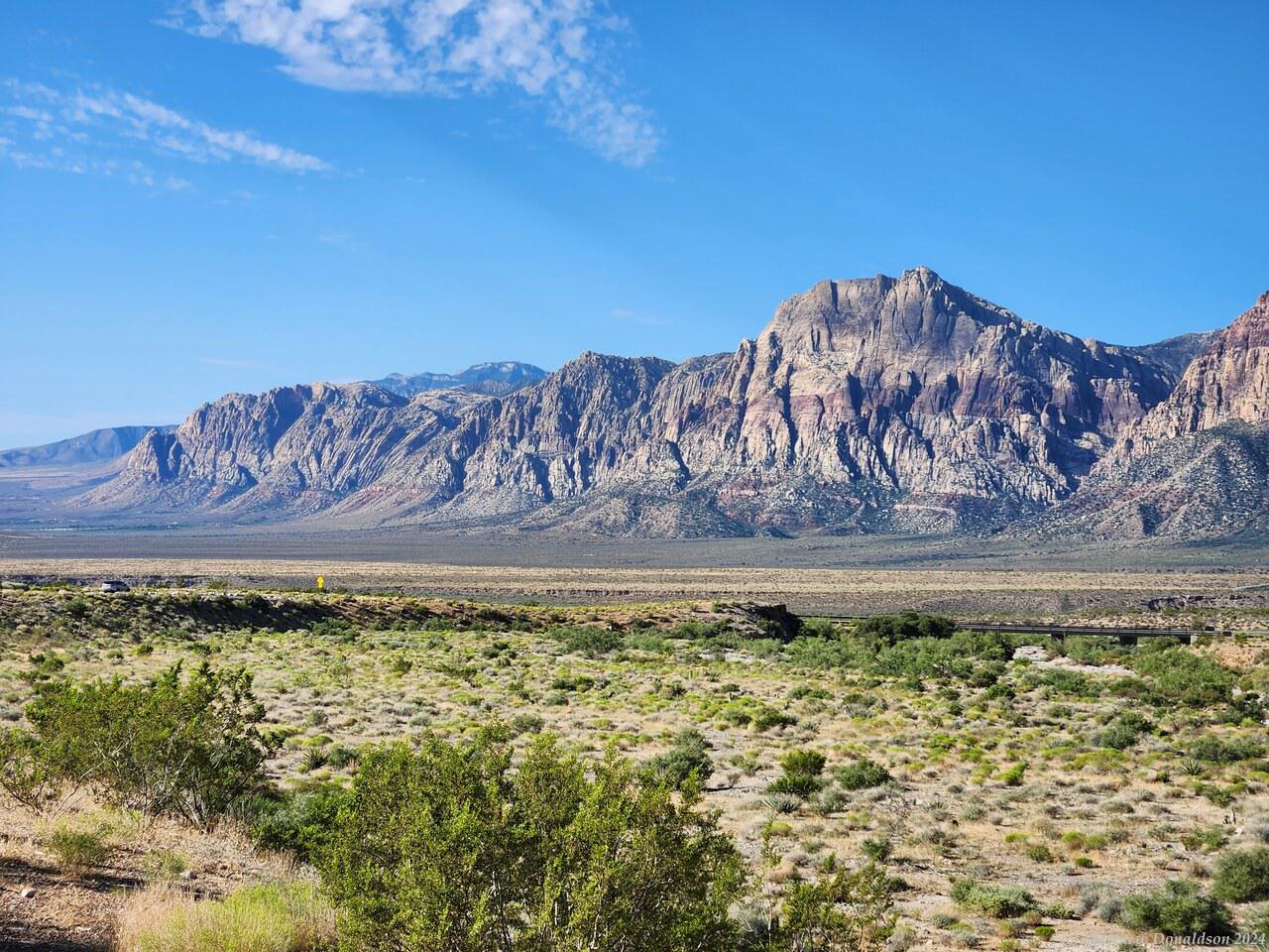
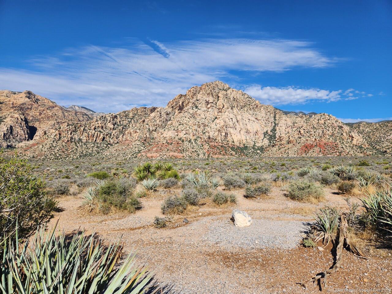
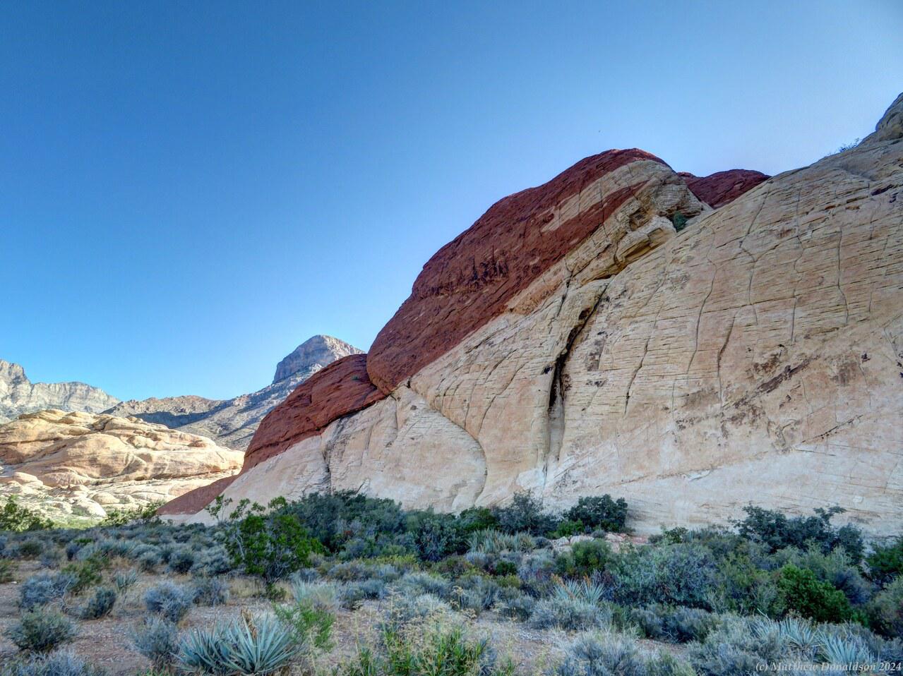
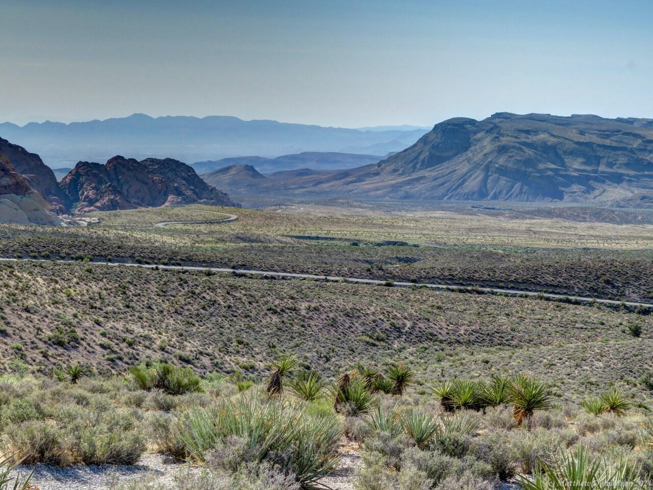
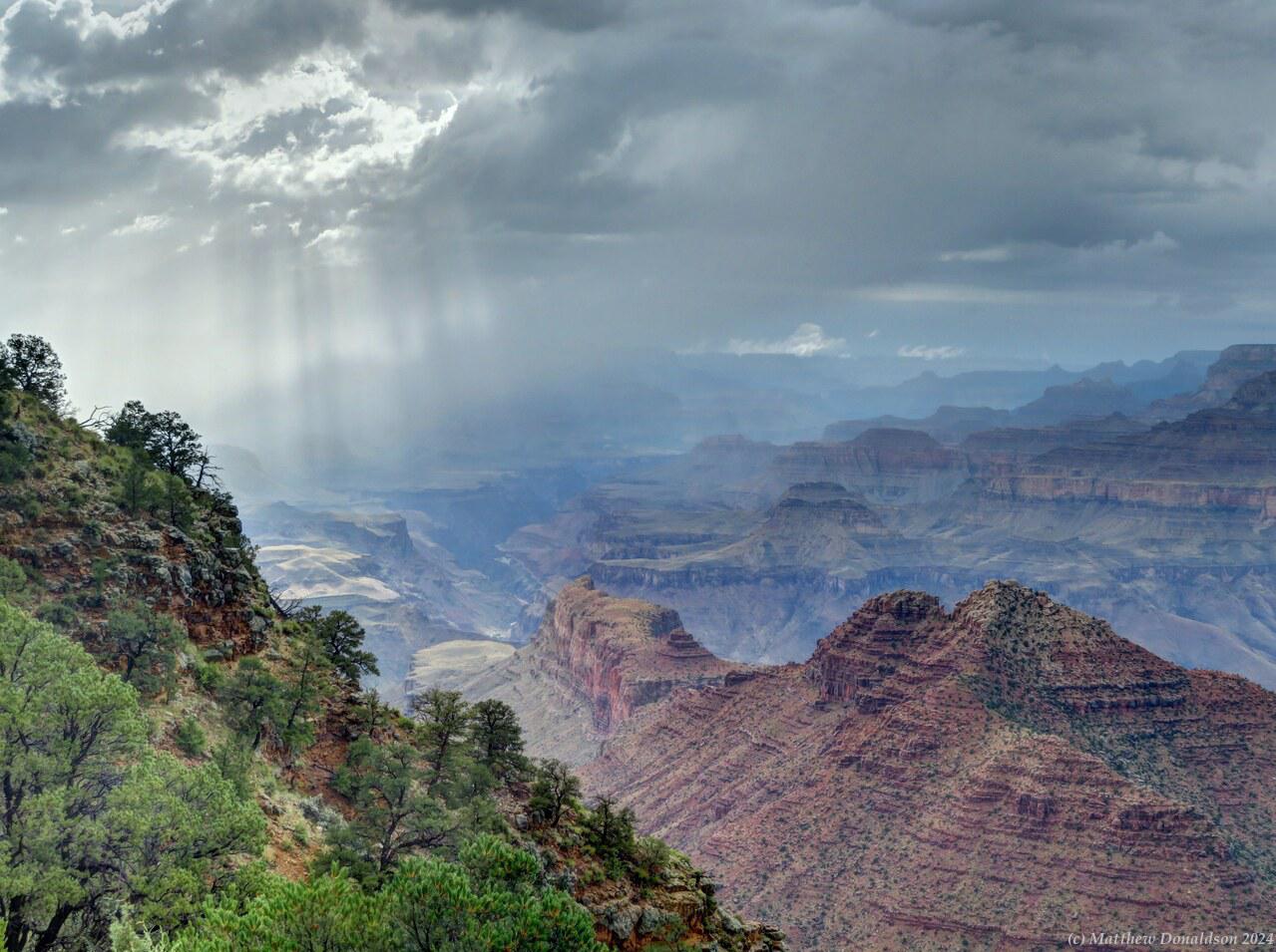
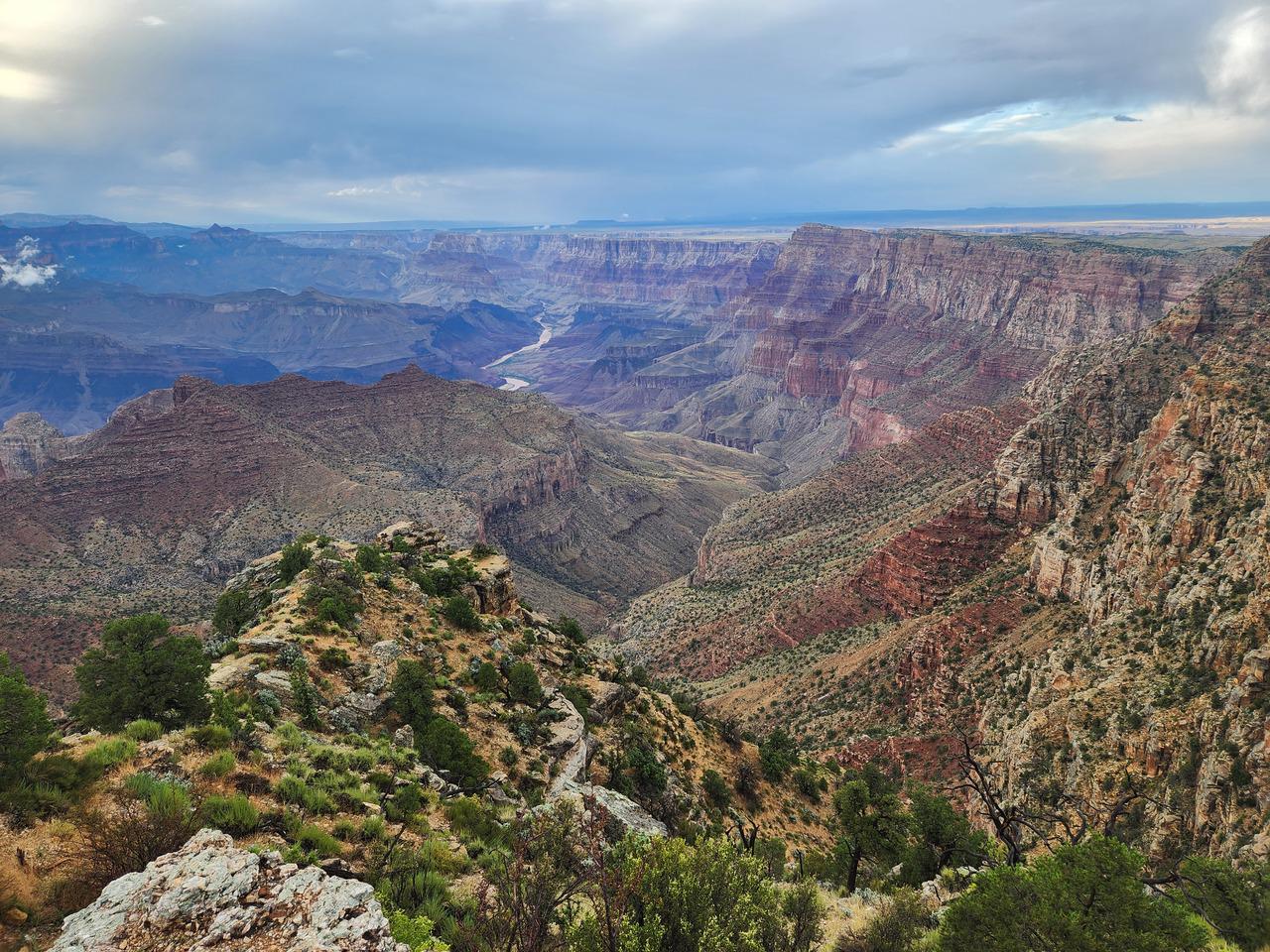
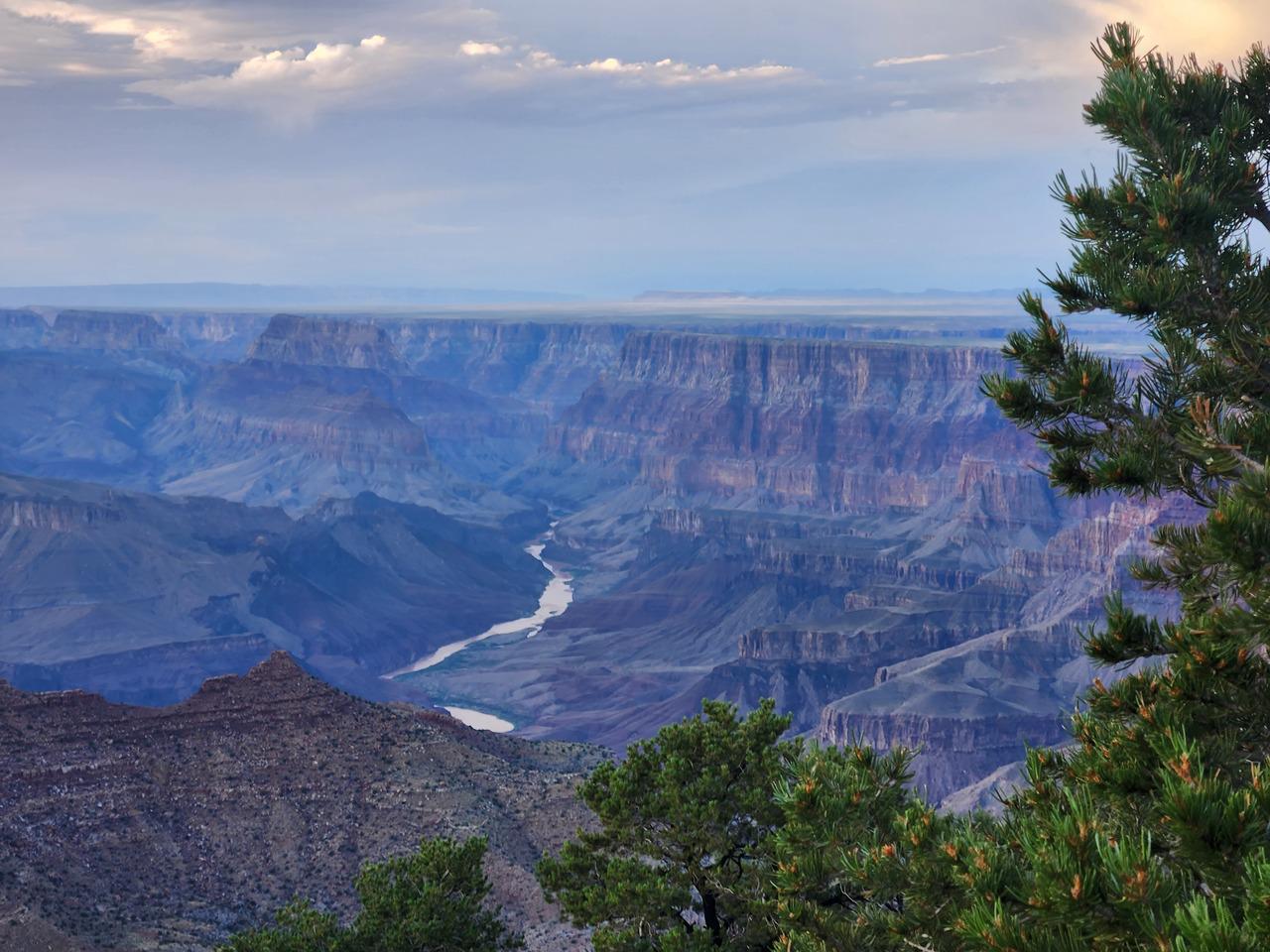
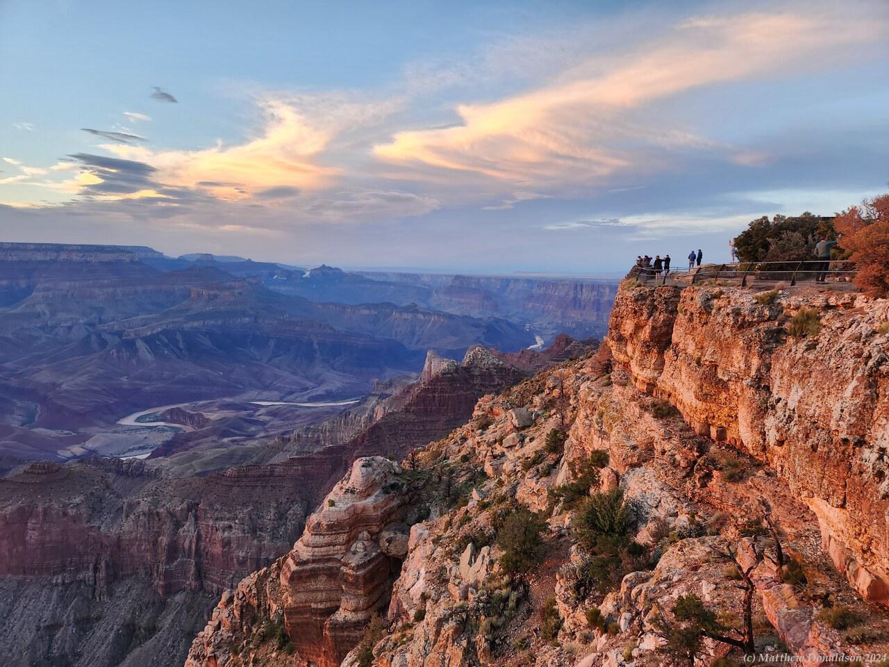
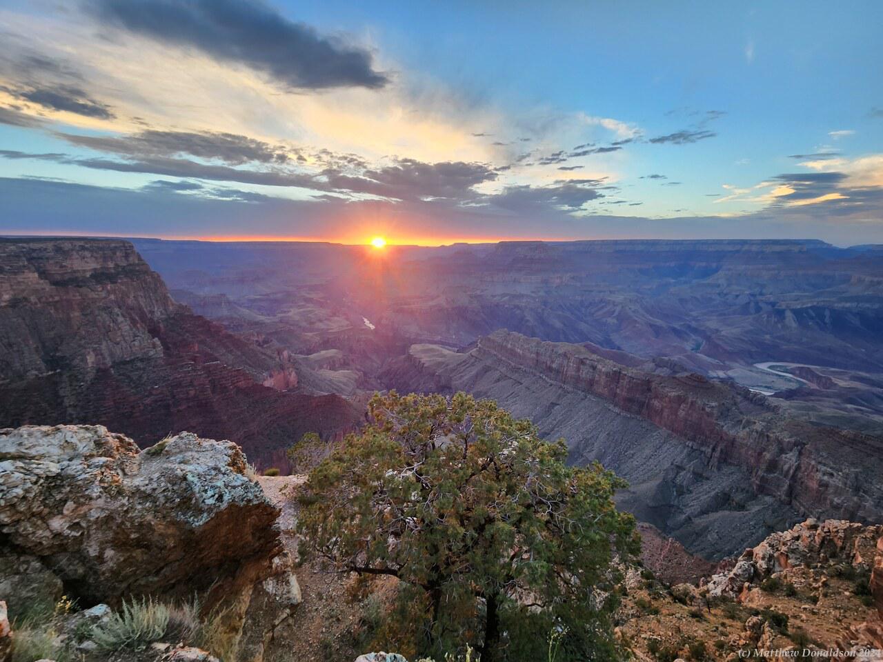
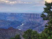
Red Rock Canyon  Morning Light on the Grand Canyon

Red Rock Canyon  Red Rock Canyon

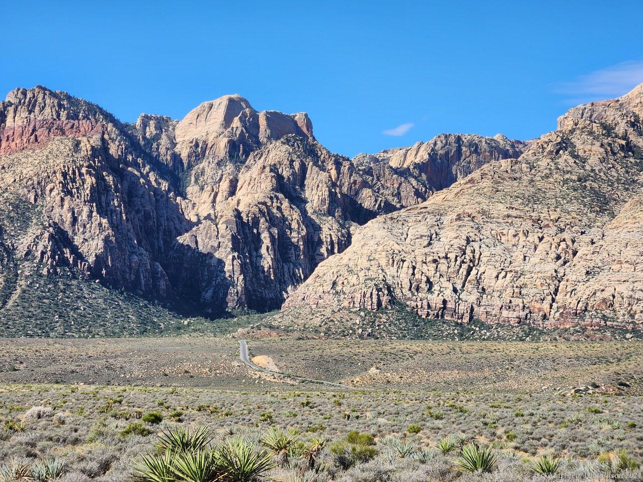
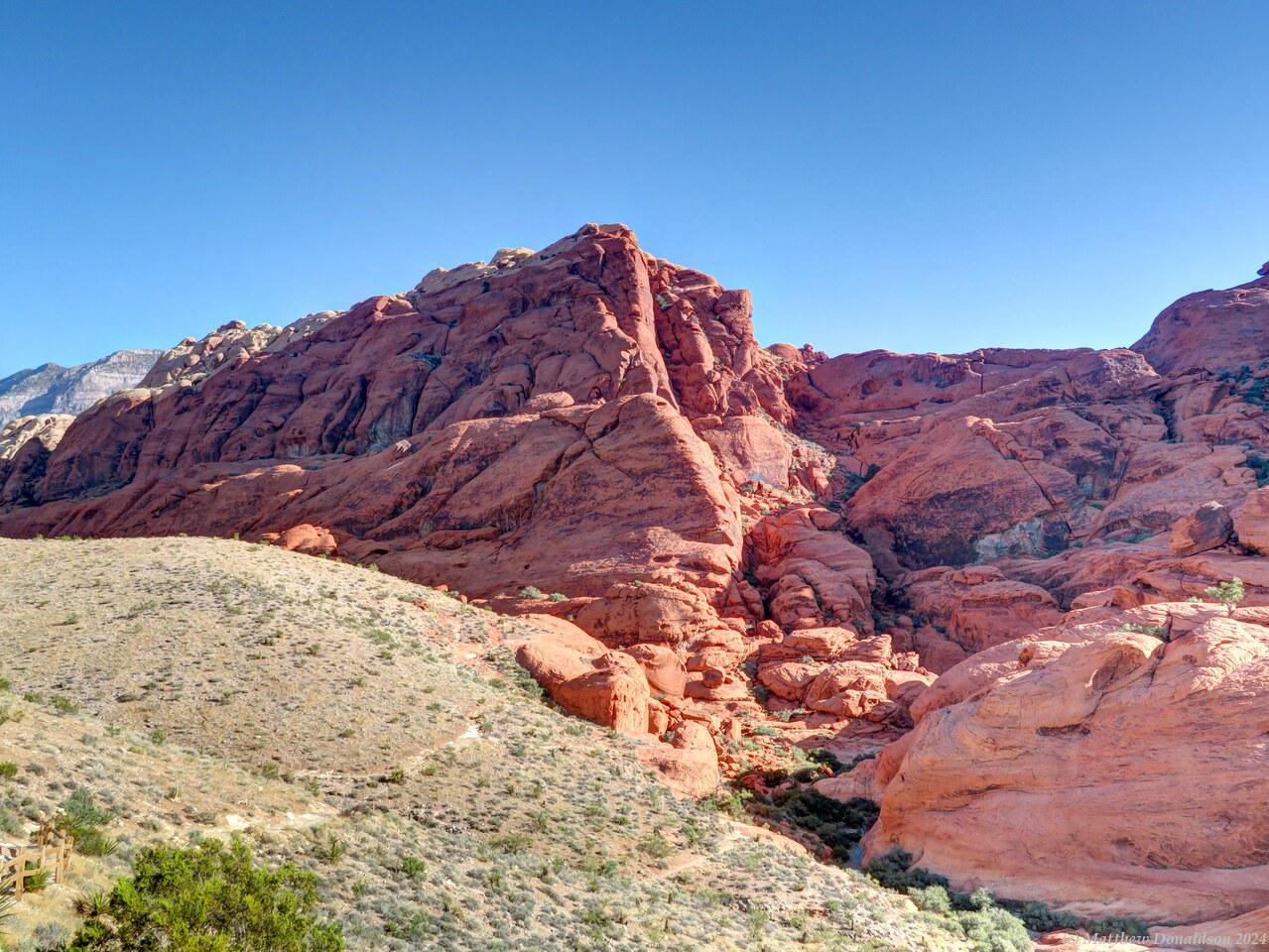
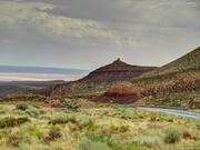
My first stop at about 8am was Red Rock Canyon, not far out of Las Vegas. There were some large coloured rock formations, which reminded me a little of the Flinders Ranges, but more colourful. There were signs warning about hiking when it was hot. It wasn't too bad early in the morning, and I just did a little hiking, and spent about an hour and a half in the park.

I was planning to go from there to my destination via a route that went to the east of Death Valley, then crossed over into California at Big Pine, but according to Google Maps, part of that route was closed, so it rerouted me along a longer route. I had planned to visit Bristlecombe Pine Forest, which was at 10,000 feet, and had the remains of apparently ancient pines, but that was on the other route which was closed.

One place I was avoiding was Death Valley. Though it looked interesting, I had been warned more than once about the dangers of going there in this season; the heat could be deadly. The Escape Campervan rules warned that if you drove there in the warm months and broke down, you would be on your own, and responsible for any damage and charges!
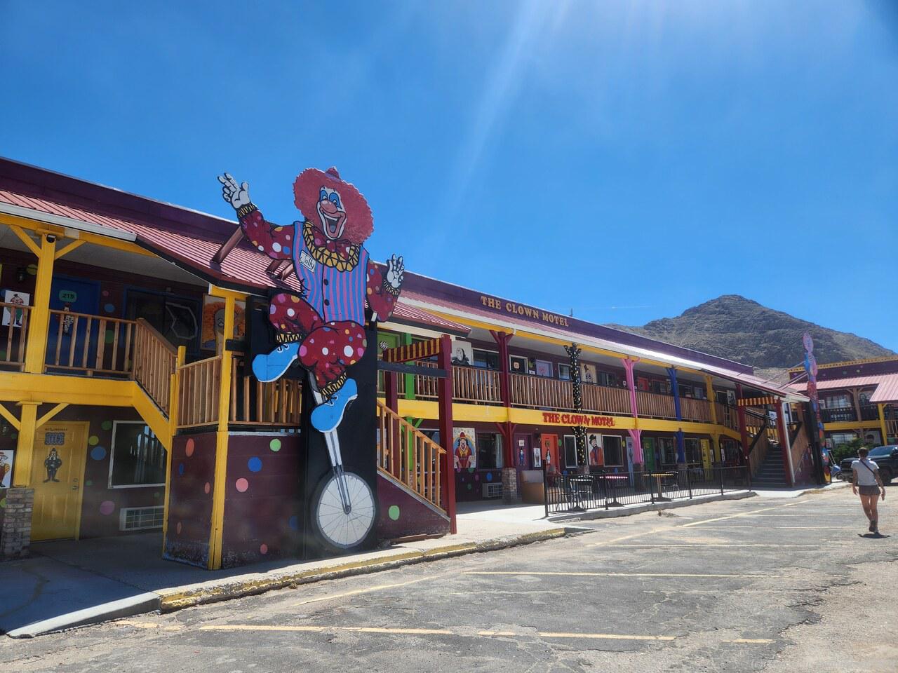
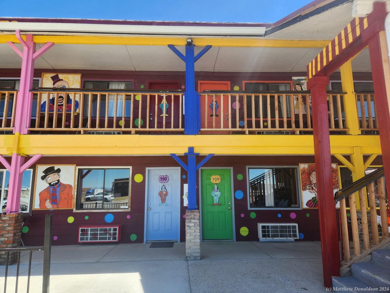
Clown Motel  Clown Motel

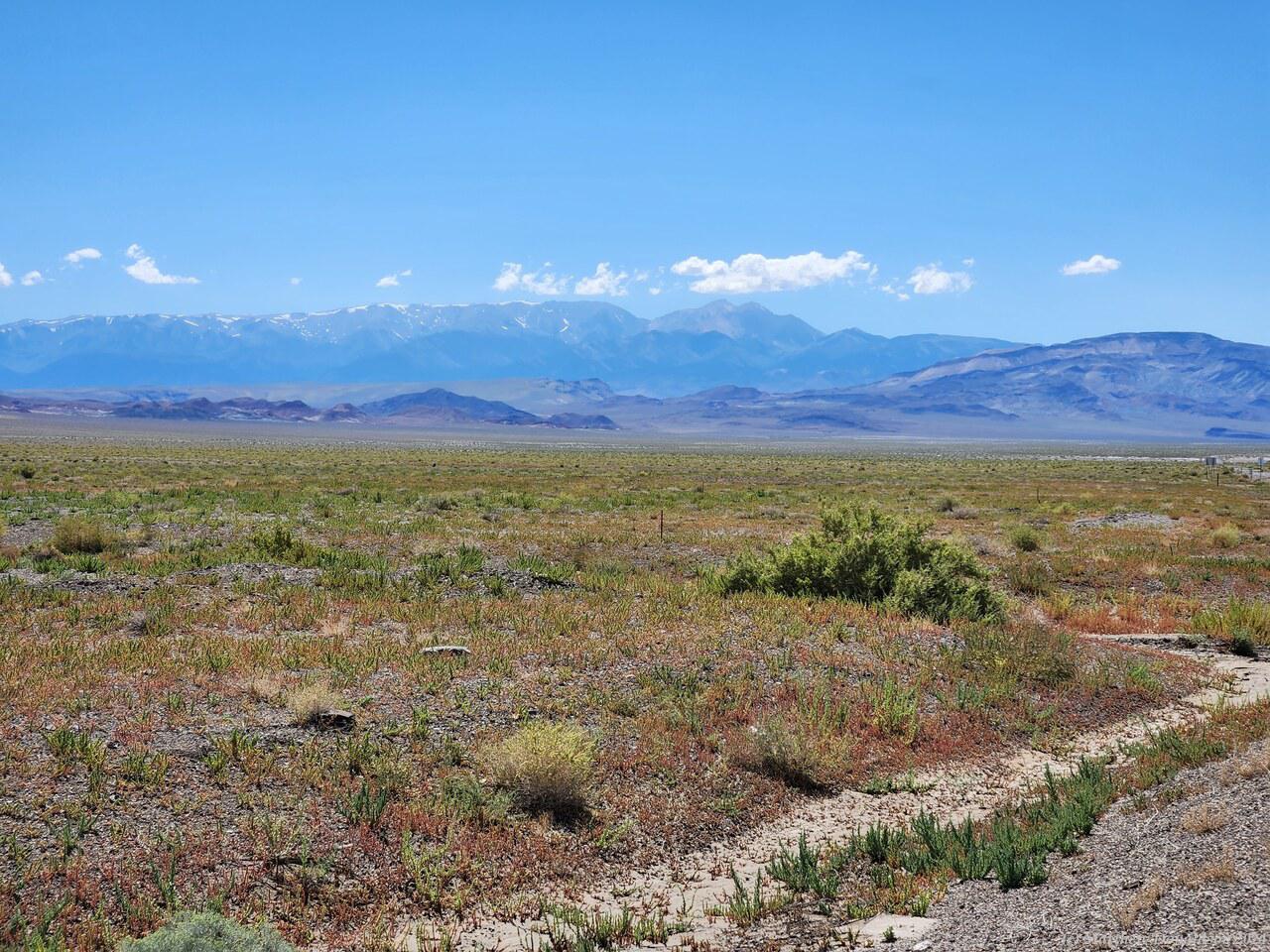
The route that Google chose started with about four hours driving through mostly desert or land with just some low bushes, surrounded by weird hills that were just rock, no vegetation on them at all. This section of road had been described as one of the most remote in America, but whoever thought that hadn’t seen remote Australian roads! There was quite a bit of traffic around at times, which banked up behind slow vehicles now and then until there was a passing lane (there was too much traffic coming the other way sometimes for anyone to pass) and a few small towns.

At the northernmost part of that section, as the road started to climb into the hills, was a town called Tonopah, which had the Clown Motel, which was apparently quite famous. Everything was clown themed, garishly painted, with pictures of clowns everywhere. I found a spot near the motel to park and make some lunch about 1.30, in a parking lot next to a building that looked as though it had been abandoned.

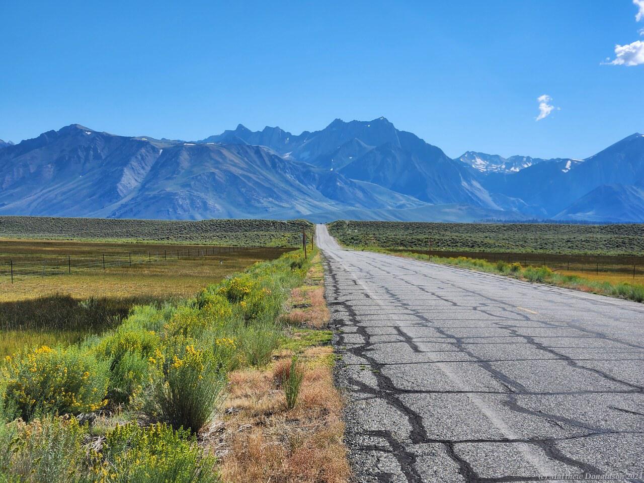
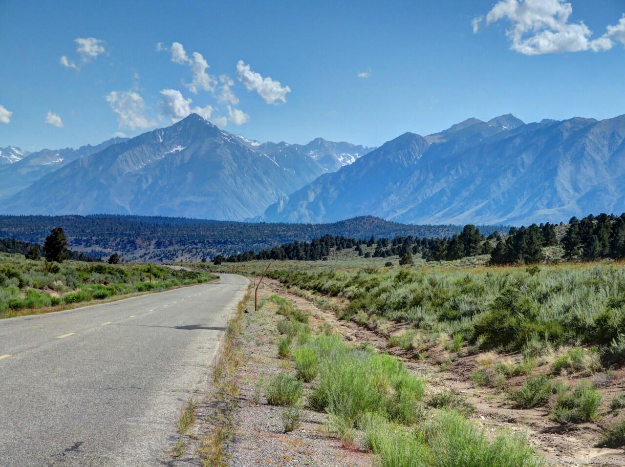
California Mountains  California Montains

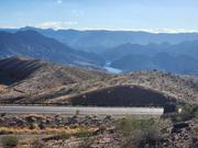
This was the first time I’d made lunch on the trip, which I did most days after that while I had the van. I decided to cook up some instant soup, but most of the time I just made a sandwich, which was easier. It was a bit windy, and I found that the stove didn't work very well in the wind, with the heat being blown away, so it took a while to heat. After lunch the road really started climbing, and toward the end I took a small road across a fairly flat, quite high area, before joining the main highway that I’d had to detour around. The landscape had become lush – lakes, green fields, trees, all very beautiful. What wasn't beautiful was the fuel price!

Petrol (or "gas") was something like $3.90 a gallon in Arizona, and $4.50 in Nevada. I assume they had more taxes on it. So I after filling in Las Vegas I thought I would hold off fuelling again till I got into California where (I thought!) it would be cheaper again. Having got to Mammoth Lakes where I was to camp, I nearly fell over seeing the price was around $5.60 a gallon! It didn’t look like it was going to get any cheaper going into Yosemite, so I bit the bullet and fuelled up there.

I think it may have been here that I just couldn’t get the pump to work. I put the nozzle in and kept squeezing the trigger, but it kept on clicking. A helpful person nearby told me that in California they had shrouds over the nozzles to avoid gasses escaping, and some kind of button in the nozzle that pressed down when you had it close enough to the car, and sometimes it took a bit of jiggling to make it work!

Mammoth Lakes  Mammoth Lakes

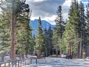
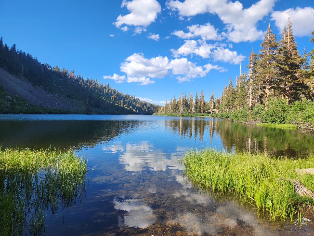
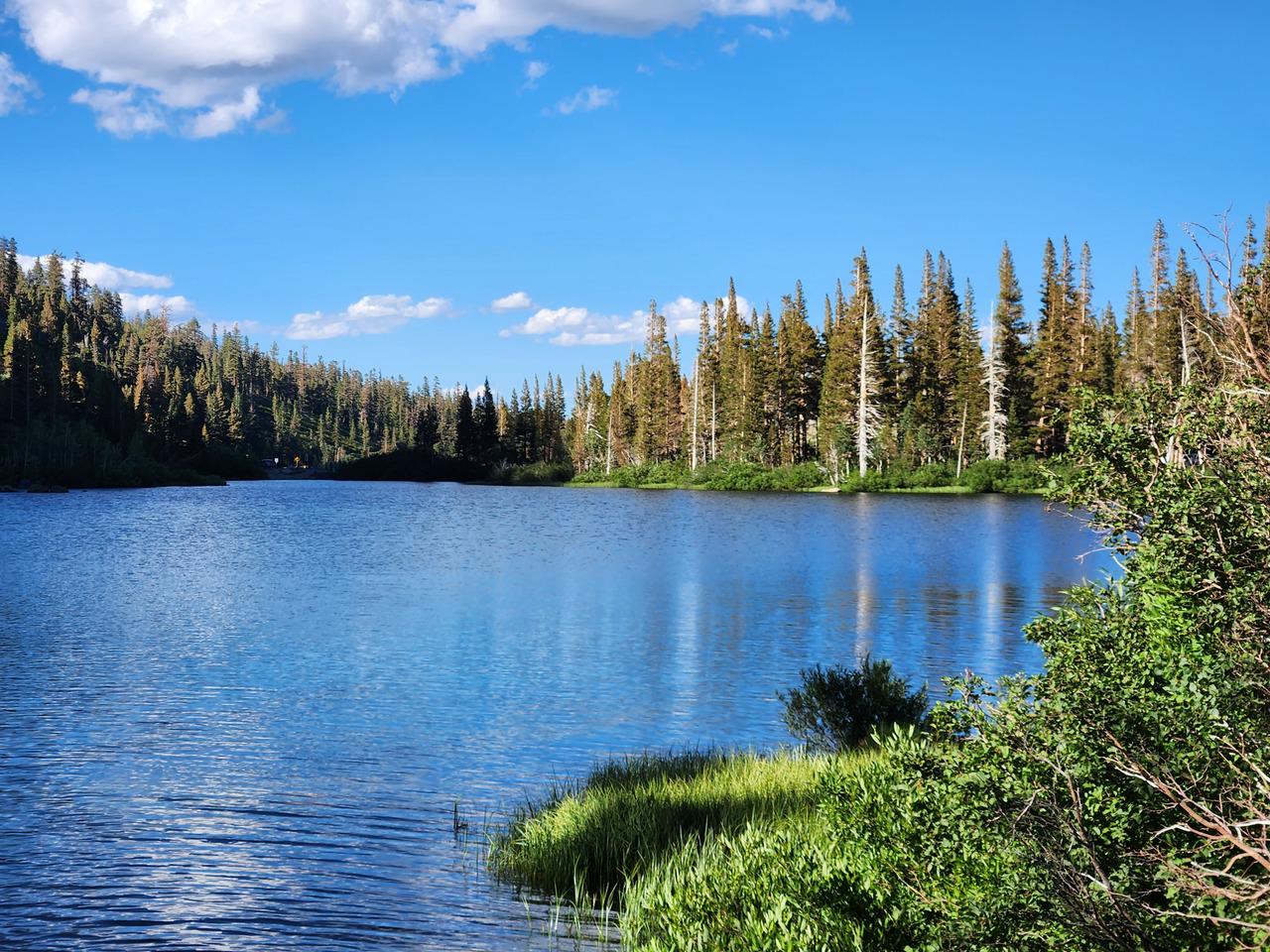
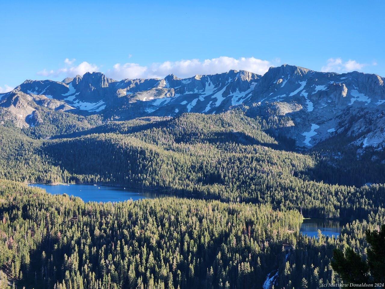
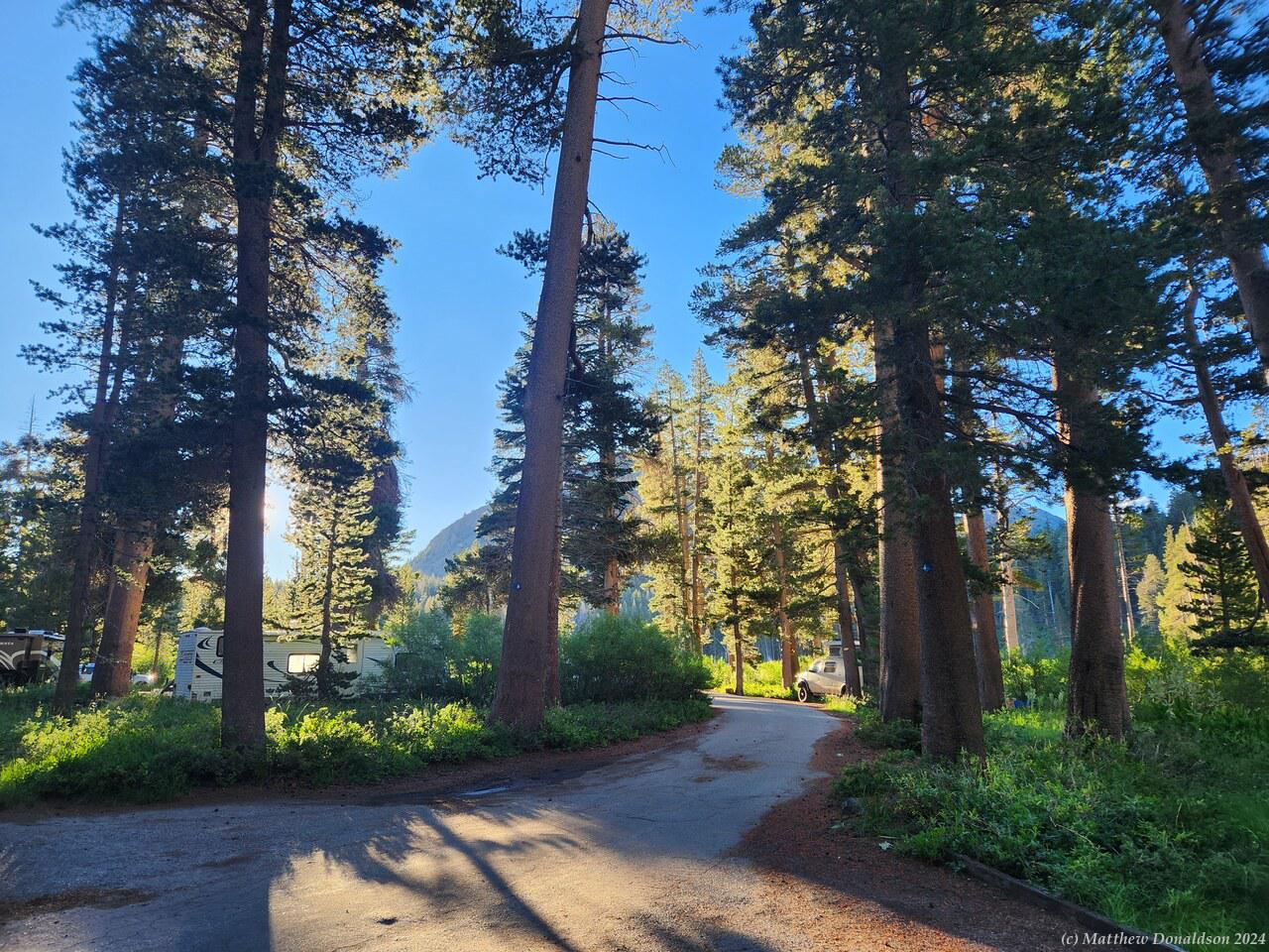
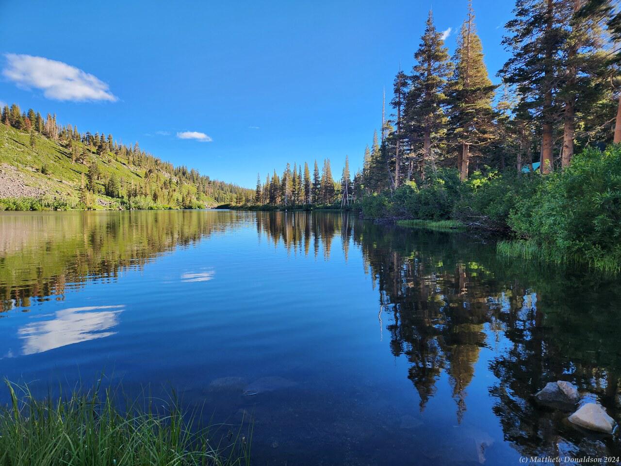
I drove a few kilometres from the town of Mammoth Lakes to the Twin Lakes park and campground a bit before five. As I drove through the park looking for the campground itself, I went by a store, and one of the lakes, which was beautiful. I got out and had a bit of a walk around, then kept driving on till I found the campground. The camp host was very friendly, and spoke about how much there was to see in the area. I had planned it just as a stopover on the way to Yosemite, but it was a great destination in itself.

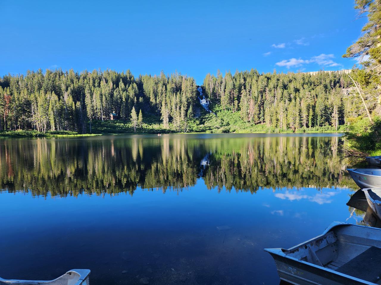
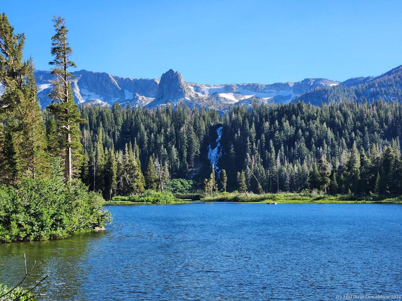
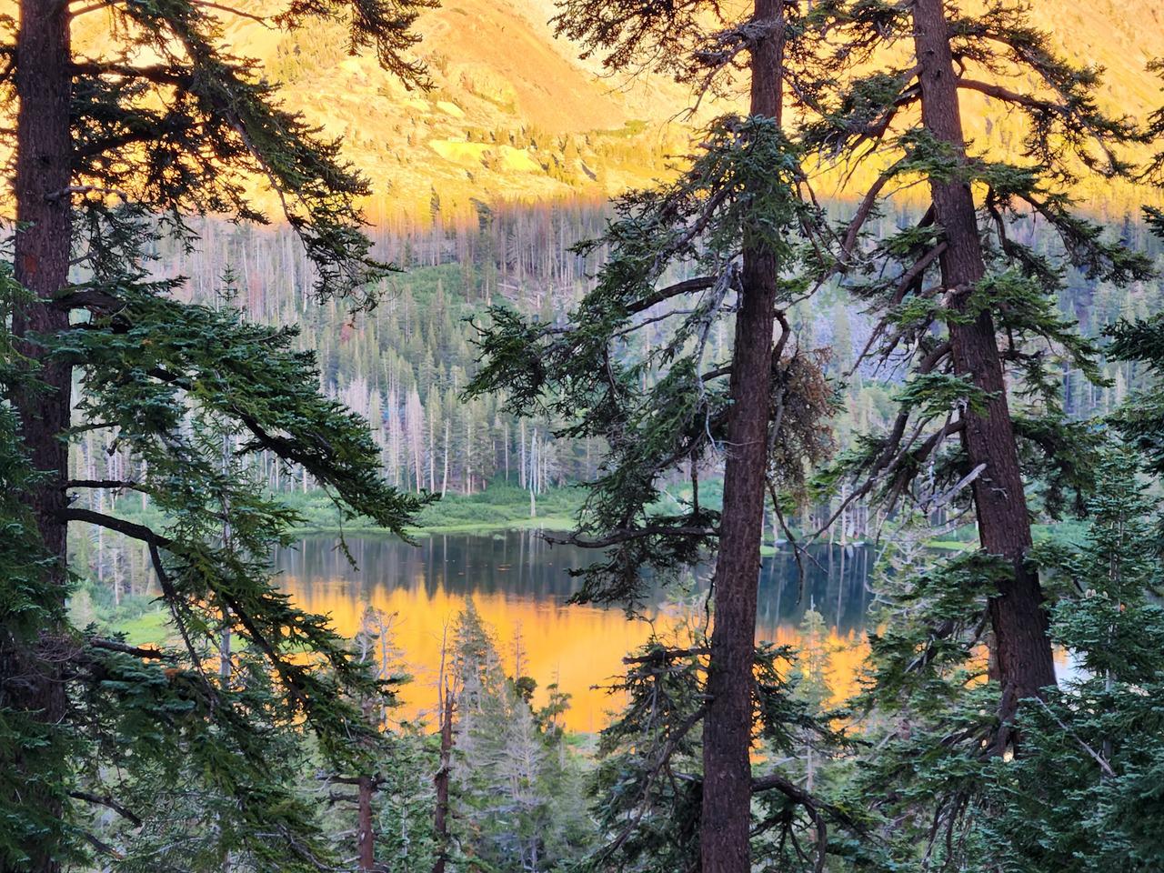
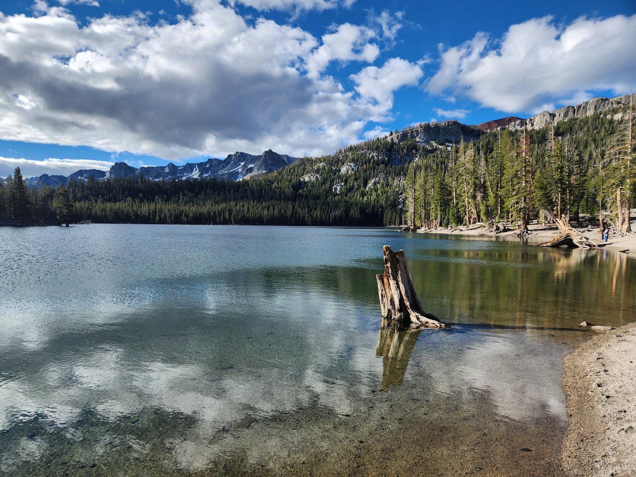
He encouraged me to come again another time, and said there was often space for vans the size I had (which he presumably saw as small compared to some of the big rigs that came through). He also told me that the campground was at around 8,200 feet (2,500m), which is higher than anything in Australia. It was a beautiful place, with several lakes nearby, mountains with patches of snow on them, and the continual sound of a large waterfall. The down side: mosquitoes! They were absolutely everywhere!

I had a hike marked out that I thought would be good, but it was something like 15 minutes drive from the campground, and I found that once I had manoeuvred the van into my camp site, I didn’t really feel like driving around more and then coming back and parking again. Over time I did get better at backing into the campsites though.

Mammoth Lakes Hike  Mammoth Lakes Hike

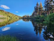
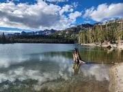
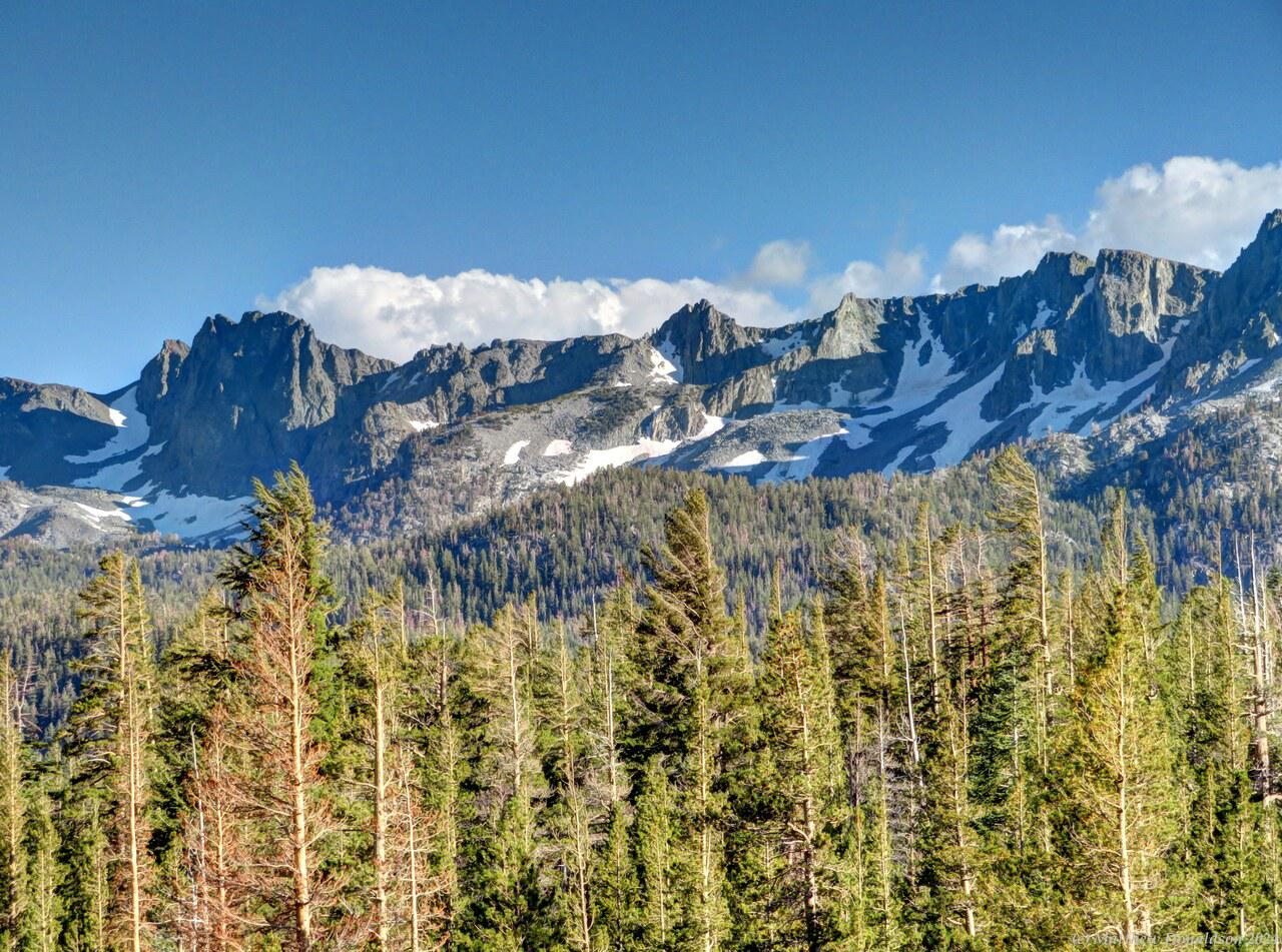
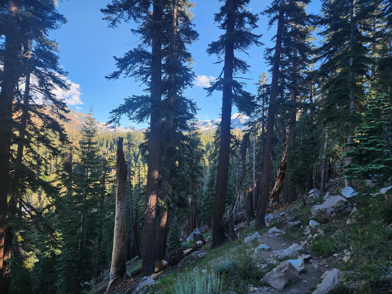
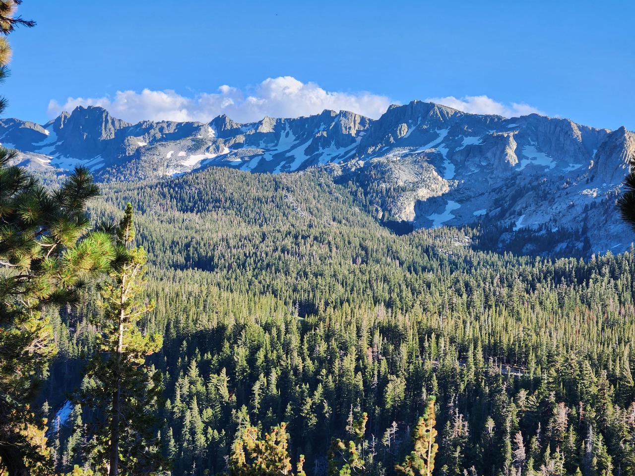
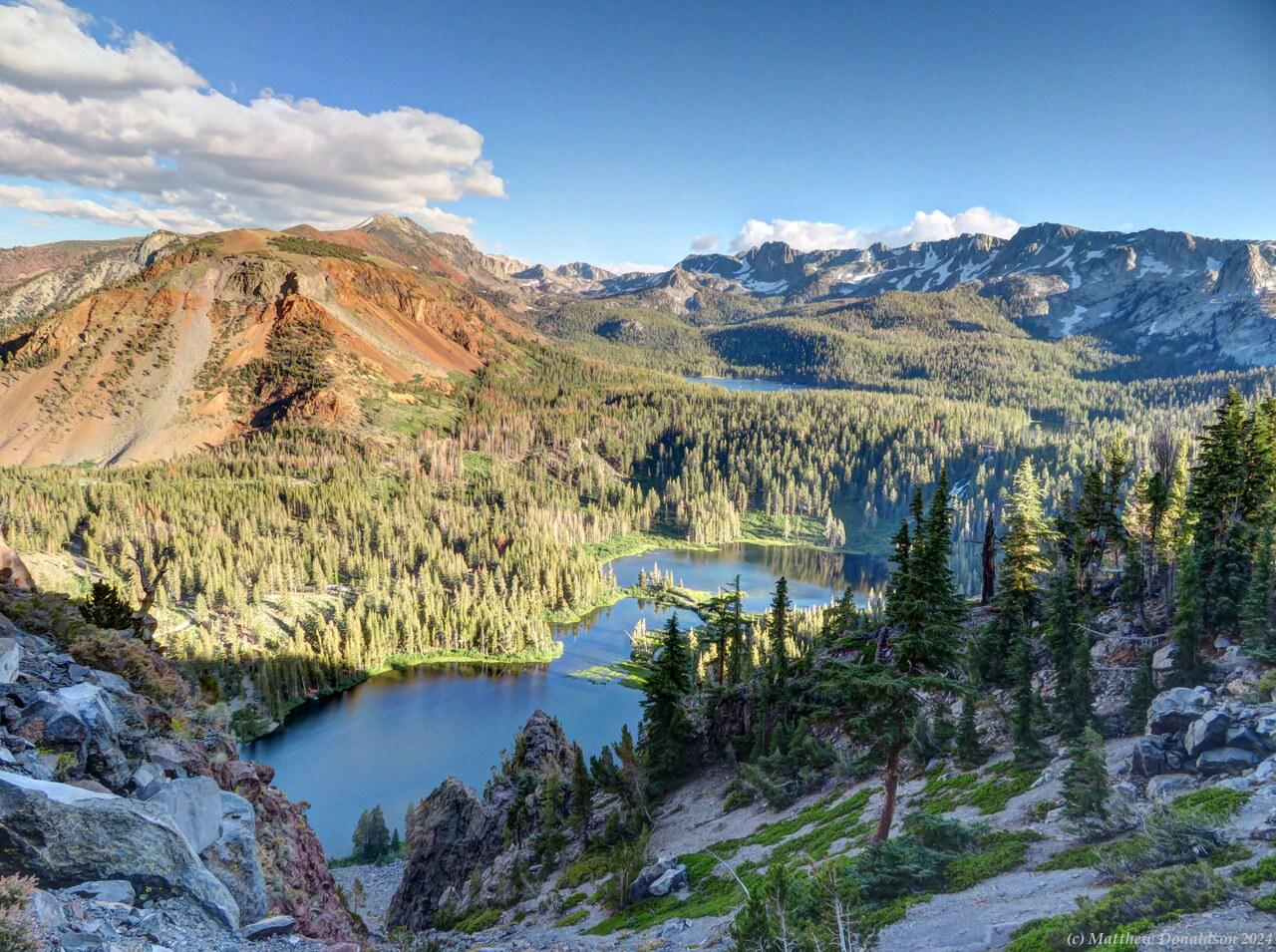
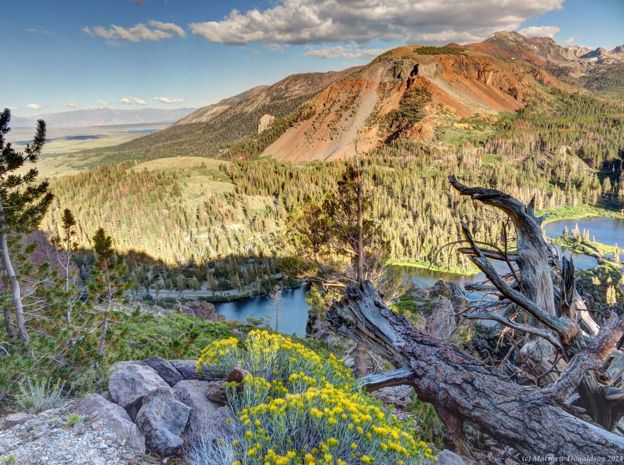
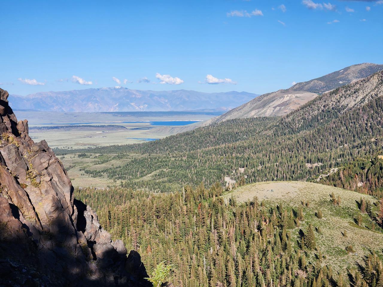
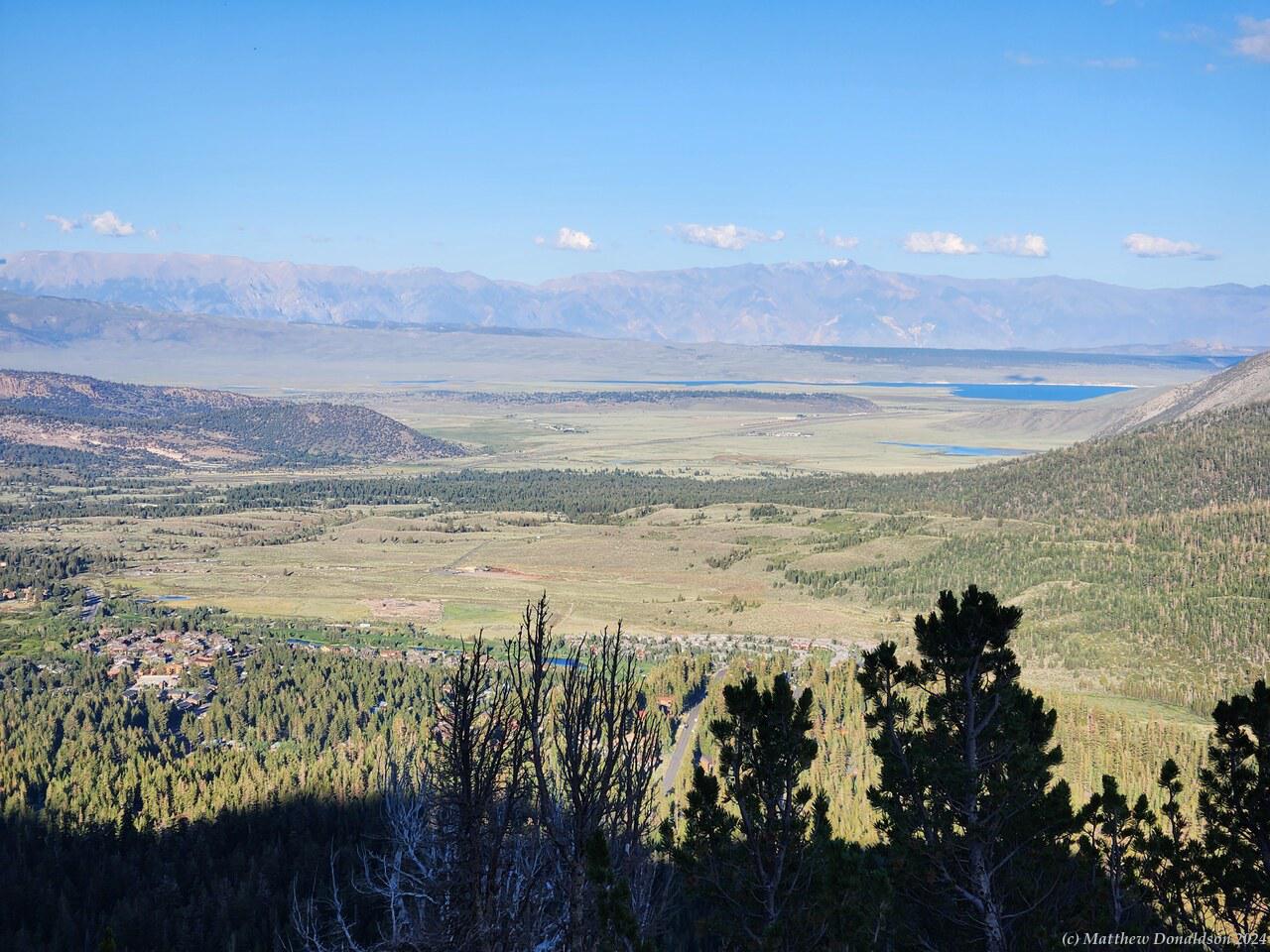
So after finding my spot, I went off for a hike the camp host recommended, starting just a little walk from where I was, up the side of the valley we were in. As I went up I definitely noticed the altitude, and had to stop and get my breath more often. I made it to around 9,500 feet (2,800m) before heading back. There was a point with a fabulous view where I could see seven different lakes. It really was a very picturesque area, with the mountains with some snow on them, the lakes and the forests.

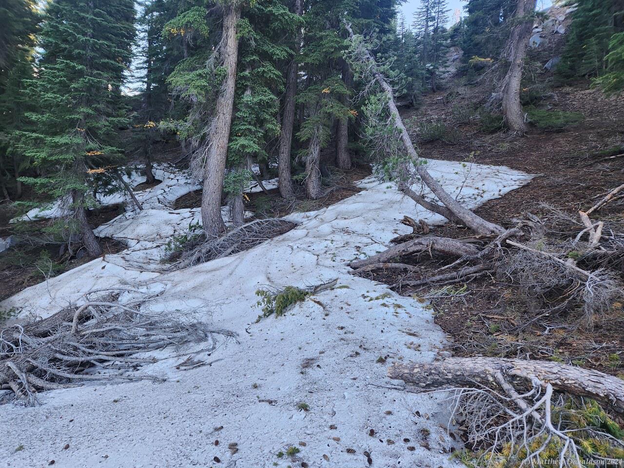
As I was near the top of the hike, I noticed rather large dirty white patches around, and I was wondering if they were granite or something, until I realised they were snow! There was quite a bit of snow visible in the distance on some of the other mountains around too. I was surprised to find snow there in August. It was pretty hard, and felt more like ice than snow, but it looked more like snow.

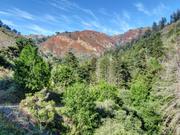
Mammoth Lakes Hike  Mammoth Lakes Campground

By the time I got back around sunset, it was much cooler and the mosquitoes had pretty much given up, so I was able to make dinner in peace. The camp host had warned about a bear which had been doing the rounds recently. Apparently it had scared the daylights out of some foreign tourists, putting its paws up against their van and looking inside. So he advised to keep doors locked.

For some reason I had thought about keeping them locked while away from the van, not while inside. So after dinner I was lying on the bed inside with a lamp going, when I heard a commotion, then the van rocked back and forth, and when I looked out, the driver's side door was open! It must have been the bear!

I panicked a bit because I wondered if I had a bear inside now, or it if would come inside. Thankfully no bear! I think the bear must have opened the door, not found any food, or been discouraged seeing it was occupied, then put its paws against the side of the van to look inside, then gone on. It was quite an experience! I had a site on the edge of the campground, so my van may have been one of the bear’s first ports of call for the night.

I had a quiet evening after that, which was welcome. I was glad of no more bear sightings.

Image Gallery

Tuesday August 22nd

Route for the day

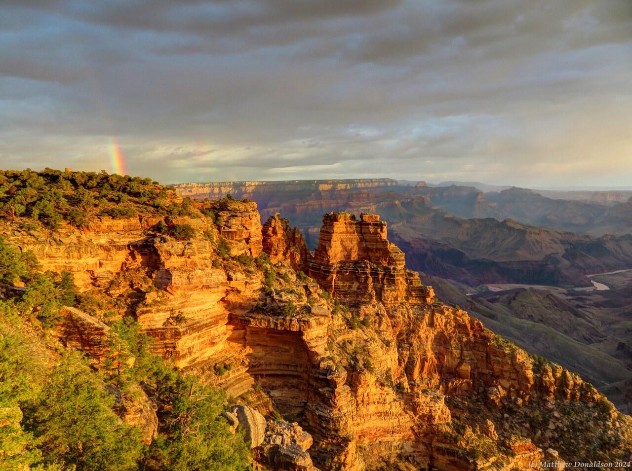
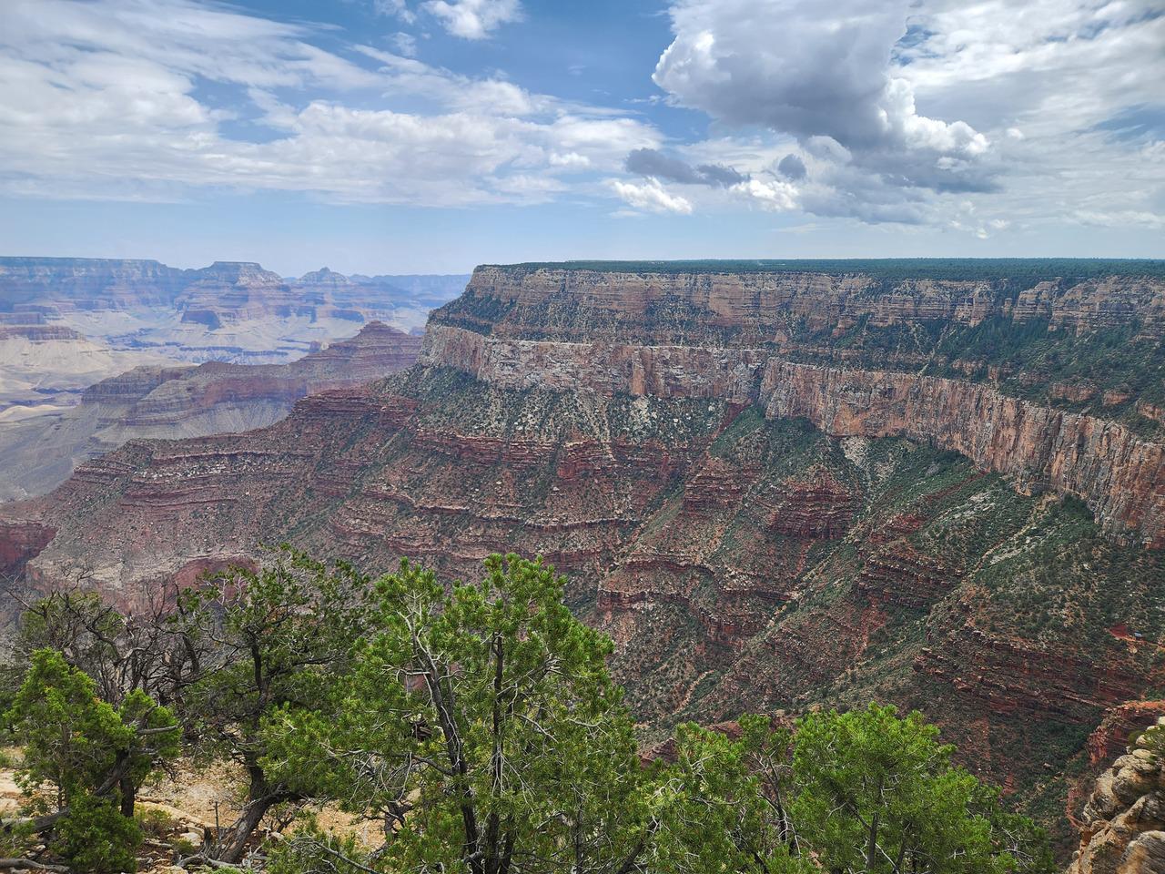
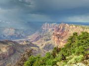
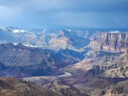
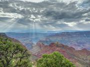
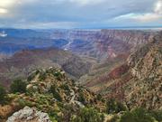
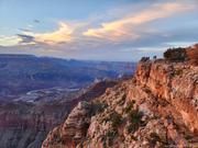
After getting organised (not my strength!), I walked to the edge of the canyon again. I was slow in getting ready, and just missed the sunrise but the colours were beautiful with the rising sun shining on the rocks. It was pretty cloudy but there was a bit of a crack in the clouds that the sun shone through, thank you Lord!

Morning Light on the Grand Canyon  Morning Light on the Grand Canyon

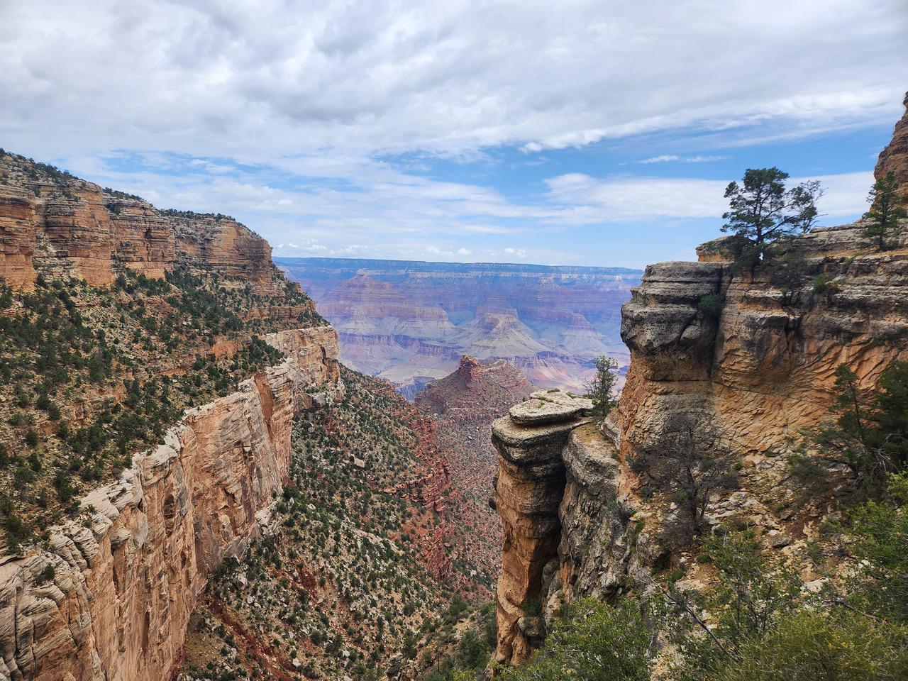
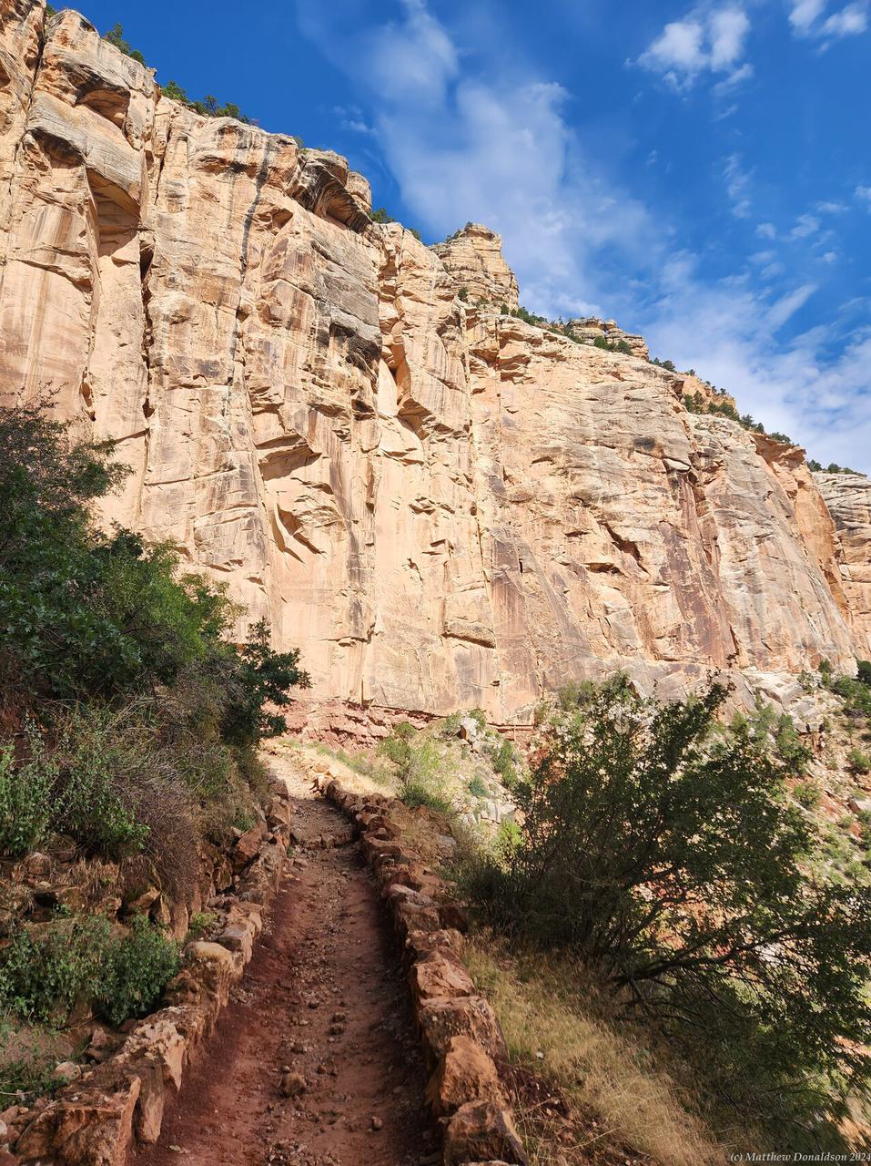
I had intended to do a four hour hike into the Canyon on the Bright Angel Trail, but I seemed to end up spending far more time finding things and getting prepared than I expected, and so with a couple of stops along the 40 minute drive to the hike, it was about 8.30 or 9 by the time I got there. The car park for the trail was fairly full, and I had read that parking spots there were in high demand, but I found a spot. I wanted to leave the canyon by 1, and I wasn't sure how much longer it would be to hike up out of the Canyon than it was to go into it, so I just hiked for about three quarters of an hour downwards.

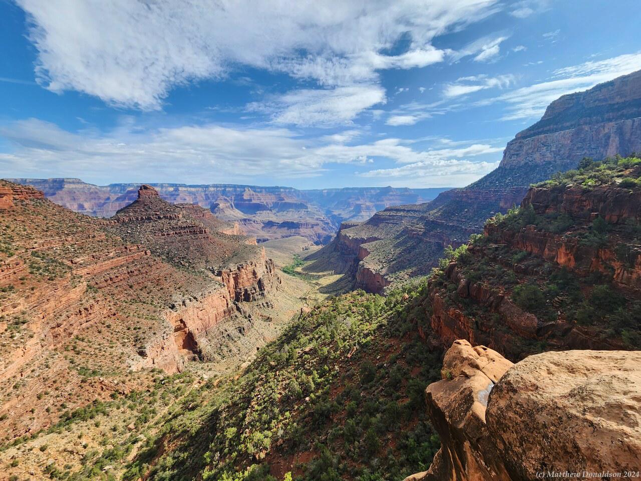
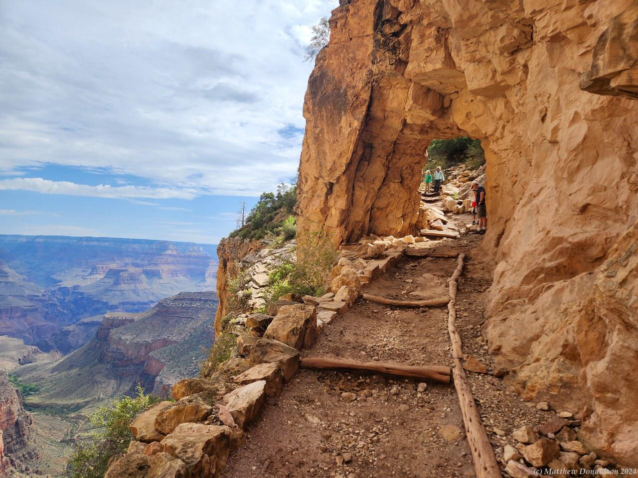
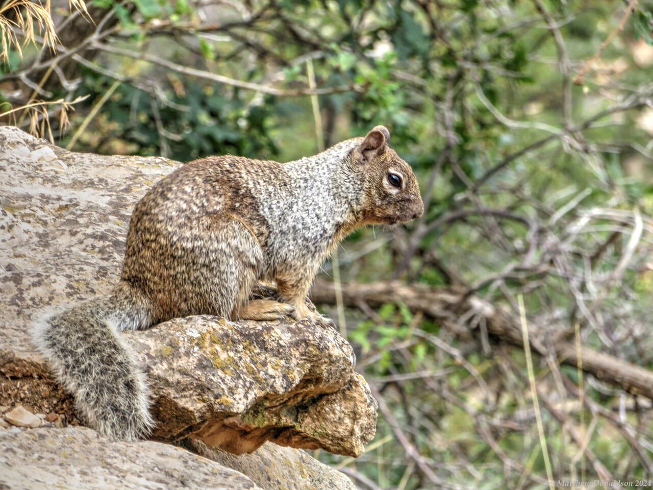
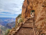
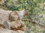
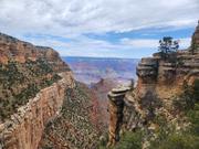
The trail wound down alongside high rock faces, with sweeping views. I saw my first squirrel along the track, and took photos of it. Seeing squirrels would become a very commonplace occurrence! There were stairs in a lot of places, and warning signs about not going so far down that you couldn’t get up again, including one with a graphic of someone being sick. There were water fountains in a few places on the trail. I passed one of them, but I had taken enough water for the distance I was going.

Bright Angel Trail  Bright Angel Trail

The trail was also used by trains of mules, to deliver supplies, I guess to campgrounds at the bottom, and though I didn’t pass any of the mules, I saw a train of them a long way down, and was continually reminded of them, coming across their exhaust! The clouds had cleared a fair bit by this time, and it was fairly sunny, but not too hot. I could see where the trail wound a long way down in the distance.
I got back out of the canyon unexpectedly quickly, so I went looking for the shuttle bus that went along a route to the west with quite a few scenic spots that you could otherwise only walk to. There was a road, but people weren’t allowed to drive along it, only buses and bikes. I stayed parked where I was as the bus stop was supposed to be fairly close, and I wasn’t sure if I would find parking elsewhere.

The spot the map suggested the bus stop was didn't seem to be where it really was. I ran into a group who were also trying to find it, and we discovered it together and had a nice chat, they were from Germany. It turned out though that there were huge queues waiting for the bus, and after a couple of buses came, filled up and left, and time was passing, and we were still nowhere near the front of the line, I decided to just hike to a couple of the spots.

Squirrel on the Trail  Western Grand Canyon

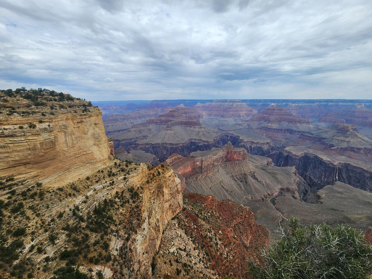
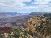
The camp host had mentioned a place called the Abyss where you could look down 4,000 feet. That was too far to hike to in the time I had, so I hiked to the first scenic view, then a shuttle bus was coming to a bus stop there just as I was ready to leave, so I hopped on and got to the next stop, then walked back both stops. It was a great hike, right along the edge of the canyon, with plenty of views. I made my way back to the car park, and got going again.

From the Canyon I was to head to Nevada, to Boulder Beach campground at Lake Mead, which is what the Hoover Dam is built on. I made my way down from the mountains. Someone had recommended trying a bison burger, so I was looking for a place that would have one. I got to the little town of Tusayan not far from the canyon and had turned into a parking lot looking for a place to eat. I didn’t find what I was looking for, and when I was exiting, I somehow thought I could turn left and headed to do the turn across the lanes of traffic. I got onto the road before finding that there there wasn't a gap in the median strip to get to the other side, and ending up pointing the wrong way on the left hand side of the road! I put on the hazard lights, and thankfully I was able to drive on the wrong side for a short way to somewhere I could cross over!
Route 66 Diner  A Real Chocolate Milkshake!

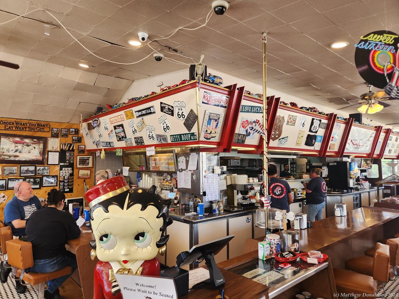
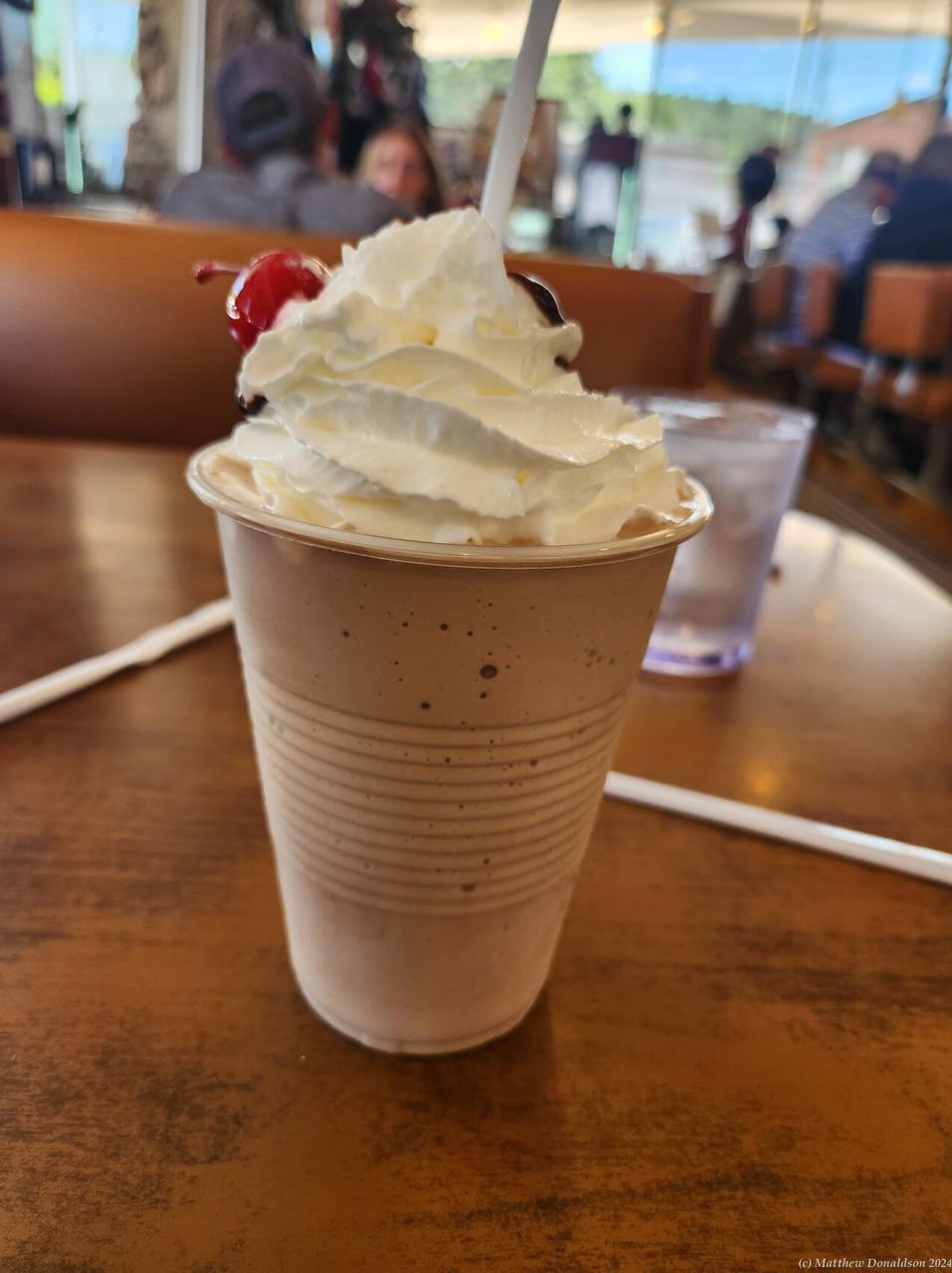
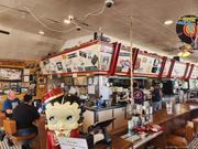
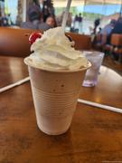
After a while the smaller road I was on joined I-40 heading west, and I ended up having lunch at a Route 66 themed Diner in a town called Williams not far from the turnoff (I travelled some of the way along the old Route 66), which was my first experience in a diner. The milkshake was topped with cream, and a cherry. They didn’t have bison burgers, but the meal was tasty.

I ran into more rain as I continued my journey, and I remember driving at 75mph (120km/h) with everyone else on the highway, around a curve, as the rain pelted down! The road wasn't crowded, though there were a good number of cars. As I headed down from the mountains I was greeted by a very different landscape. I was going back into the desert again as I descended, and instead of the 21 degrees that it was at the Canyon, it was sunny and getting into the mid to high 30s. That part of Arizona, and most of Nevada seemed to be mainly desert.

As I travelled, I passed a car going fairly slowly in the right lane, and then a little while later, I found myself passing it again, they must have sped up and passed me. This happened a third time, then the car whizzed on ahead well over the speed limit. When the car was almost out of sight and another car was about to block it from my view, the driver flashed the hazard lights. I have no idea what it was all about.

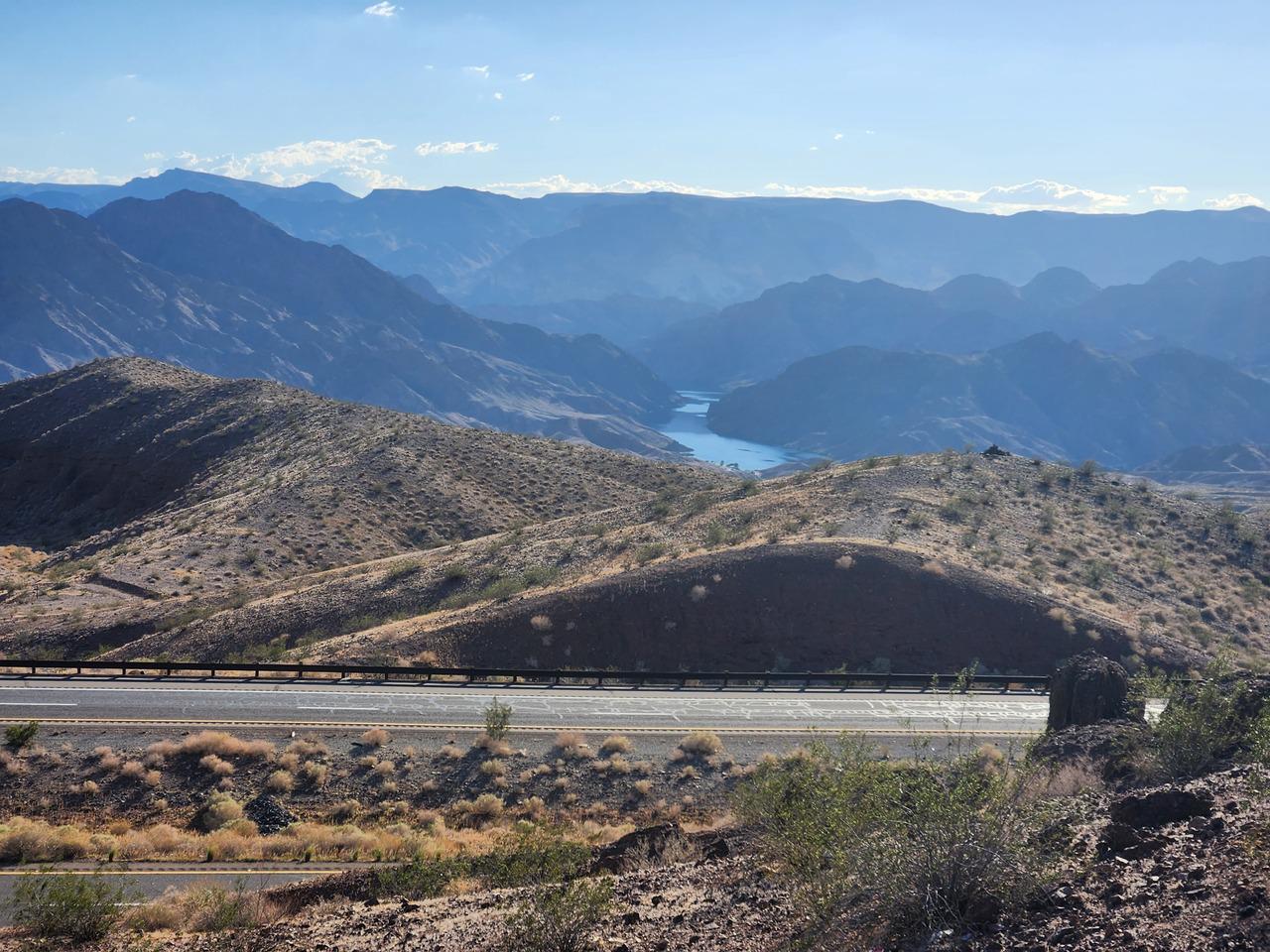
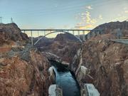
At the town of Kingman, I-40 went south, and I turned off north towards Las Vegas. As I was getting near my destination I found a lookout over the Hoover Dam, and some people who were also parked there asked me to take a photo of them. Not long afterwards I crossed a bridge over the Colorado River just as it exited from the dam, into Nevada. The river flowed through the dam, and was the border between Arizona and Nevada. This was my first encounter with the Colorado river, but by no means the last.

Nevada Landscape  View from My Campsite

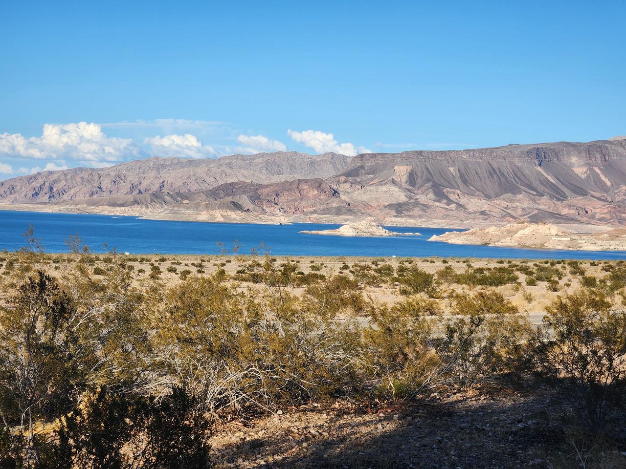
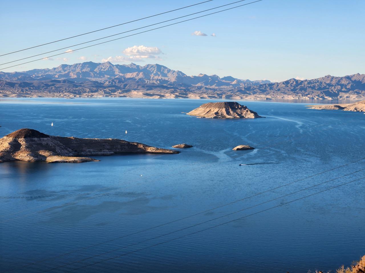
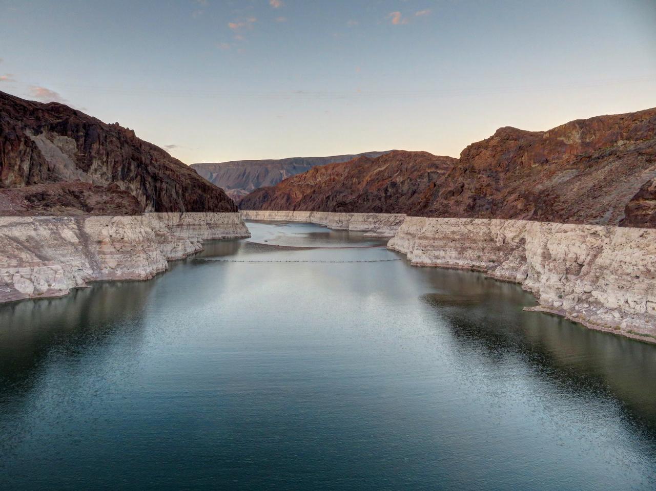
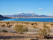
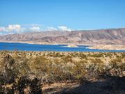
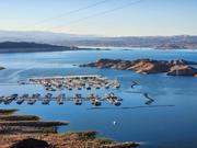
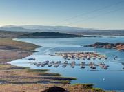
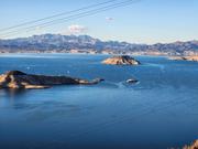
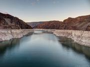
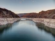
I took a turnoff from the highway, went through a checkpoint to get into Lake Mead National Recreation Area, using my National Parks pass again, and came to the campground, where it was still something like 36 degrees, even towards evening. I found my spot, which had a great view of the lake. I’d had my pick of the campsites when I’d booked months before, and was able to get one with a nice view. The lake was a strange place, with such a large body of water surrounded by desert, but had a beauty of its own.

It was only a bit after six and there was still a while before sunset, so I went to see the Hoover Dam which wasn't far away. To get in you had to go through a checkpoint where someone searched your vehicle. They did a very cursory look, I could have been hiding anything. Presumably I didn't look suspicious!

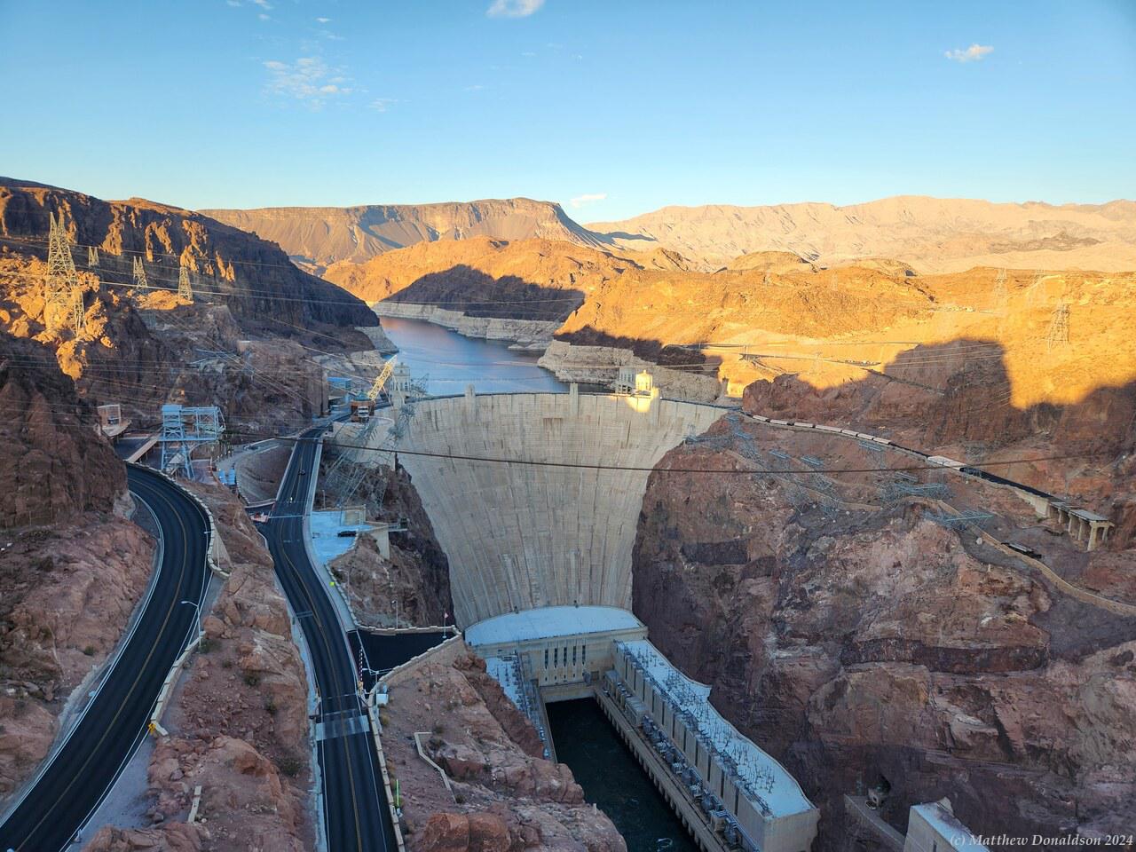
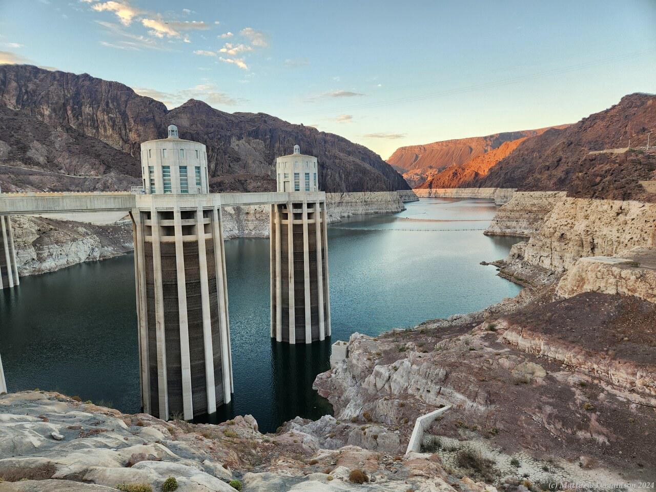
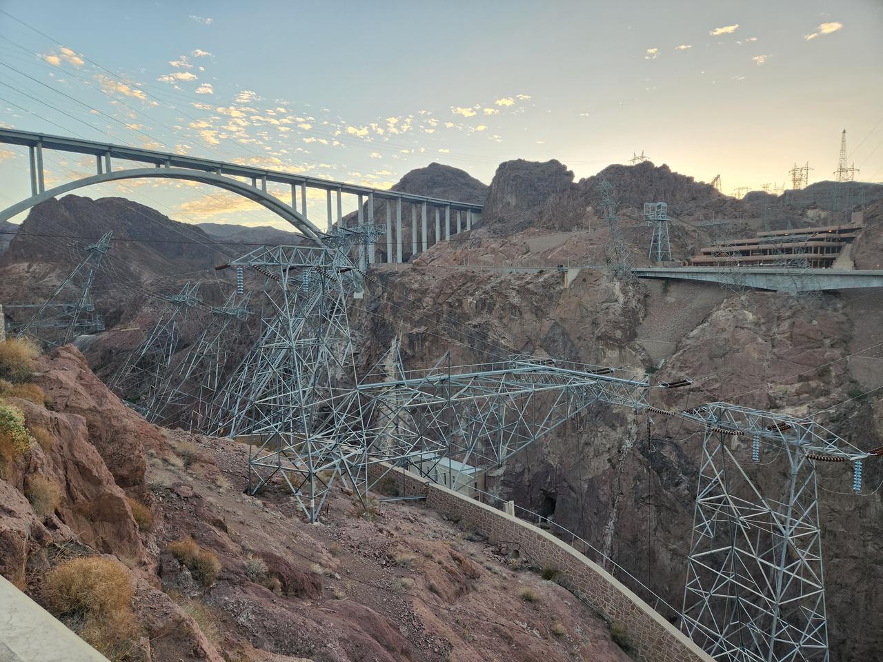
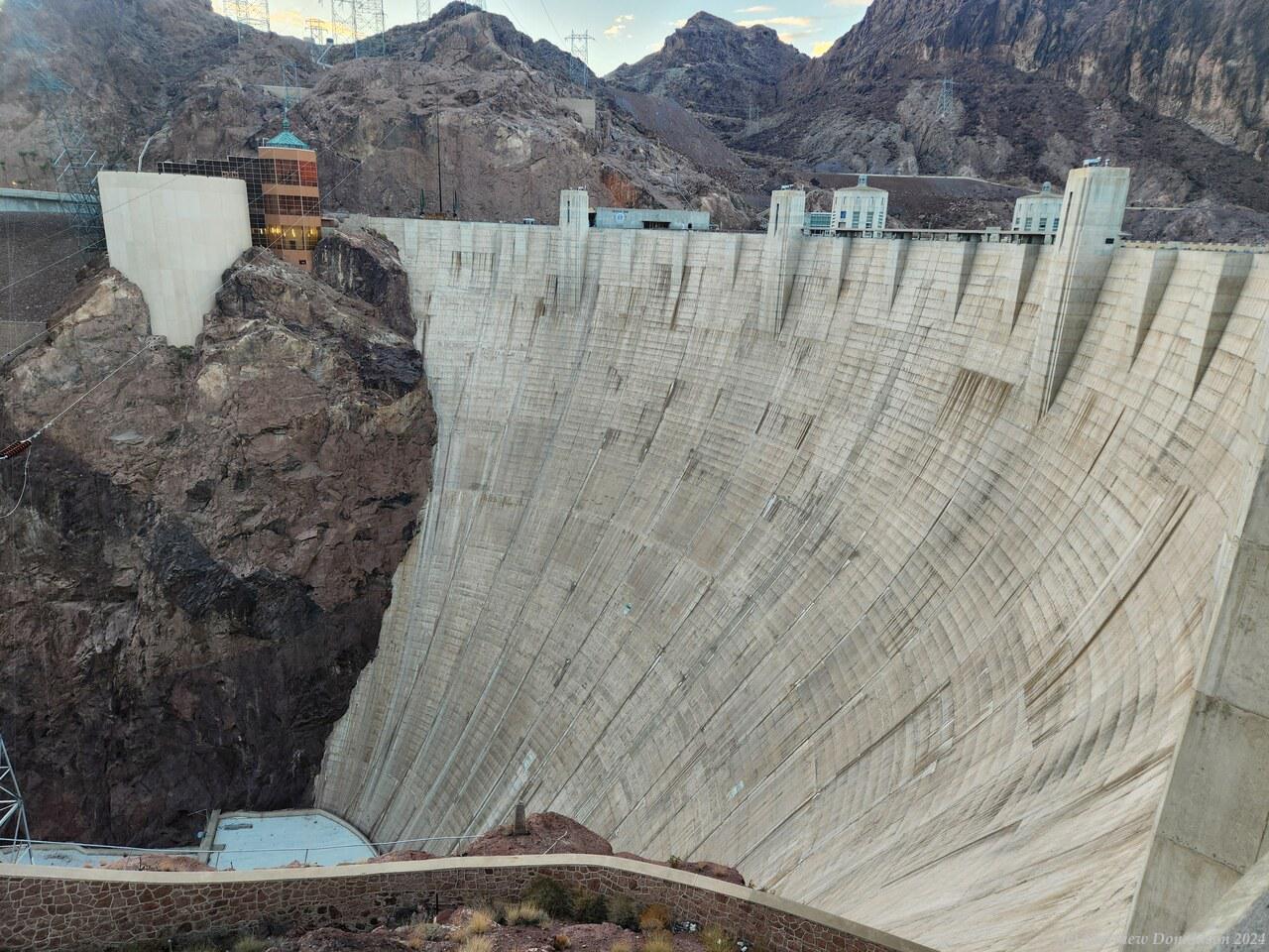
Hoover Dam  Hoover Dam

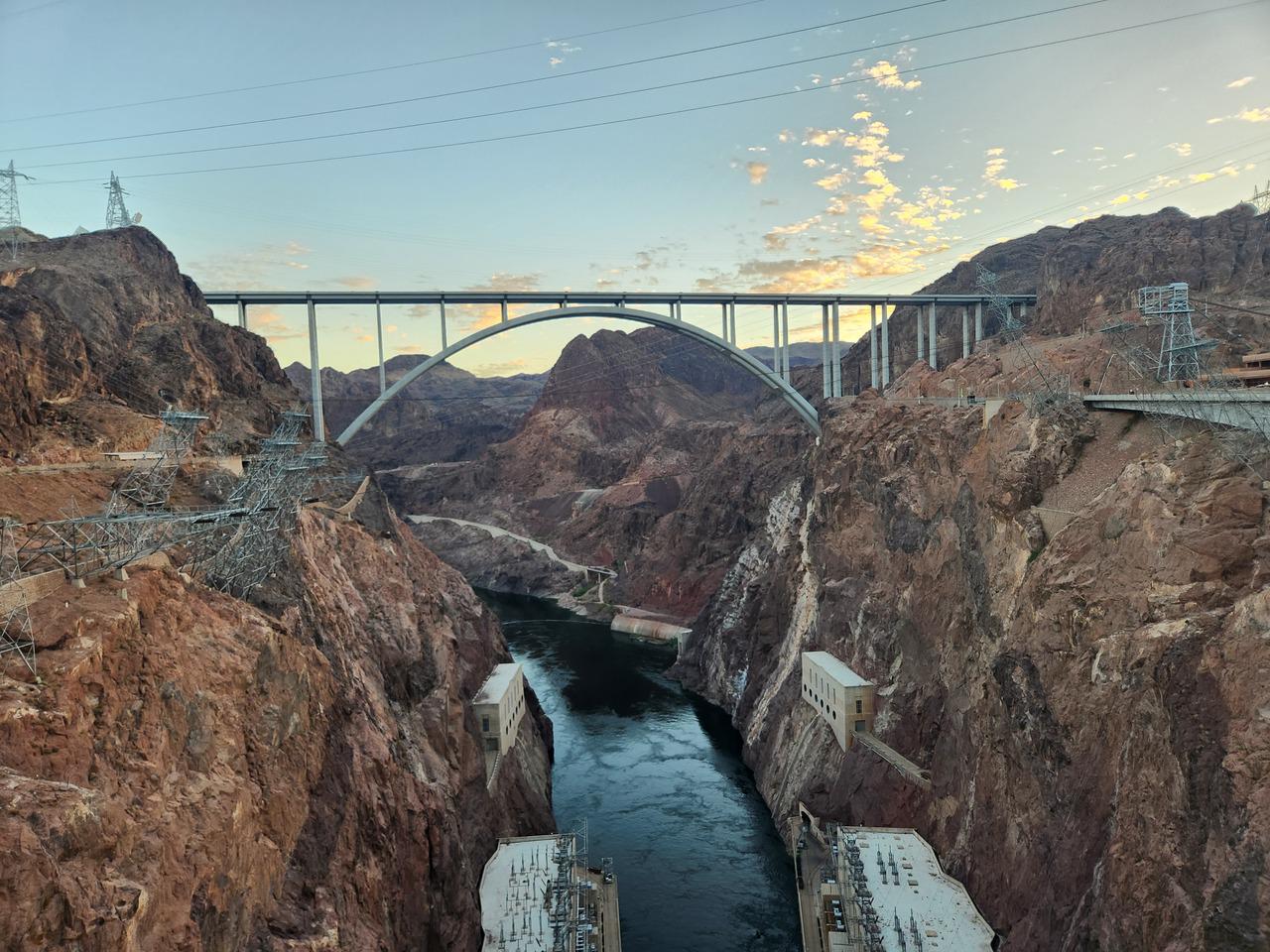
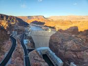
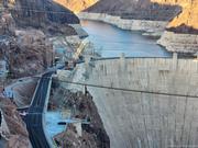
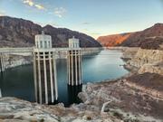
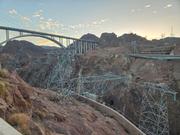
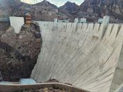
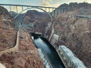
The dam was a very impressive sight, and even being there it was hard to get a feel for the size of it, until I looked down the dam wall while crossing it. It was a very long way down! There were some massive intake towers too. It was towards sunset when I was there, and there weren't many people. I could see a large multi-storey parking lot, so it probably got quite crowded. I walked back part way across the bridge over the Colorado River that I’d driven over coming in, and got a view of the dam stretching a long way back from the wall.

The dam generates a lot of hydroelectric power, and I could see, even from a long way up, the water swirling out from below the dam wall. There were power pylons at odd angles on the edge of the rock walls, taking the power from generators at the bottom, apparently angled that way so that the wires didn’t touch the sides of the rock walls. It looked as though they were in the process of toppling over! They did tours of the power station, but I think they had finished for the day. It was interesting to read about some of the history of how they made the dam and power plant, and the challenges they had.

After I’d seen my fill I drove back to the campsite and made some dinner, eating it while enjoying the view over the lake. The campsite was fairly open, and there was someone playing music or NetFlix or something nearby that I could hear, though it didn’t bother me much. It was one of the only times I noticed much noise in the evening at any of the campgrounds, mostly people seemed to be pretty quiet.

Image Gallery

Monday August 21st

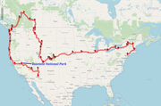
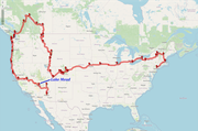
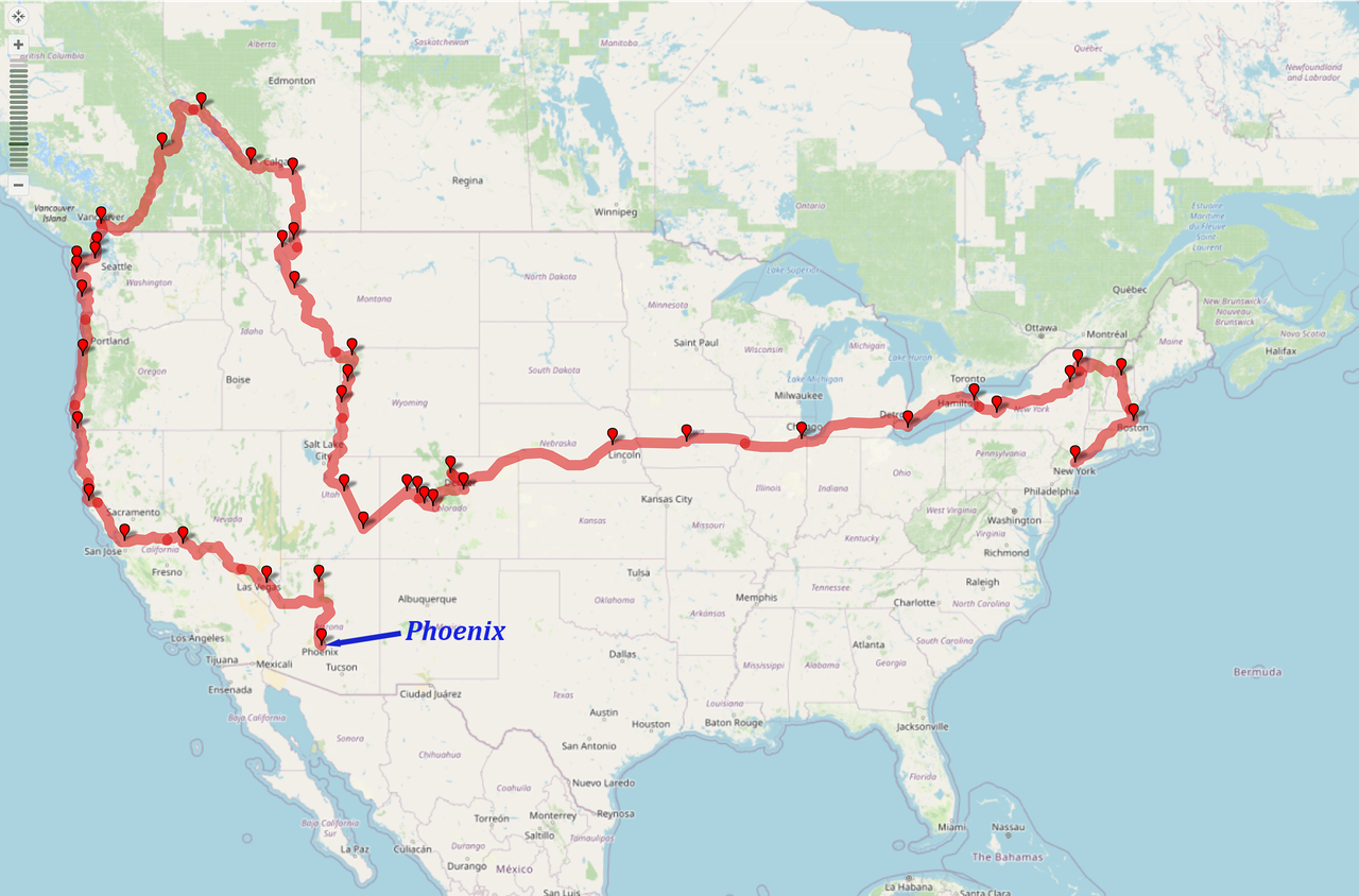
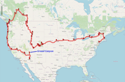
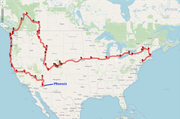
My route in the van

I prepared to set out in the morning for my adventures in the van which would be my home, with the exception of a few short stays with family and friends, for the next seven and a half weeks. I would end up driving 9,500 miles (15,000km) in the van, across extremely varied territory, being blessed with amazing sights.

I found out that the sliding door on the van didn’t lock when the rest of the car was locked. I had been leaving this unlocked without realising it while parking until then! I rang the van hire people and they said sometimes that door didn’t lock and unlock with the rest of the van until it got going after a while. But it never did work, so I always just locked and unlocked it manually.

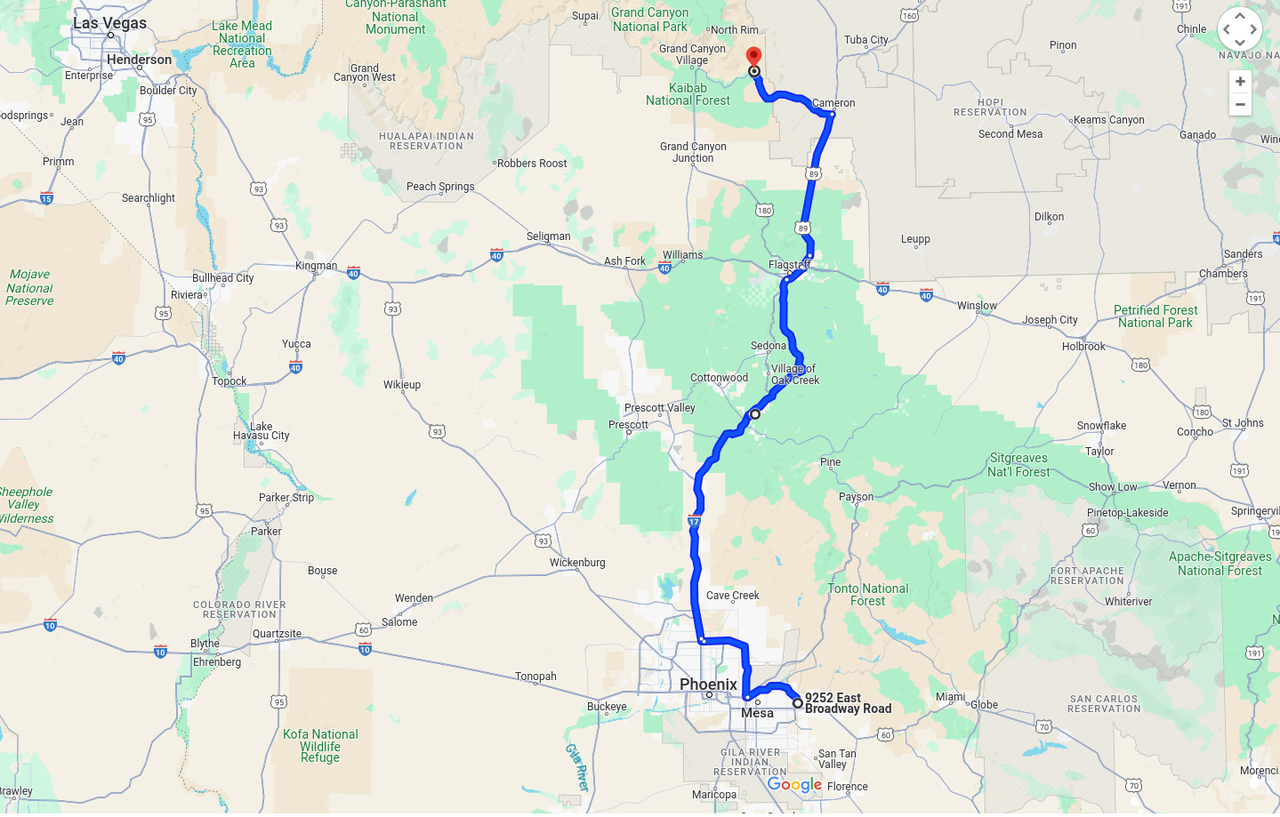
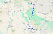
Route for the day

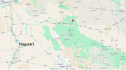
I drove from Phoenix, heading for the Grand Canyon. It was a fair drive, about four hours, with quite interesting scenery, and much of the way with 75mph (120km/h) speed limits on four lane highways, which was nice. I was getting the hang of navigating around cities with freeways, so the trip through Phoenix to get onto the highway was pretty good.

I drove on I-17 for a couple of hours as it climbed into into the mountains to the city of Flagstaff. This was a 6,000ft (1,830m) elevation gain from Phoenix at 1,000ft (300m) to Flagstaff at 7,000ft (2,130m). Some parts of the highway were pretty steep. There was a stretch where there was a sign warning you to turn off the air conditioning in case the engine overheated! I kept an eye on the temperature gauge, but the van was fine with the aircon on, though it was revving about 5,500rpm for something like 10 minutes hammering up the steep gradient.

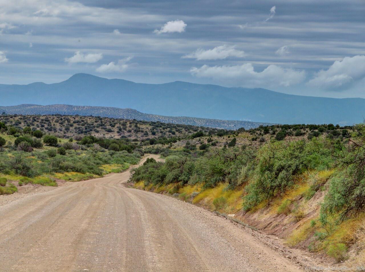
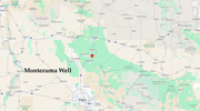
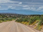
Bit by bit the desert-like scenery started to give way to more green looking landscapes. About two hours into the trip I came to a turn-off to Montezuma Well, which the lady who’d had the B&B had told me about. Google directed me to a little road which turned into a dirt road not long after I got onto it, somewhat to my unease.

Whilst it was not strictly forbidden to drive on dirt roads with the campervan, if there was an accident due to being on a dirt road, I wouldn’t be covered by insurance, and could be liable for any damage to the van, without limit. It sounded as though if it was not directly caused by being on a dirt road, and could have happened on a sealed road too, it would be ok, but still I was very careful on the few dirt roads that I ended up on, usually because Google had directed me onto what it saw as a short cut.

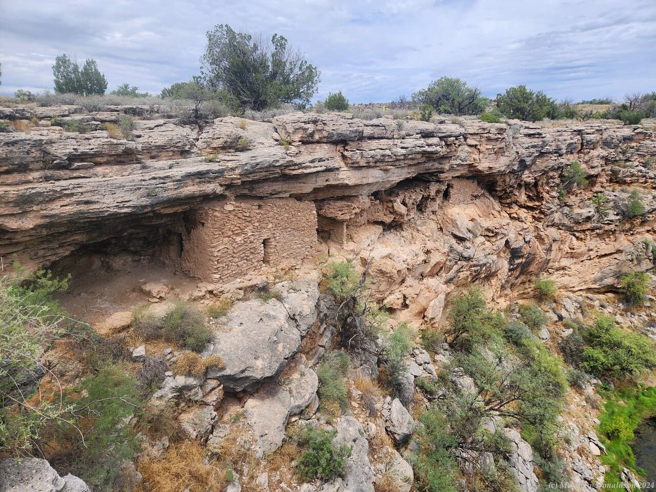
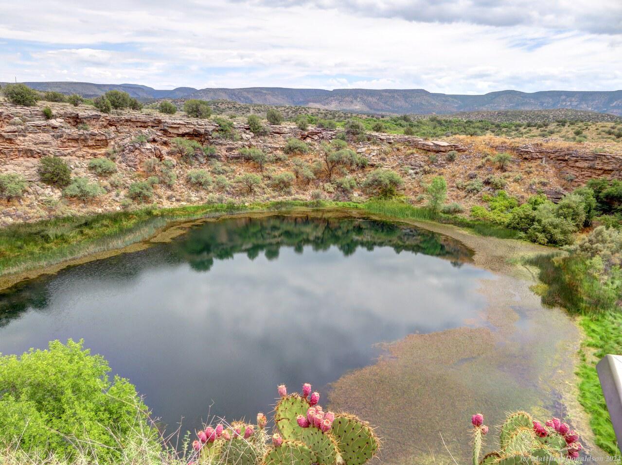
Road near Montezuma Well  Huts at Montezuma Well

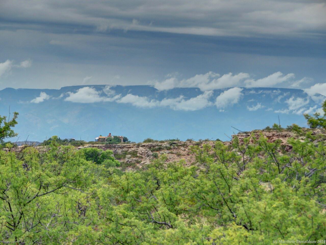
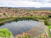
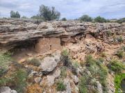
I got there without incident, along some rather bone-rattling corrugations. I wasn’t sure how shake-proof the stove and fridge and other equipment was, but they seemed ok. While it was still fairly dry in that area, there were some trees around, and mountains looming in the distance with clouds in front of them. Montezuma Well was an interesting place, with a lake in a kind of crater, with very old dwellings built into niches in the crater wall. I think they had been made by native Indians a long time before. There was a ranger at the building by the parking lot, who I chatted briefly with. I noticed a number of rangers around the parks I went to, many more than we see here.

I drove back a different way to the highway, on bitumen through the town of Rimrock, where I got fuel and something to eat later for lunch, and passed a Dollar General store (they are a very common chain of little supermarkets in the US), where I think I got more sunscreen as I had brought some along and used it in California, but couldn’t find it again. I think the original sunscreen did turn up in the van eventually. It had been cloudy and overcast all morning, but still it would have been easy to get burned no doubt.

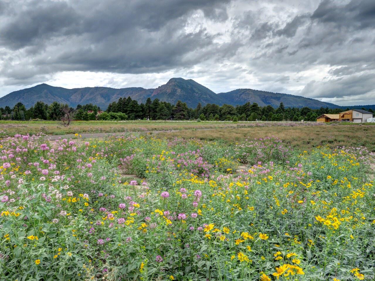
Flagstaff scenery  Flagstaff scenery

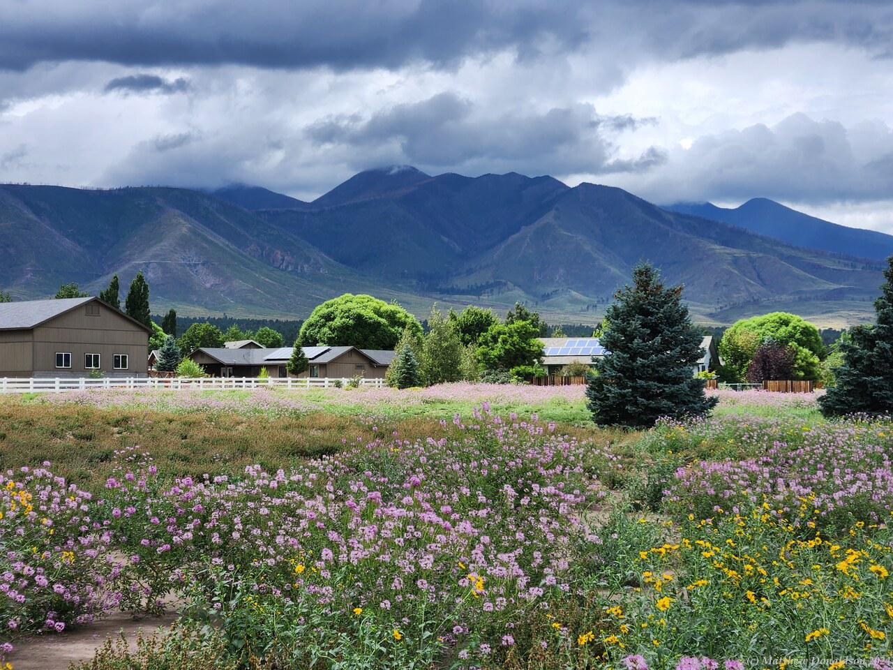
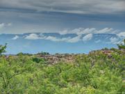
By the time I got to the fair-sized town of Flagstaff, the scenery was completely changed. It had been getting more forested as I went up, and now I found myself in an area with lush fields and flowers, as well as more mountains in the background. I ate my lunch in Flagstaff, by the side of the old Route 66, a couple of minutes drive off the main highway, which ran next to a rail line.

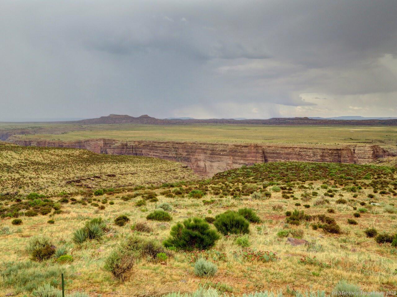
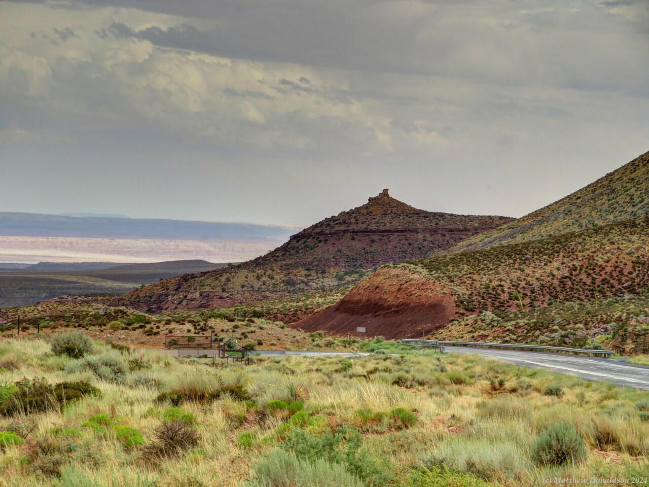
I took a smaller road north towards the canyon, with very little traffic, and as I got near Grand Canyon National Park I could start to see bits of the edge of the canyon. There were lots of abandoned looking little huts scattered along the road, where it looked like people would have set up shops. I don't know if they had stopped people from doing that, or if they were just not operating at that time.

Outskirts of Grand Canyon  Outskirts of Grand Canyon

All of the major parks in the US I went to, and often even the more minor ones, had booths where you pay or show your pass, and there can be long lines to get in, with people waiting even a couple of hours. The entrance I went into was a less busy one thankfully, and I got through quite quickly. I bought an America the Beautiful pass for US$80, which allowed access to all US national parks for a year. I lost count of how many times I showed this to get in somewhere. It paid for itself over and over again!

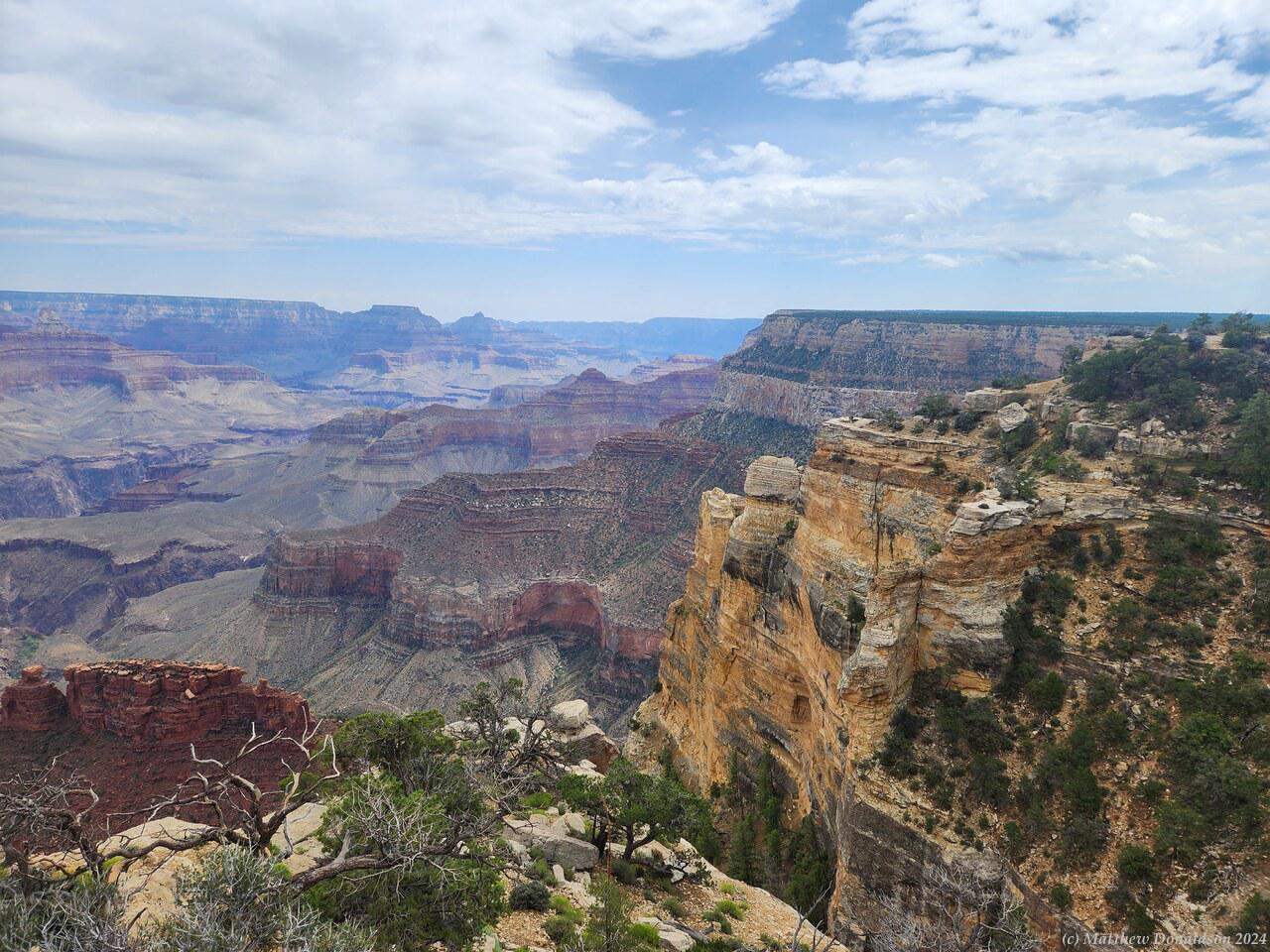
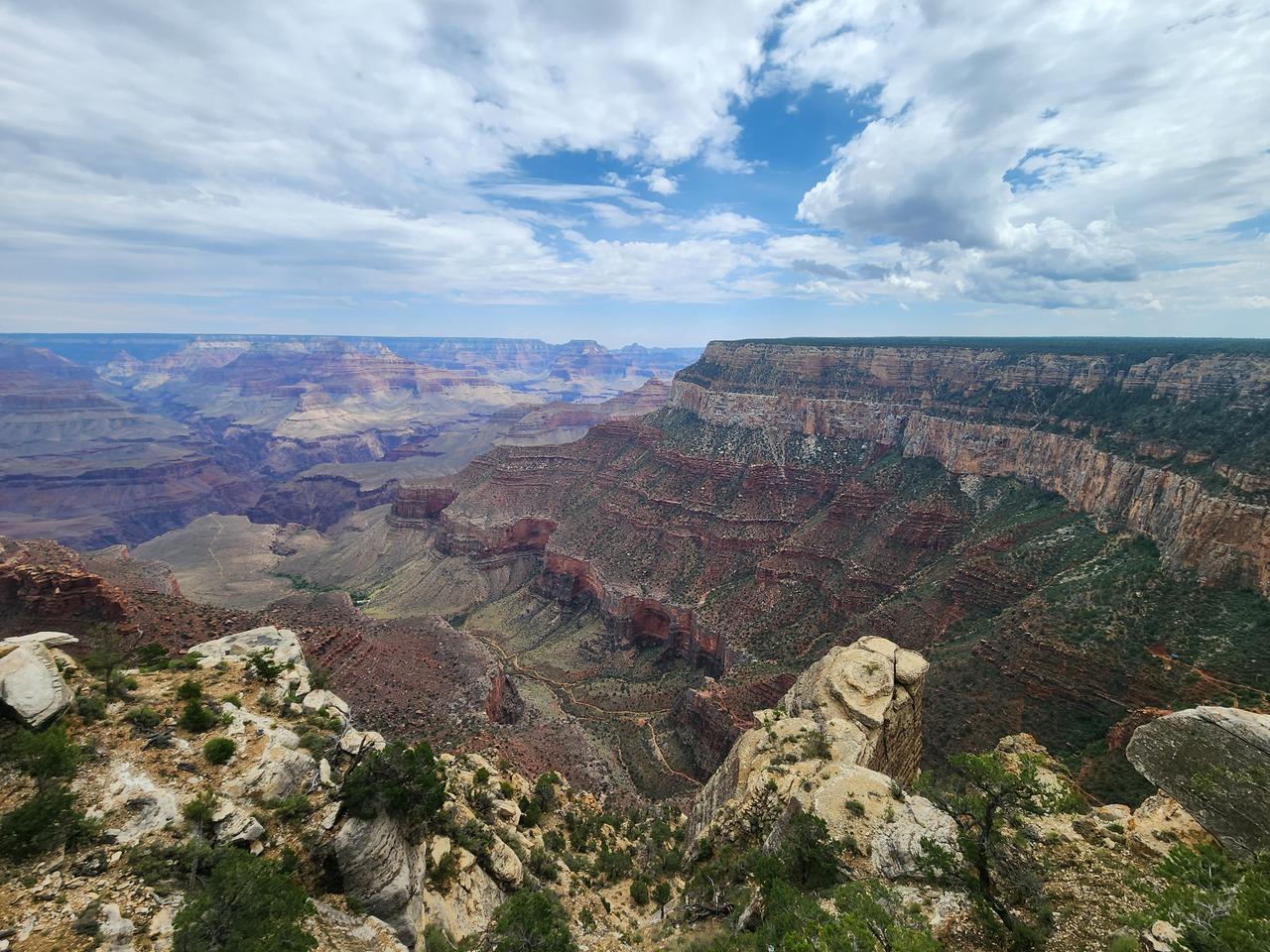
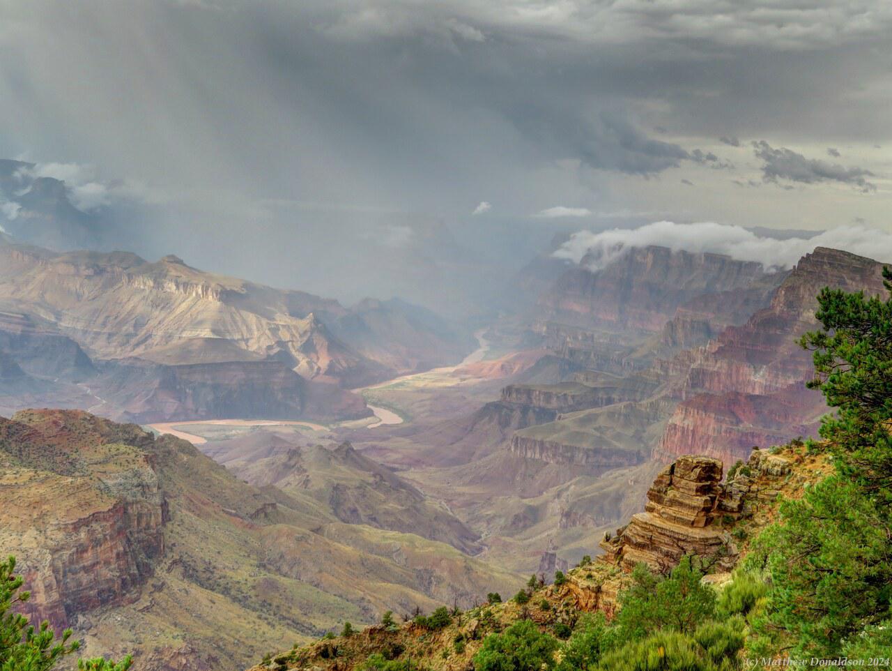
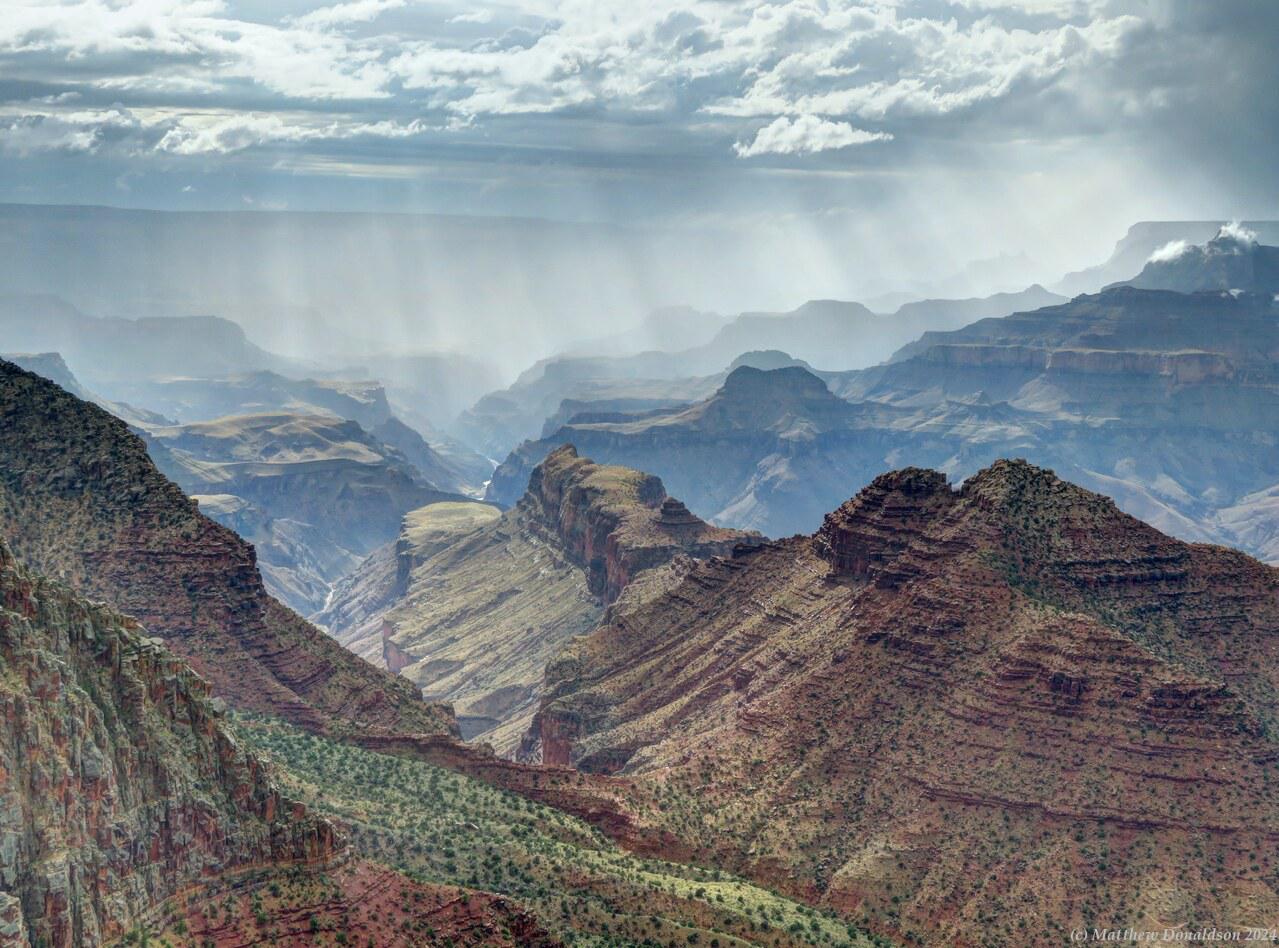
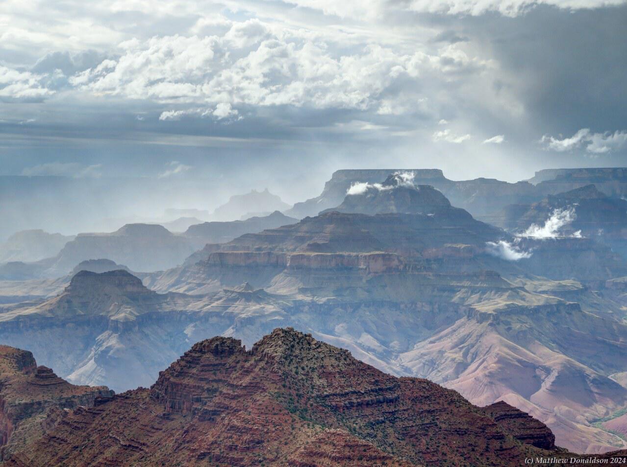
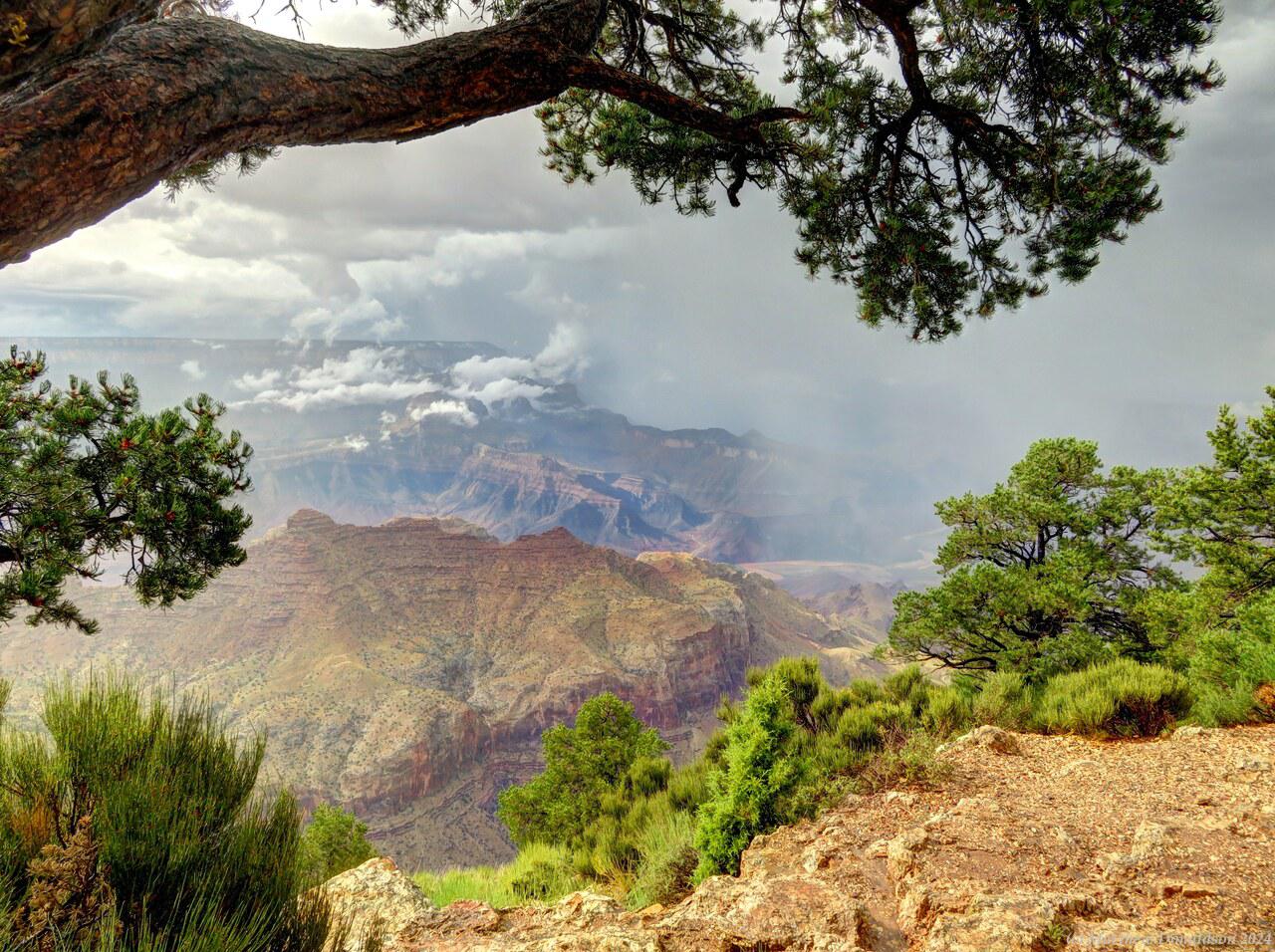
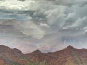
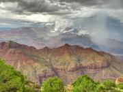
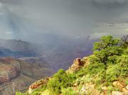
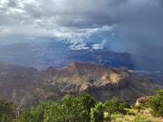
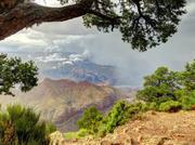
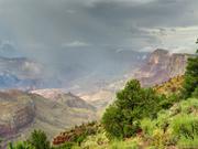
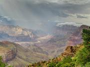
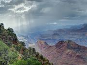
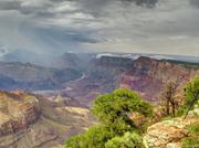
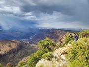
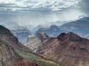
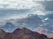
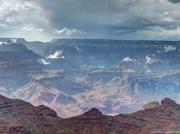
When I got to the canyon, it was misty and rainy, and I used the rainy period to make a phone call back to Australia to sort out some banking issues. I wondered how things would work out with the mist and rain – there wasn’t much to see at the start. I asked the Lord to show off His creation to me, and boy did He! Once I was there the fog cleared after a little while, and I was treated to spectacular sights of mist and low clouds and patches of sun. The area I was in was about half an hour's drive from the main town area of the canyon, but the canyon was so big that I was still right on the edge, with amazing views, and hardly anyone else around!

Glorious Grand Canyon  Glorious Grand Canyon

Glorious Grand Canyon  Glorious Grand Canyon

I found a little path going from the car park into a secluded spot and just enjoyed the show for maybe an hour and a half while things changed continually with sun and rain going through. There was just one other photographer who came a little way away. It was an amazing experience. Afterwards I drove around to one or two other lookouts nearby. There weren't many people anywhere, which was a great introduction to US parks. This was not a situation that was very common unfortunately!

Towards evening I made my way to the Desert View campground where I was to stay. There was a service station and a store near the entrance, but things looked to be closed at that hour. I found my spot and parked, then walked over to the site of the camp host to check in. Most campgrounds had one or more camp hosts who stayed onsite in caravans with a sign out the front identifying them. Some campgrounds had a kiosk at the entrance where you checked in, but in others without a kiosk, it seemed generally you were expected to find the camp host and check in, even if you had booked in advance and had been allocated a site. The host would update you on things you needed to know about the campground.

I was with a few other people checking in at the same time, and this camp host warned us about bears, and to keep our doors locked. Bears were able to open doors! He also mentioned not to cut across people's campsites to get to another part of the park.

The Desert View campground was near where I had been taking most of the photos, about half an hour’s drive east of the main tourist area. It was a spot I’d highly recommend, still with beautiful views of the canyon, but far fewer people than the tourist hub. I had a nice quiet campsite, with a lot of trees around making for good privacy.

The toilets were a few minutes walk away. There was a road going around the campground, and the toilets were on the other side of the ring from me. There was a little track part way along cutting across to the other side. I found it while it was light. During the night when I had to go, I was glad I had checked it out during the light. I was happy to be able to find it, then find my way back, using a headlamp which proved to be invaluable for such expeditions!

Glorious Grand Canyon  Glorious Grand Canyon

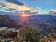
Once checked in, I found my way via a path the camp host had told us about to the edge of the canyon about 5 minutes from the campsite. My campsite was just next to this path. I had found out about this path while organising the trip, when reading about the campground, and I had chosen this campsite for just this reason. It was lovely to be able to walk out there and see the sunset. The track was not marked very well, and I made sure to head back before dark so I could find my way back. After making dinner, I set the alarm for 5.30 to see the sunrise the next morning.

Image Gallery

Sunday August 20th

Small trip in the afternoon

In the morning I lay in wait for someone to come out the gate, to see if I could get the code to get in. Someone did end up letting me in, though not giving me the code. I had found an email overnight that I’d missed earlier, telling me what site I was in, right at the back of the park, and I drove in and parked there. But once I was in, even the toilets had codes!

I was finally able to get through on the phone to someone thank the Lord, and the person gave me all the codes, and I was able to settle in. It looked as though I may have been the only van there, and it was dwarfed by all the large caravans and mobile homes parked there. I had a shower and cleaned up a bit.

Everything was pretty disorganised in the van, and I spent a lot of time just trying to find things over and over again, dripping with the heat in the meantime. Little by little I did get more organised so I knew where everything was. I’d bought a good supply of instant oatmeal packets, where I could just boil water and add it, and get porridge. They all had flavourings too, one main one was maple syrup, and others had bits of dried fruit in them that rehydrated when the water was added – strawberry, blueberry, peach. They were very nice. A a couple of packets of this in a bowl, and a cup of tea were my breakfast pretty much every day while I was in the van, and it worked well.

To avoid having milk go off, I bought a large supply of UHT milk cartons, each about the size of a fruit box, quite small. I’d decant one into a bottle and put it in the fridge, then use it for about three days, then rinse out the bottle and start with the next one. My supply held out well.

Kierstyn and her husband Jacob picked me up at the RV park, as we weren't sure about restrictions on where the van could park, and we drove to Emma's church (she was the other person in the Zoetic band). It was quite a large church, with a band out the front, and fairly modern. I enjoyed the service and it was a good message.

The pastor opened by saying it seemed a shame to be inside on such a nice day. 36 and humid didn't seem like a nice day to me, but I guess it was great compared to 45! We went back to Kierstyn and Jacob's house, which is also where their studio is, and Kierstyn showed me a pre release of their latest song – it was nice to get an early peek! – and we had a good chat.

Around 1.30 or so we met up with Emma at a local restaurant for lunch. It had water misting continually all along the edge of the roof outside, apparently to make it bearable for people to sit outside!

After we'd finished, the waitress came around with an EFTPOS machine for each of us. I had been a bit nervous about the whole tipping thing, the rules seemed complicated and people could get very offended if you didn’t tip properly. But it wasn't bad with card payments. After you tapped your card, instead of that being the end of it, the person turned it around back to you and you chose a tip, from a range of choices, then gave it back. This worked well at most places. I tried to pay by card when I could, and if the machine asked for a tip then it was expected, but if not, then I didn't need to tip. We parted, and Jacob dropped me back at the RV park.

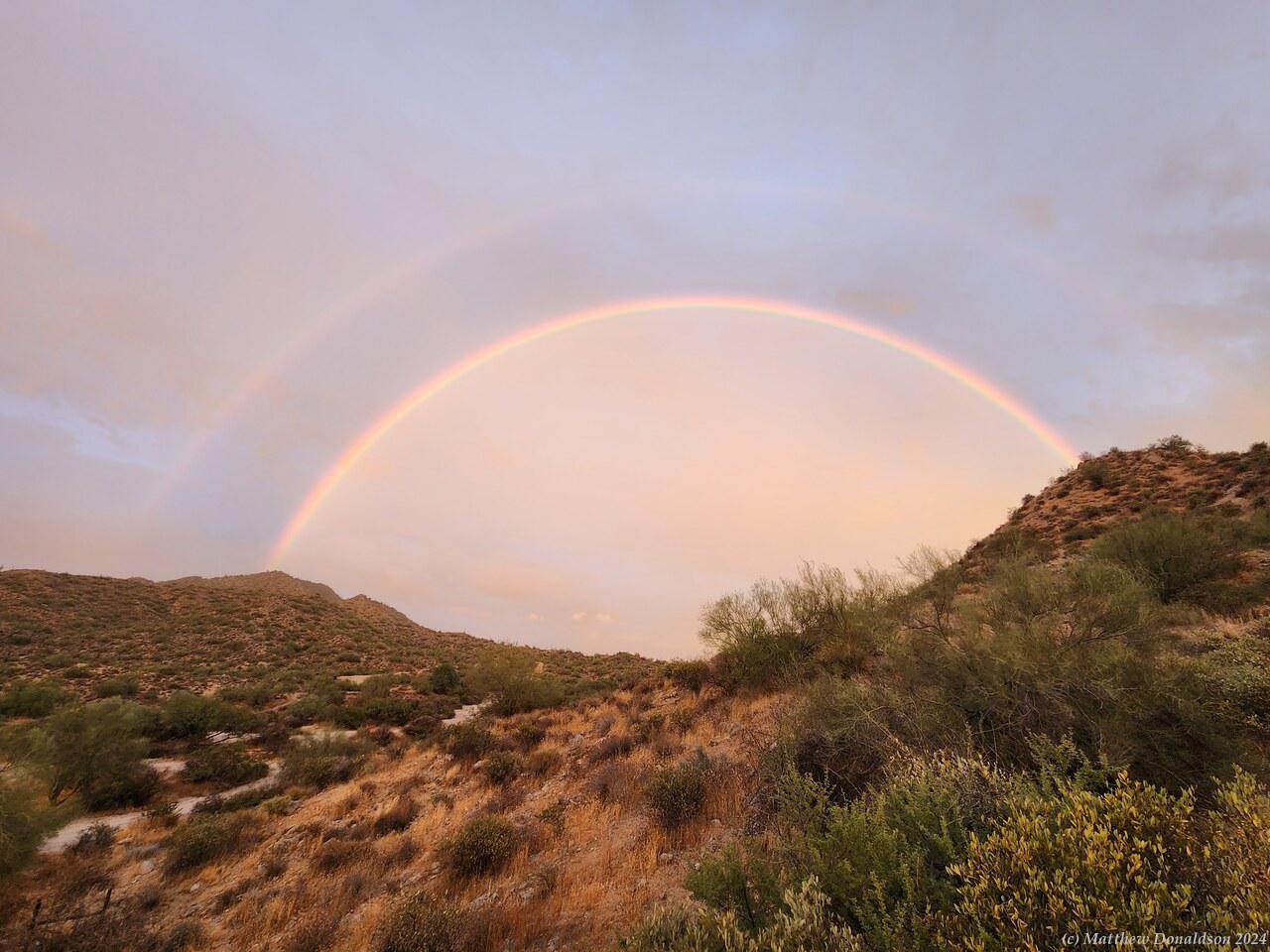
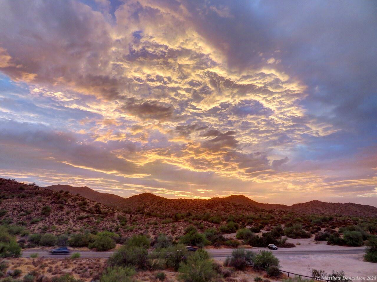
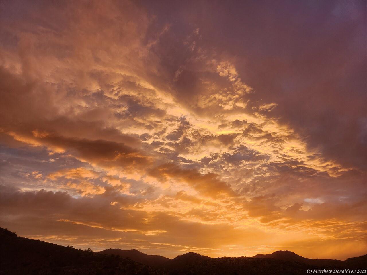
Rainbow over Phoenix  Phoenix Sunset

I the late afternoon I drove up a hill not far away, just past the outskirts of Phoenix, and at 5.30pm had some prayer with the group I do Bible study with over Facebook video chat, while running the engine and keeping the aircon going. It was hot and humid outside, and also inside unless the engine was running for the air conditioning. Usually the studies were on Mondays my time, but it was Sunday afternoon or evening, depending on the time zone, over there. We didn’t do a full Bible study that day, someone suggested just to have prayer, since I’d had such a rough time of it, and was probably tired.

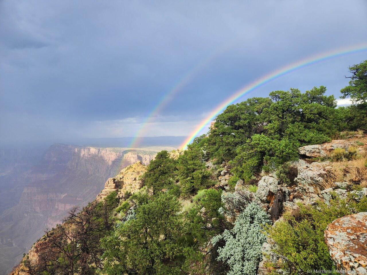
The sun was starting to get low when we finished, and I had a little look around the area where I’d parked, which had some low shrubs and grass, with a few large cacti around. I was treated to a beautiful double rainbow and one of the best sunsets I had the whole time I was there.

Driving back after sunset, there was someone behind me who was weaving back and forth, I wasn’t sure why. But I discovered later that the lights on the van were not set to automatically turn on – there was a setting for that, but it was turned off. I was used to lights going on automatically, and it was a fairly modern van, so I’d kind of assumed that they would just come on. So I had been driving with only the running lights at the front, and probably nothing at the back, so the person behind may have been trying to get my attention!

Phoenix Sunset

I went back and cooked some dinner. There was no furniture in my spot, so I set up the portable fold-up table I'd hired, which was a curious contraption with slats, that rolled up to the size of a folded-up chair, and took a little setting up, but it worked ok. I think it was the only time I used it. All the rest of the RV parks and campgrounds had some kind of picnic table setup, or I’d use the rear bumper of the van as a table while sitting in the folding chair, which also worked pretty well.

I'd bought a large number of tinned meals, which provided my dinner most nights, along with some bread and cheese. There was a lot of variety in the tins at Walmart – even clam chowder – so I didn’t get bored with them. They also sold bottles of peanut butter and jelly, which was pretty tasty, and I had that on bread for dessert sometimes.

I had a little trouble getting the gas bottle connected for the stove, it required quite a bit of force to screw on. Whenever I used the stove, I needed to screw in a little gas pipe to the stove, then screw the gas bottle onto that. I’d bought about four or five of the small gas bottles. I wasn’t sure how long they would last, and from what I’d read, I thought I might need more than this, but they lasted surprisingly well, and I used only something like three in the end. I found out that it got easier to screw the bottles on as they got emptier.

The two-burner stove pulled out from the back of the van on a little sliding shelf, which was where I usually used it, but it could also be taken out and put onto a table, which I did now and then when it was more convenient. It had to be done outside though, because of the gasses.

Another hot and humid night followed. I had a powered site, so I was able to get everything charged. There was no way to get power into the van, except passing the cord through a window, so when I was at a powered site I just charged my devices in the morning or evening while I was out of the van. I could charge my phone from one of the 12V sockets in the van while I was driving, so I didn’t really need a powered site, it was just more convenient. I had bought a large container for storing water in if I needed it, and filled that up at the tap in the site. The water was a bit fizzy looking, I guess from mineral content or the warm temperature, but it was good enough for my purposes.

I had some 1L water bottles too, which I kept filled up each morning and night, which got me through each day. I didn’t end up needing the big container except at one campsite where there was no potable water.

Saturday August 19th

Route for the day

I set off early to return the hire car at the airport and then catch the plane. There wasn't a lot of traffic on the Saturday, and it was an interesting drive. I went over one long bridge, I think the San Mateo Bridge, and had a good view of the bay as I went over. All was going well until the car GPS directed me to the wrong place, a closed Hertz sales centre, not the car return! I had read about the way to get to the car return, and I hadn’t been directed that way, and I did wonder why.

So there I was next to a closed car sales place, and the car had no other record of any Hertz place. So I had to look it up on the phone, and then follow the prompts mostly just listening because I didn't have the time to fish around and get the cradle for the phone, and couldn’t see the phone and drive at the same time. Because of this I missed a couple of turns again! Though I had left early, time was ticking away now, and I really thought I would at least not get my luggage on the flight.

I did get to the car drop off, and thankfully you could just leave the car and run, so I hot footed it to the elevated monorail which shuttled to the terminal I needed. I had to wait in line then to have my passport checked (even though it was a domestic flight) and then again to go through the security screening. My case turned out to be something like 500g overweight, and they told me I had to take something out, so I took out another jacket and wore it around my waist, and got it close enough to 50 lbs that they let it through. So everything worked out ok thank the Lord.

I was taking a Southwest Airlines flight, and they had the unusual feature that there were no assigned seats. Once you got on the plane, you just went to whatever seat was free. The way it worked was that everyone was given a boarding order. I think this depended on how early you checked in online. I paid a bit extra to be automatically checked in before the general checkins were opened, which gave me something like position 33.

We all lined up in order of our position. There were lanes for different position ranges, and within that lane, it seemed like people just asked other people what their positions were. Someone asked me what my number was, and we arranged ourselves in order. I got a good window seat when I got on.

San Luis Reservoir  California mountains

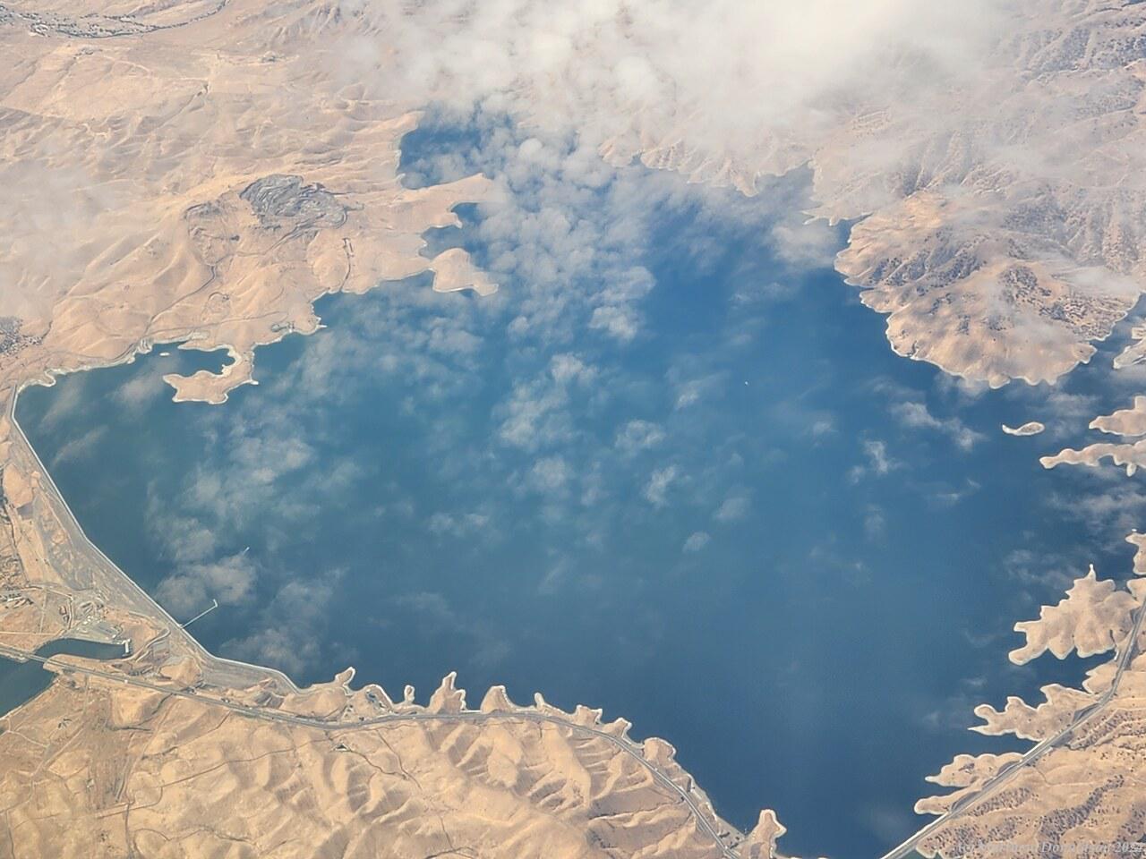
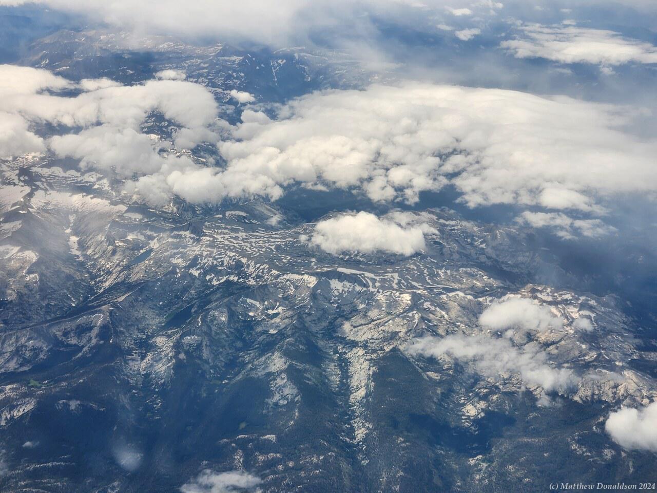
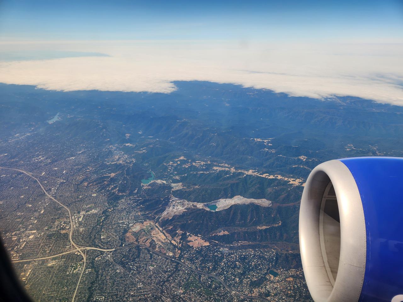
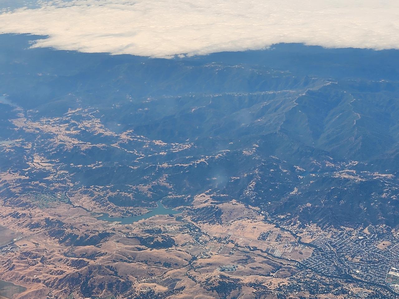
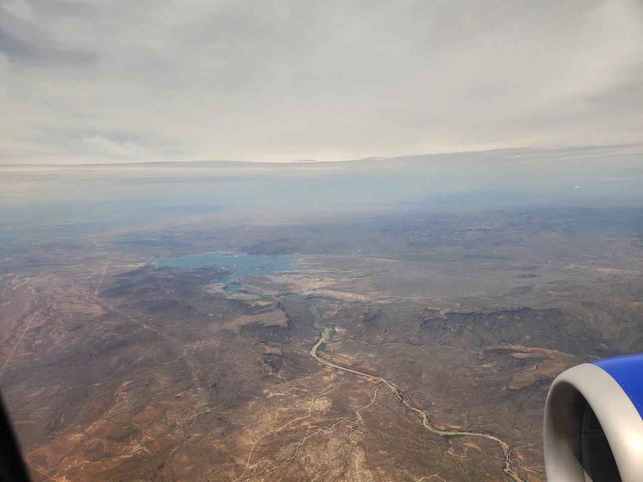
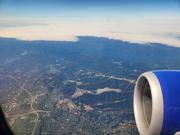
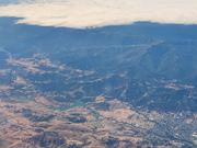
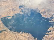
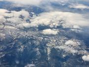
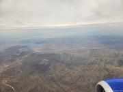
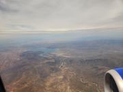
The plane left nearly an hour late. It was cloudy leaving San Francisco, but I had a good view from time to time, and saw a large lake which I thought might be the Hoover Dam, but I found out later was the also large San Luis Reservoir. Further along were some some snow capped mountains, which I thought was amazing in August, which is late summer there. I think these may have been the mountains near Mammoth Lakes which I drove back to later. Over the mountains I got a peek through the clouds at a very bare looking area which I suspect was Death Valley. It looked quite like what I had seen in photos or satellite images.

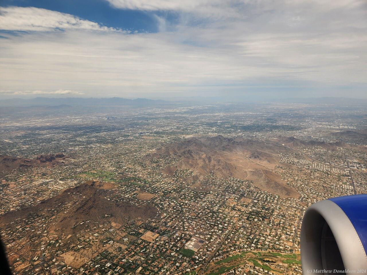
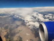
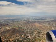
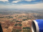
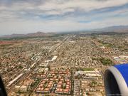
Coming in to Phoenix about 45 minutes later, the area looked extremely dry, like a desert. There was a lake near the city, but it was surrounded by what looked to be dry, treeless hills and plains. I was booked in to collect the campervan at 1pm, and the flight arrived after 12, because it had left late. I hadn’t had time to get breakfast – I thought I would get it at the airport, but I was so late that I didn’t get a chance. So I got some lunch at a weird little kiosk that was unmanned, and you had to check things out yourself, then waited for my luggage, and eventually got it, while eating.

Desert Arizona  Phoenix from the air

I got an Uber to get to the Escape Campervans place not far from the airport. This worked very well, and the driver was at the meeting point not long after I got there. We had an interesting chat. He had been a homicide detective, now retired, and enjoyed driving, earning $80k per year he said, having studied what times weren't being serviced, and starting his availability at 2am.

I gathered that I was the only person collecting a van at the campervan place the entire day, so there were no delays. They had decided to upgrade me to the next model up, because they weren't confident about the older low end models doing 10,000 miles. What a blessing that proved to be! The newer one had a reversing camera, which saved my bacon more than once, and also a second row of seats, which was perfect for storing my case in. It would have been much more difficult and cramped with the other model. The van was nicely painted with desert type scenes, its name was "Hot Ride".

I’d ordered a lot of optional extras, like a table and chairs, some netting you could put over the windows when they were open at night to stop insects coming in (which I didn’t end up needing), bedding and kitchen kits, and a gas bottle. They added in an extra doona when I asked for it.

The lady showing me around was nice. I got my luggage into the van, found a way to attach my phone holder, and got things a little organised then headed off to navigate to a shopping centre for supplies. I set up my phone's cradle and successfully navigated to the big shopping centre I wanted to get to. With driving on the other side, and the size of the van, I was not good at getting the van parked correctly in a parking spot! I parked well away from everyone else in the large parking lot, which had a lot of space free on the Saturday.

I went to AT&T to get a sim, but though it had appeared from their website when I’d researched this earlier, that my phone would be ok, their systems said it was not compatible. Thankfully I was able to just keep roaming with Telstra, which was pretty reasonable, it was something like $25 for two weeks with 4GB of data and 100 minutes of calls. I just kept buying another two weeks each time it ran out or was about to. 2GB a week wasn't a lot, but I was able to stay within it.

I stopped at a camping store, one of a bit chain called REI, and a sports store nearby, and got got a sleeping bag for extra warmth, camping lantern, watter bottles, and other camping and hiking supplies. I had wanted to get some foot warmers which didn’t need power – they used some chemical process and apparently lasted twelve hours. But in Phoenix in the summer, where the temperatures were in the 40s, they didn’t have them in stock! REI had a membership program which looked very attractive if I had lived in the US, but was not much use to me since I would probably not need camping supplies there again, or not for a long time.

Then I headed to Walmart for the first time. It was huge, and had food, cleaning products, a pharmacy, gas bottles, all sorts of things. Apparently some Walmarts sold guns, but I didn’t see any there, and though I was curious as to whether they really did have guns in supermarkets, I didn’t really want to ask! I spent maybe two hours getting everything I needed for the camping trip, pretty much a full trolley, for about $550 Australian.

I spent quite a bit of time trying to locate some of the things on my long list. Then the mountain of stuff took quite a while for the checkout person to scan and put into bags. Once I got it all into the parking lot, it was a fairly long job again to pack it all away in the campervan bag by bag, finding places for everything in the drawers under the bed, and other nooks and crannies.

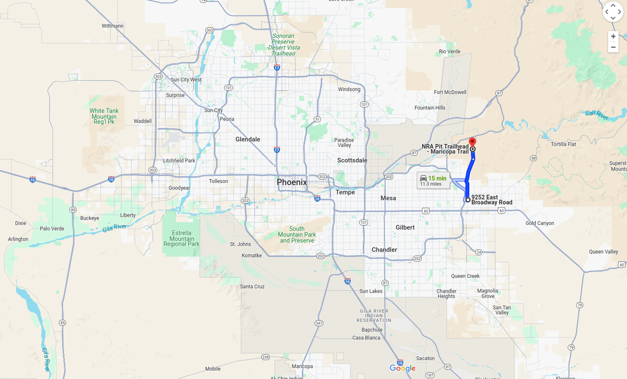
So by the time I arrived at the RV park I had booked into, it was about 8, but I had understood someone would be there till 8.30. Google first directed me to some kind of back entrance which was locked. Then somehow I found the front entrance, but there was a gate, and you needed a code to get in, and no one was around. I wasn't sure what to do. I tried ringing them on three numbers I had but there was no answer.

I think then I went back to the other place Google had directed me to, and a couple who were outside their house asked if they could help. I explained that I didn't know the code to get into the RV park, and they said they used to know one or two codes and gave them to me. It didn't look like a great area, but they were friendly. I went back to the main entrance, but it seems they had put in a new system recently at the RV park, so their advice didn’t help. I tried ringing a Walmart not far away to see if I could park in their parking lot overnight, as they often allowed this apparently, but nobody answered.

I had arranged to meet with a couple of musician friends living nearby from a Christian band called Zoetic the next day, and I rang one of them to see if I could park in their street. She was helpful and had a look for other RV parks that maybe would still be open. It seems that there were laws forbidding parking RVs on the street in their area so that wasn't going to work. I couldn't reach the other RV parks. So I just parked outside the gate and waited for morning.

I ate dinner cold from a tin, as I didn't want to be seen doing much outside while I was outside the park. Then I went to bed with my clothes on in case I was roused in the middle of the night. I didn't sleep much, if at all, in between the noisy road and wondering if police would come along and ask me what I was doing. I made good use of one of the containers I'd bought that you could go to the toilet in, since there were no facilities. It was stinking hot and humid, and there was no air conditioning in the van when the engine wasn't running, so that didn't help!

I kept dripping all the time whenever I was trying to find things in the van, which was often at the start. I had bought a little USB fan, and that was very handy to make things a bit nicer while being in the van at night. It was something like 36 during the day and completely overcast, and pretty warm at night too. Apparently this was really unusual weather for Arizona, which had been getting to 45 or so, and sunny. There was a cyclone of some sort hitting Southern California (I was glad I missed it, thank the Lord) that was affecting the weather in Phoenix.

Image Gallery

Friday August 18th

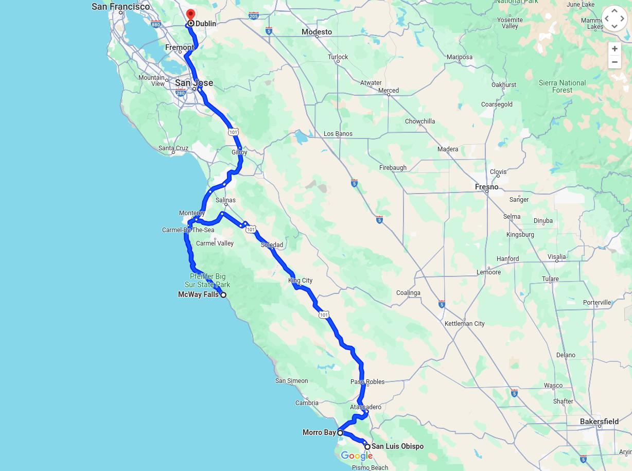
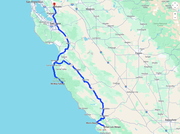
Route for the day

I slept well, and woke up at daylight, now synced with US time. It was a warm, sunny day, and I drove off to nearby Morro Bay, and got breakfast at McDonald's. I went into the drive through, and it was weird because I found what looked like a rubbish bin instead of the place where you order. I was stopped, puzzling over this, when someone came over and told me I was going the wrong way. Their drive throughs go the other direction!

Morrow Bay

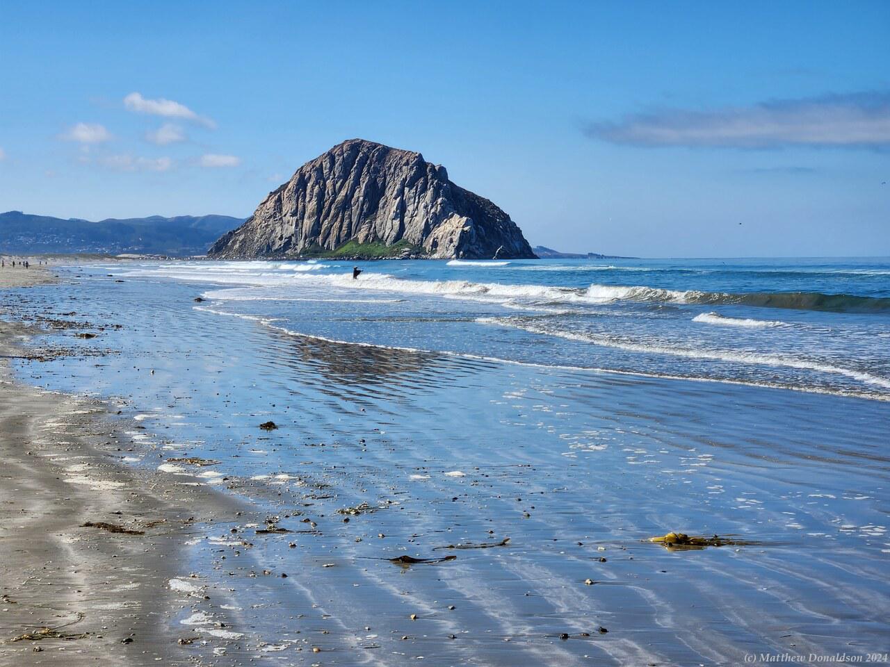
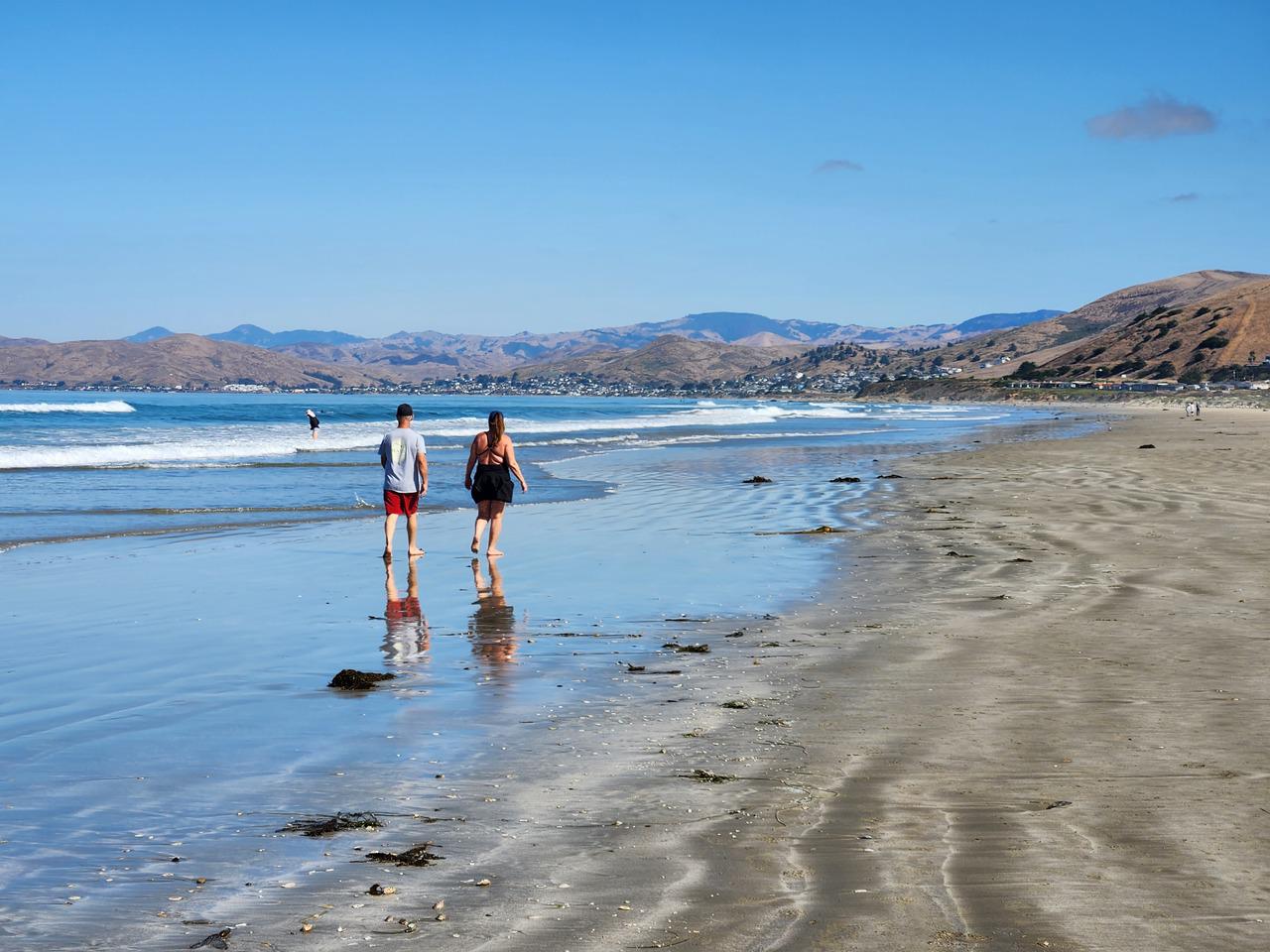
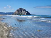
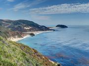
Morro Bay was quite pretty. As I walked out to the beach, an older guy told me he could tell I was a tourist. Apparently I was dressed too nicely, and my pants weren't staying up! I walked along the beach for a little while. There weren’t very many people around. The beach had a fair sized bluff at one end, mainly just bare rock, which was quite striking.

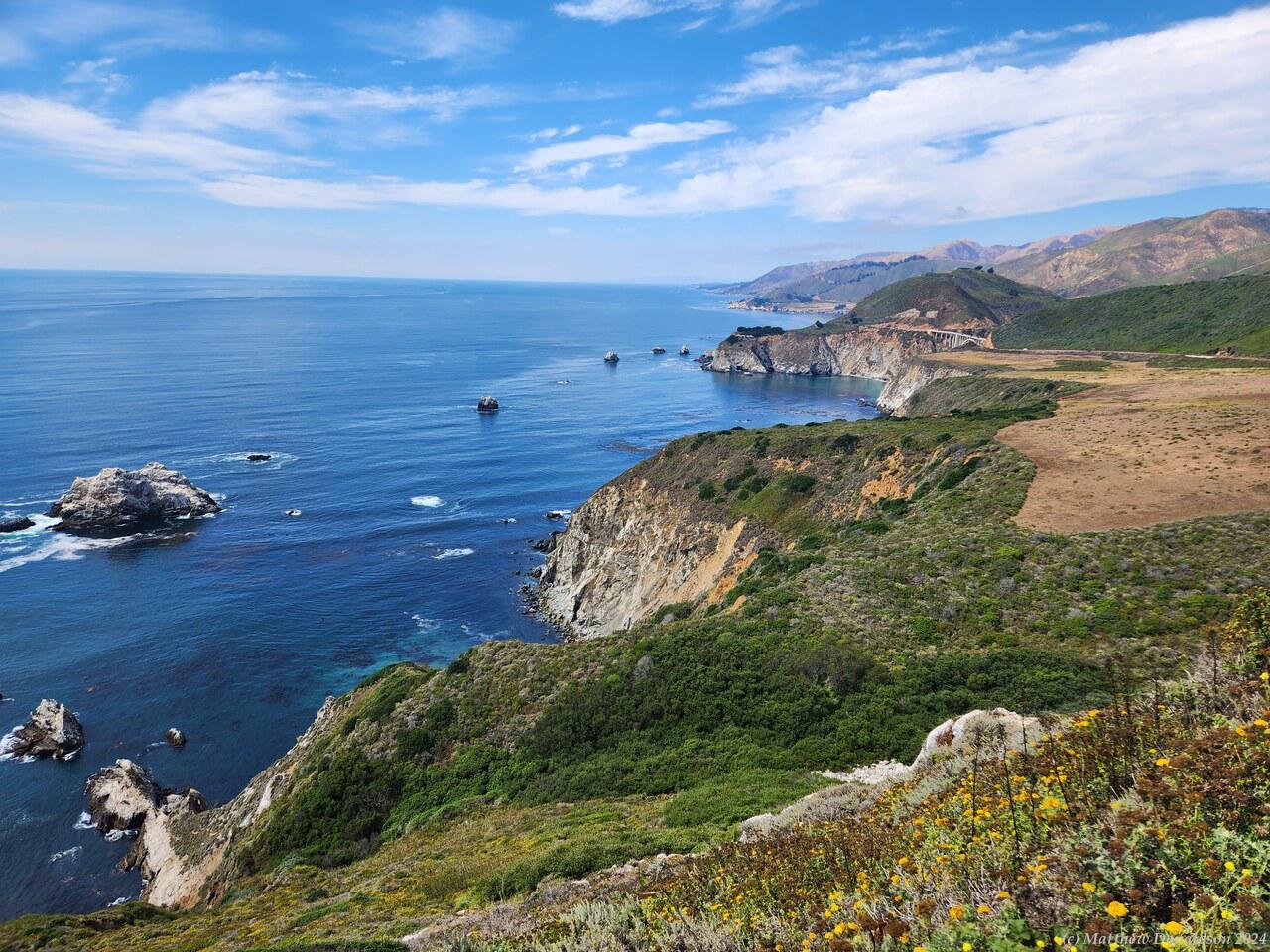
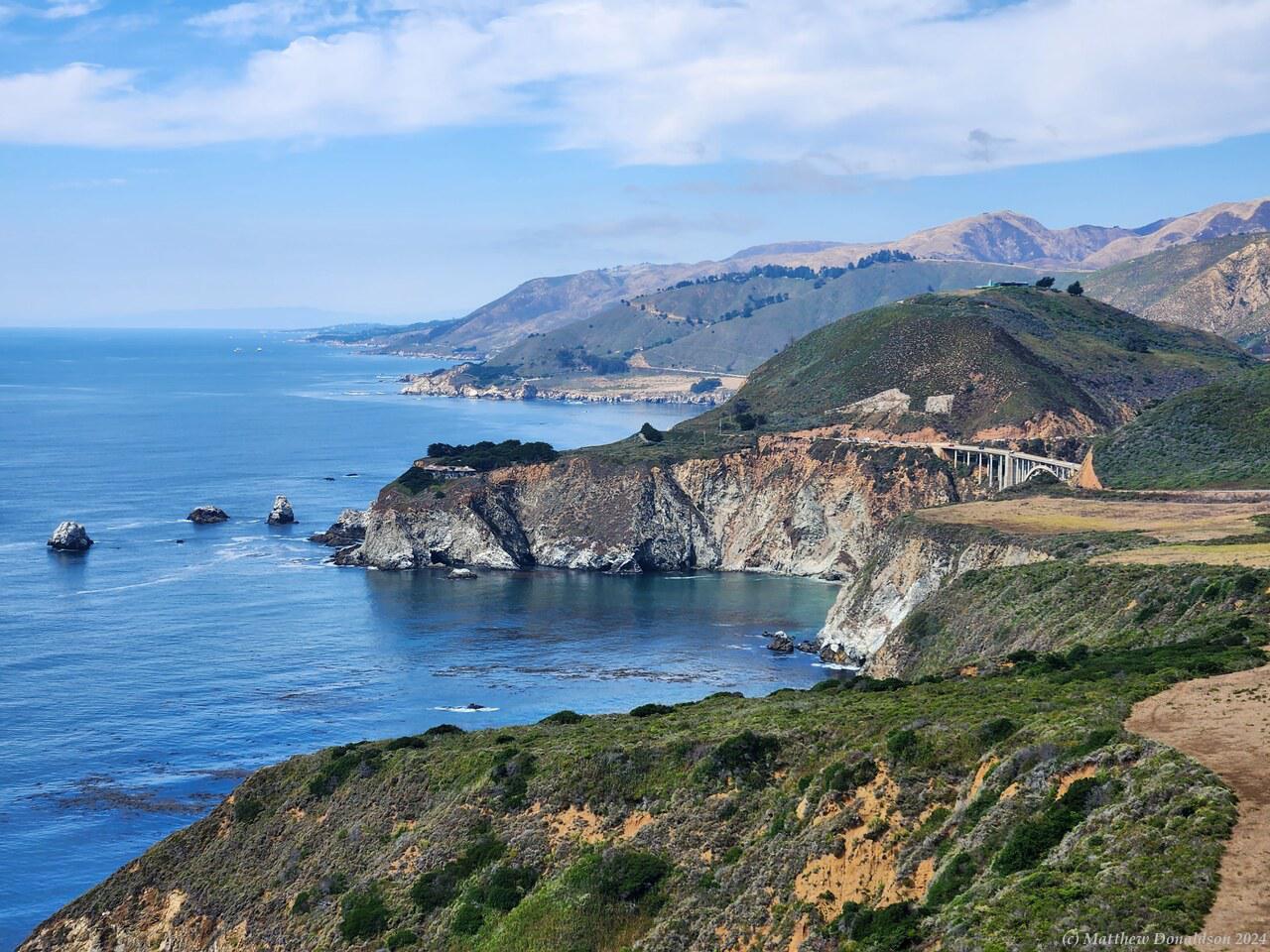
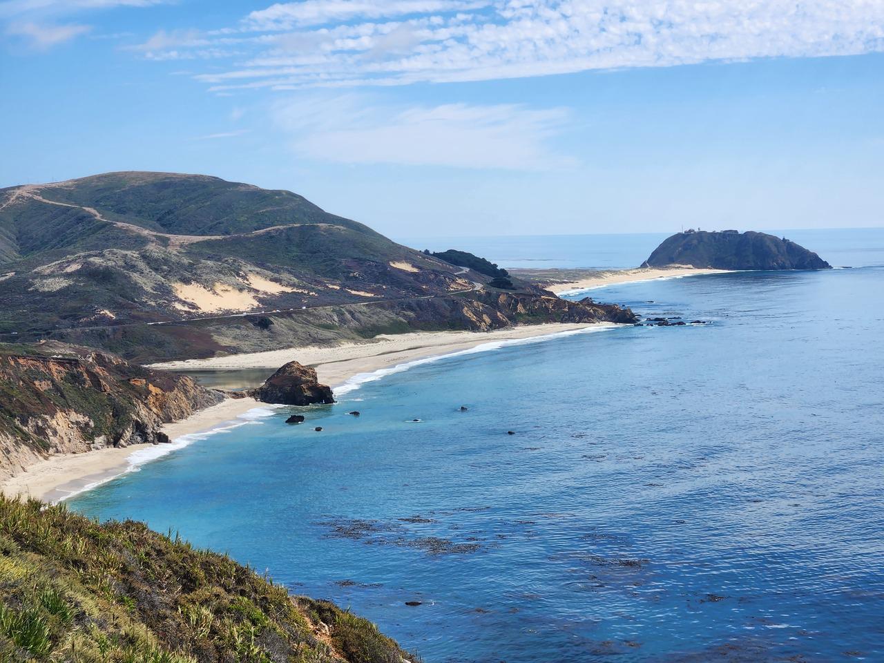
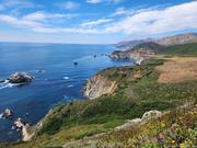
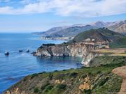
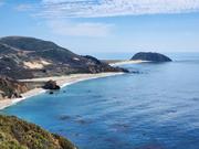
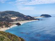
From there I set off for Big Sur. I couldn't take Highway 1 along the coast because it was closed with a landslide further up. It seems that this highway is closed for significant percentage of the time with landslides. The alternate route wound up through the hills to the main inland Highway 101, before backtracking on Highway 1 down the coast again. The drive through the hills in this upmarket car would have been pretty enjoyable if I’d been more used to driving on the right hand side of the road. I was still trying to make sure I was not driving too close to the edge, but it was a nice drive in any case.

I got onto 101 and drove for a couple of hours through fairly flat territory on a four-lane highway. Some of it looked a bit like South Australia, but here and there were oilfields with the big pump heads going up and down. Most of the trip the speed limit was 65mph (104km/h), but there were sections where it was 70 (112km/h). I worked out how to get cruise control going on the car (surprisingly complicated for a fancy car), and realised that it was also automatically steering to keep me in the lane - mostly! But sometimes when the curve was too great it would just give up and I had to rescue it! It did insist that I keep my hands on the steering wheel, and sometimes told me off even when I was holding it, but maybe just with finger and thumb.

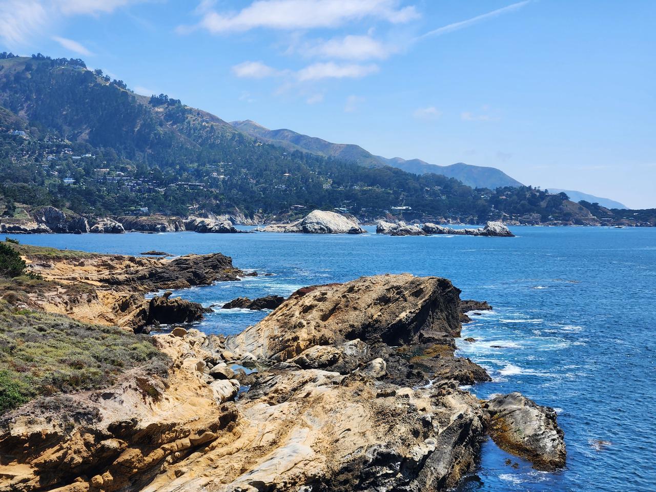
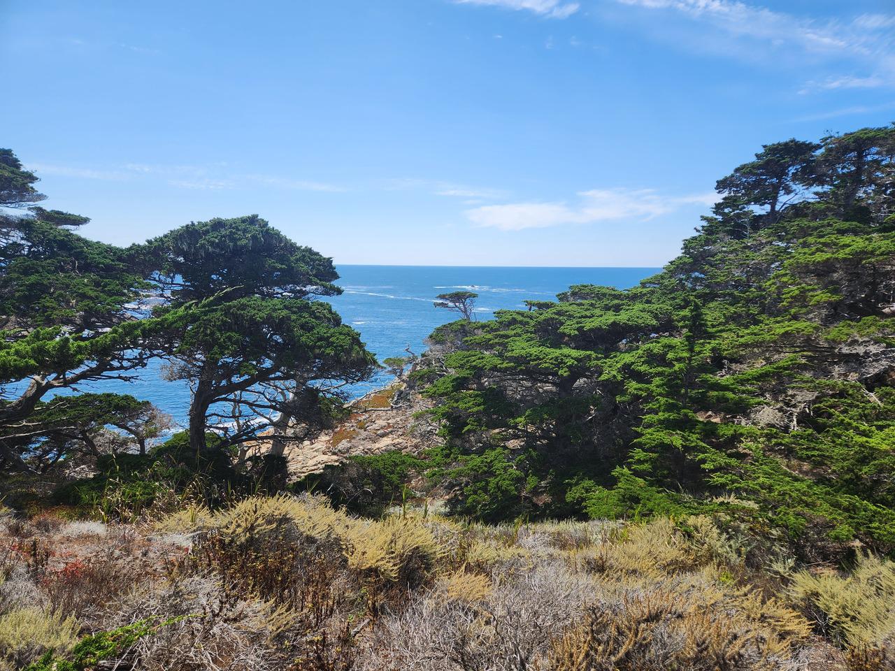
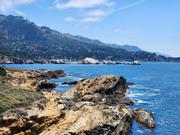
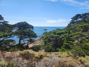
I bought something for lunch along the way at a service station, and kept going, skirting Monterrey to get onto Highway 1 southbound. I came to Point Lobos State Natural Reserve, near a place called Carmel-By-The-Sea, which I think may be part of Monterrey, and turned in to have a look. Parking was a bit scarce, but I found a spot and had lunch there, and a bit of a walk around. It was nice, but not very different from what we have here. There were signs warning of poison ivy, which I had heard about. Contact with it could cause painful rashes.

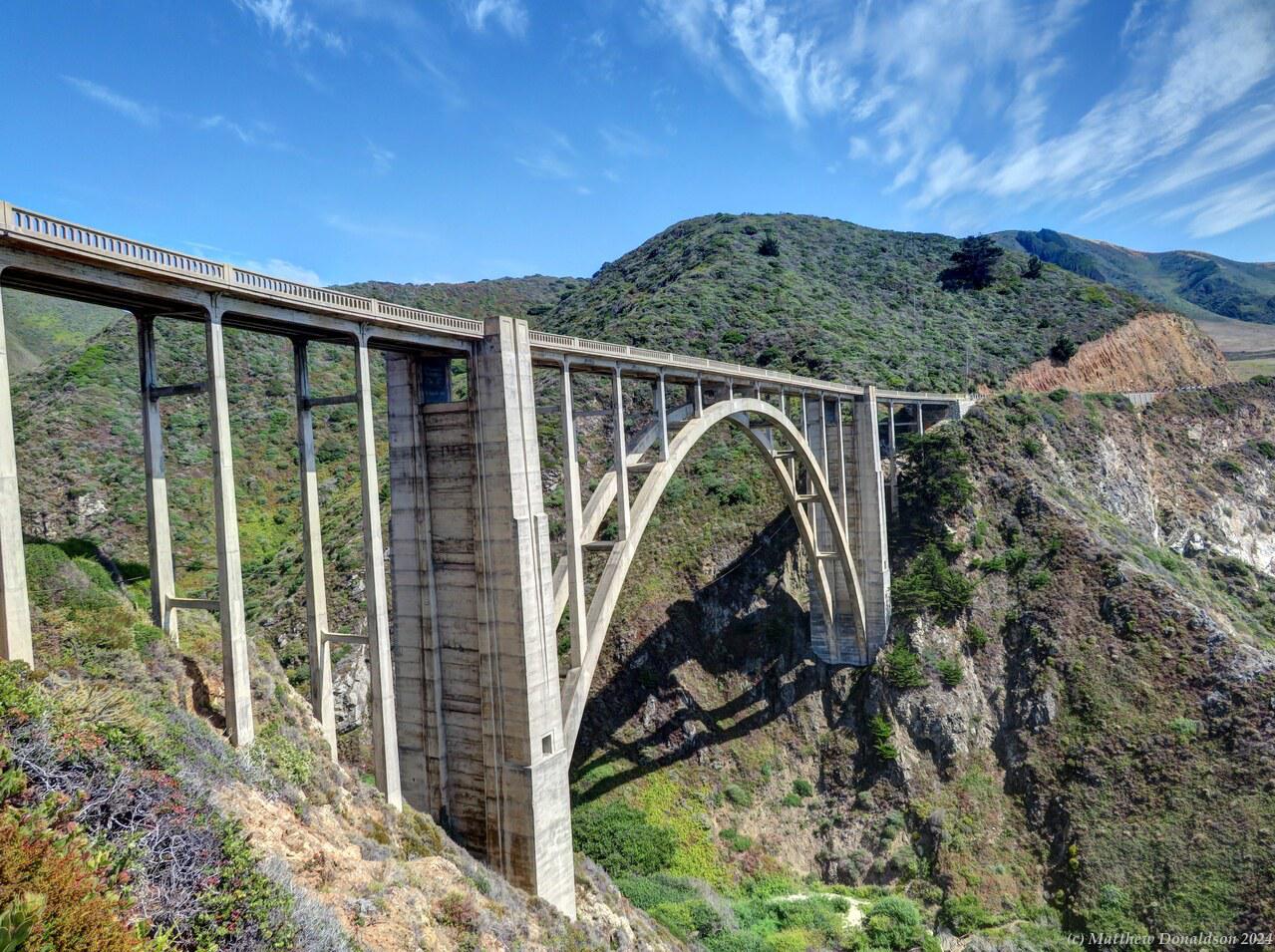
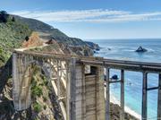
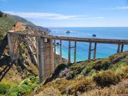
Bixby BridgeBixby Bridge

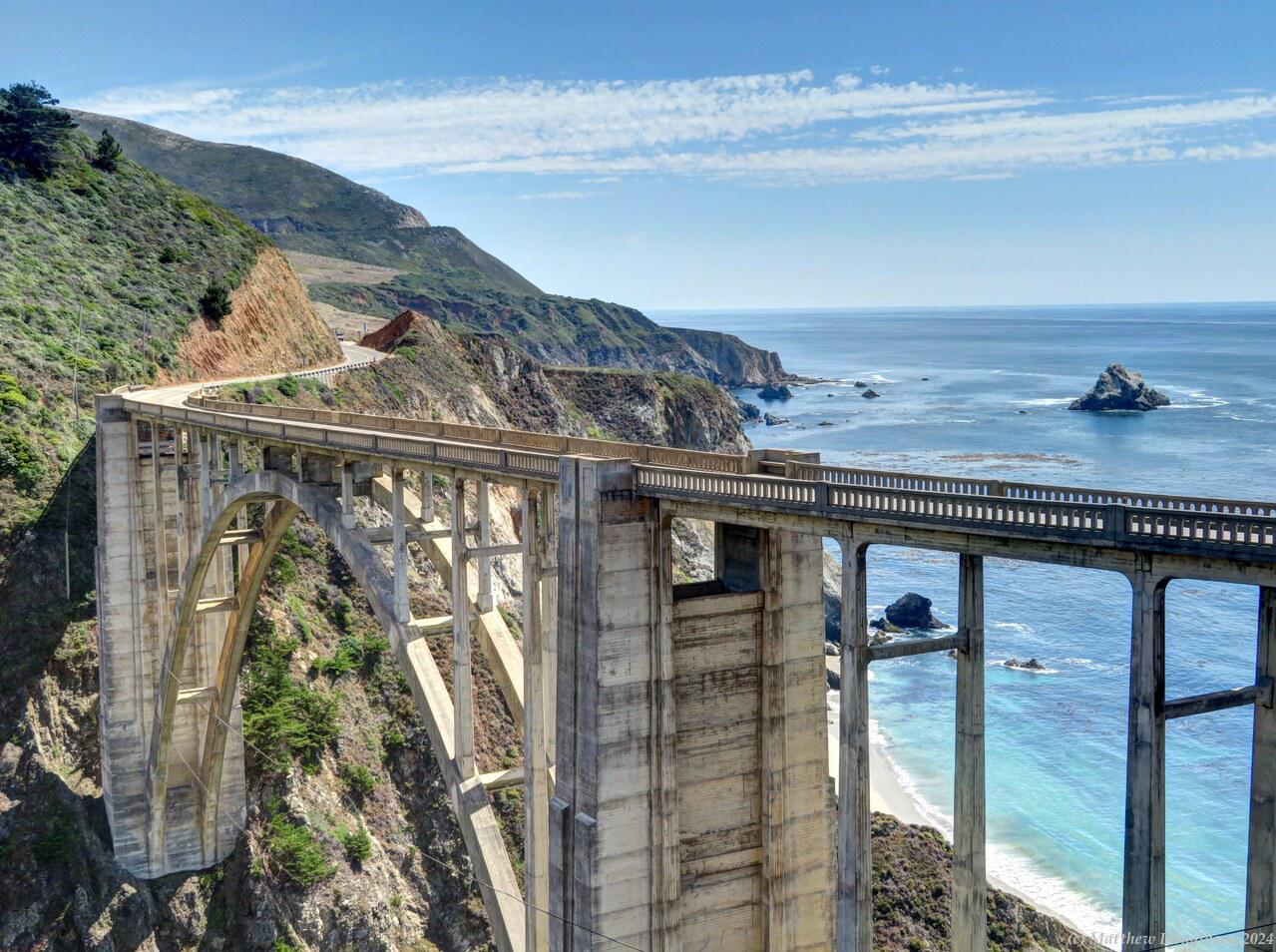
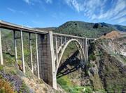
From there I headed further south to the famous Bixby Bridge. I found a spot to park in a pull-off near the bridge, and took lots of photos. There was a lookout spot on the other side of the road, and quite a few other people doing the same thing. I walked down to a place where I could get a better view, and when I was coming up, someone was asking me something, and addressed me as “sir”. This happened quite a bit in the US.

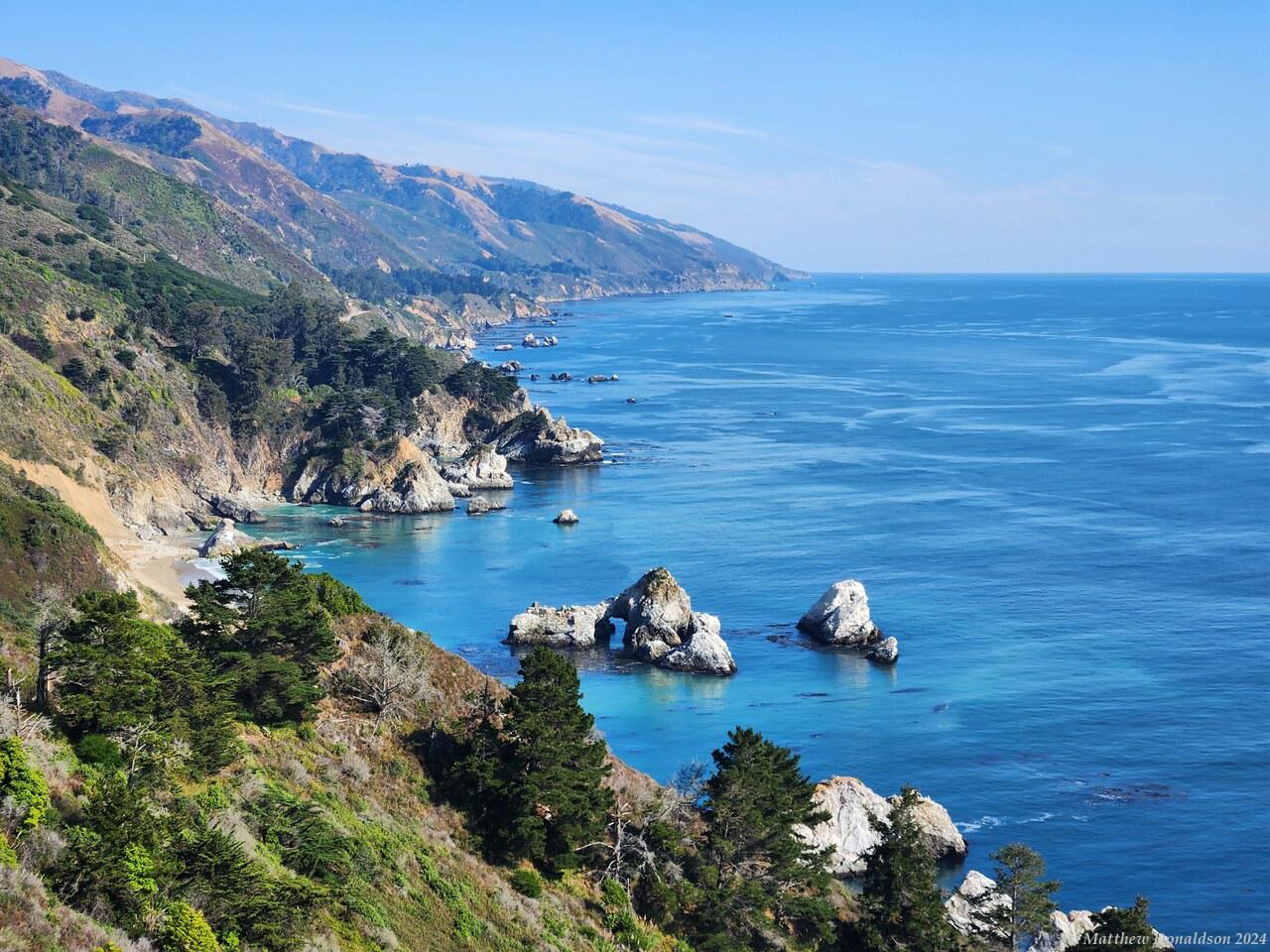
The road wound along the side of the hills by the coast with some great views, then turned inland for a while. I made my way down a tiny, rather windy narrow side road to Pfeiffer Beach, for a quick look. But they wanted money to get in, something like $15, and they said it wasn't a particularly impressive beach – it was just special because it was one of the only places you could actually access the beach along the coast there. It wasn't worth it for just a quick look which would have been all I had time for.

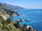
I got back to the main road, and before long it started getting near the coast again. After stopping at a couple more lookout points, I came to Partington Cove, where there was a walk down a slope through a gorge leading to the cove. The first part of the walk was in direct sunlight and pretty warm, but it wound down into a rather nice forested area with a little stream going through the gorge and out to the sea. The cove itself was quite small and rocky, with the tiniest bit of sand, and towering cliffs on either side. There were a few people sitting on rocks enjoying the sun.

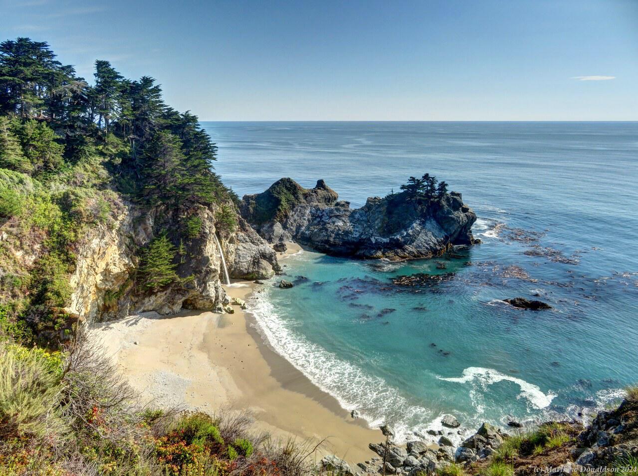
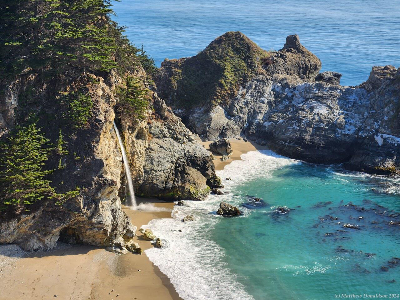
McWay FallsMcWay Falls

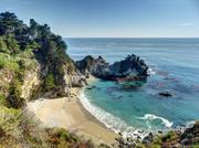
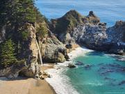
A little further along was McWay Falls, which has a beach with a waterfall going directly into it. A short walk along the top of steep cliffs led to a good viewpoint of the small sheltered beach. You couldn't get down to the beach, but it was nice to see. It was about quarter past five by this time, and time had run out, as I had about two and a half hours of driving to get to my destination near San Francisco.

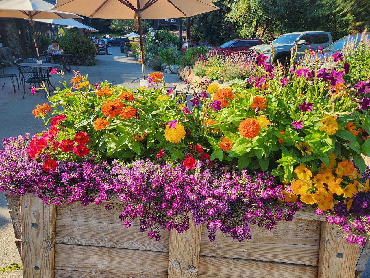
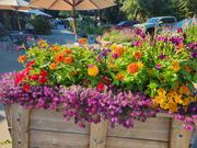
So I headed back the way I came. I was doing the speed limit but apparently that was way too slow for most people. I pulled off at one stage and quite a few people who had been behind me passed by, one tooting me! I stopped biefly to get something at a parking area next to the Big Sur River Inn near the Pfeiffer Beach turnoff, which also had a store, and lovely flowers out the front.

I was to stay with Ron, a coworker and friend, who lived in the town of Dublin, about 10km from the outskirts of San Francisco, and a fair distance from the centre of the city. He suggested that he order some tacos from a store in a town called Castroville near Monterrey, and then I collect them, since it was on my route to him. I was keen to try out authentic California tacos. He said he’d got tacos there a number of times when he was in the area, and they were excellent.

I had pulled over on the highway shoulder to read his message and ring him, which I’m not sure if I was supposed to do, though there weren’t signs saying not to as far as I could see. Getting back to speed quickly to get back into the traffic I discovered that the car was pretty powerful. I think it was a V8, and had an 8-speed auto transmission. I would have enjoyed driving such a powerful car more if it wasn’t my first time driving on the other side of the road in another country – it was a bit wasted on me under the circumstances!

There was some confusion when I got to the taco place, I think maybe he had ordered them in my name, and I was asking for an order for him, but we got it sorted out, and I went to pay for them, but found he had already paid. It was about an hour and a half drive from there to his place, along Highway 101, through San Jose and onto I-680, which went out to Dublin. I arrived around 8.30 or 8.45, after dark, and when we got there he heated everything up again, and we ate. The food was good indeed.

My case was too heavy for the weight limit of a single piece of luggage with Southwest Airlines, which I was using to fly to Phoenix the next day. Ron suggested packing some of it in a box, which was a great idea since I was allowed two pieces of luggage. I didn't know you could check in boxes. He had a scale which hooked onto an item and you then held it up, and we weighed the case to try and make sure it was under the limit of 50 lbs.

Image Gallery

Thursday August 17th

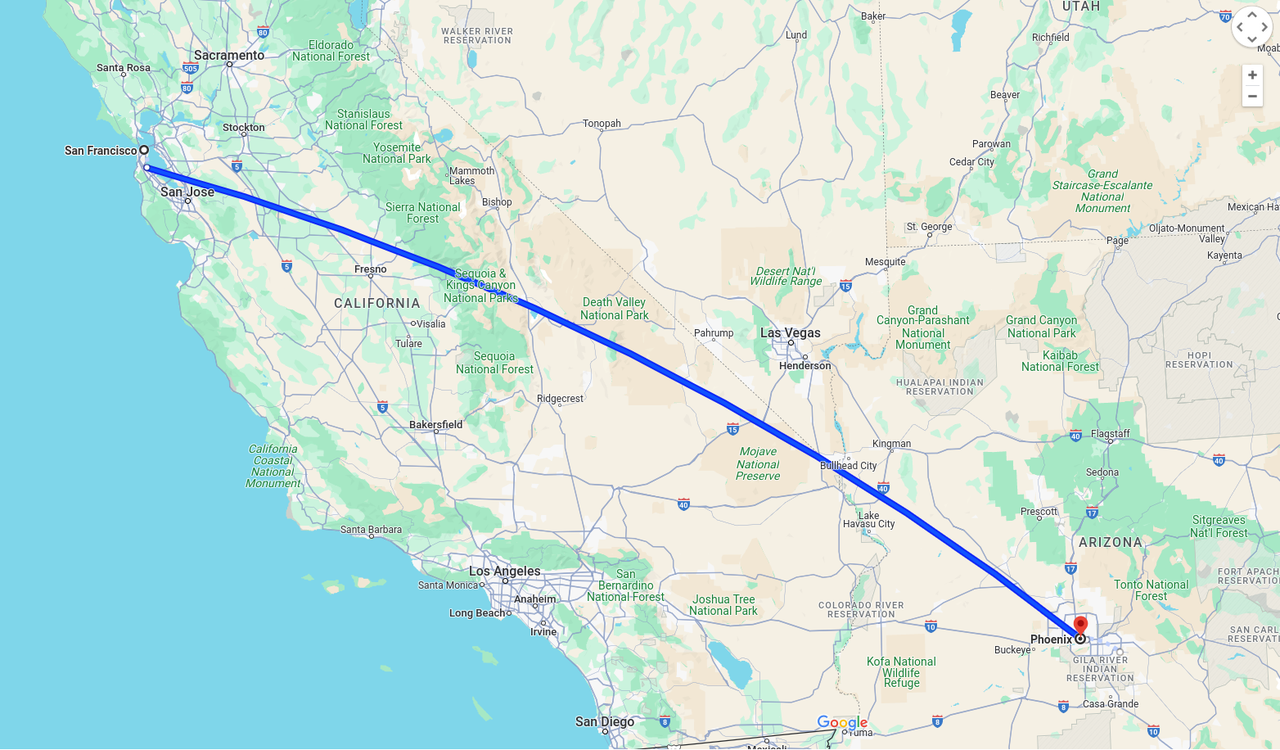
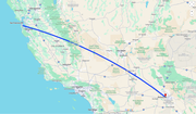
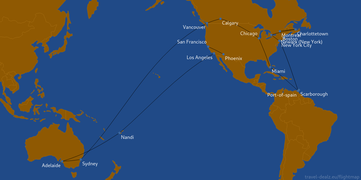
Flight routes for trip

I had struggled to pack all the things I wanted to take with me into my case, and get it closed, but succeeded at last. Given I was starting in the US summer, and ending in almost winter, I needed to bring a fair range of things, and I had a generous 30kg luggage allowance on the flight. My main case was 28kg, and very heavy to lift, and I had my backpack as well.

I started the journey, taking the taxi to the airport. First drama: I left my backpack in the back seat of the taxi! I tried to ring the taxi company and was redirected to someone's voicemail. Meanwhile the taxi was getting further and further away. Next try I was able to get a message to the taxi driver thank the Lord, and he returned, and was kind enough not to charge anything for the return trip.

I got into the terminal, deposited my luggage, and after getting passports sorted out, headed to the international lounge.

I had bought some US money in different denominations a few days before, and I thought I had left it at home, because I couldn’t find it. (I did finally find it in my luggage, a couple of days before I left for Australia!) There was an ATM at the international lounge which dispensed US currency, so I got a couple of hundred dollars there in 50s, at a rather unattractive exchange rate.

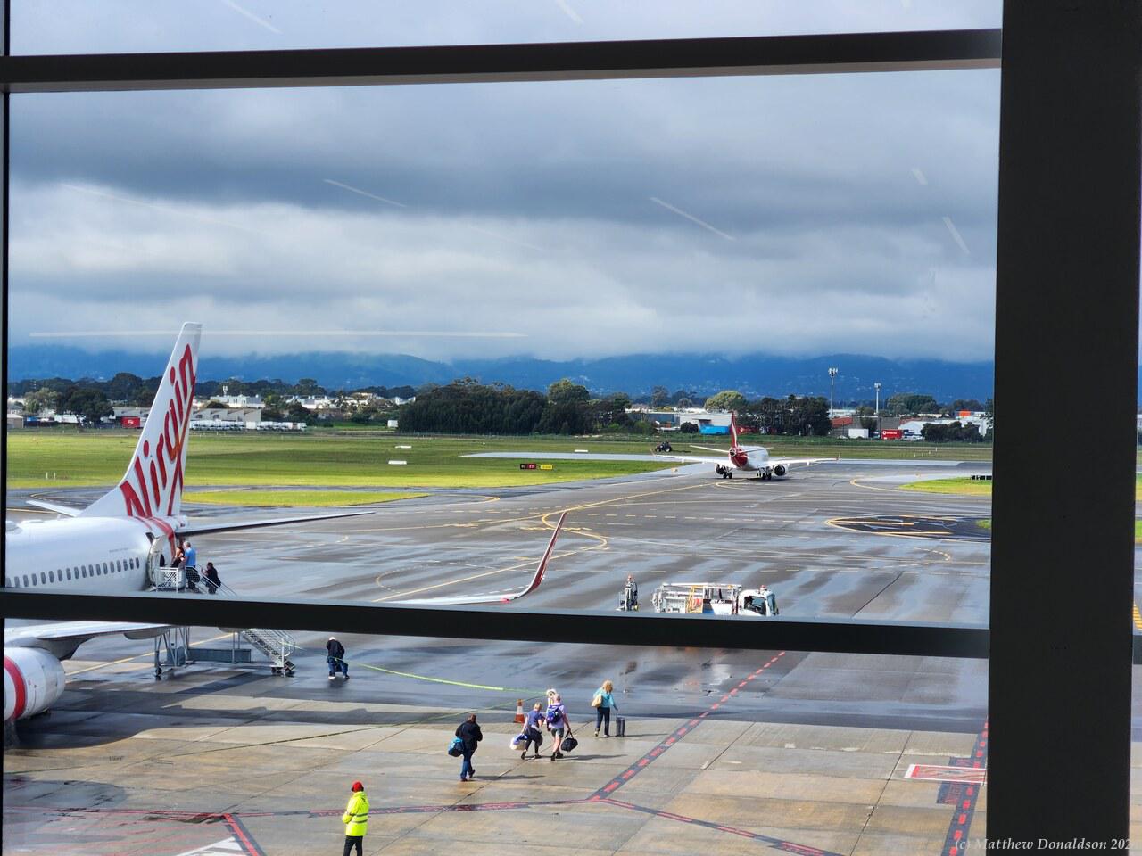
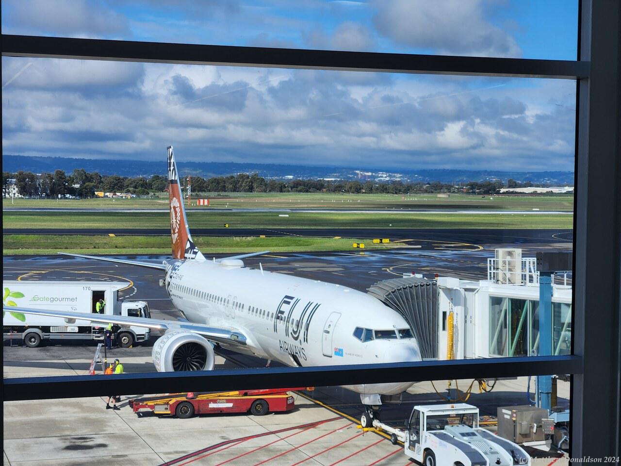
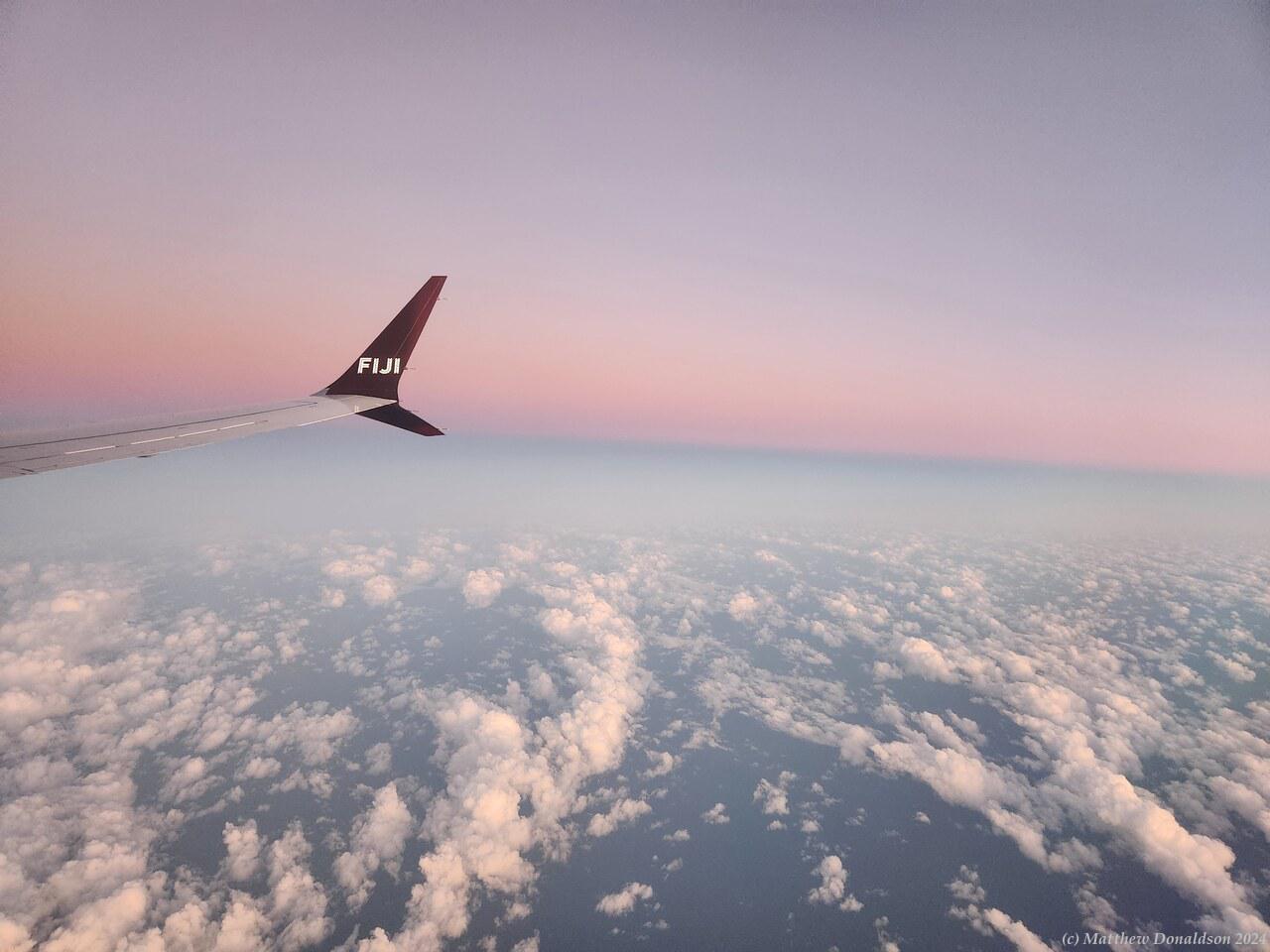
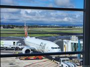
From there I boarded the four and a half hour Air New Zealand flight to Fiji. It was pretty empty – I had a row to myself. When I we boarded I found out we had to fill out a form for customs and I didn't have a pen, so I had to borrow one from a flight attendant. The flight was uneventful, first we went over South Australia and parts of NSW, then over the sea. It got dark quickly – the sun moved faster than normal as we headed east, and we got into Fiji after dark, around 8.15pm.

View from aircraft

We went through customs, which I think was just us handing our forms to someone, and going through, because we were only transiting, and we ended up in an international flight lounge area, with a lot of people, and a number of places to get food surrounding seating in the middle. I got some dinner at Burger King there, being glad that my debit card was working at the first international destination. I also bought a pen, for future forms that might need to be filled out. The international flight was code shared with four different airlines, from New Zealand, I think an Australian airline, British Airways and one other. People had come from a number of different places to Fiji to all make the flight to LA.

I managed to cut myself while fishing something out of my pocket, and it bled quite a bit. It turns out it was the passport protectors I’d bought. Advice was to always have your passports on you, and not leave them anywhere, so I’d bought some sleeves to protect them. These worked well, but they were quite sharp at the beginning, and liable to cut you if you were feeling around in your pocket the wrong way.

I boarded the 10 hour flight to LA around 9.40pm and we got going. We were served dinner there too but it was much later, so that worked out well. I had the window seat and there were a nice couple beside me. We chatted a bit, and they told me about being able to turn right on a red light in the US. I think they had been tooted for not knowing that and waiting to turn, or knew people who had. I tried to sleep, but every time I nodded off I came to with a start for some reason.

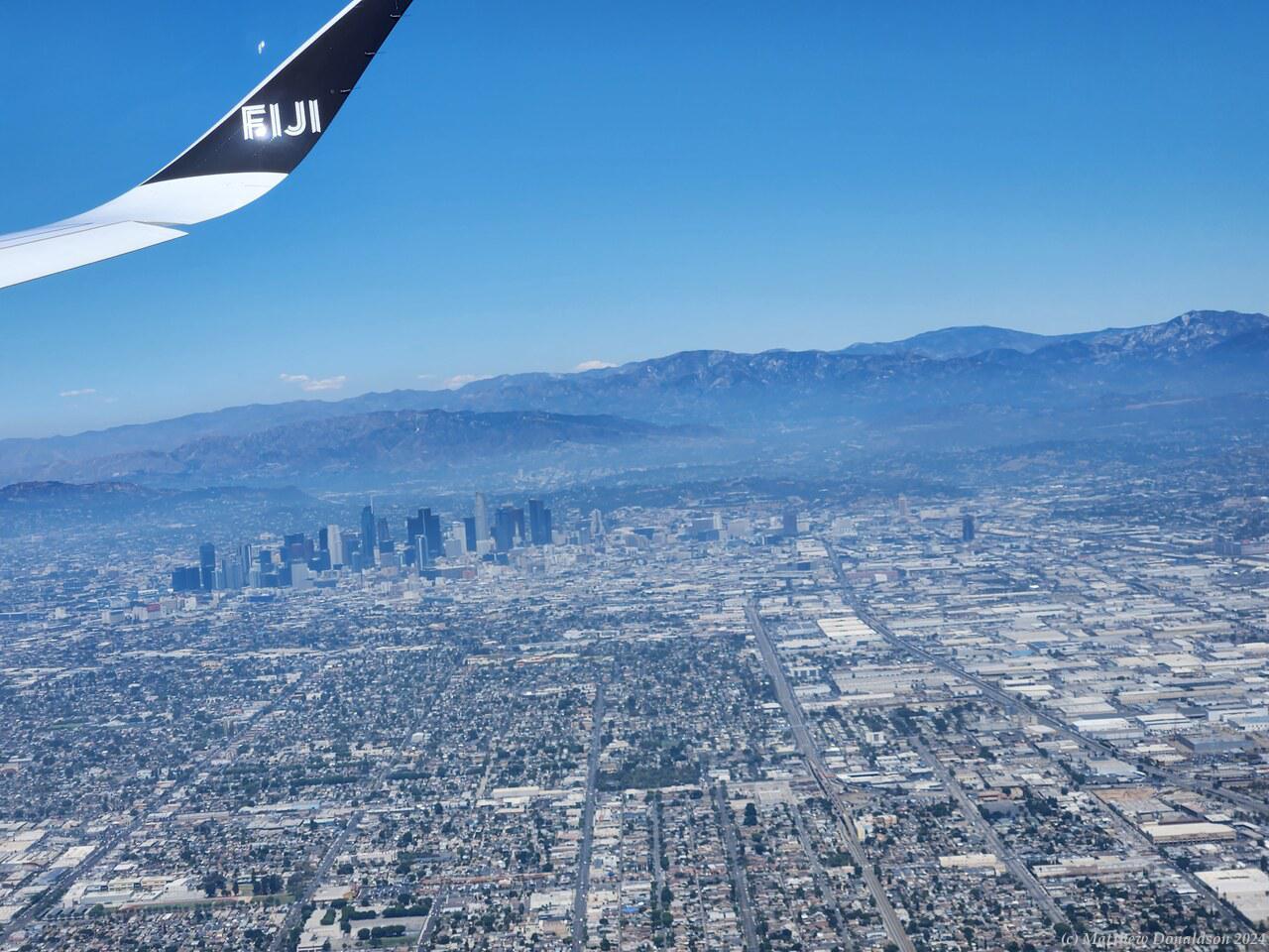
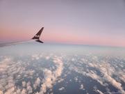
After a while it got light, and I saw the sunrise over the sea. The process of serving breakfast began. It was a large plane, and it took maybe an hour and a half to serve everyone. I was near the back, and was wondering if I’d get fed before we landed! I did get breakfast in the end, and saw some good views of Los Angeles and the mountains beyond, as we came in to land, towards 1pm. The people next to me had pretty much stayed put the whole flight, and I didn't need to go, but I went at the last before touchdown. This turned out to be a good idea because it was a 20 minute walk through labyrinths in the airport to get to the line to wait for customs, then it took an hour and a half to get to the front of the line.

View of Los Angeles from the air

While I was waiting I decided to get my phone sorted out. According to Telstra my phone would automatically start roaming and switch to a plan that was $10 per day, if I turned on international roaming. This would mount up over the trip, but I had planned to buy a sim from AT&T in Phoenix a few days later, rather than using roaming the whole time. I had roaming turned on, but no roaming was happening.

In the Telstra app I found that I could buy a roaming pack, and once I’d bought that, roaming did start working, which was a relief. Apparently it was a different plan that had the automatic switch to a roaming plan. The roaming packs were a good deal cheaper than the $10/day automatic plans, and this turned out to be helpful.

When I did finally get to one of the customs desks, I got a man who had lived in Adelaide, and we had a little chat. By the time I got to the luggage collection, all the luggage had been taken off the carousel (probably a long while before) and placed in groups here and there. I hunted around and eventually found my luggage. I asked where the hire car place was – I was expecting it to be in the airport, but I found out I had to walk with my luggage to a spot where there was shuttle bus to get to the hire car place.

On and on I walked along the road outside the terminal, and ducked into a Starbucks to get some water. I wasn’t sure if I was on the right track, and asked someone where it was, and he didn’t understand me, maybe because of my accent, and I think I called it a car hire and they called it rental cars or something, but we worked it out, and he told me it was further on. After about 20 minutes of walking I found the bus stop and got on. I think the bus was right there and I didn’t have to wait long for it to leave. It looked so strange to have the bus driver sitting on the left.

It took maybe 15 minutes to get to the car hire place. Once I was there, I joined the line for people who had booked their cars already, and was called by an African American lady who called me honey and said we would have a short date! She was very sympathetic to my troubles, and suggested a nicer car, first a Tesla, then (since I wasn’t keen on my first drive in the US being an electric car – sticking with what I knew seemed safer), a Genesis, which I hadn’t heard of before. I think in my state of 24 hours without sleep, my brain was working slowly, and I was thinking it might be the same price. She offered it for only half the usual extra, which was still an extra $100 a day, but I think by that time I was too tired to do anything but go with the flow!

The car looked quite fancy, and it felt so strange to sit on the left-hand side of the car. The rest of the car seemed to stretch in an expanse out to the right hand side. So, then I set out to drive on the right hand side of the road, starting from LAX. That was very scary. I nearly came to grief just getting out onto the main road, looking the wrong way for traffic. I had to keep trying to remember, keep right! After a while I realised that I was driving too far towards the edge of the road – sitting on that side, my judgement of where I was on the road was off. Once or twice that day I drove over a kerb getting into or out of a parking lot, because I was too far over.

There were some different road rules, and even with GPS navigation I kept taking the wrong turns and ending up on some random freeway which was then hard to get off again, or finding the lane I was travelling on suddenly turn into an exit from the freeway, channeling me away from where I wanted to go!

It didn’t help that the car navigation system was showing the list of directions to take starting with the next one at the bottom then later ones going up, which I didn’t realise for a while. Once or twice I ended up in the suburbs, and at one traffic light, people were stopped on the green while other cars were going through what I assumed was a red light. I wondered what on earth was happening, and was glad I wasn’t the first in line! Someone later suggested perhaps none of them knew what was going on either!

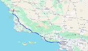
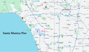
Somehow I avoided accidents, thank the Lord! I was heading for Santa Monica pier, which had been my first planned stop. I had planned several other stops, but with all the delays I ended up getting the car maybe three hours after I had hoped to, and then took ages to get to Santa Monica pier because of all the wrong turns! I just missed the turn-off to the pier, I spotted it just as I took a different wrong turn, but then it was too late, and I ended up on a highway along another part of the beach with a parking lot there. I pulled in there, and found there were road spikes stopping you from getting out in one place – you could only go in that way.

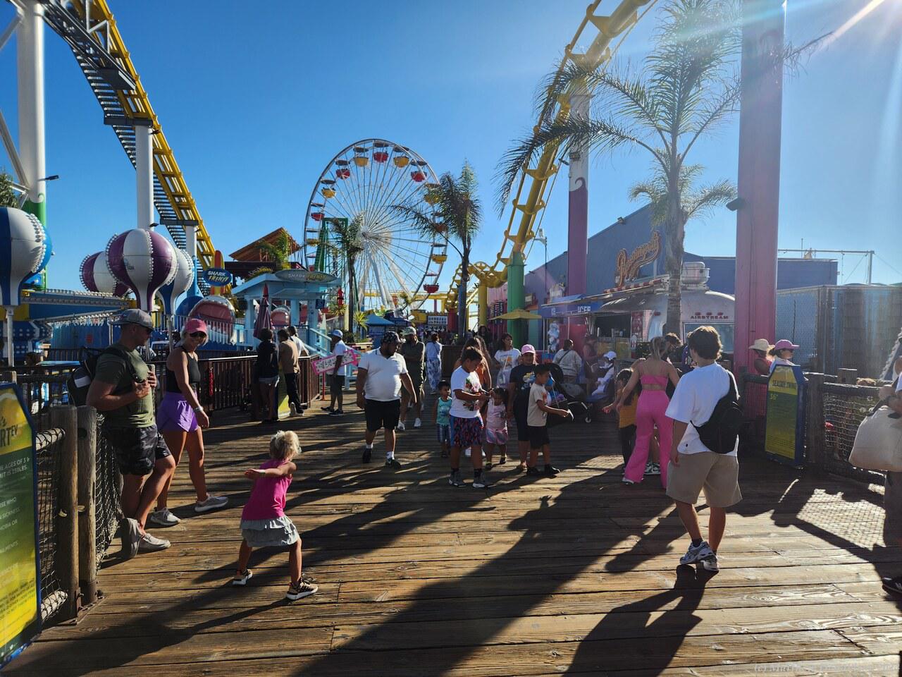
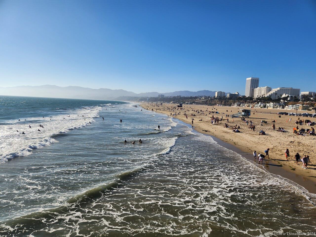
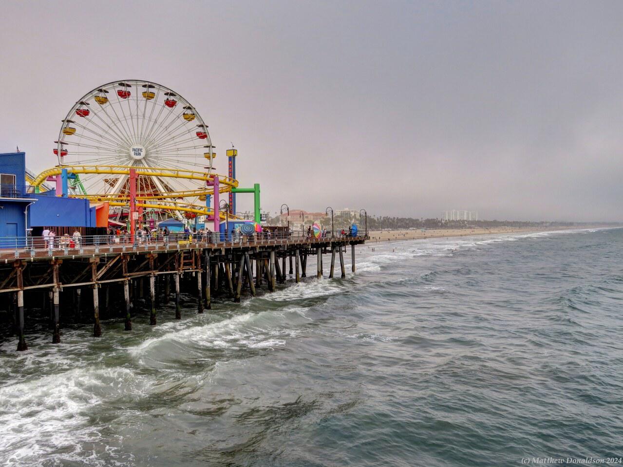
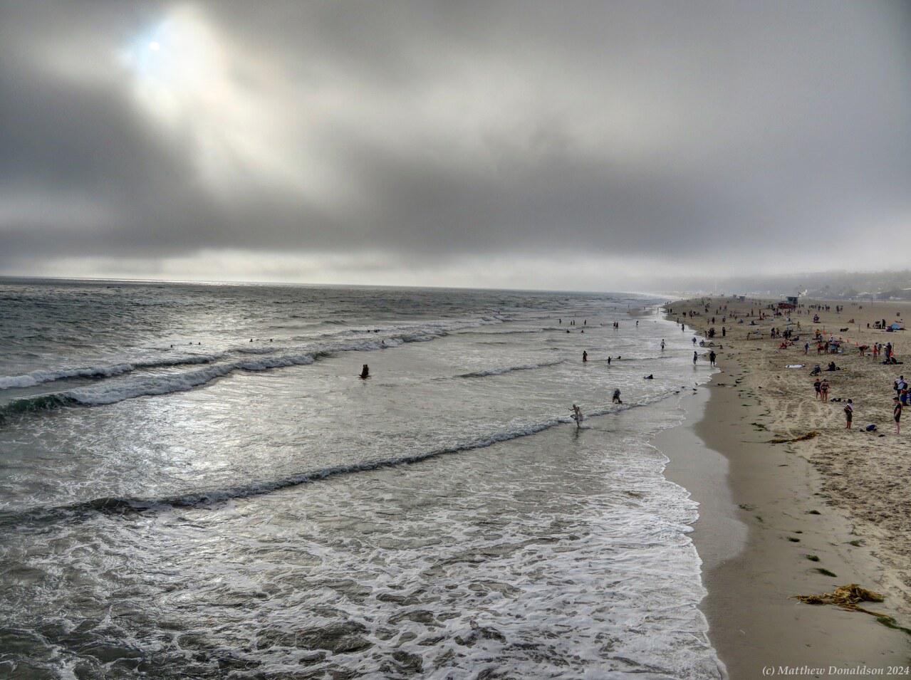
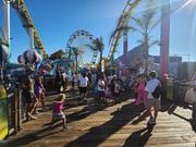
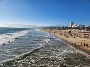
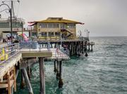
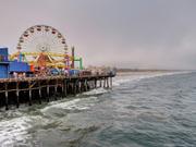
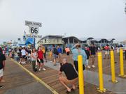
I debated just enjoying the beach there, and then going on, but I thought it would be nice to see the actual pier, so I turned left across the multiple lanes of the highway to go back, and navigate to the actual entrance. I finally got to the pier, and there was space in the paid parking lot. The pier was a hive of activity, with lots of people, side shows and rides. The iconic Route 66 ended at the pier, and there were people taking photos of each other next to the sign. The beach next to it was very long and wide, with a lot of people all along it. It was pretty with the mountains sitting behind it.

Santa Monica PierSanta Monica Pier

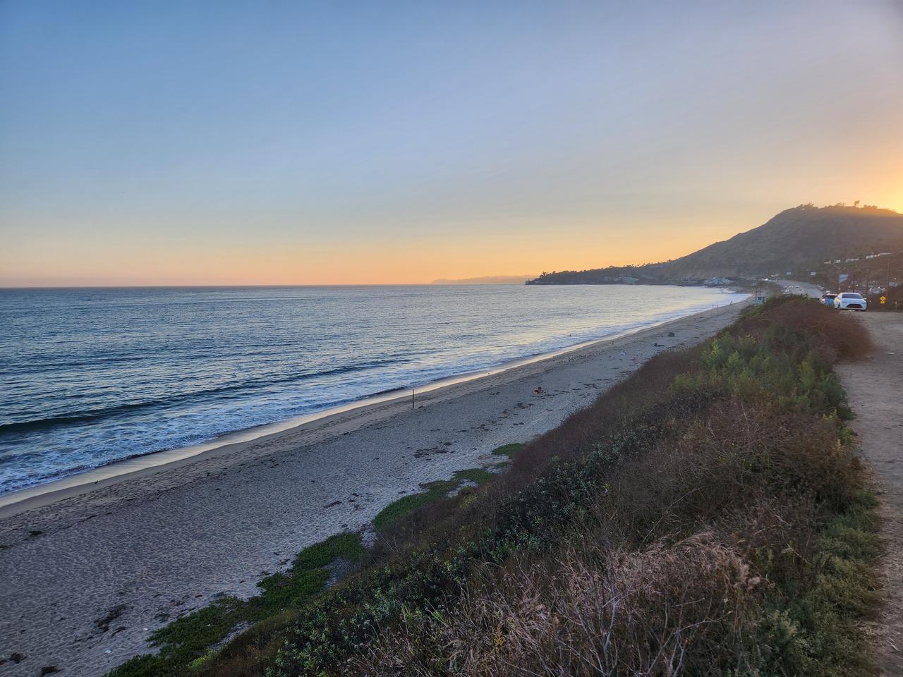
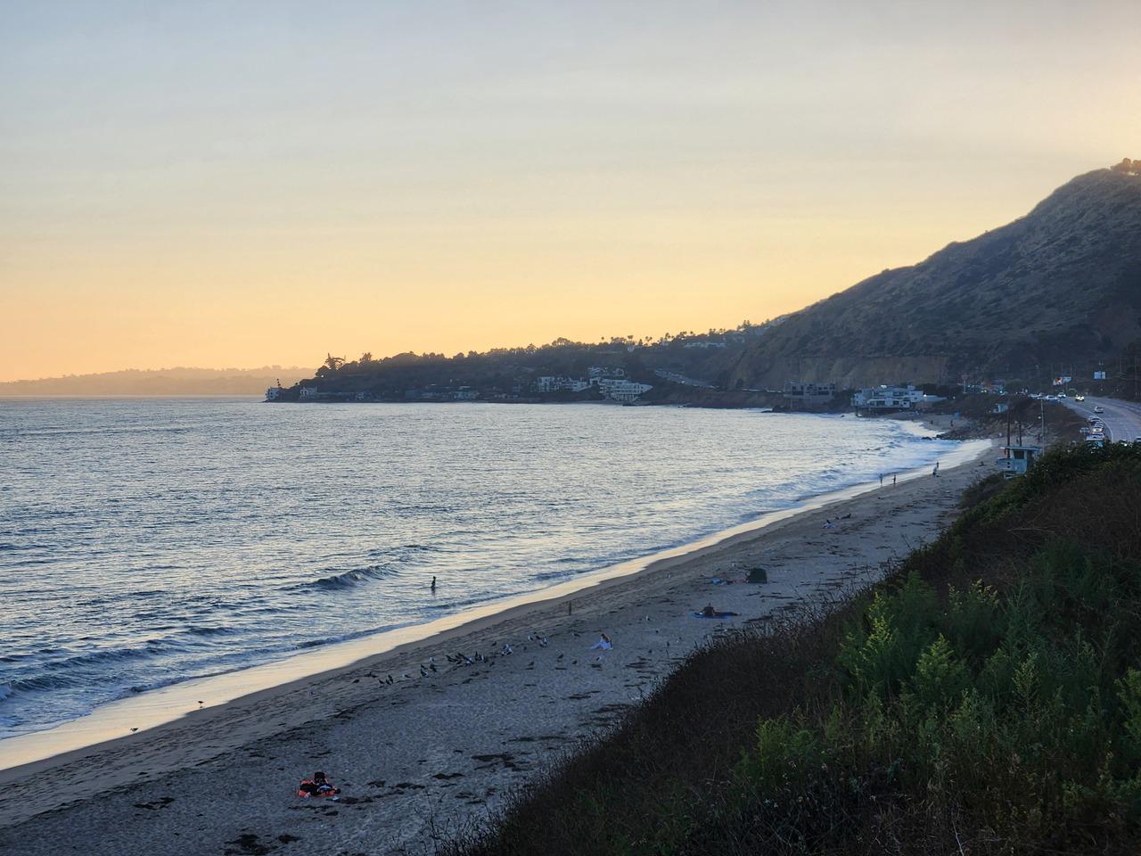
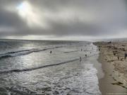
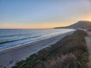
I got dinner at a kiosk on the pier and found a free table to eat it. It had been sunny, but mist came in quite suddenly after I’d finished eating. I left and paid for the parking, and from there I got onto Highway 1 which was just near the pier, and drove to Malibu beach. By that time it was near sunset. I drove along a suburban street which ran along near the foreshore, but with houses on the beach side. After driving for a while I found a spot where I could look at the beach itself. It was nice, but didn’t seem too special.

I drove back as it was getting dark, along the street again towards the highway, and wondered why another car was coming straight towards me in the distance. I realised that I was on the wrong side of the road! It wasn’t so bad when there was traffic around, because I just followed everyone else, but harder to remember when there weren’t other cars around. I quickly switched over, thankfully we were both going fairly slowly and the other car was still a fair way away.

I still had about three hours of driving to get to San Luis Obispo where I had booked a B&B. From about 6 I had been trying to ring and email the B&B but was getting no answer, so all I could do was drive there. That was a memorable drive. After about 30 hours without sleep by that time, I wasn't in danger of falling asleep so much as just losing focus. I had thought when I planned this part of the trip that I would be leaving much earlier, and could take my time a bit and stop for a quick nap here and there if I needed to, but it didn’t work out that way. I did the trip in 5 mile blocks: I thought, I can do the next 5 miles, then ticked it off, and started in on the next 5 miles.

I discovered that speed limits in America were very loosely adhered to. People would flash by, doing maybe even 50km/h above the speed limit, which meant you needed to be rather vigilant when changing lanes! There were sections of the highway where there were roadworks, and they had concrete barriers right next to the road with traffic cones on the other side, and while I was still getting used to where I was in the lane, and tending to drive too far to the left, I was paranoid I was going to scrape the barrier. I did clip a traffic cone at one point. When I returned the car, the running board on one side was rather black, with some orange scrape marks on it, which I think may have come from the traffic cone. I was thankful to have bought the option to cover any damage.

There were two accidents near me while I was driving. The car in front of me ran into the car in front of them, and then there was a police car just getting to a very recent accident, who then directed us by. I didn’t see any rest stops where I could pull off and take a quick nap. I tried heading off on one of the exits, but there didn’t seem to be anywhere I could stop by the side of the road, and I was only getting later. I was still hoping to be able to get to the B&B in time for someone to be awake.

I finally made it, with the Lord's help, and got to the B&B about 11, and no one answered the door. There were a couple of phone numbers posted on the door or wall, but neither of the them answered either. To this day I don't know what happened. So sleeping in the car was looking like a definite possibility. There were a couple of motels near the B&B and I rang one and they had no rooms. The other had a night bell which I pressed, and someone came out, and yes they had a room, thank the Lord.

The card the man gave me to get in didn’t work, and I had to get another one, which got me in. The room smelt a bit of stale cigarette smoke, and at 4am someone was banging on someone's door telling them to open up or they'd call the sheriff, for about 20 minutes, but it was definitely better than sleeping in the car!

When I went to the bathroom, the water in the toilet was much higher than I was expecting, and I wondered if it was blocked up, but then I had a vague memory that in the US they did have higher water levels in the bowls than in Australia. I somewhat gingerly flushed it, and it turned out to be working fine.

Image Gallery

Introduction

This is the tale of my three-month visit to North America, with a brief stay in the Caribbean. It was a trip of a lifetime, covering 24 US states, 7 Canadian Provinces, driving 9,500 miles (15,000km) in a campervan, taking 17 flights, and staying in over 40 different places. I was blessed to be able to spend time with family and friends scattered across the countries, and visited many amazing national parks and other scenic spots.

It was about five months in the planning, first mapping out a route that took in the people and places I wanted to visit, deciding on appropriate transport, working out how far I would be able to get each day, then finding (and booking) places that had good reviews to stay at each night, and investigating scenic stops and hikes throughout the route. Being someone who likes things to be planned, I compiled a 42 page document with all this information in it!

I had considered flying to different places and hiring a car at each place to get to see some of the national parks, but some were not very close to airports, and it would have been a lot of getting and returning cars. In the end I decided on hiring a campervan to do a large part of the trip, starting a few days in, and going for about seven and a half weeks, mainly in the US, but also in parts of Canada. I had never travelled in a campervan before, but it proved to be an excellent experience.

Many places in the US are crowded, and booking some campsites, especially in national parks, had to be done many months in advance, sometimes at exact times, as some sold out in minutes or even seconds after bookings opened several months ahead. In the end I booked most campsites a long time before I left, which proved to be a good plan, as many were fully booked when I arrived. There were a few I tried to book in advance five or six months ahead, which I found I’d already missed out on, as they were booked out perhaps even a year in advance.

Even spending three months over there, I didn’t have time to drive everywhere in the van, and in a lot of the later part of the trip I was staying with family, so didn’t need the accommodation of the campervan any more. Also driving to the Caribbean would have involved getting wet! So I booked flights for the remainder of the trip, and arranged for hire of four cars in different places.

I had made a list of all the things that I would need while camping, and bought a few smaller items to take with me, planning on buying all the other things when I got there. The van I’d hired didn’t have a backing camera, and I didn’t fancy the idea of backing into campsites without one.

So I got a second hand GoPro on eBay (after one false start getting and returning a broken one), which could interface with my phone, and a magnetic holder so I could put it on the van when I was backing into a campsite or some tricky spot, and see what was going on via the phone. I also got a magnetic light to help with backing in the dark.

Departure date came, arriving very quickly toward the end, and my story starts from there.