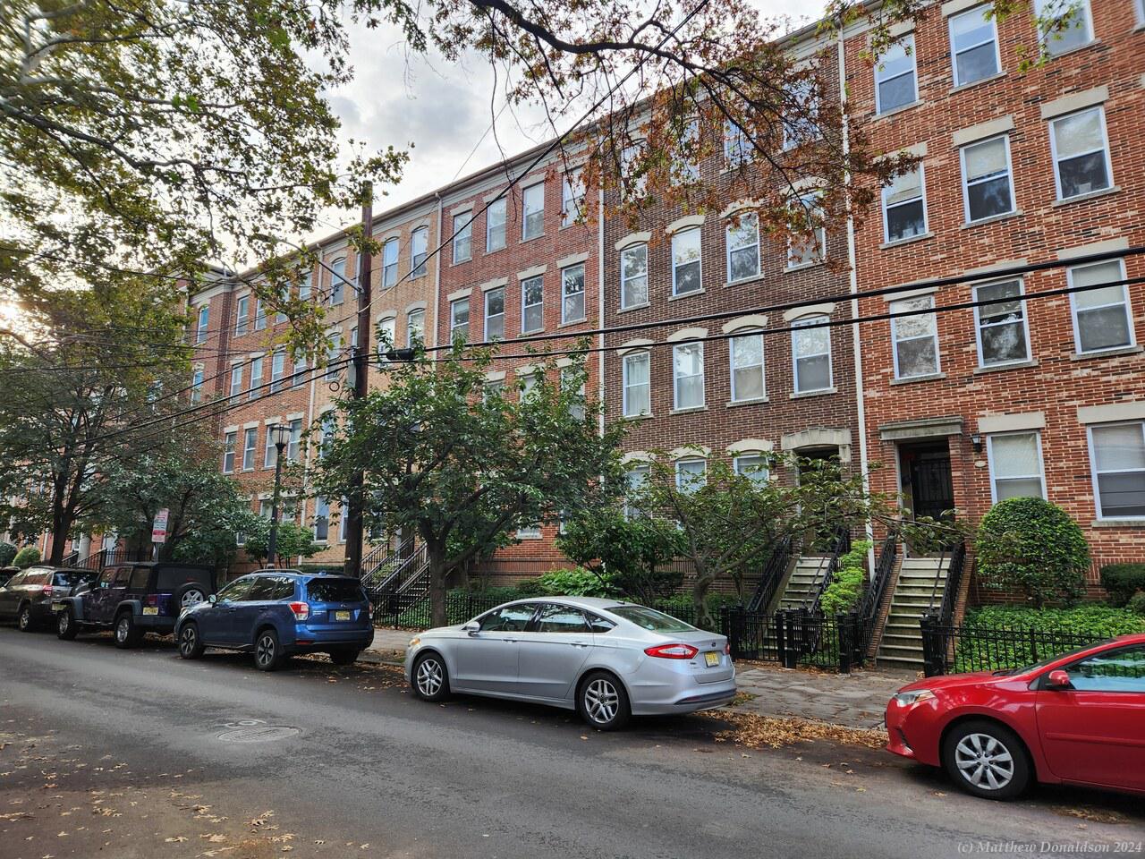
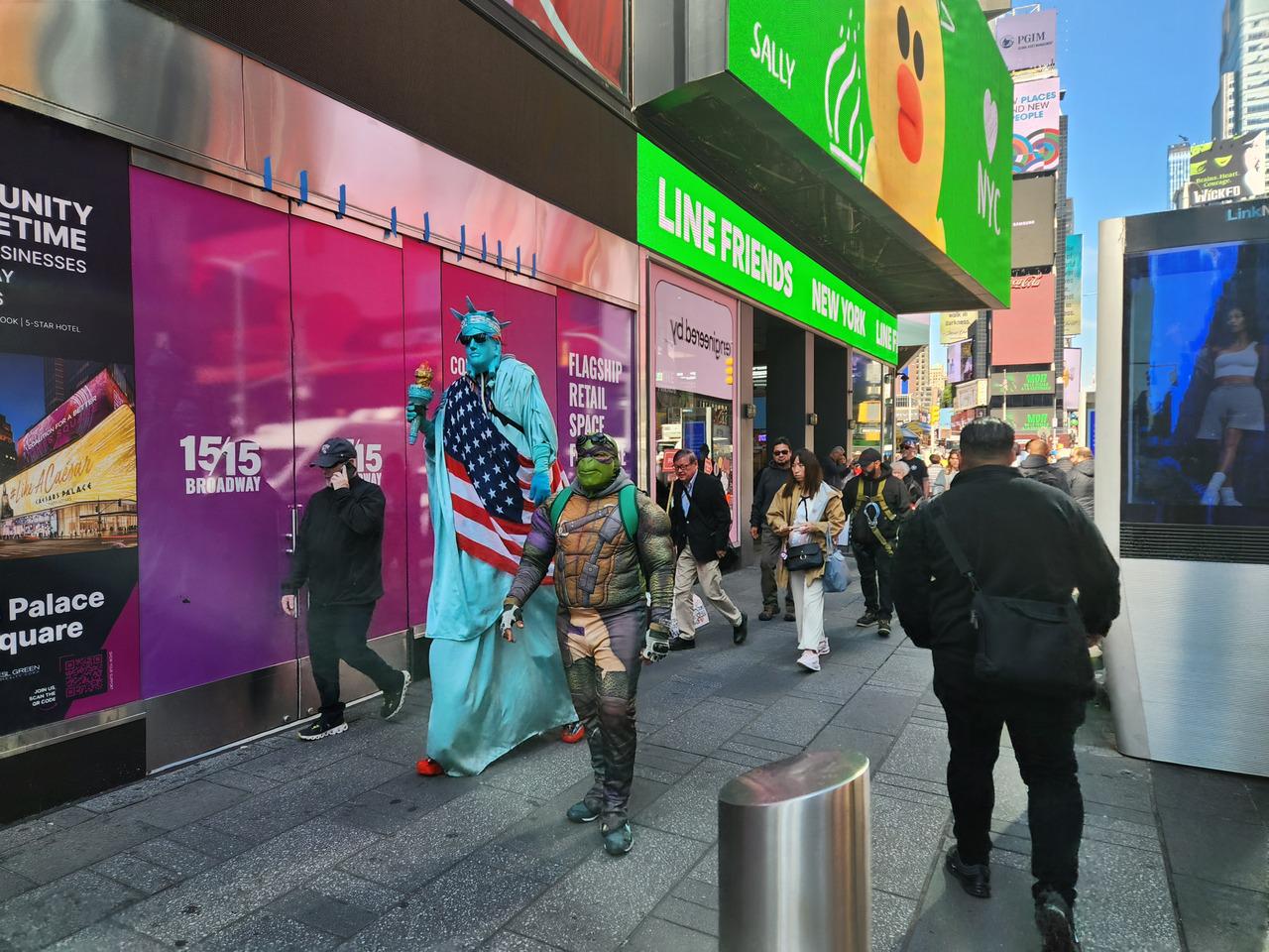
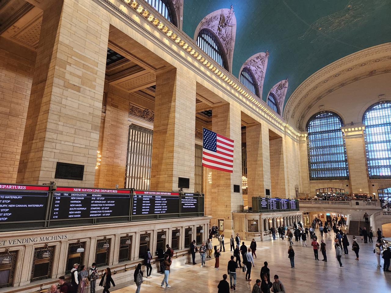
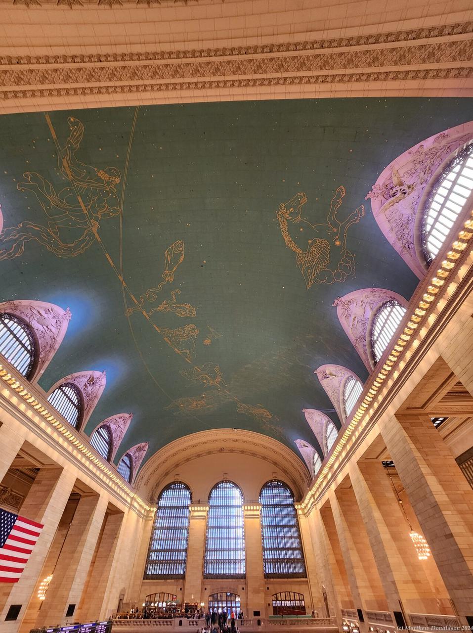
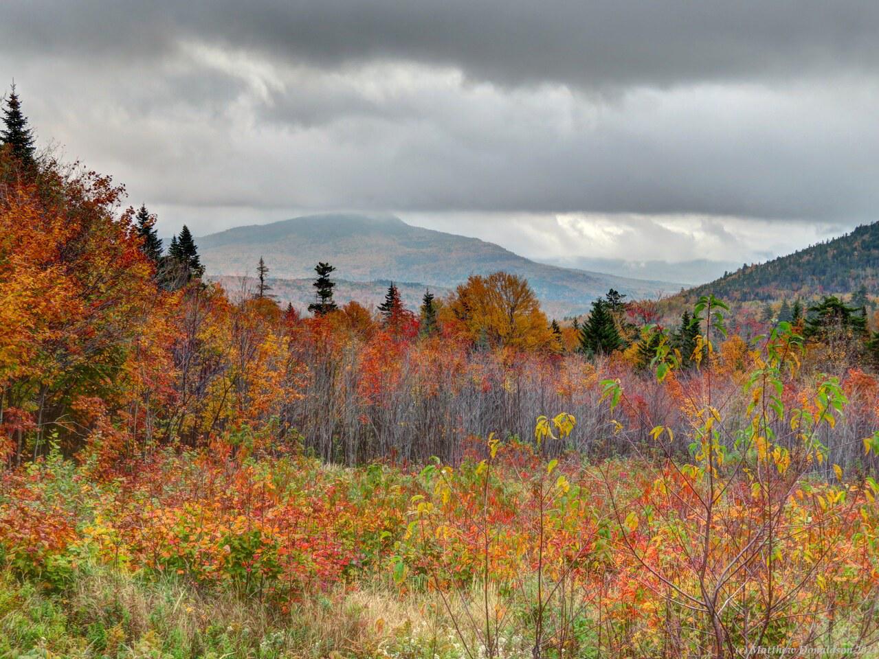
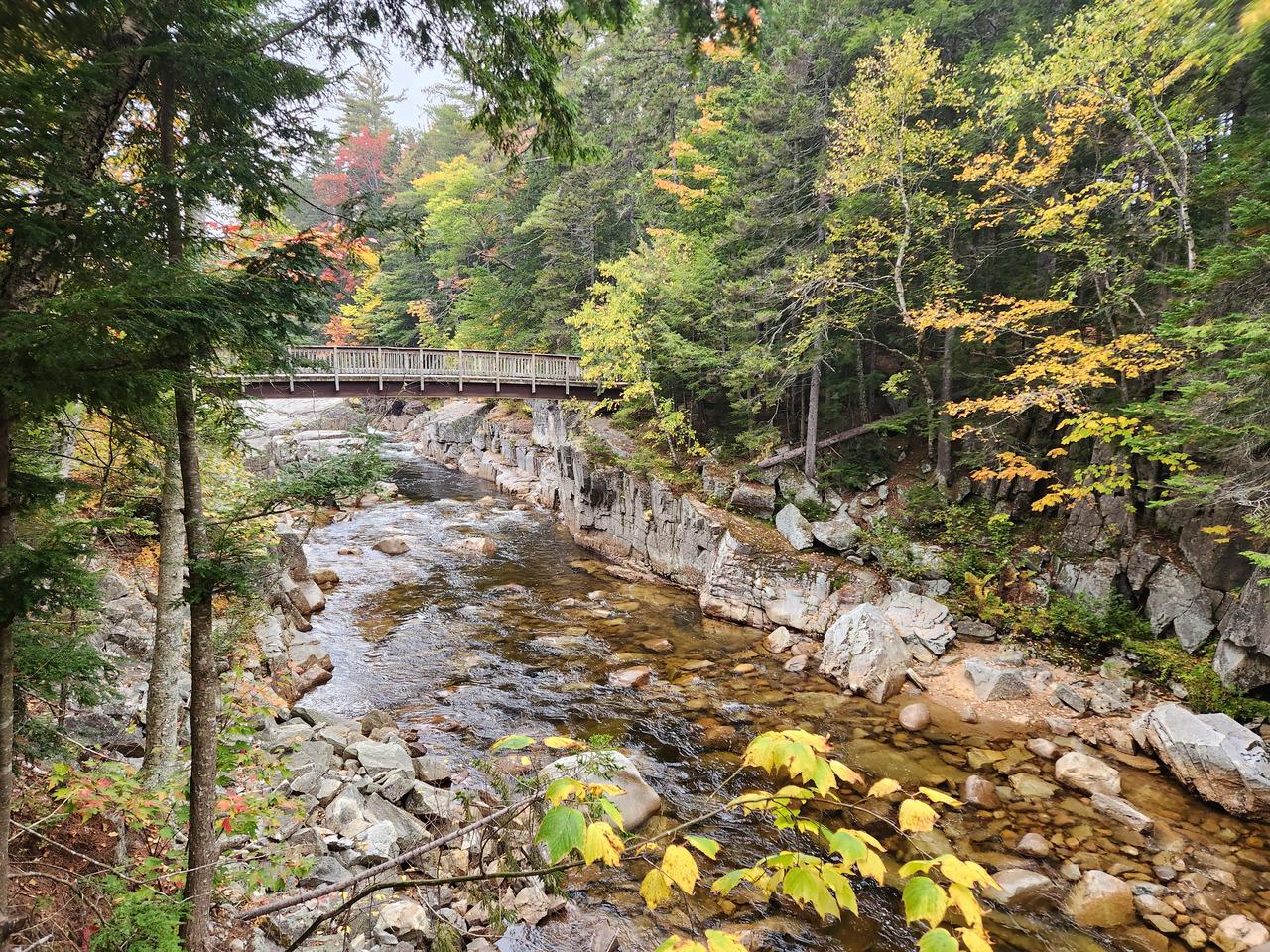
Wednesday October 11th
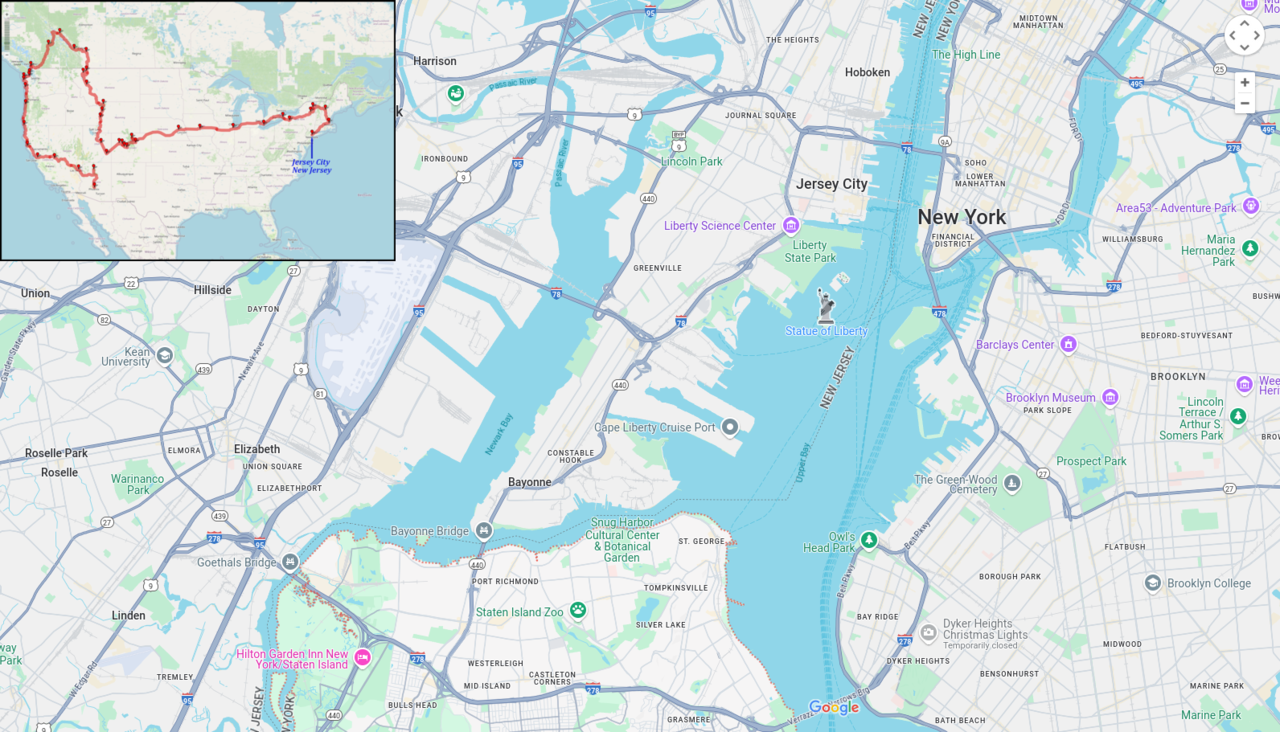
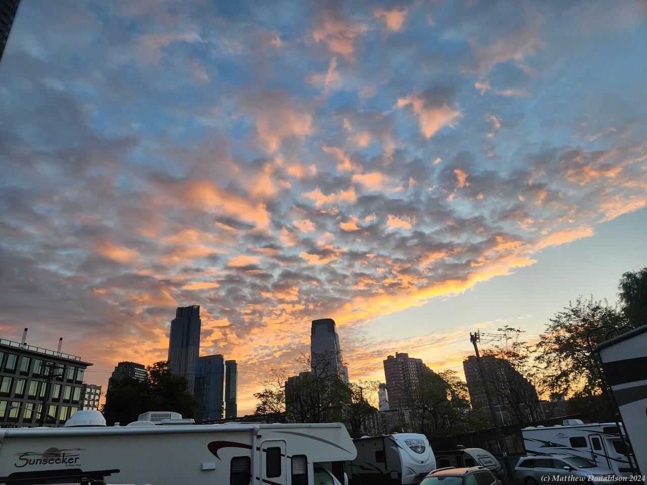
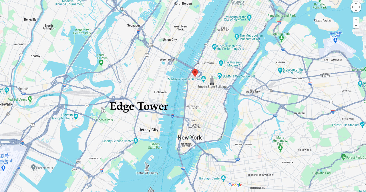
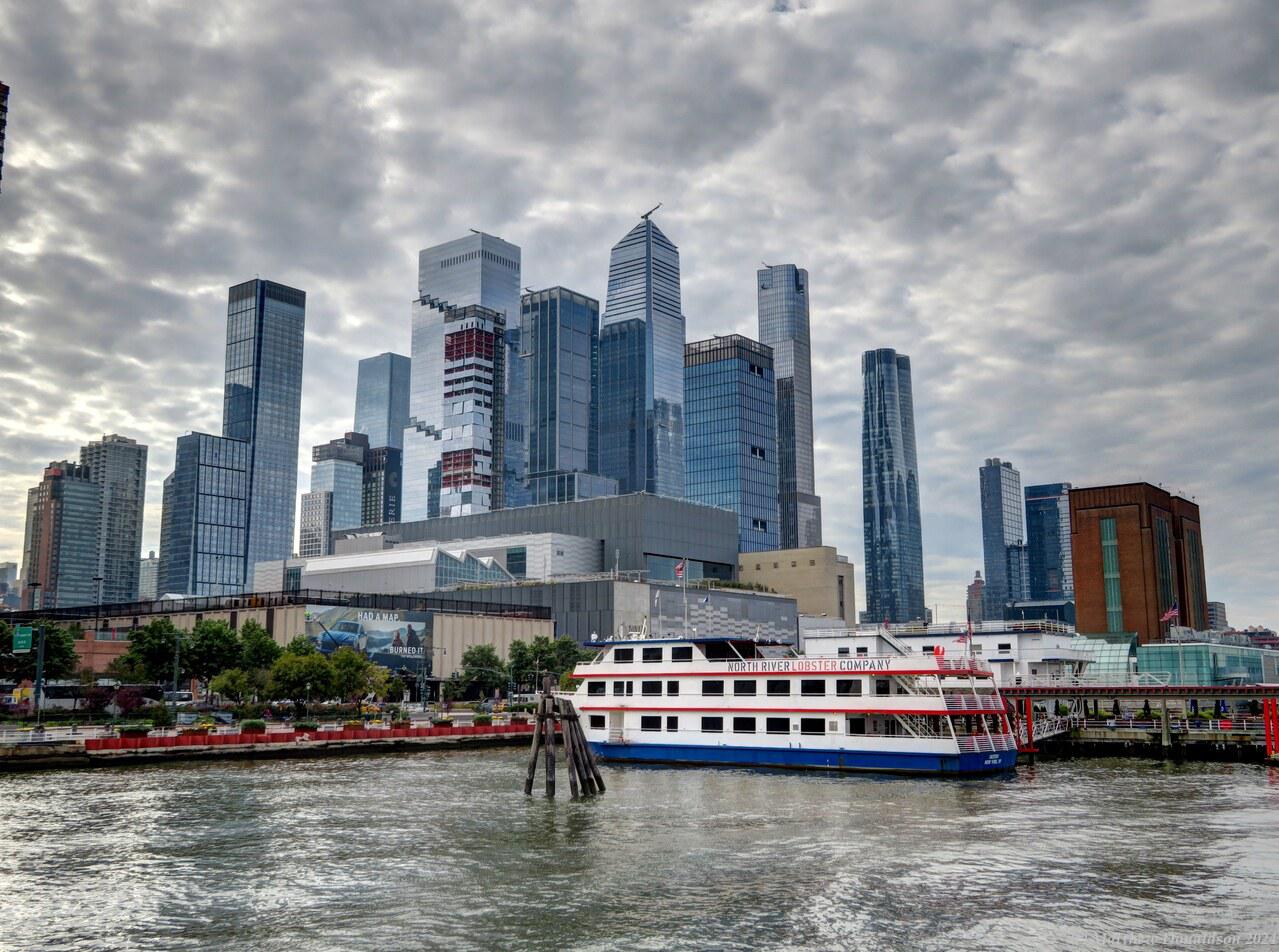
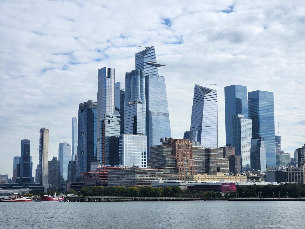
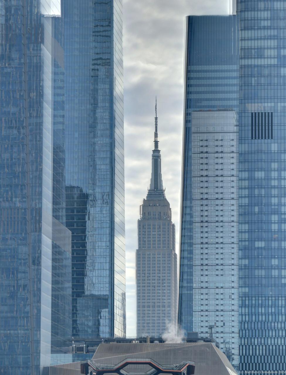
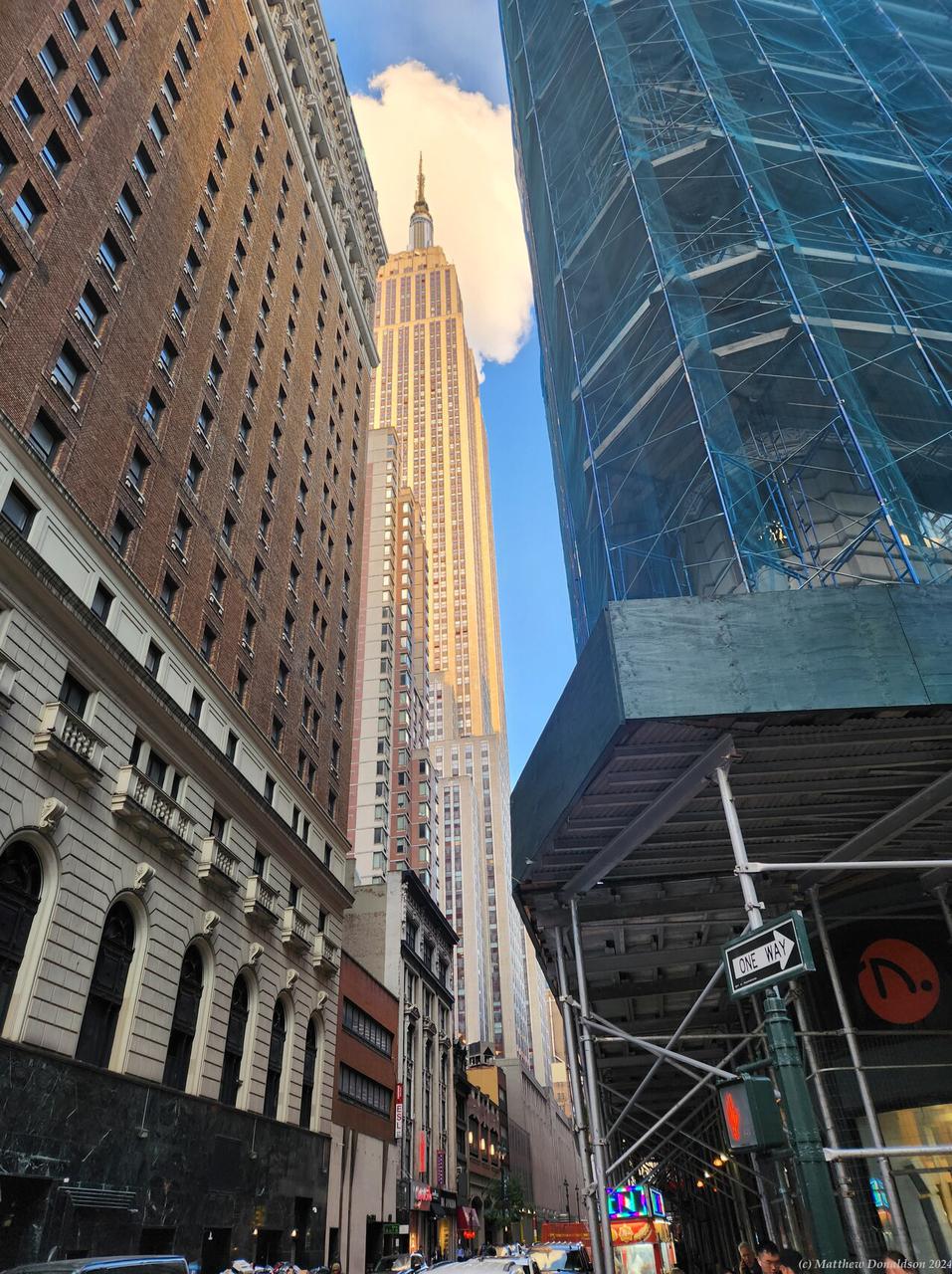
The day dawned with a lovely sunrise. One of the things I had wanted to do was to see the city from above, and there were three places you could do that. I had already ruled out the Rockefeller Centre. I think the Empire State Building was a bit booked out too, but there was a third option, the Edge, with an outside viewing area 100 storeys up, and it wasn’t booked out, so I booked for something like 10.15. I brought along a power bank this time, so that my phone wouldn’t run out of battery.

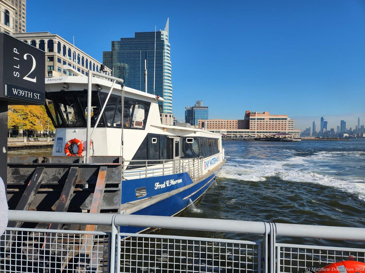
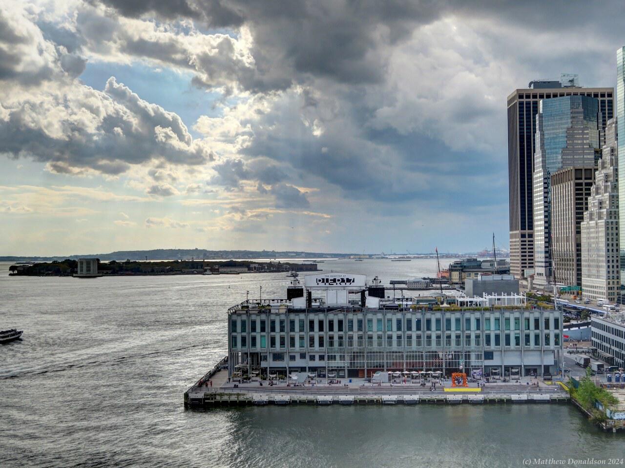
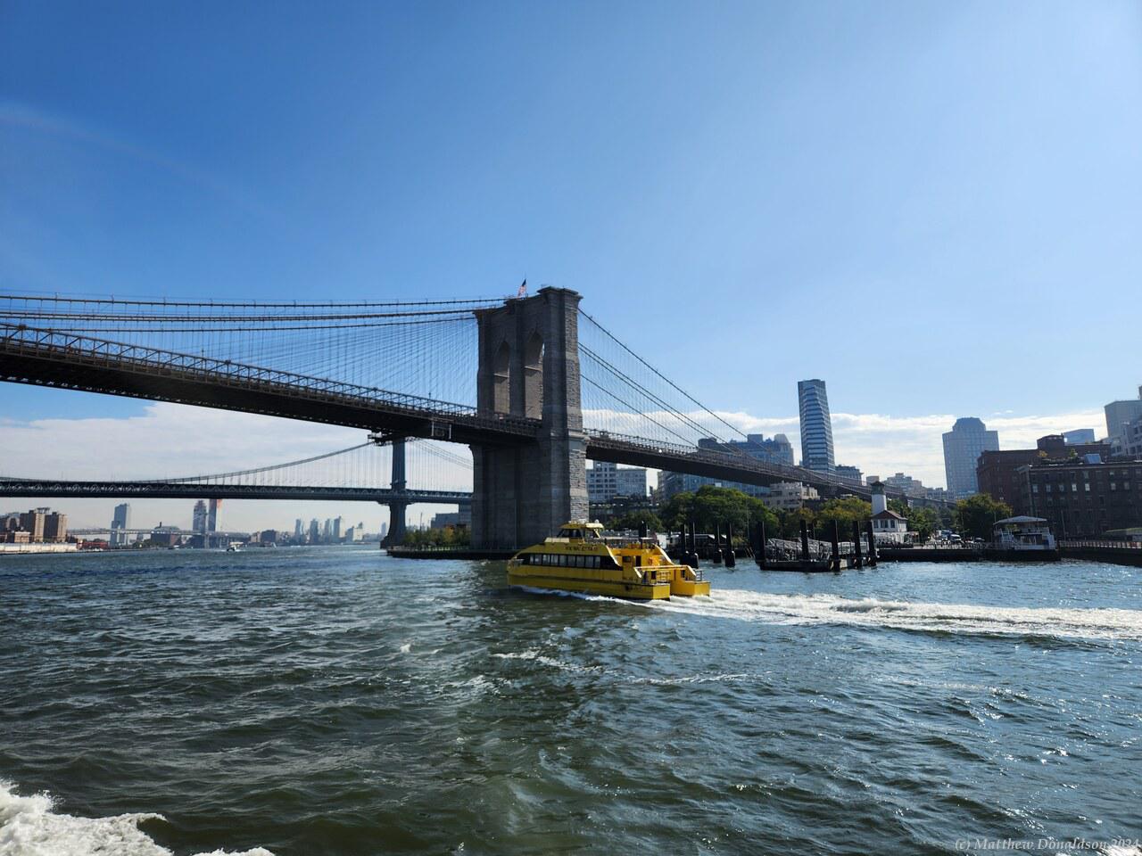
It was quite close to the terminal of the ferry I’d taken the previous day, so I took the ferry again, and made my way there. The building had shopping areas on the bottom, and I had a bit of trouble finding where to go to get to the lookout. I found it eventually, and there was a pretty long line up to get in, even with tickets. I was hoping that I wouldn’t miss out by getting to the front of the line too long after the time on my ticket. Someone next to me in the queue offered to hold my place while I went to the front and asked, and I found out it wasn’t a problem.
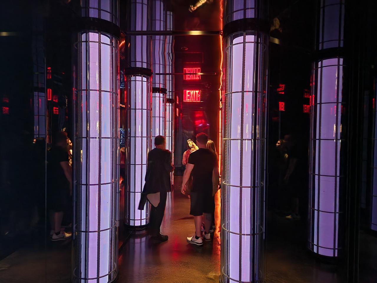

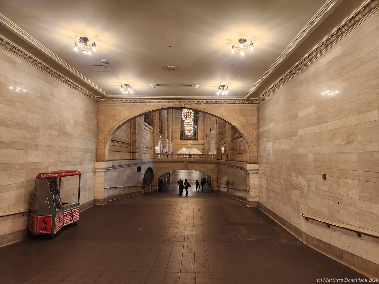
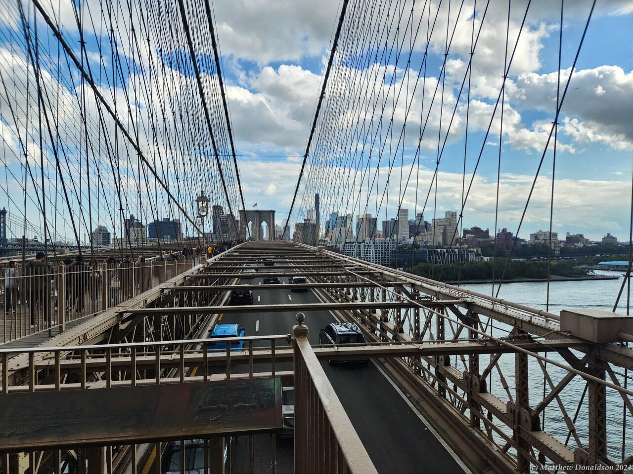
It was something like a 25 minute wait, after which we walked along an interestingly lit passageway with information about the area, and then up 100 floors in the lift, which exited onto the indoor part of the viewing area, with windows all around.
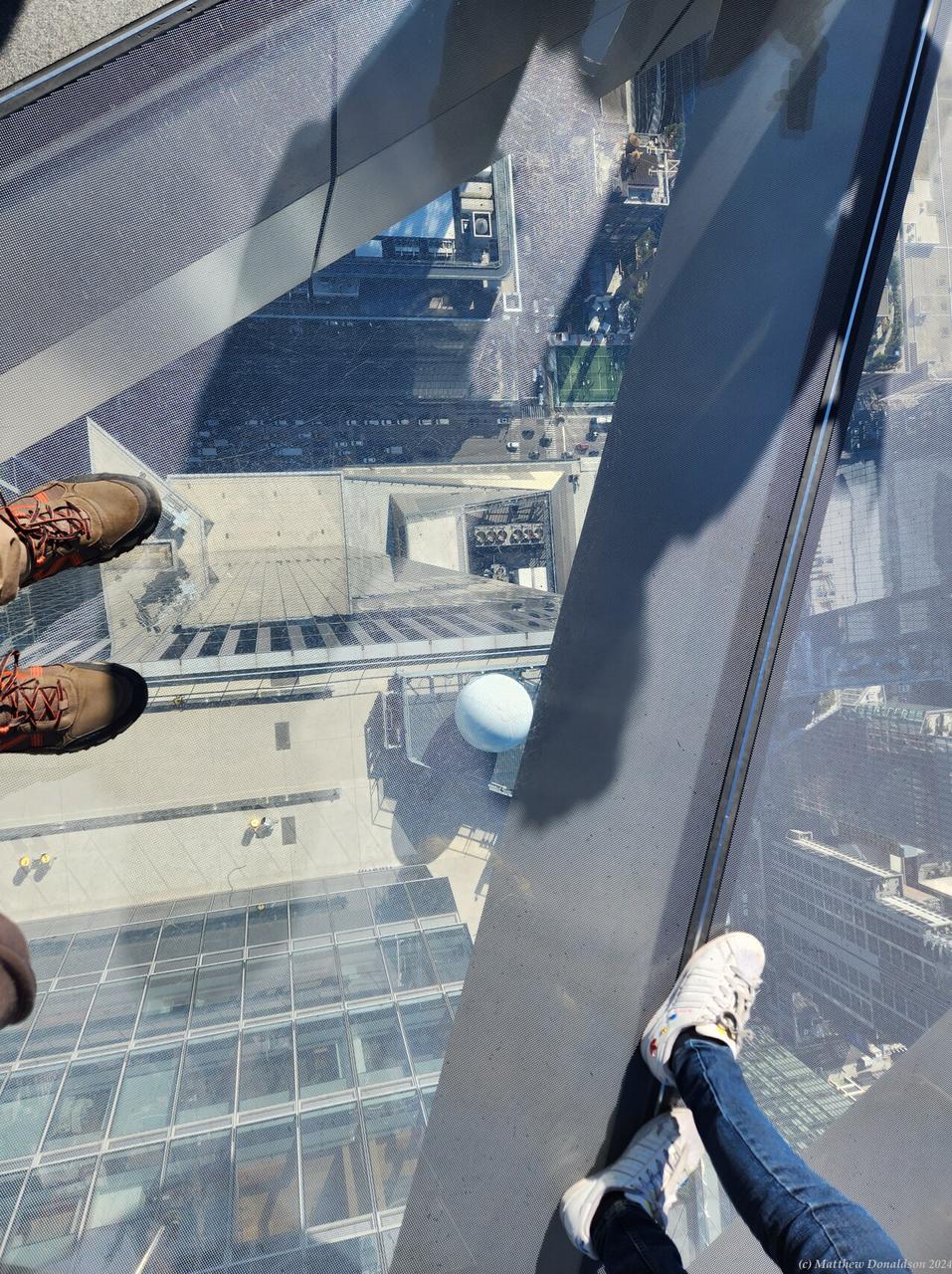
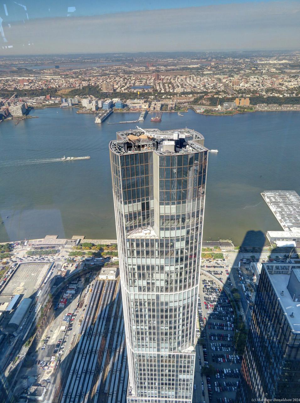
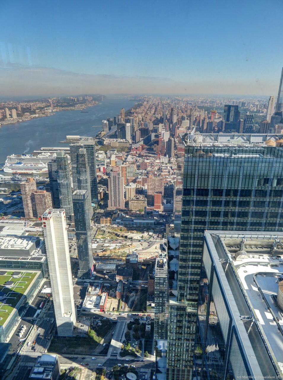
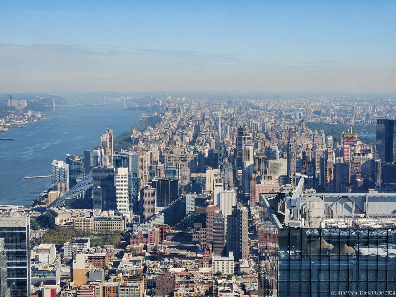
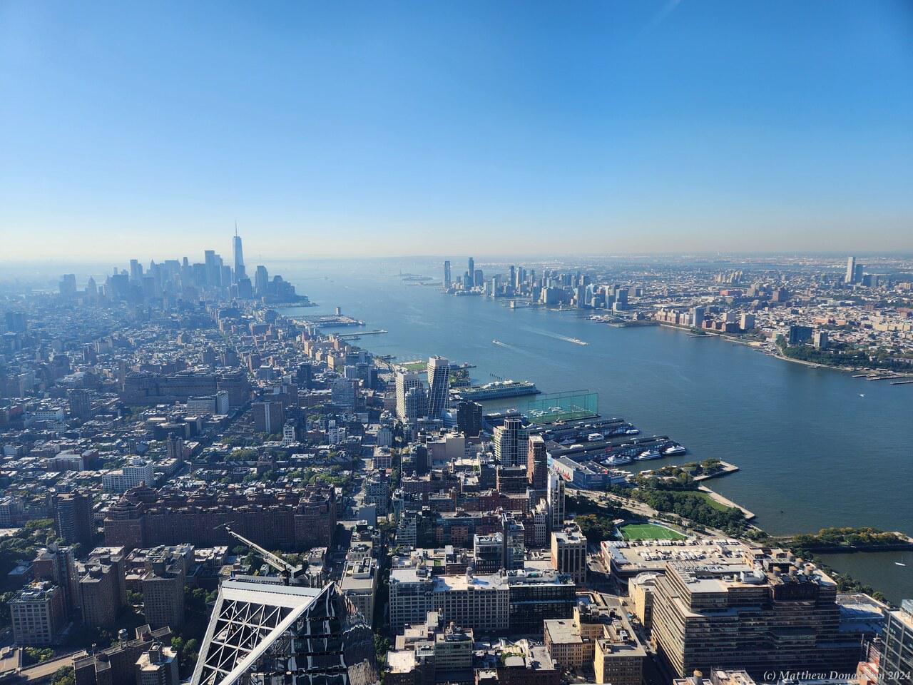
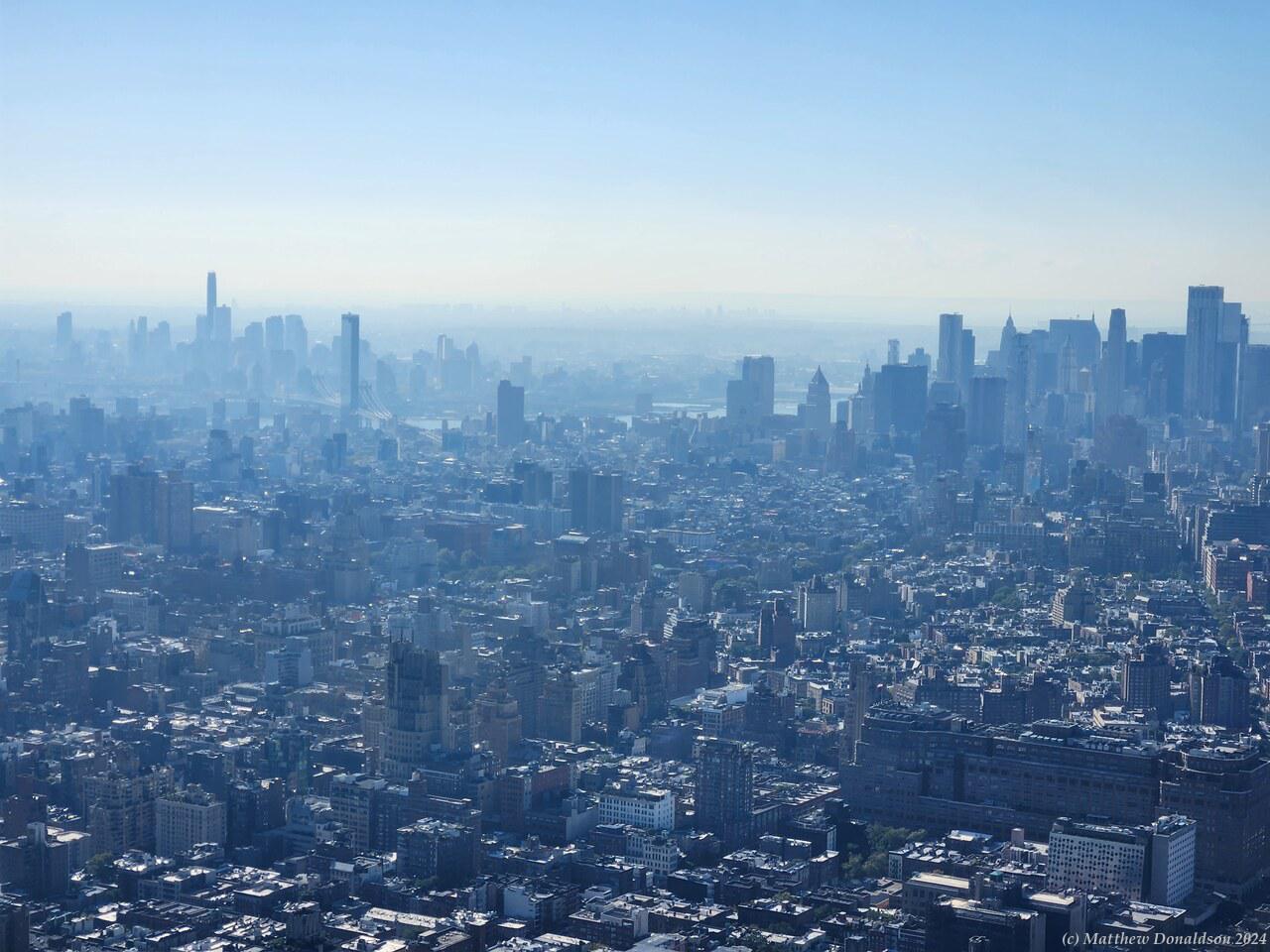
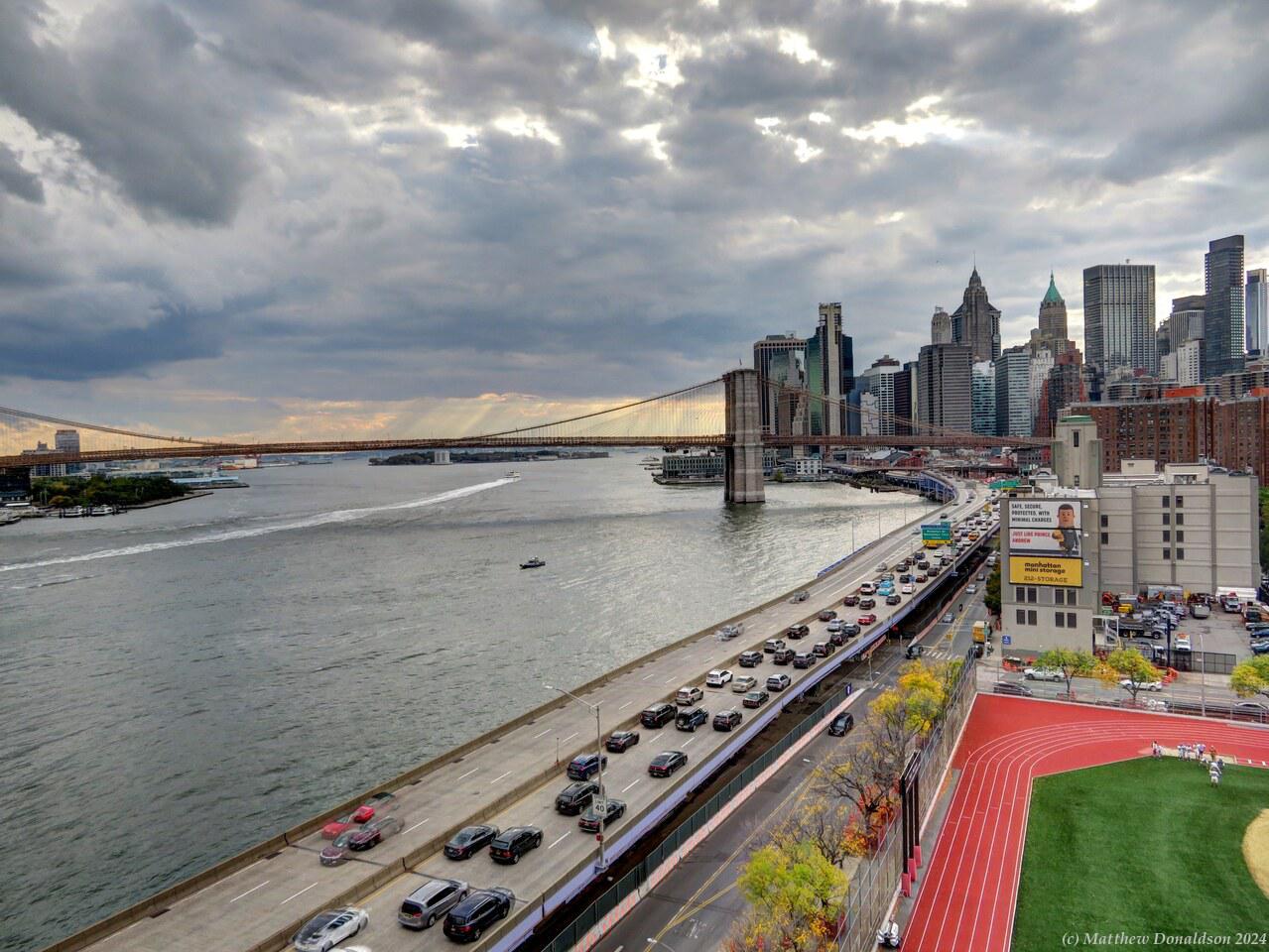
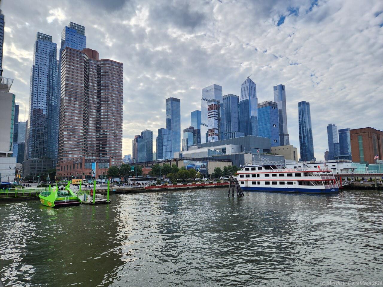
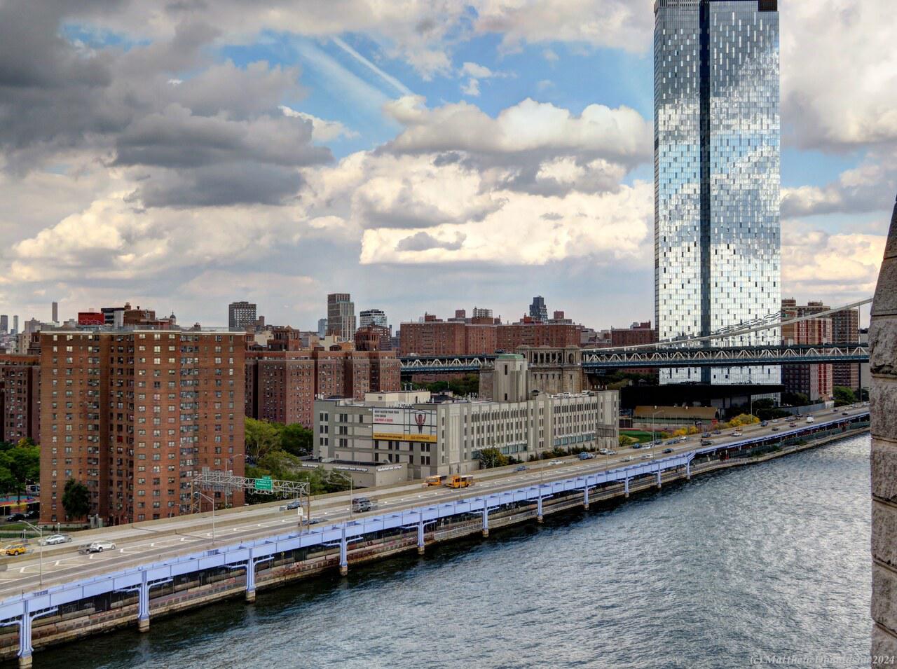
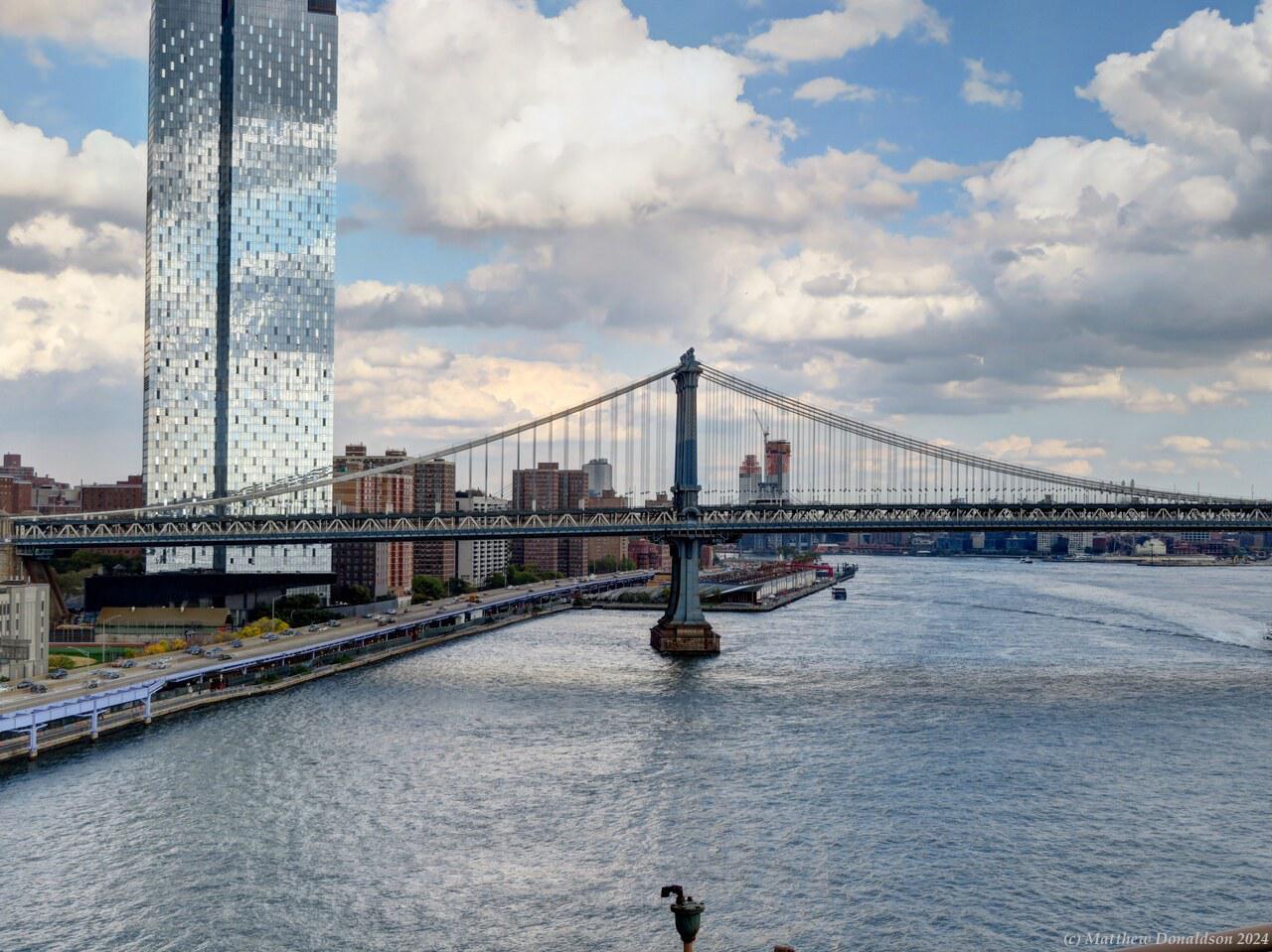
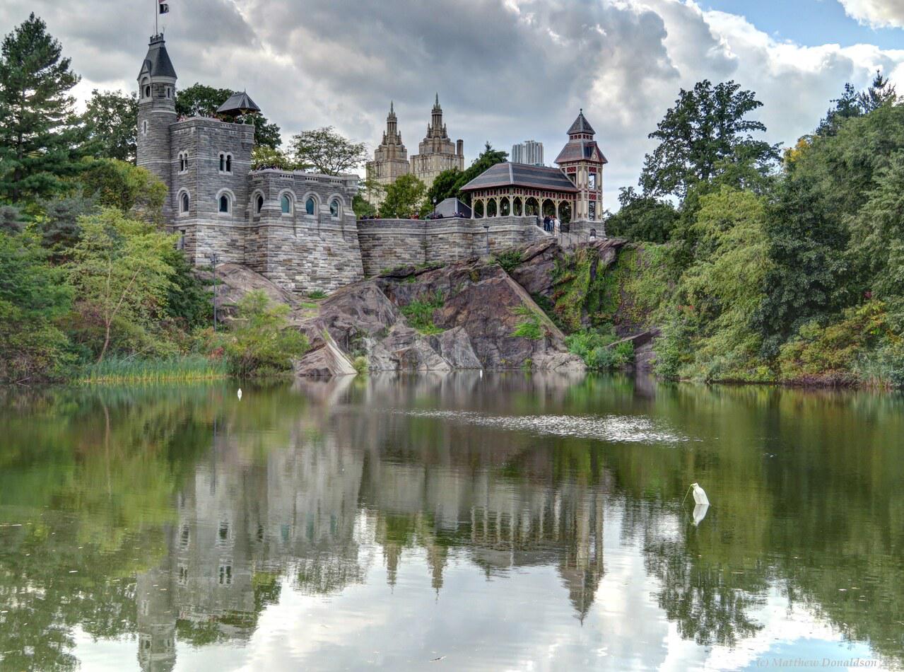
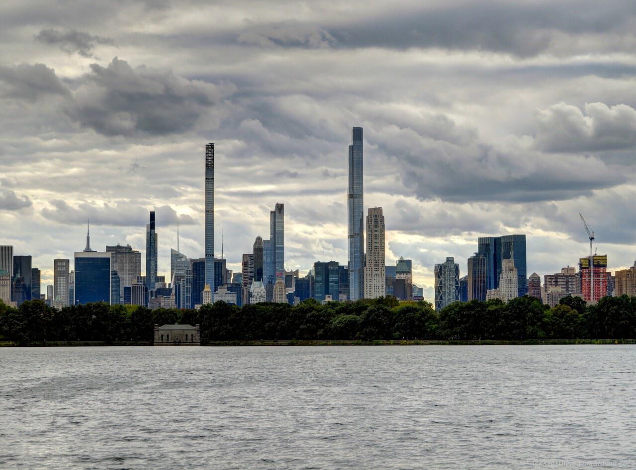
The views from there were pretty impressive, along the Hudson River, which it was close to, and over the city – I got a good idea of just how big the CBD was! The outdoor area had high glass walls all around. As I walked around, I saw someone lying on a part of the floor, and I realised it was actually clear, and you could stand there and look down 100 floors beneath your feet!
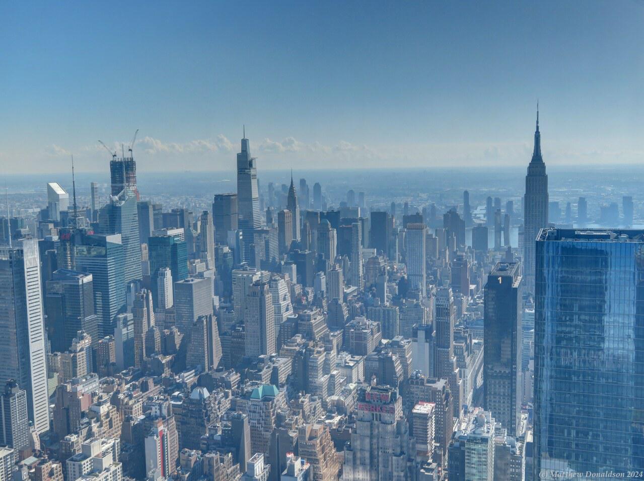
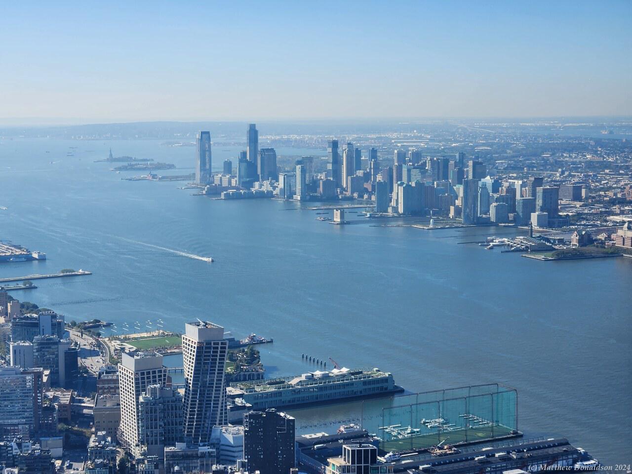
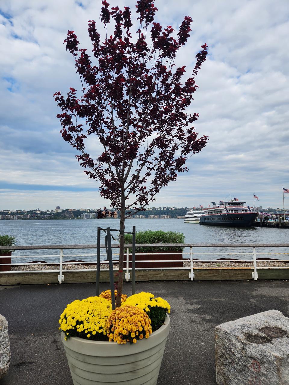
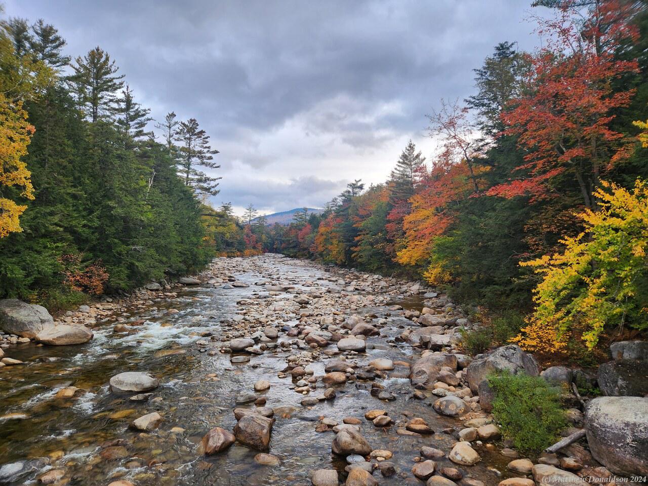
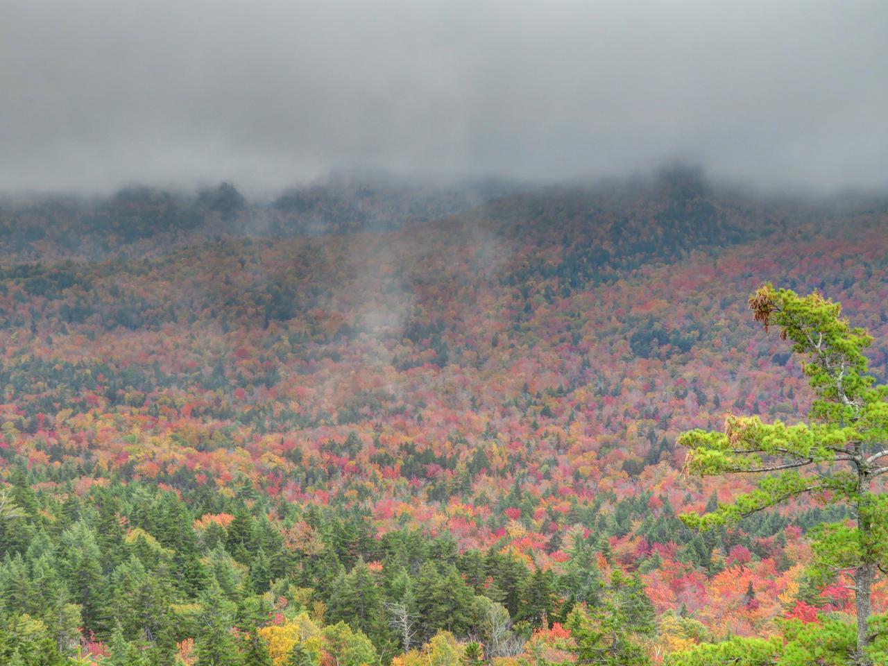
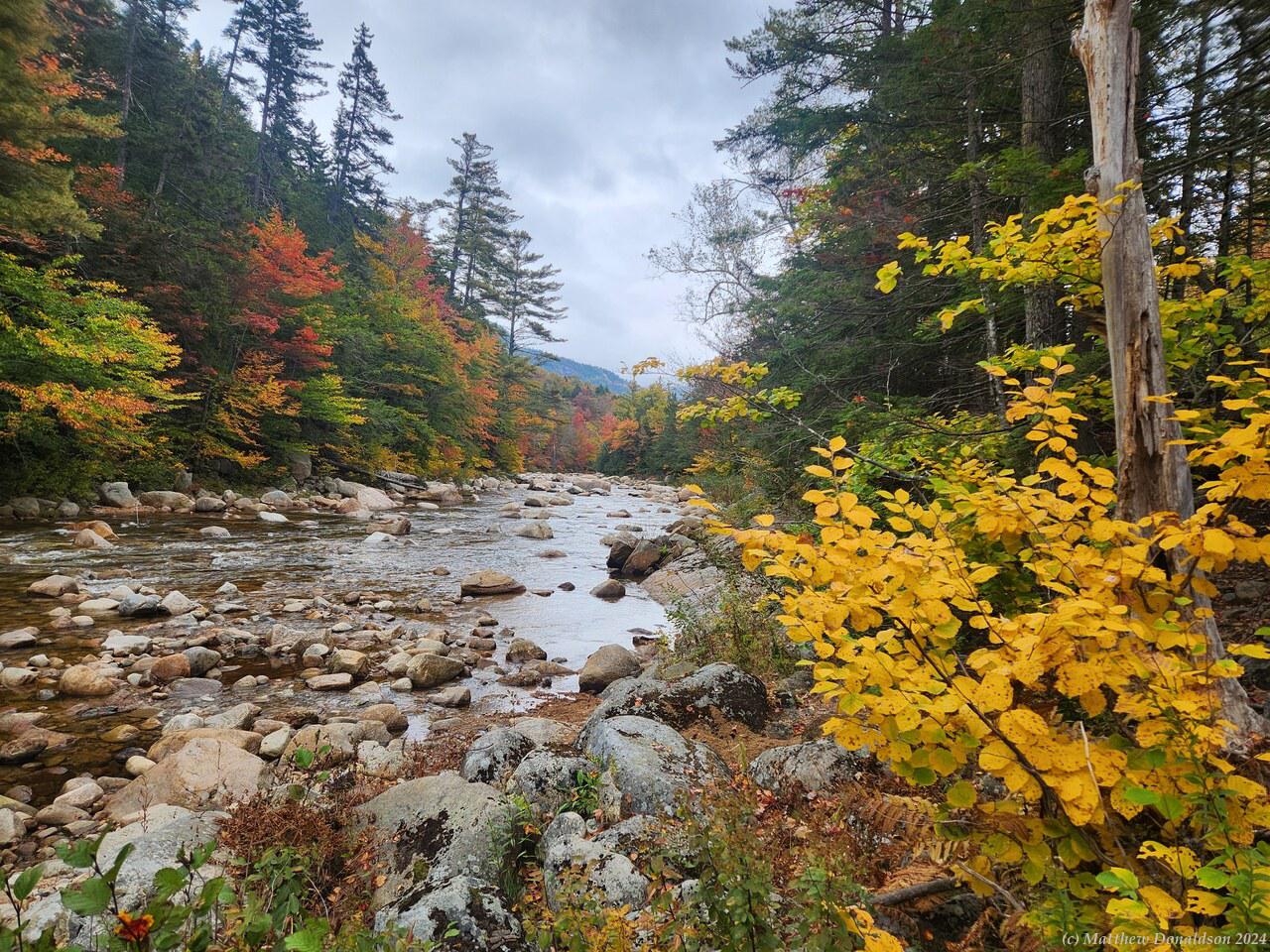
It was a beautiful sunny morning, and the views were great! Inside there was an area with (I think fake) autumn leaves and foliage, and some pumpkins, where people were getting photos. It was about the only autumn colour in the New York area at the time I think! There were a profusion of pumpkins around everywhere during the time around Halloween and Thanksgiving. After about half an hour I’d seen my fill and went back down again.
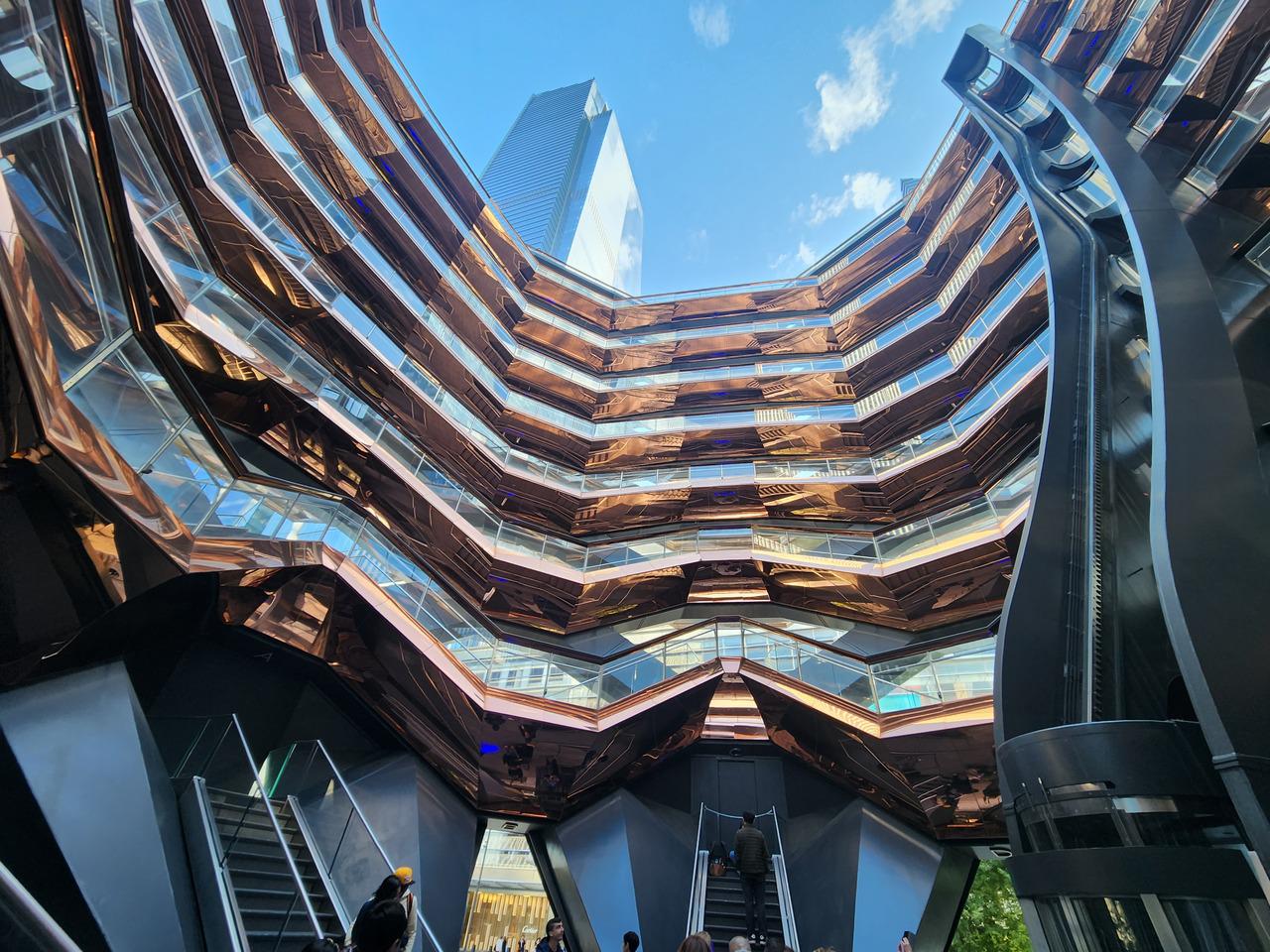
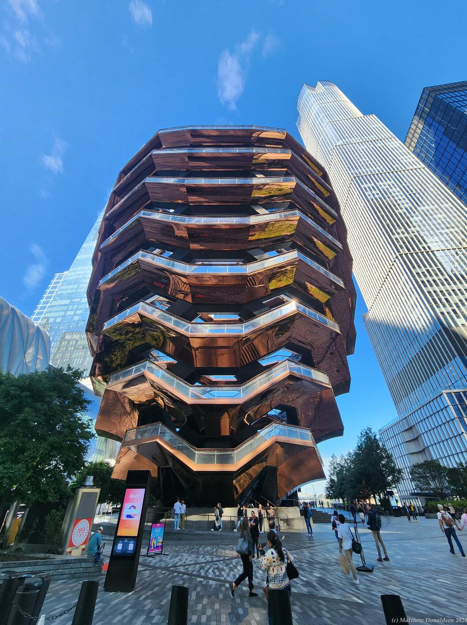
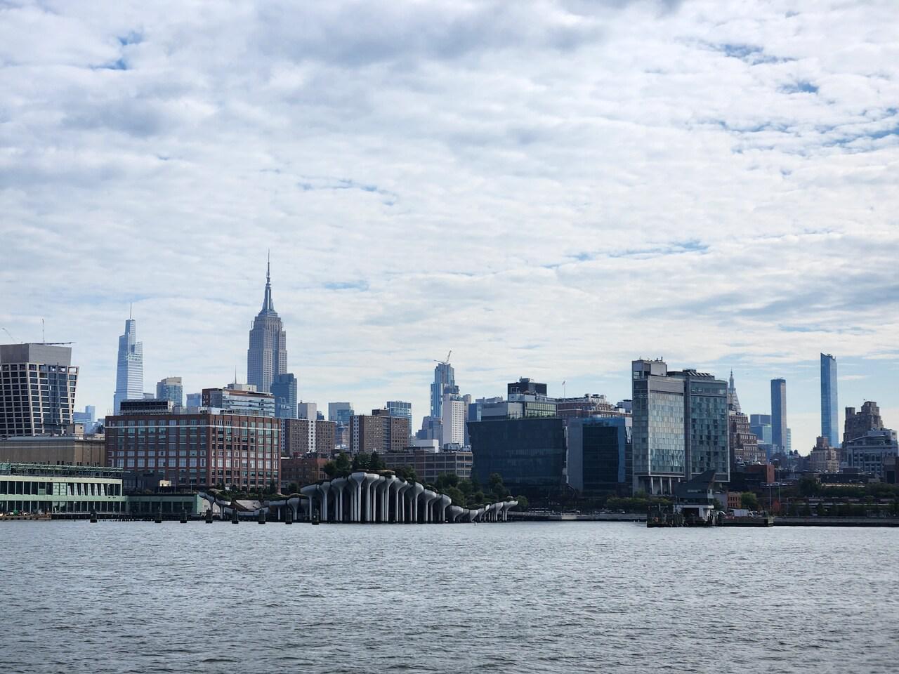
Outside this building was a curious structure, with seven oddly-shaped rings, each probably a storey or more above the next one. I was able to get into the bottom part, but you couldn’t climb up any further. Apparently at some stage people could, but I gather they had issues with people committing suicide by jumping off.
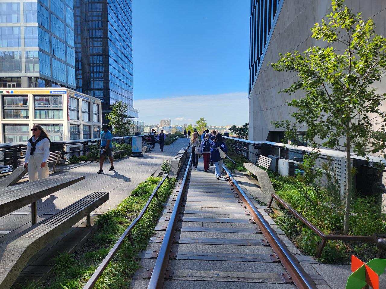
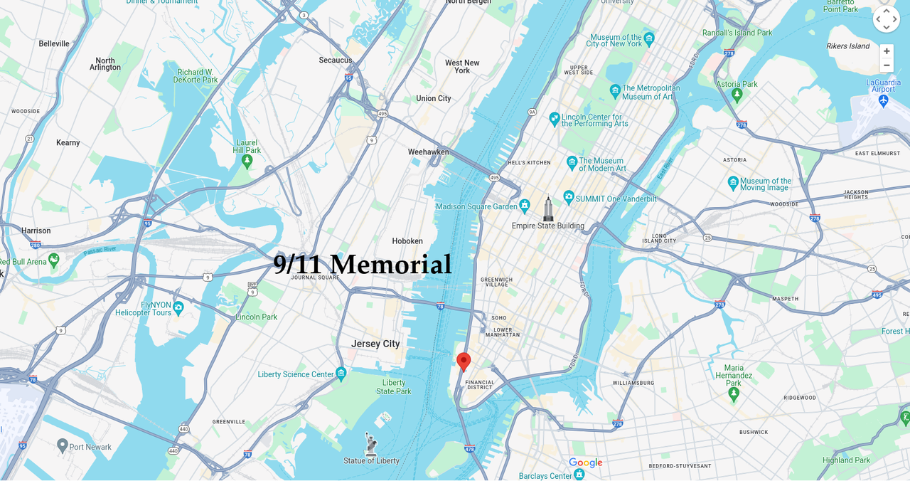
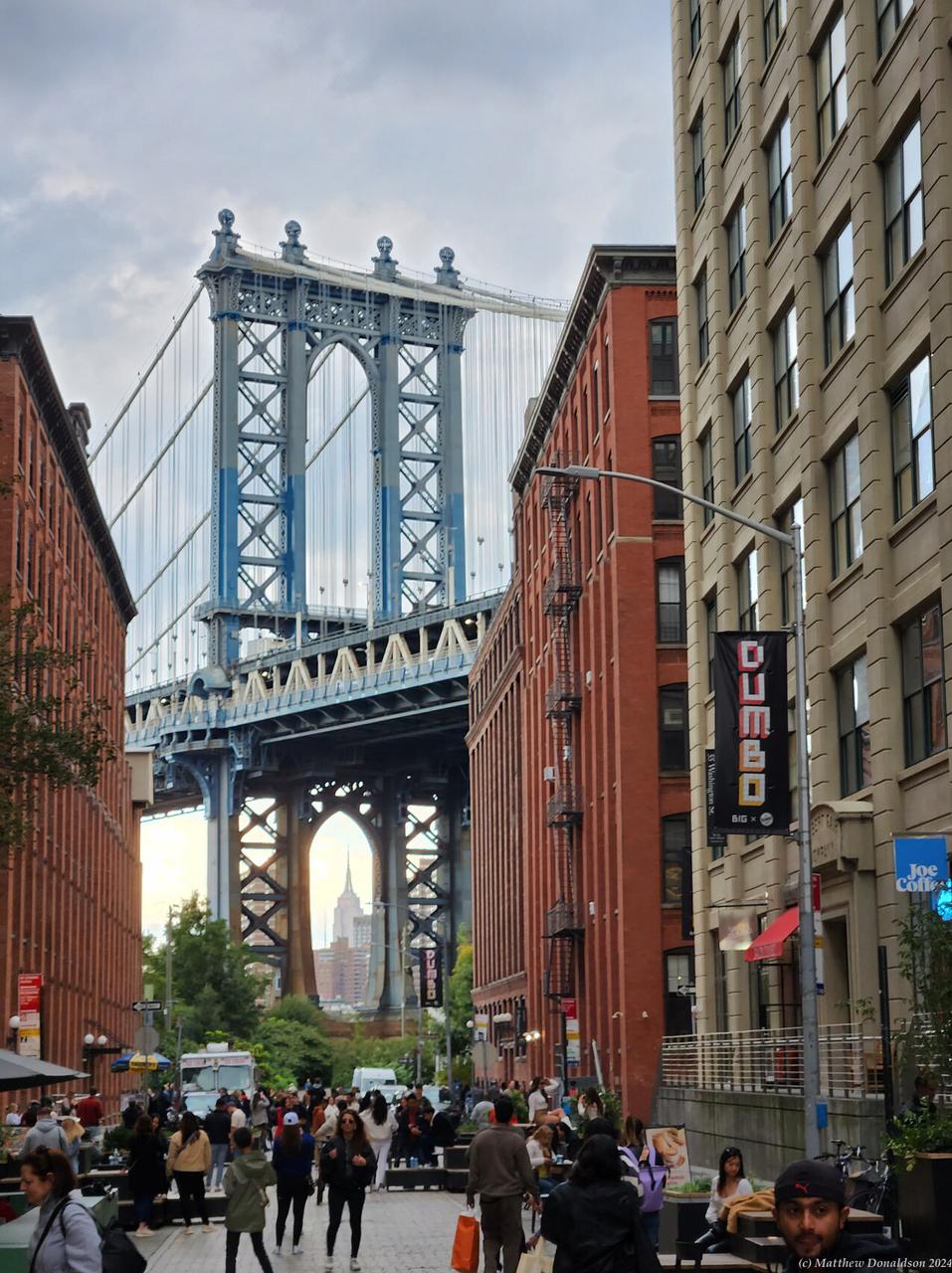
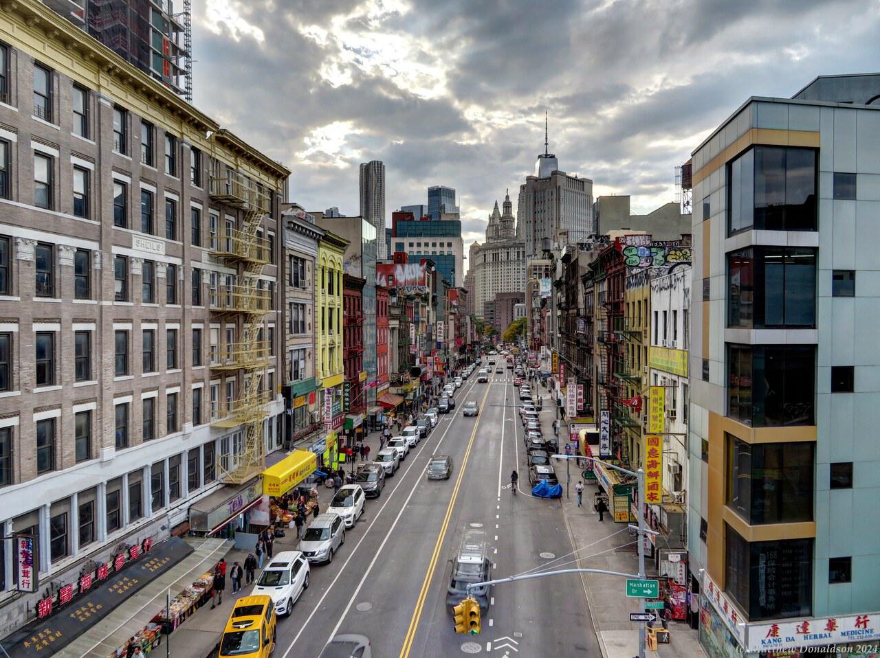
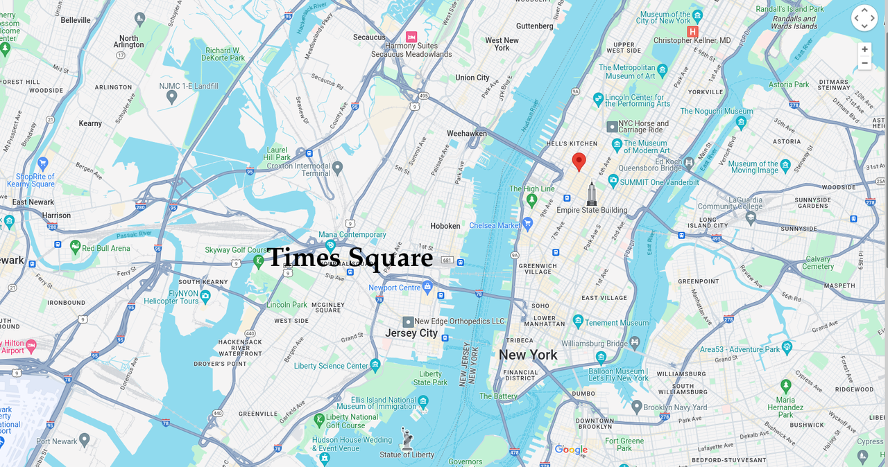
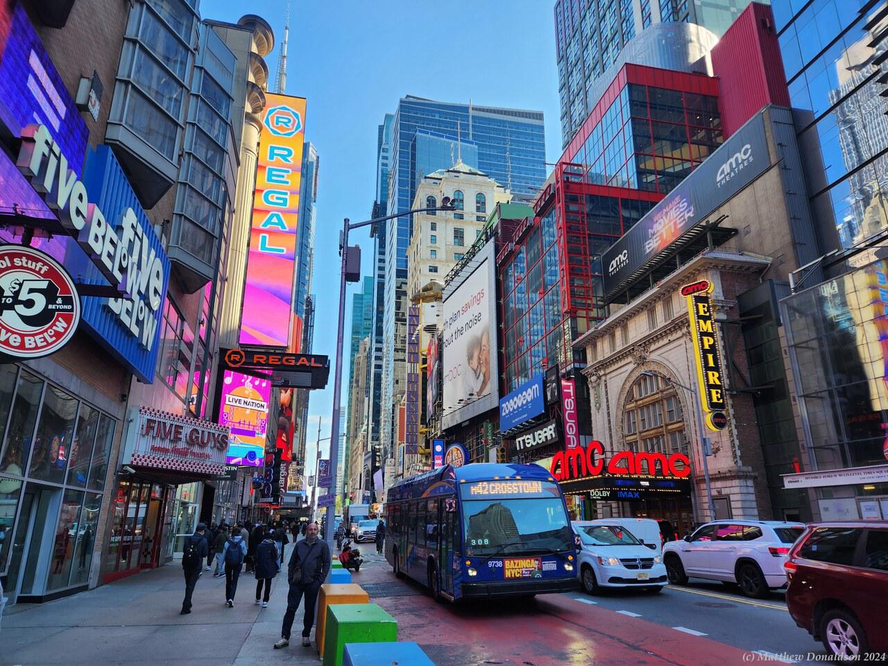
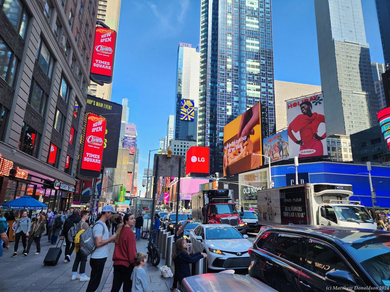
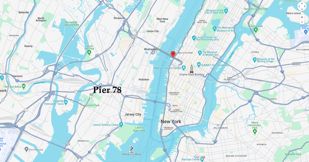
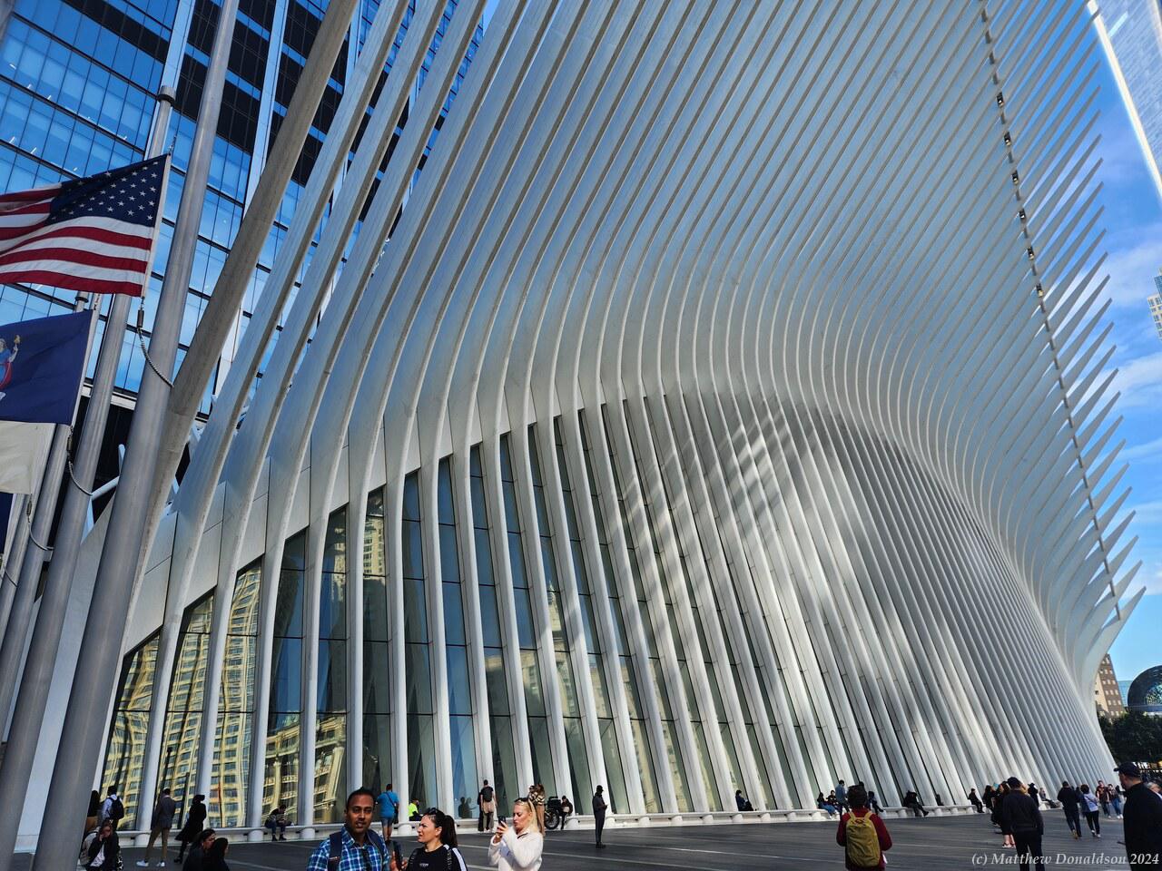
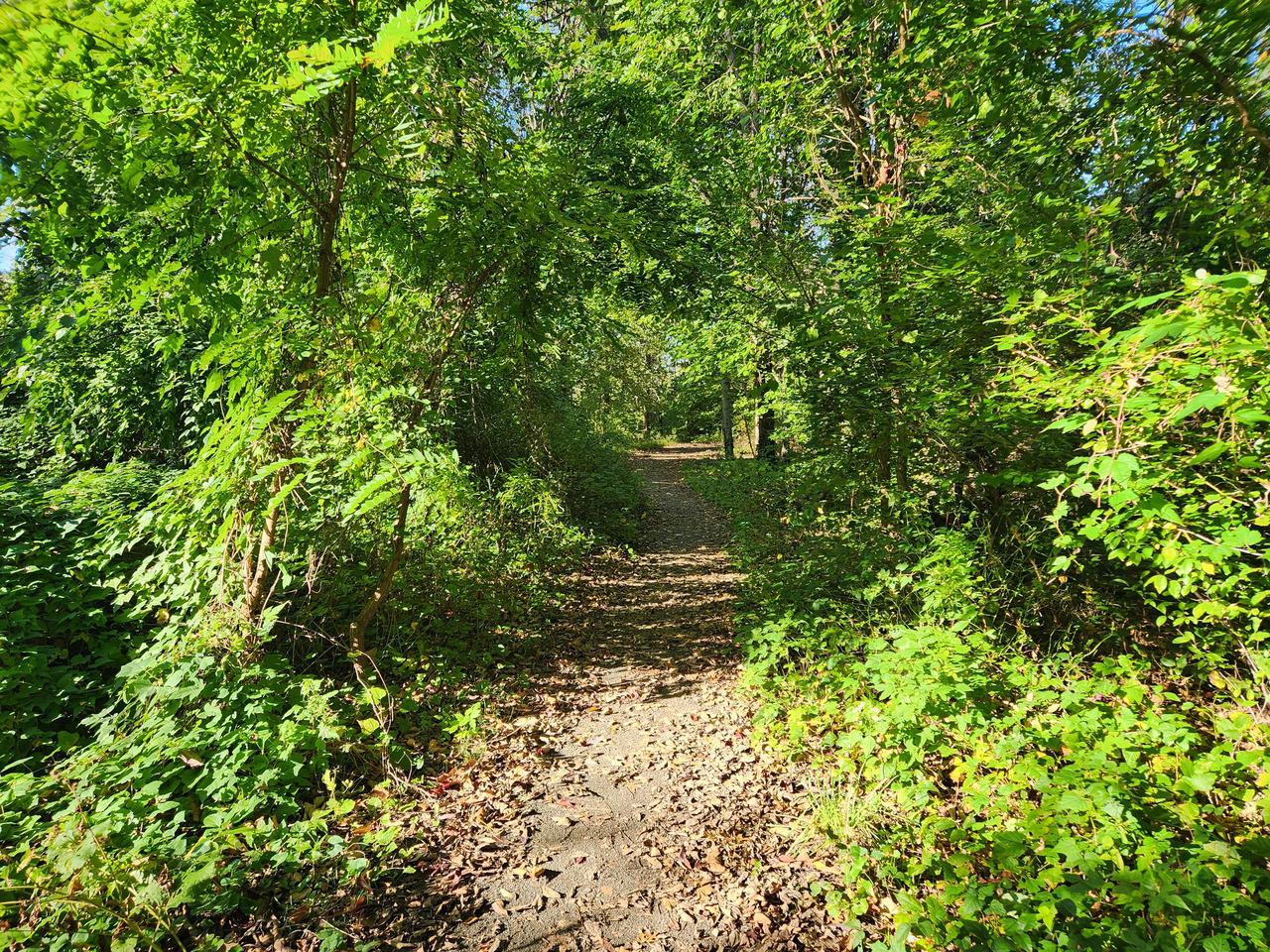
There was a raised walkway with a lot of plants on it, that used to be a railway, which people could walk along. There was an entrance to it near this building, and I walked a little way, but then it was blocked off. I think they were working on some parts of it. I was at a bit of a loose end at this point. I’d ticked off most of the things I wanted to do. I’d been thinking of visiting the 9/11 memorial and thought Wall Street might also be worth a look, as it was near there.
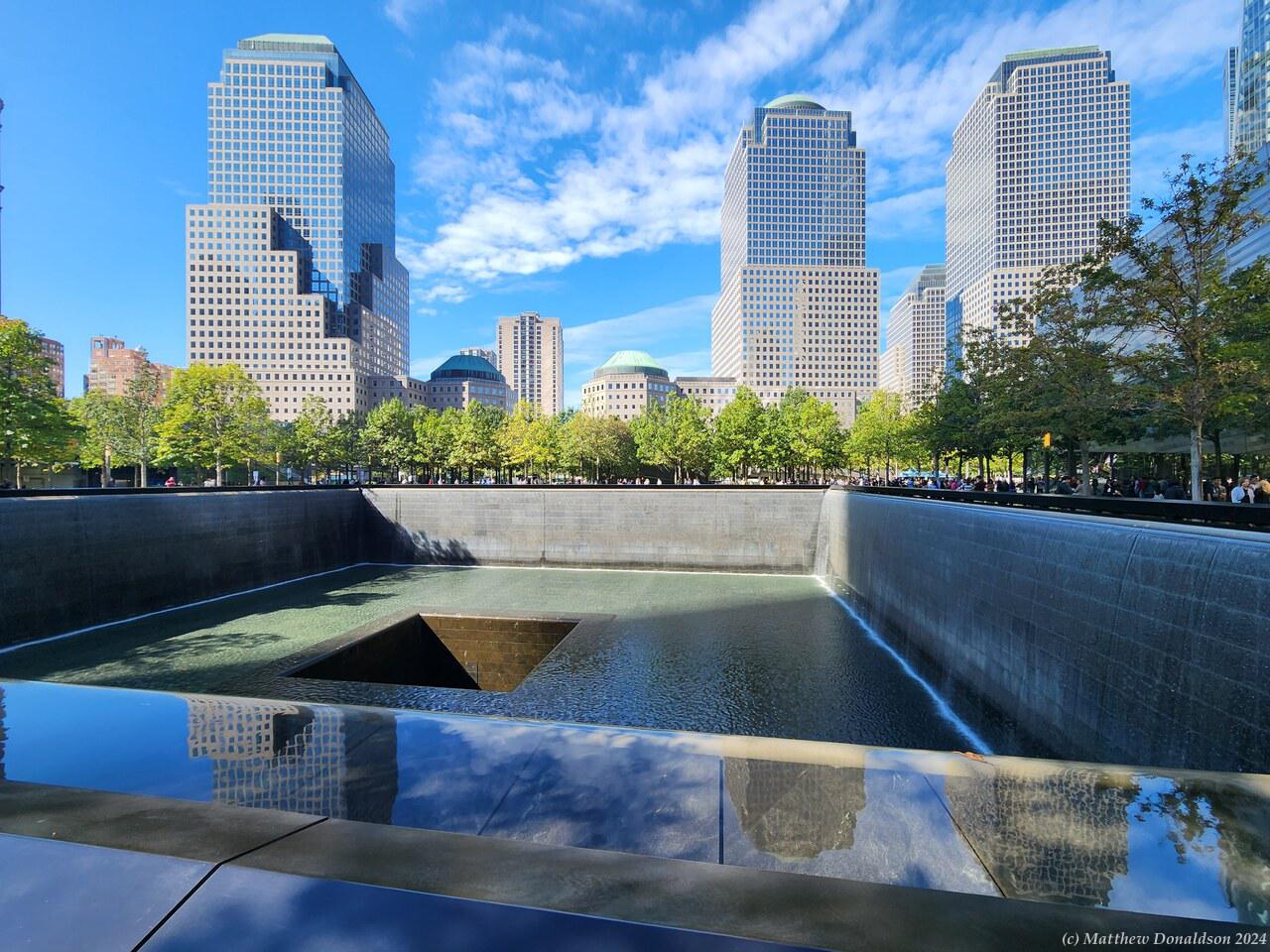
I took the subway again down to the south of the island, and paid my respects at the memorial. It’s a sobering thought looking at all the names, to consider how many people died there.
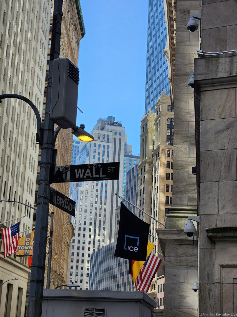
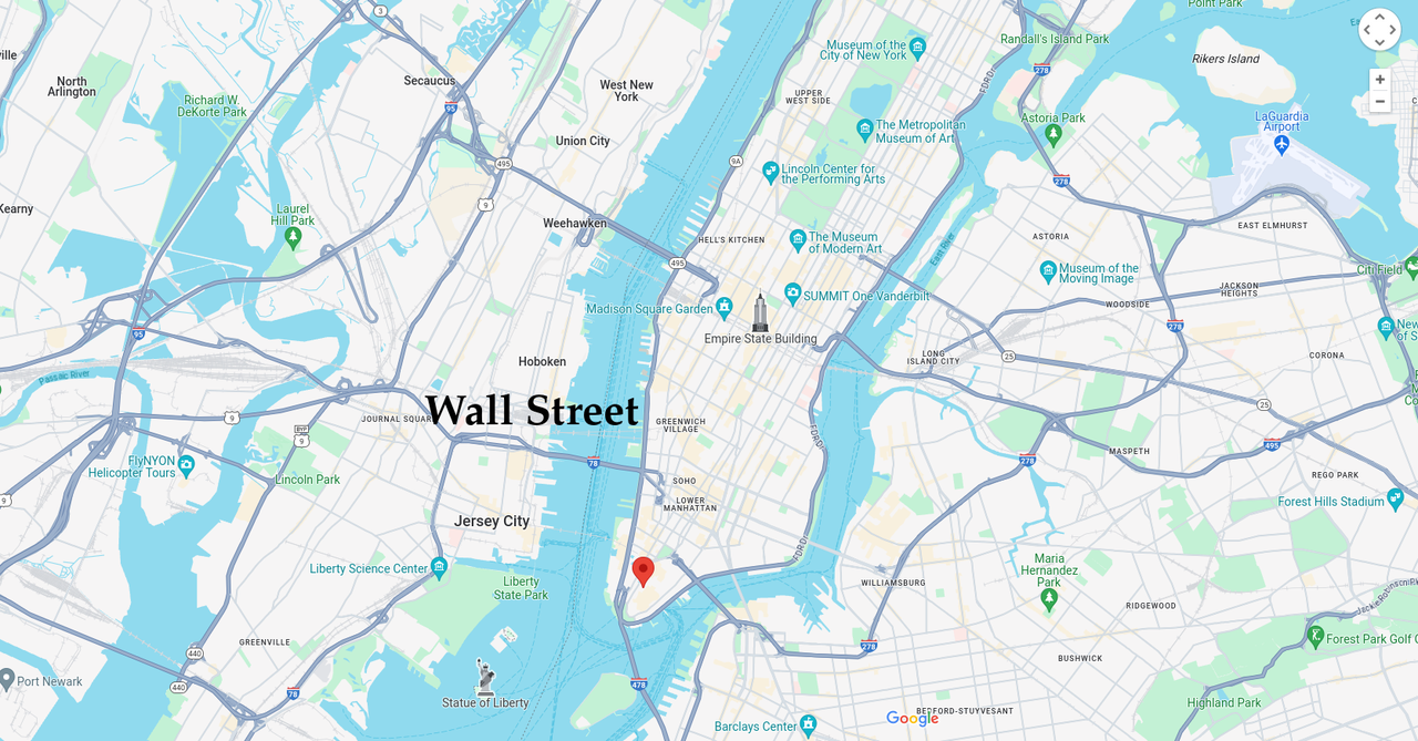
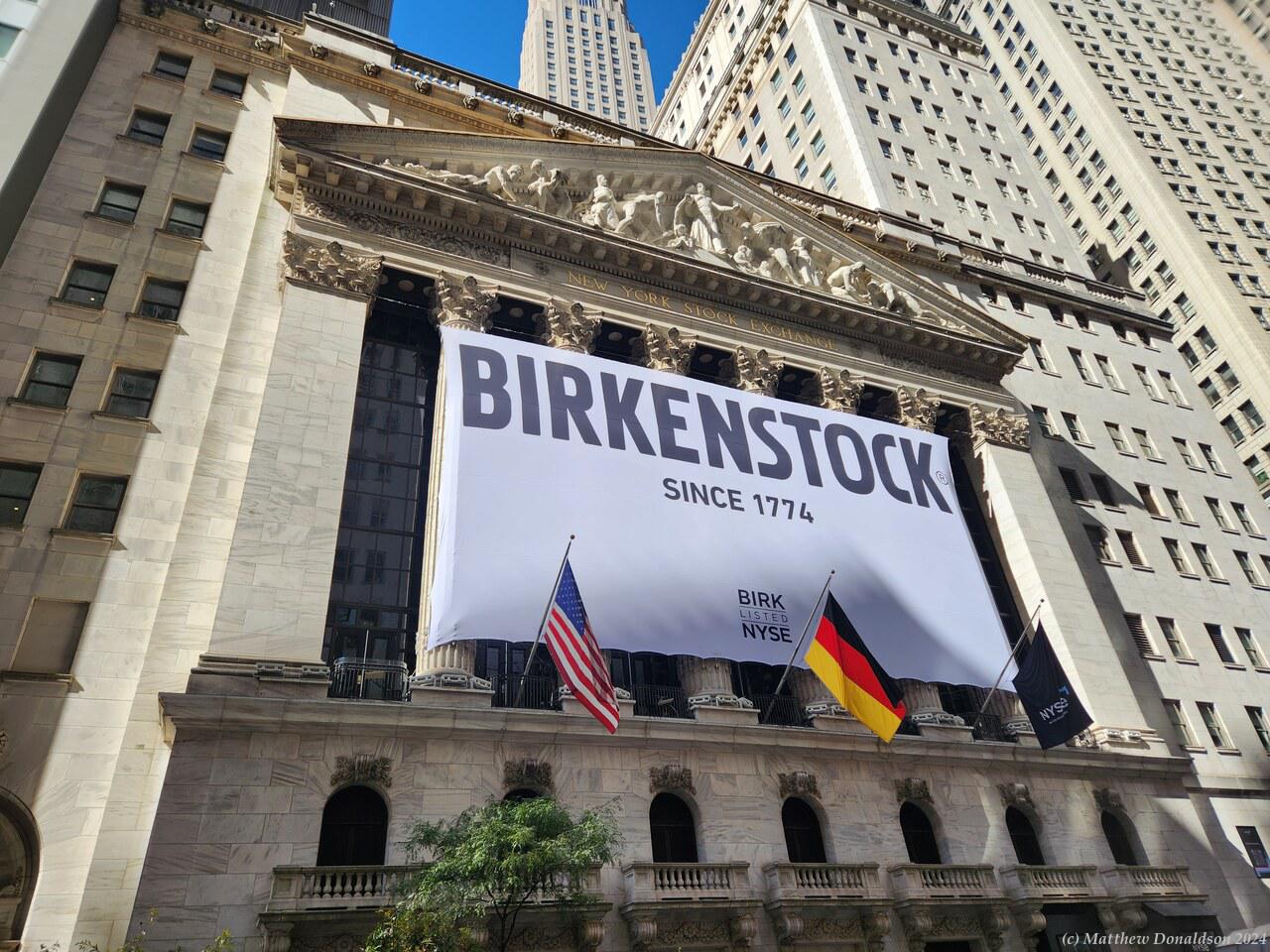
I had a bit of a job finding Wall Street, even with Google Maps, but I tracked it down, and had a walk along it. It was actually a bit of an anticlimax. It looked quite ordinary, and even the Stock Exchange, though it was an impressive building, was very quiet. You couldn’t go in as far as I could see, and nobody was coming or going.
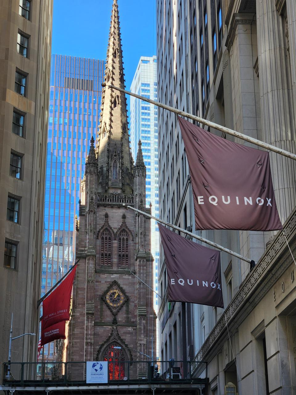
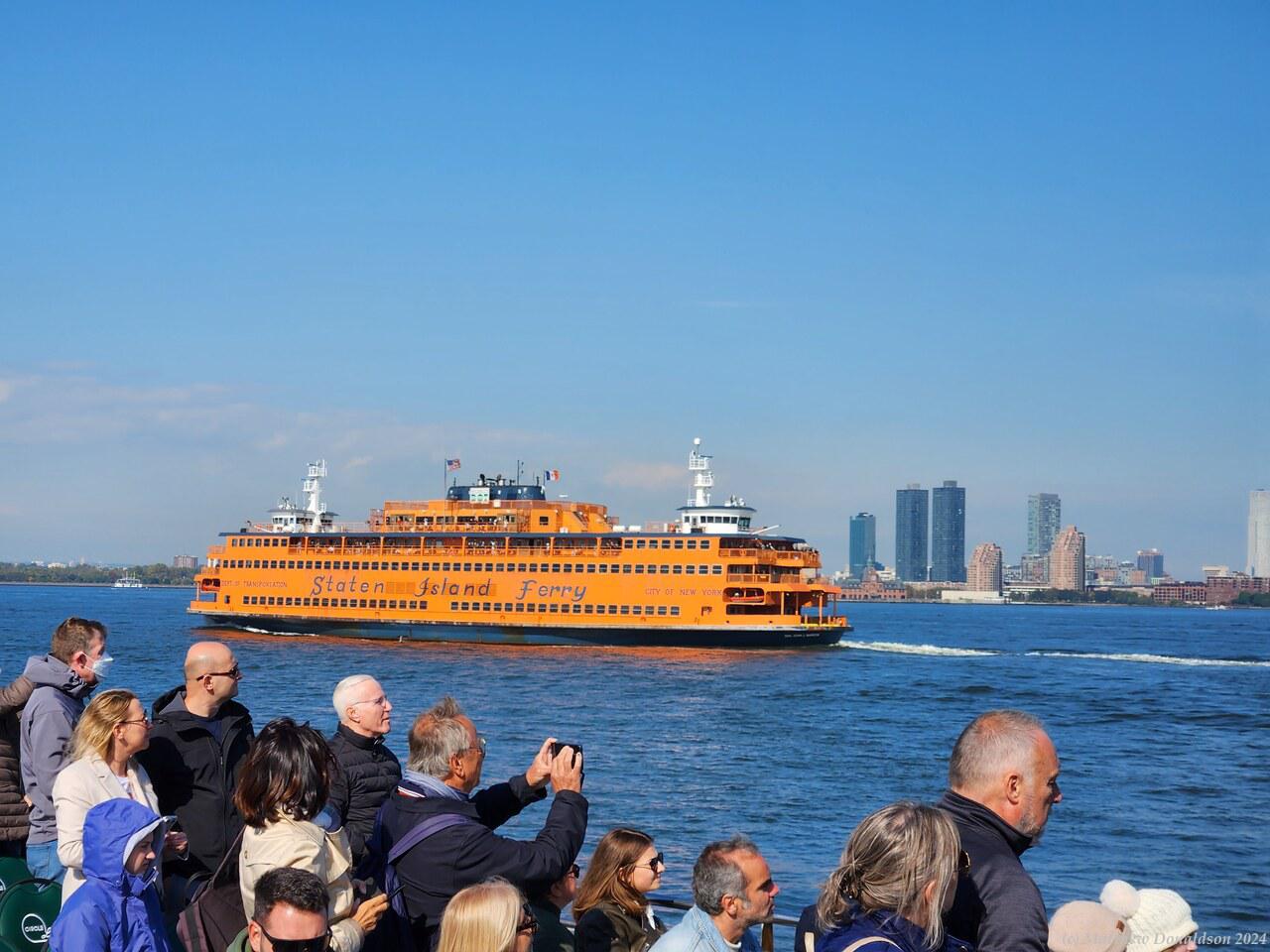
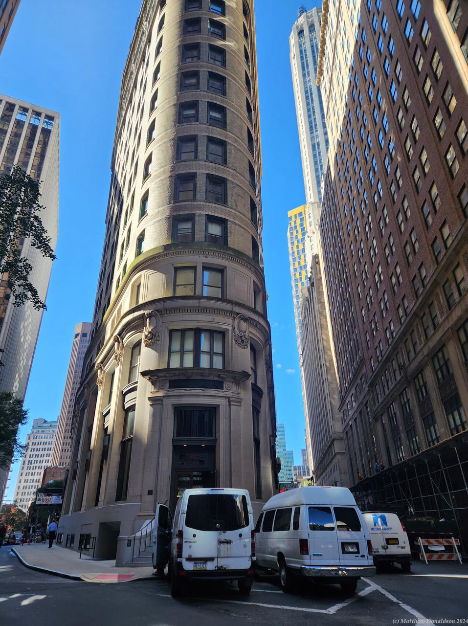
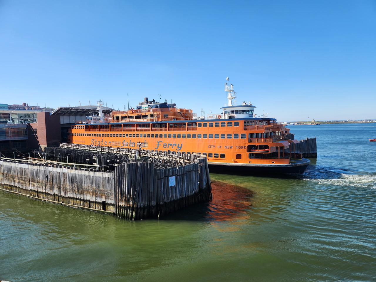
The way the streets were laid out made for a curious building that was very narrow at the front, as two streets intersected at a sharp angle, and I saw a church peeking out from between the tall buildings. It was around 1 by this time, and I went by a place selling pizza, and had a good lunch. Afterwards I thought I’d have a look at Staten Island, with the free ferry. I walked down to the point nearby where the ferry terminal was, and got there just as masses of people were piling onto the ferry.
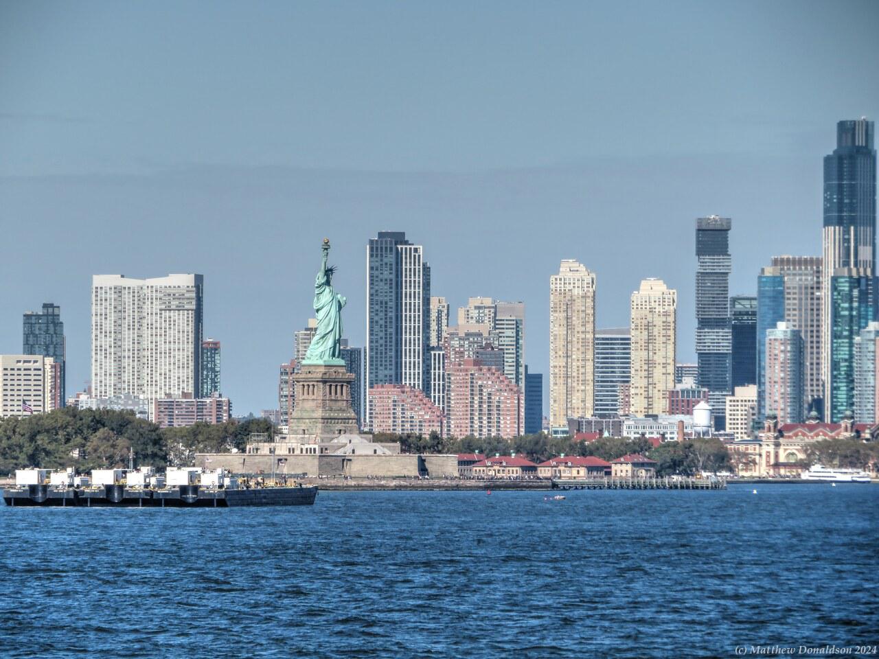
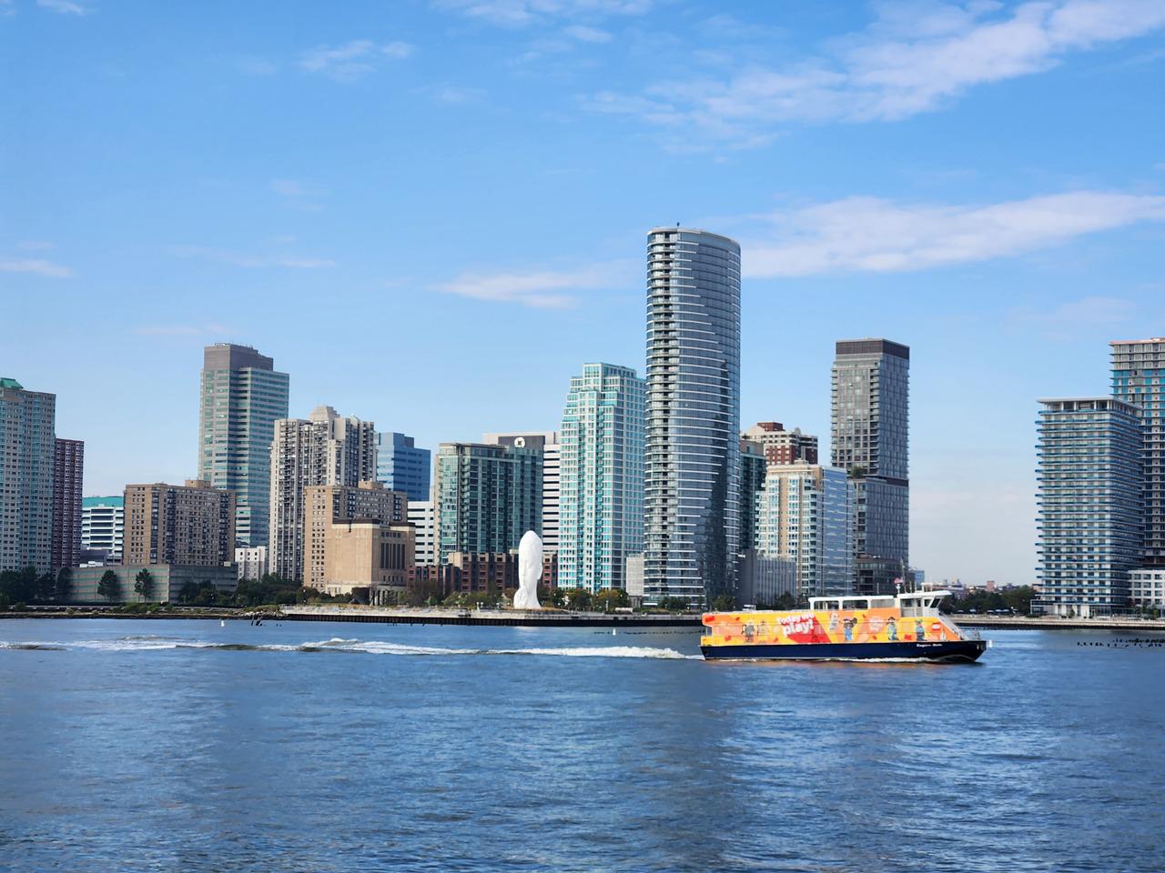
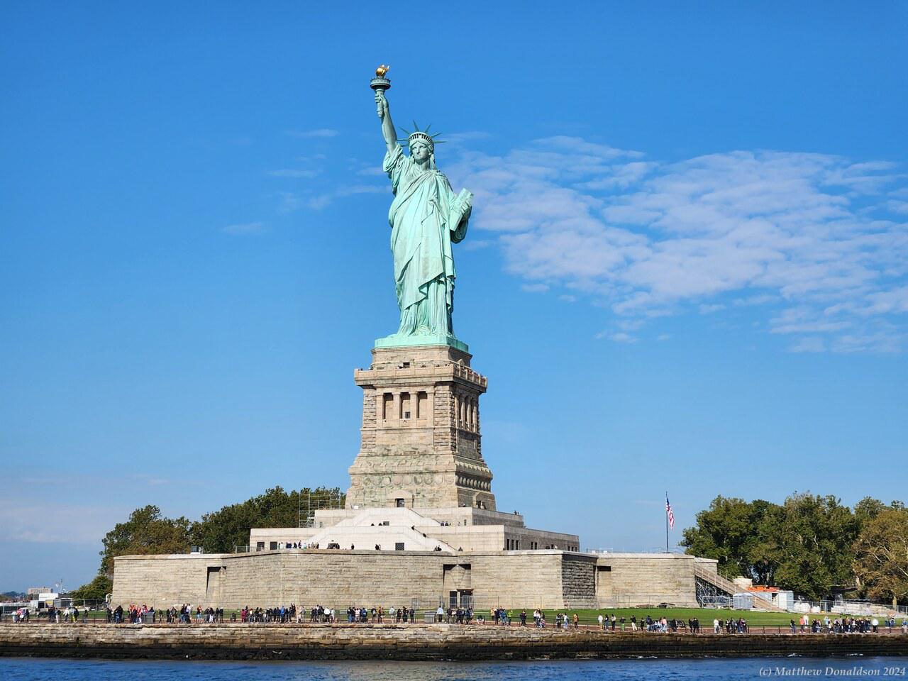
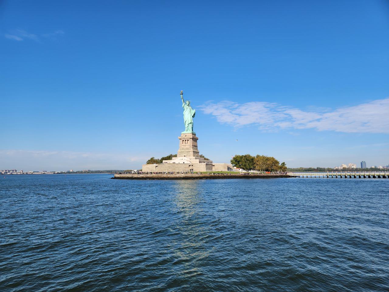
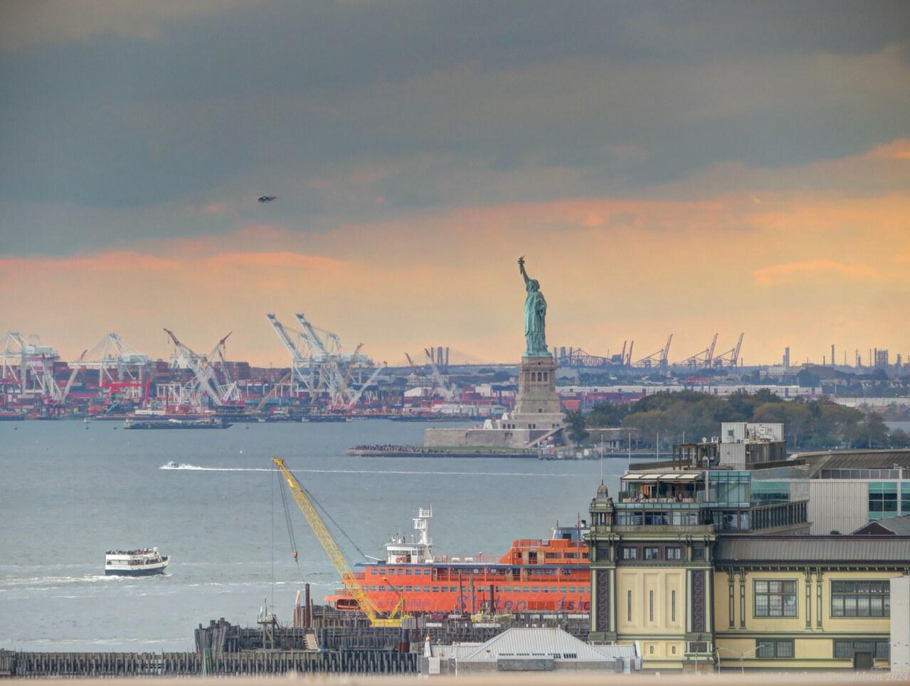
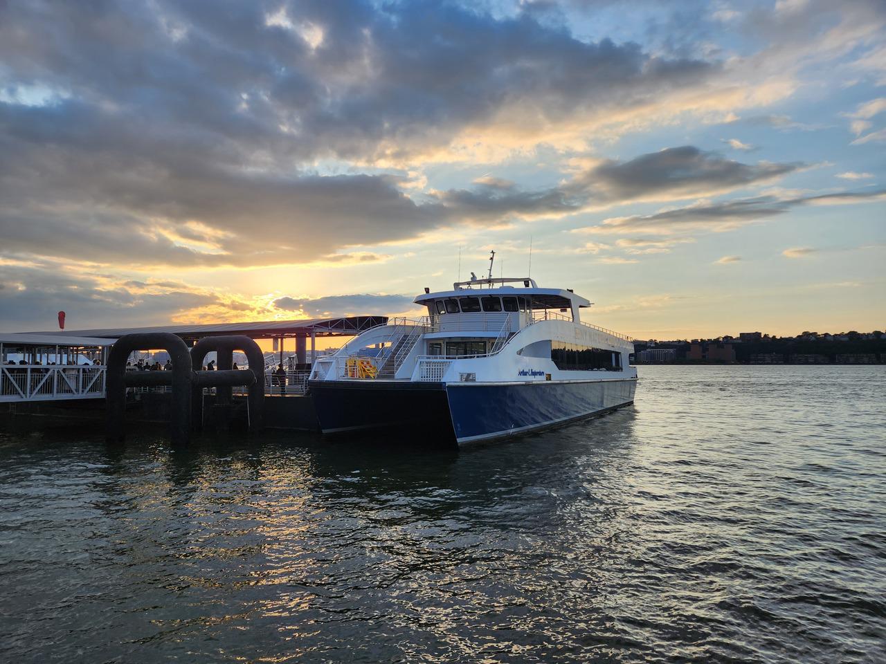
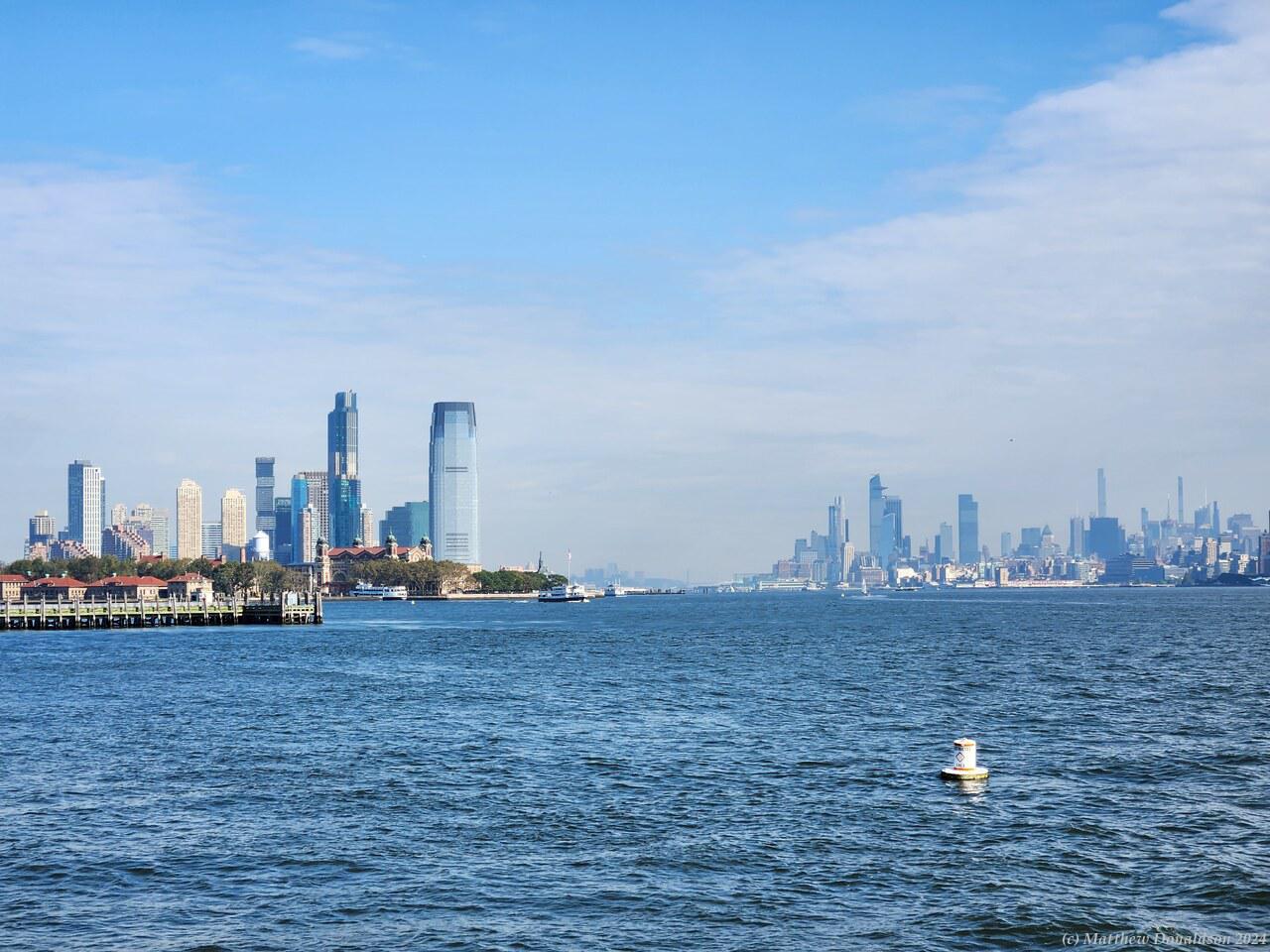
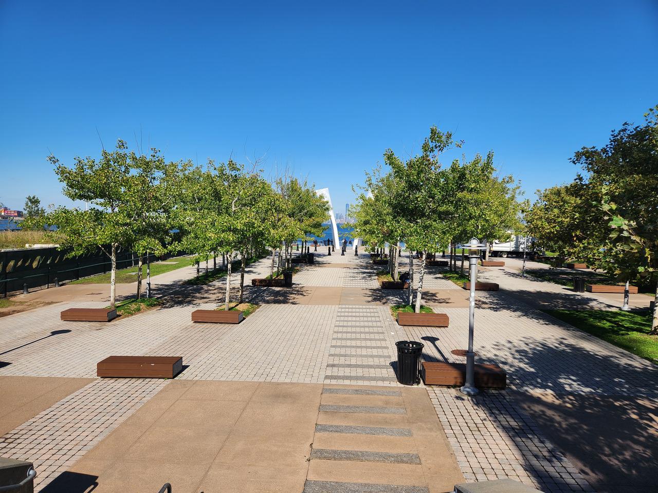
The ferry was bright orange, and quite large. There were no tickets, so people all just walked on in large numbers. The ferries left pretty regularly, something like every 20 minutes or half an hour. It was nice trip across to the island, taking about 25 minutes, and going near the Statue of Liberty again. I’d spotted gardens that were about 3.5km from the terminal, the Snug Harbor Cultural and Botanic Gardens. It was about a 40 minute fast walk there, along a road near the coast.
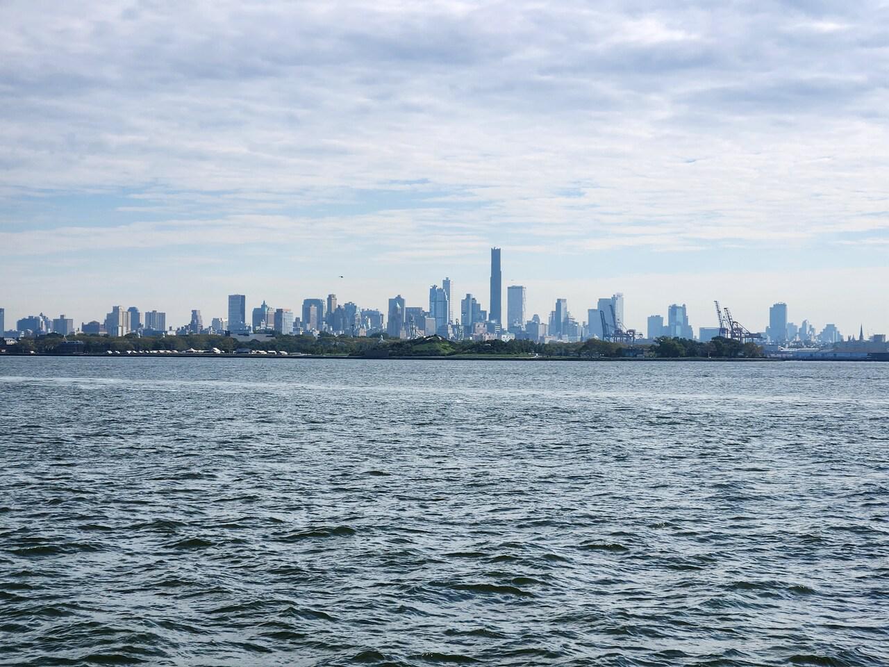
Staten Island, or at least the part where I was, was much quieter than Manhattan Island – not a lot of traffic, no horns honking, few sirens. There was a bit of a plaza around the ferry terminal with some shops, then a footpath along the road near the coast. It went by what had been some kind of large complex, but was fenced off, and abandoned looking.
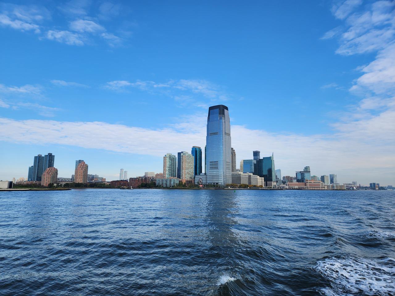
Further on there was an industrial looking area, and across the river, in Jersey City, lots of industrial tanks and things. There were some pretty spots by the water along a small road closer to the waterfront. Along the way I stopped at a service station and bought something to drink. I was always having to make sure I looked the right way before crossing the road!
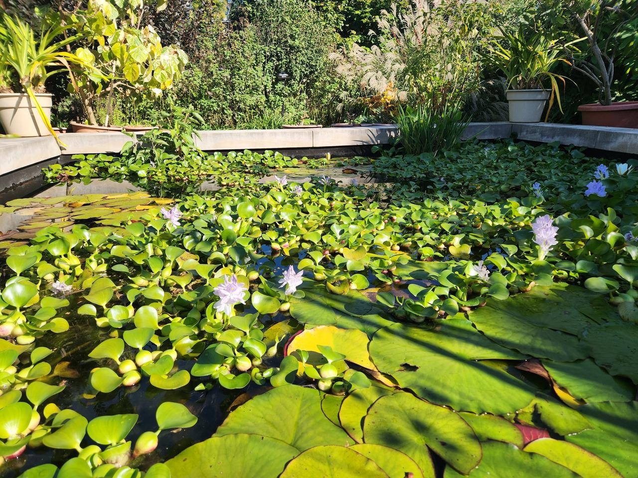
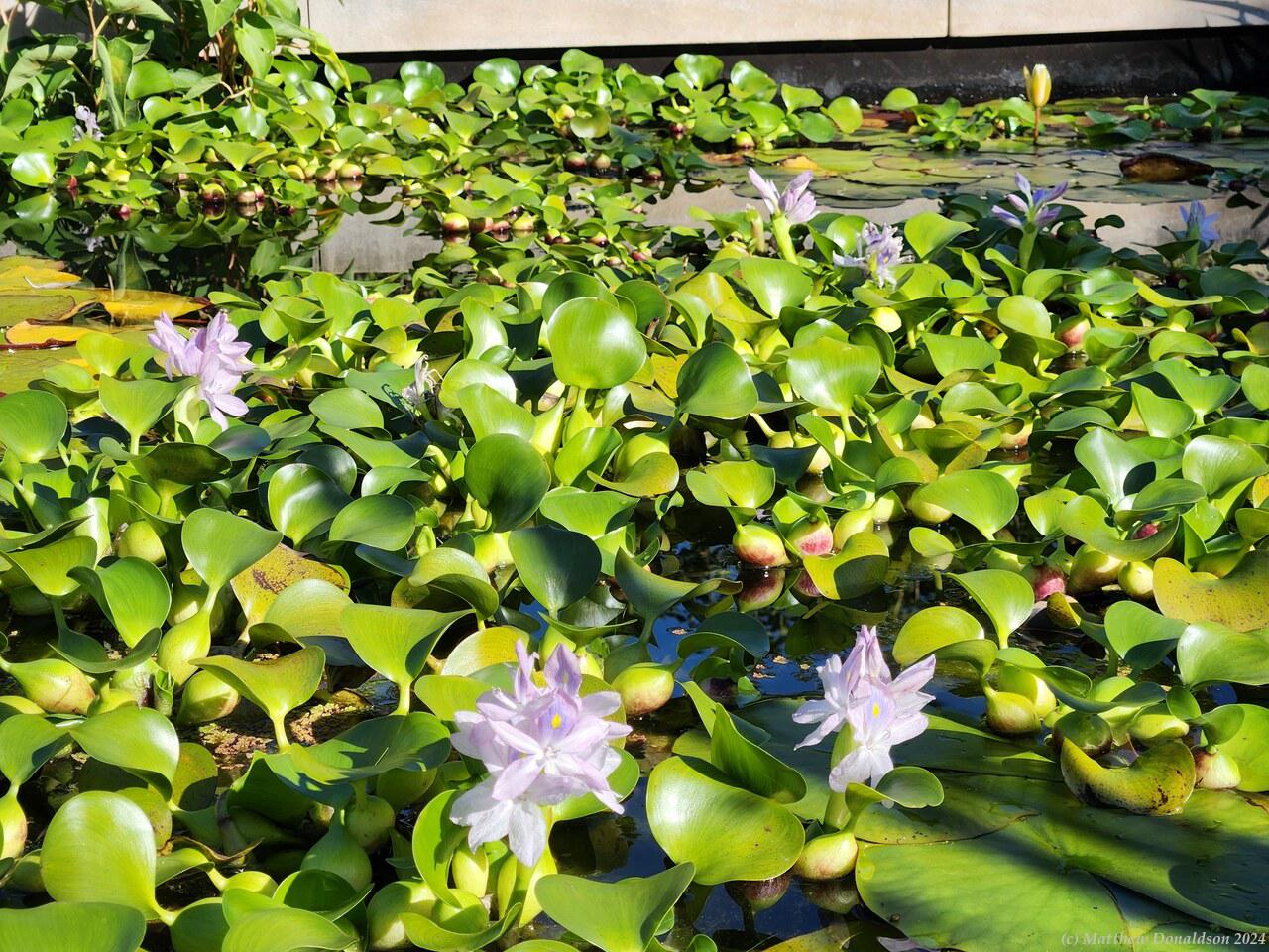
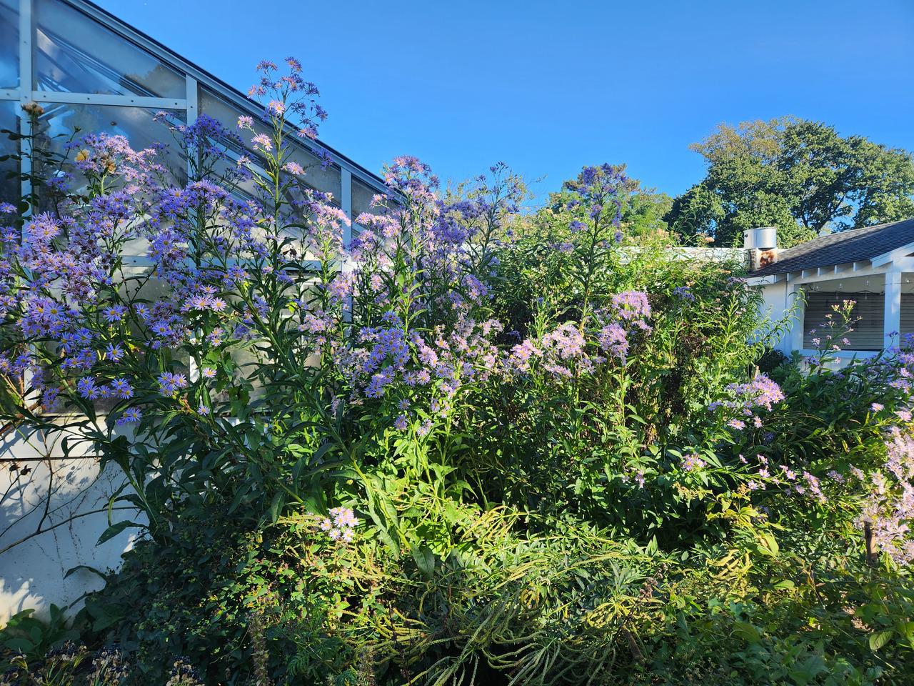
I reached the gardens, and started to look around. There was a museum but I didn’t go in because I was still consuming what I’d bought from the service station. The gardens were pretty and peaceful, if not spectacular. There were squirrels everywhere, and it was fun to watch them galloping around with their long bushy tails behind them, sometimes as long as their body.
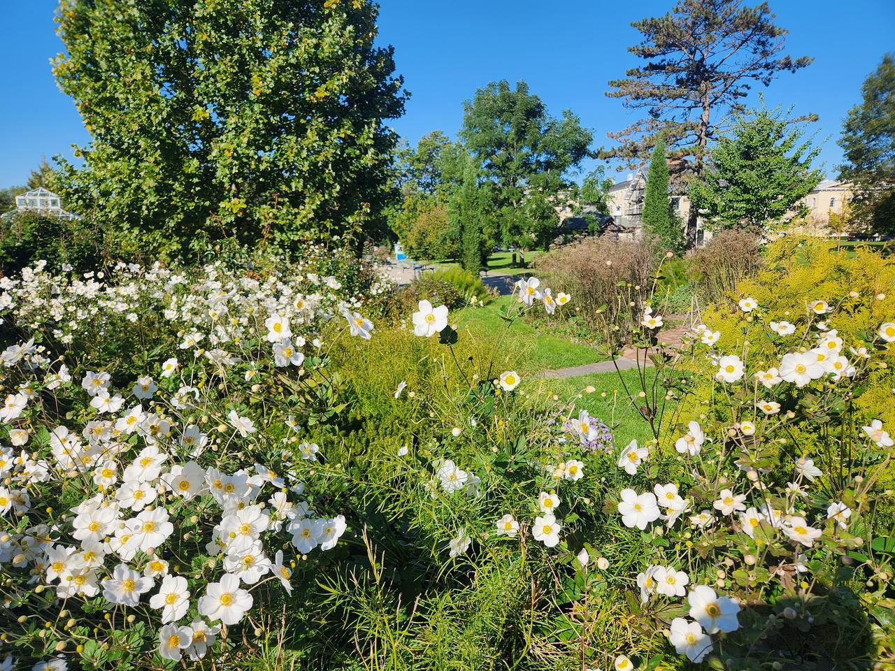
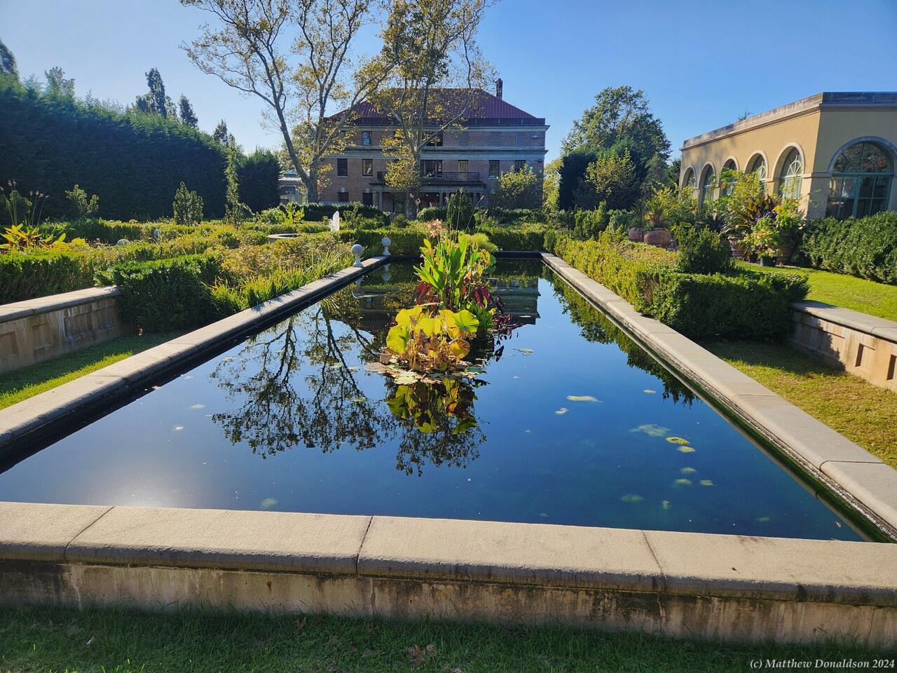
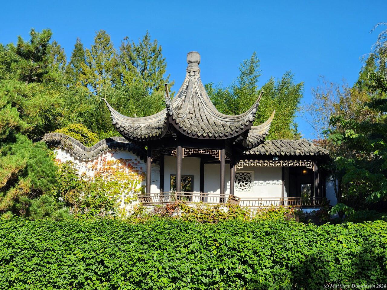
Some of the attractions were closed, like the Chinese Garden, but there were still flowers blooming in some places, and it was a beautiful warm sunny afternoon to relax there and walk through everything. There was an area with a rectangular pond and fountain, and quite a few buildings around, which perhaps were for functions or exhibits that were open at some point.
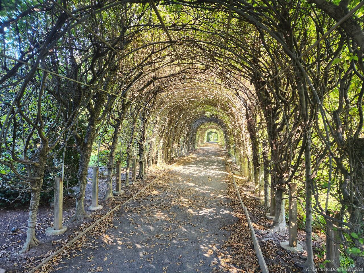
I walked along through less structured areas, with a track by a rather overgrown lake, through a tunnel of trees. Coming back toward the entrance, there were a number of quaint looking, rather ornate small brick cottages. I think maybe people lived in some of them, or had small businesses there.
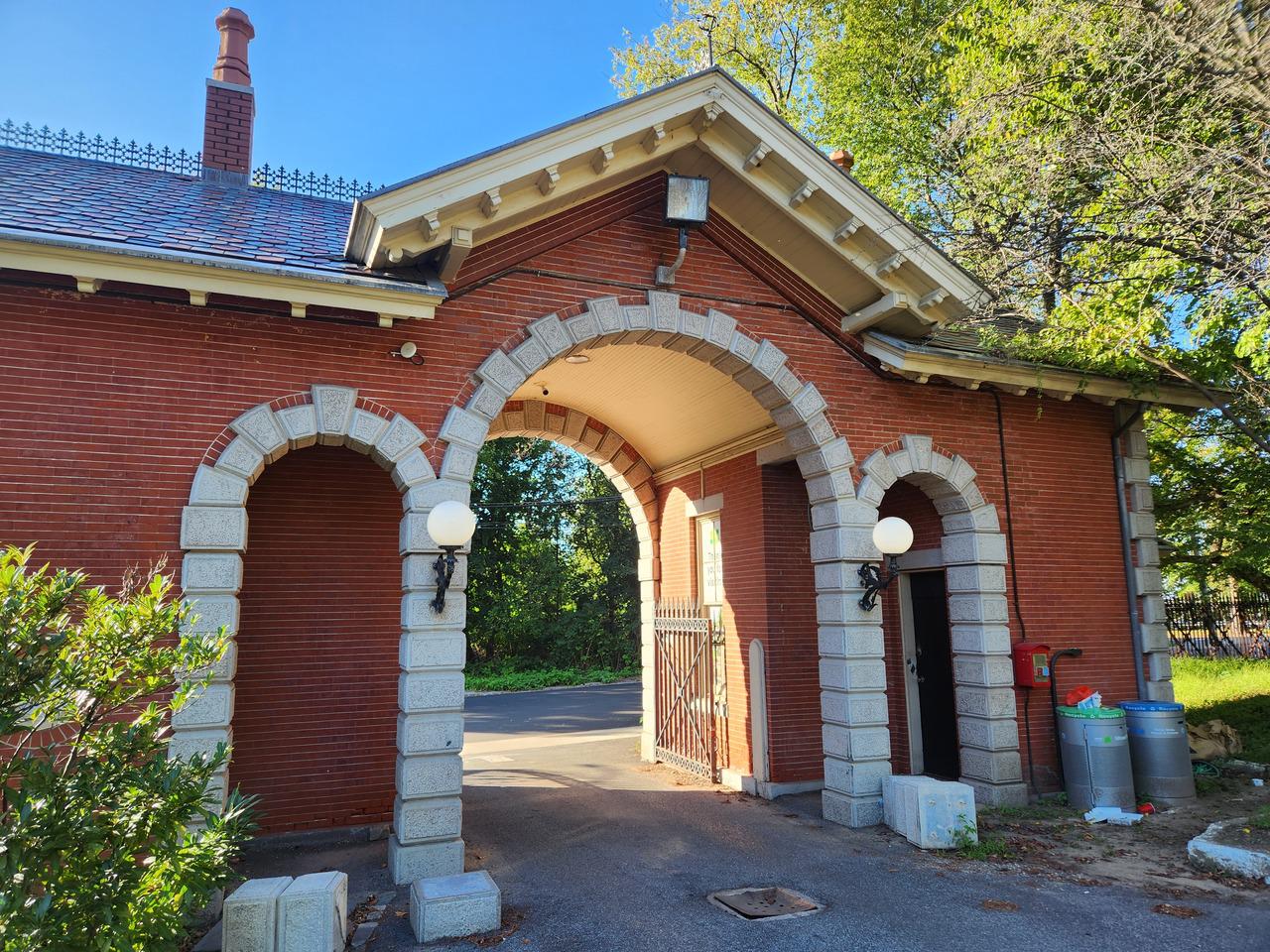
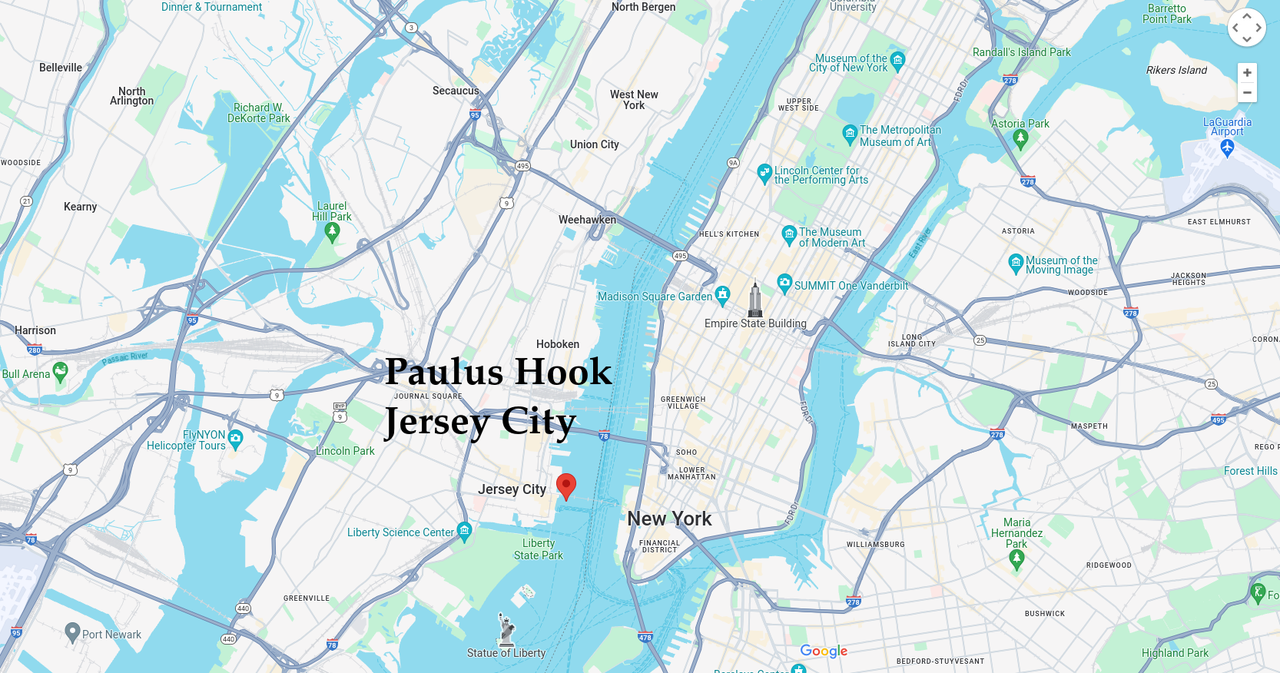
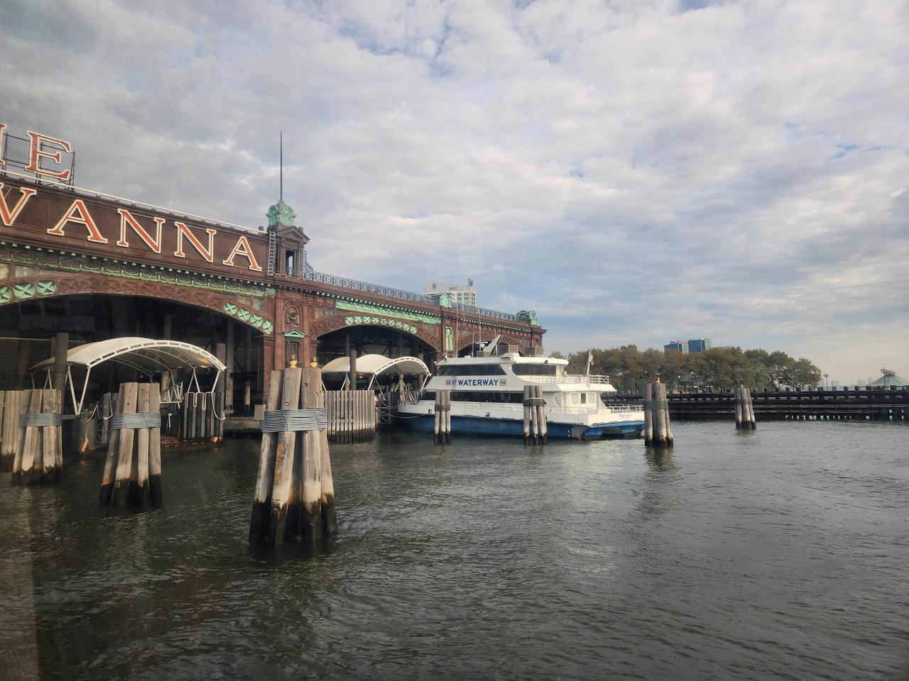
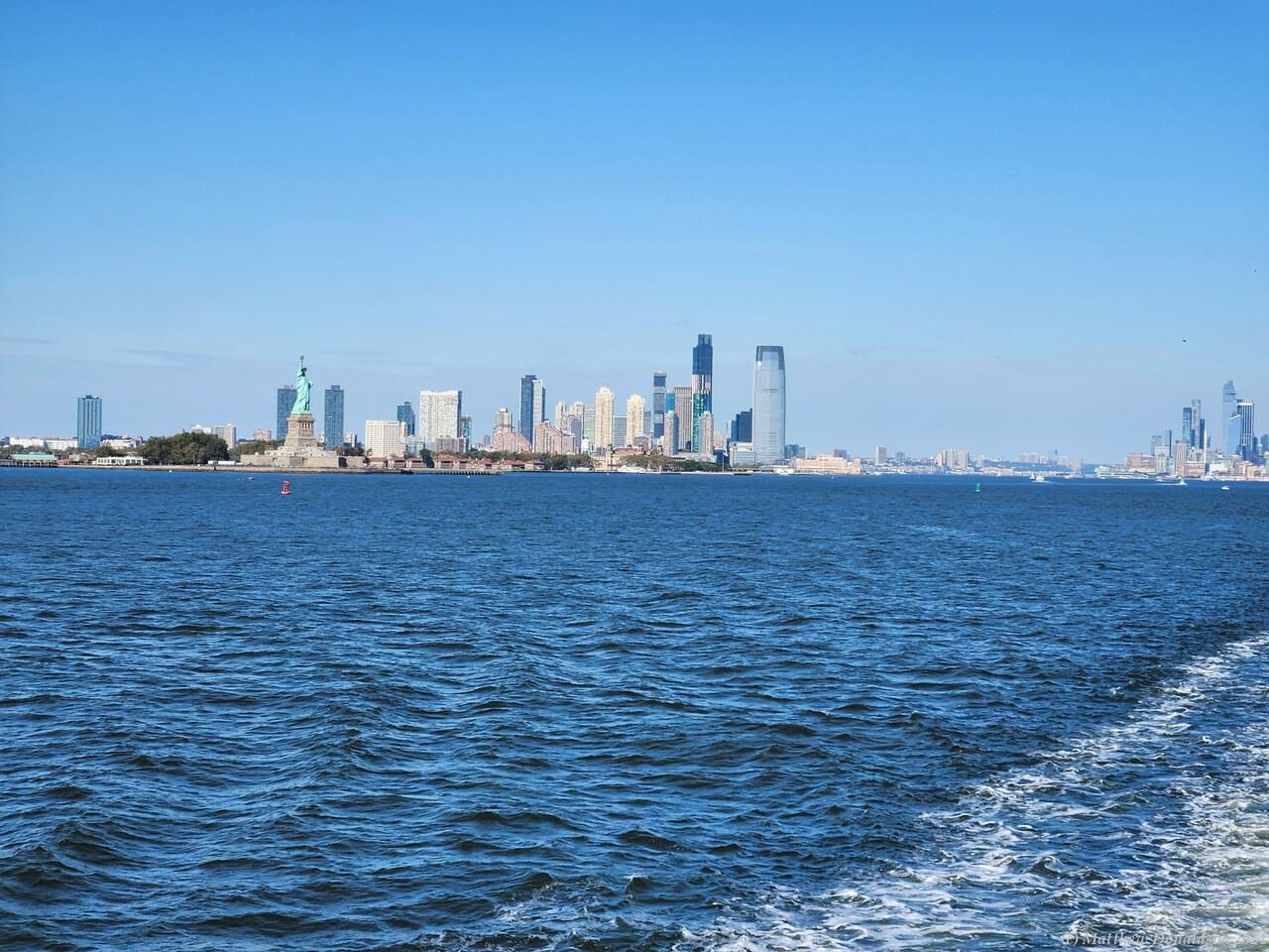
The road exited through an arch in a pretty little building that looked like a guard house, and I hiked the 40 odd minutes back. I found that there was a ferry (not free!) leaving from a similar place to the Staten Island one I’d come on, which went to a spot on the river on the New York side pretty much opposite Paulus Hook, then a ferry from there took me across the river.
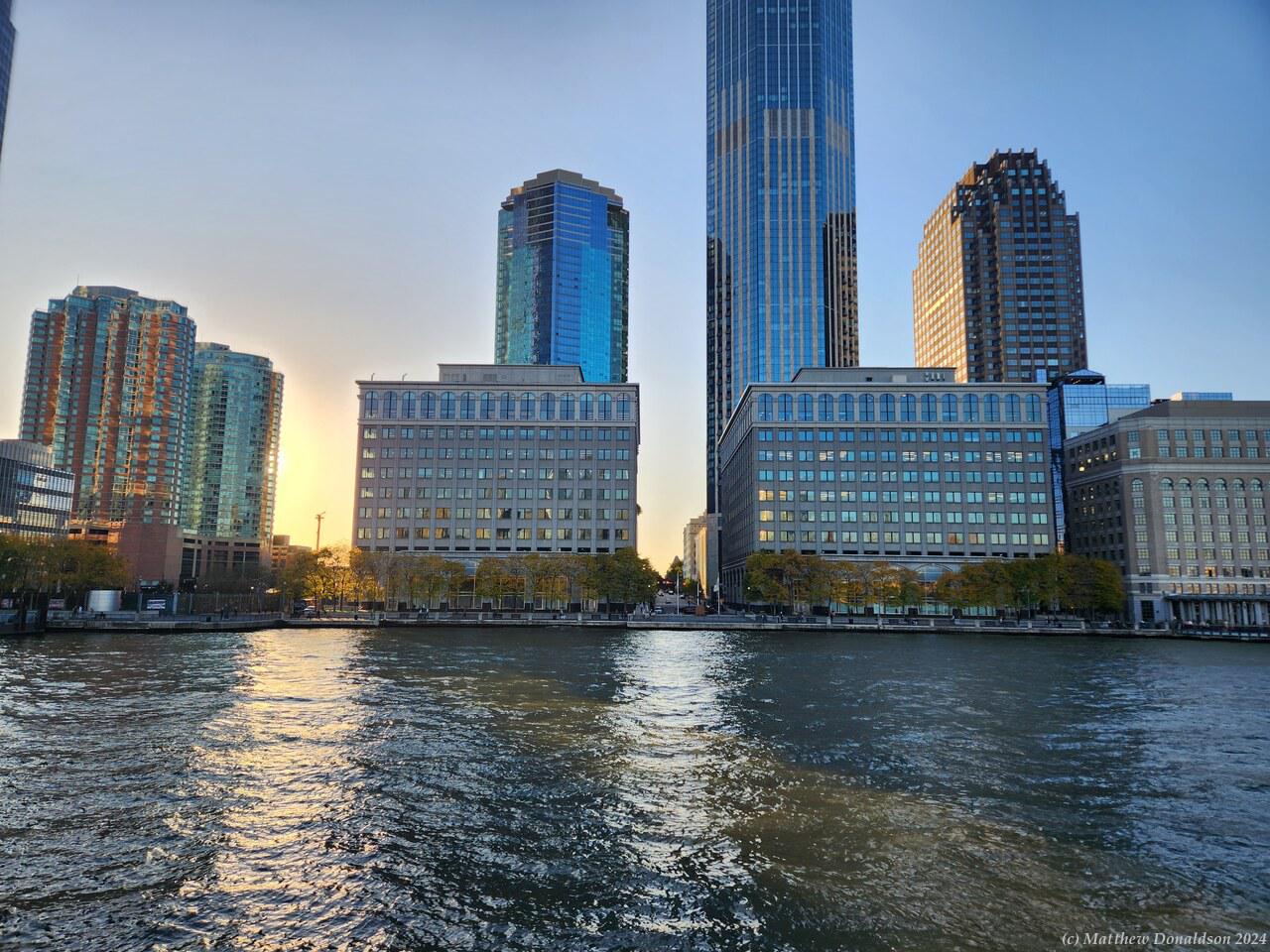
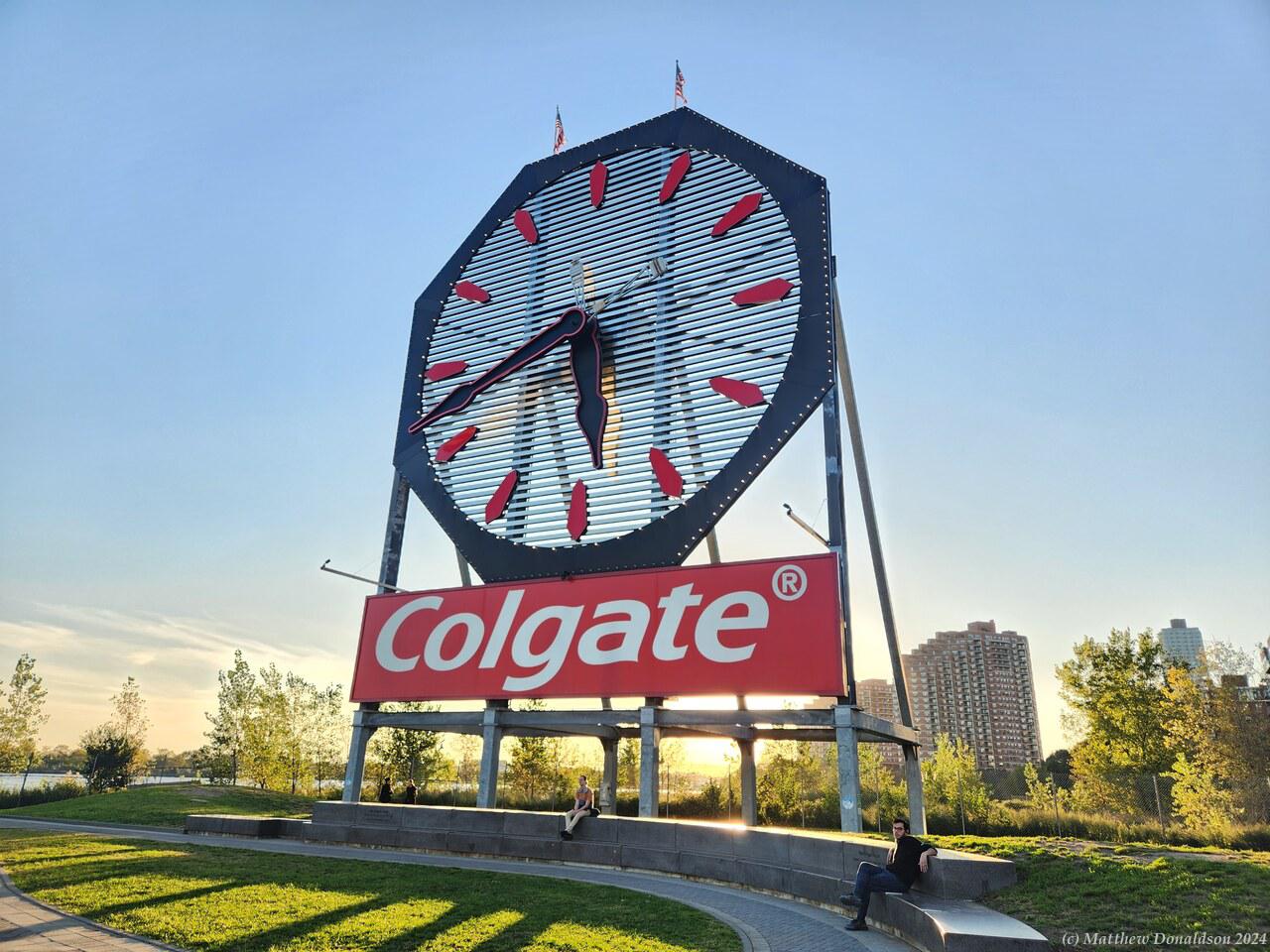
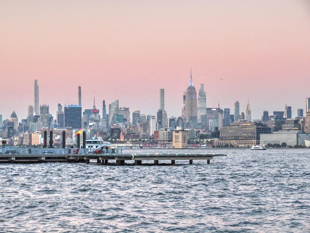
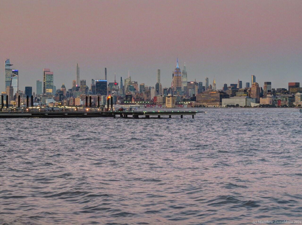
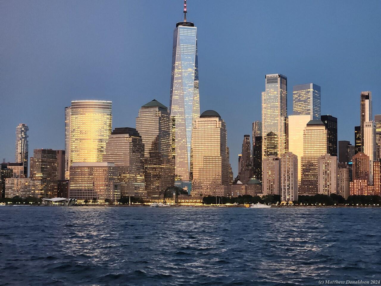
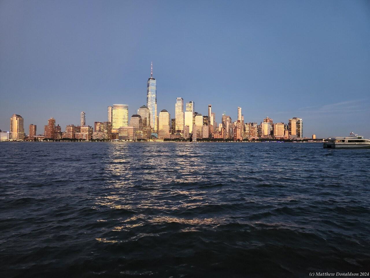
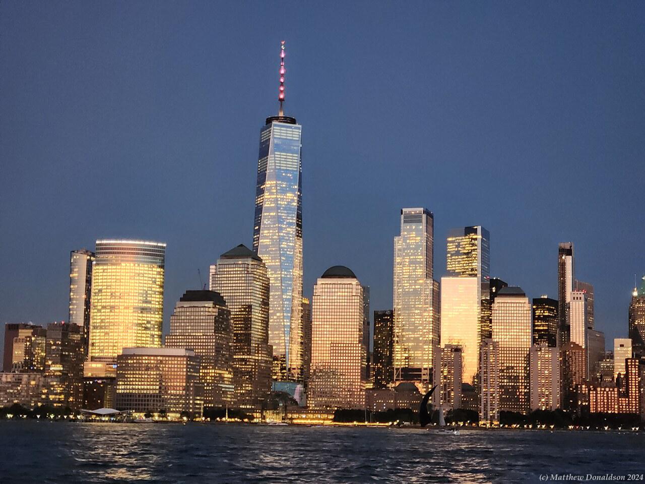
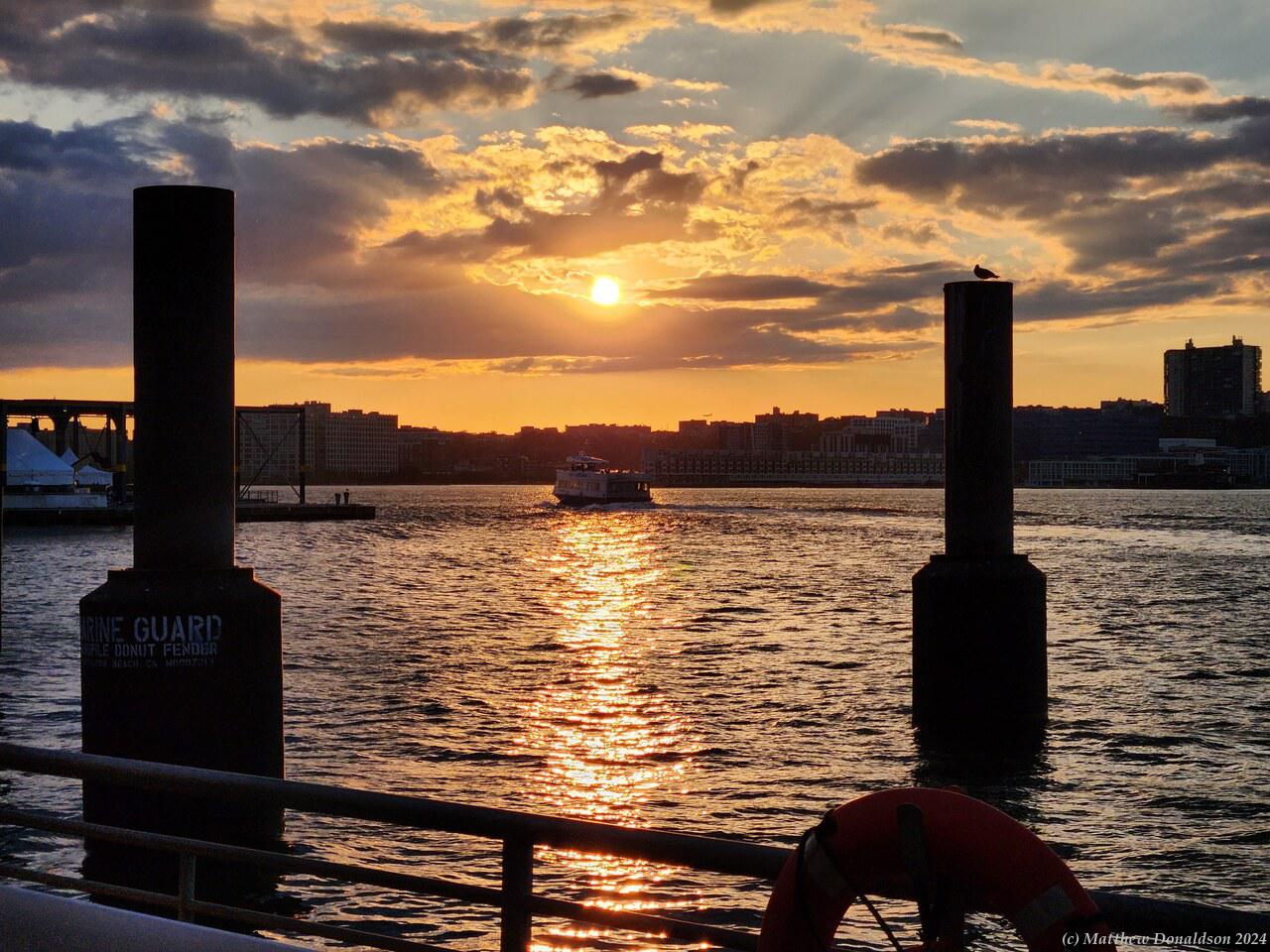
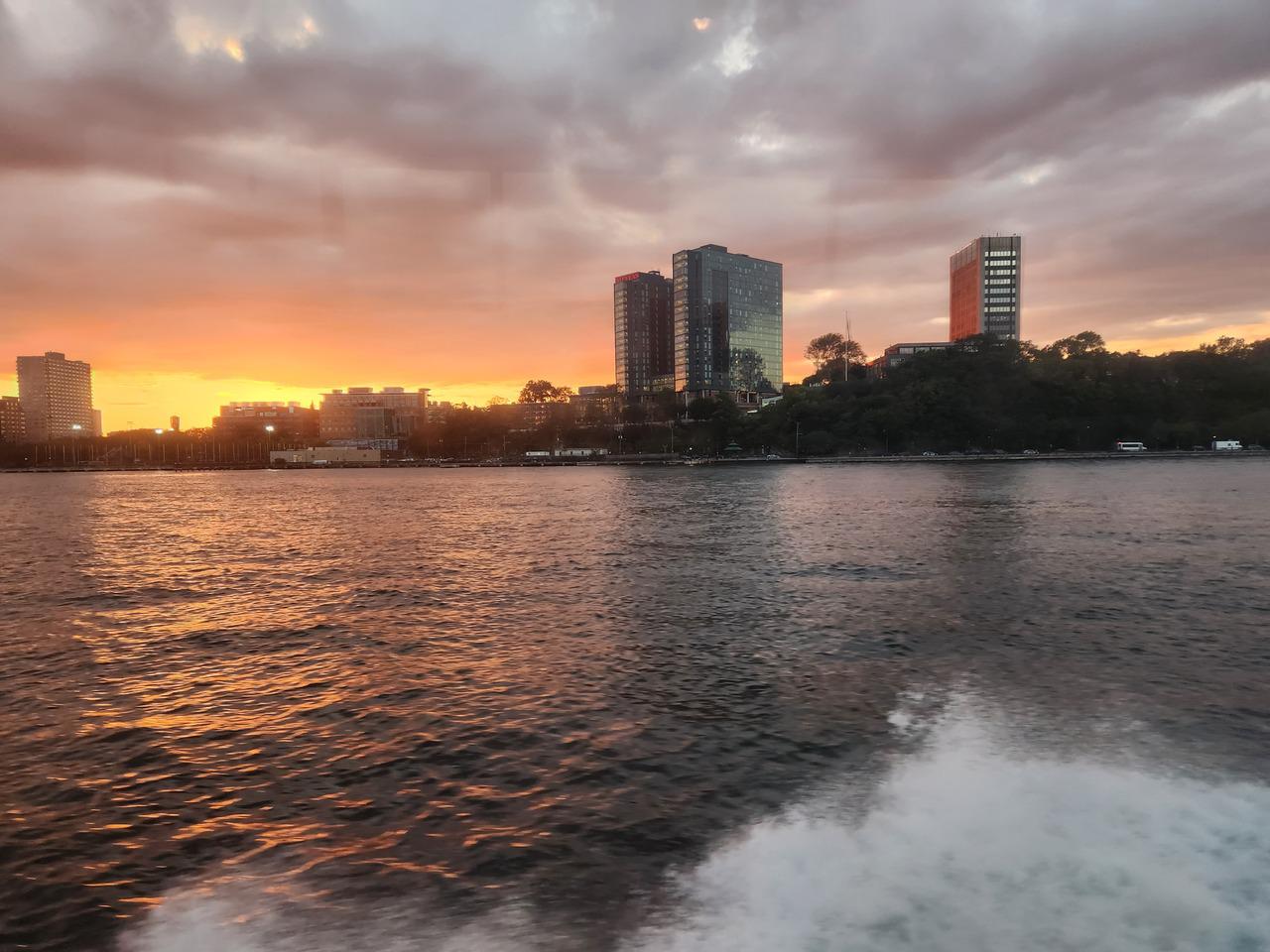
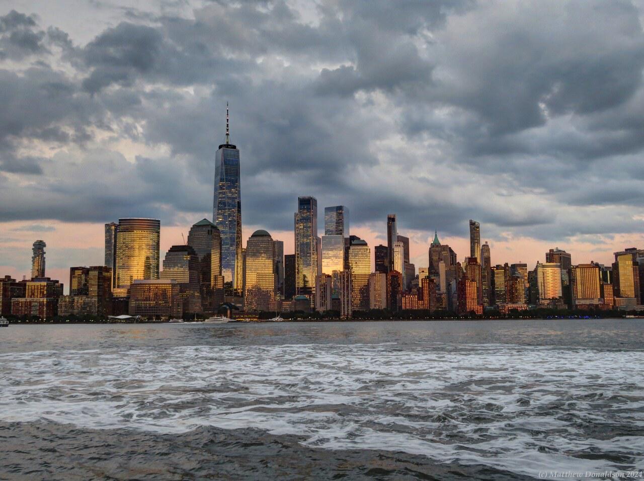
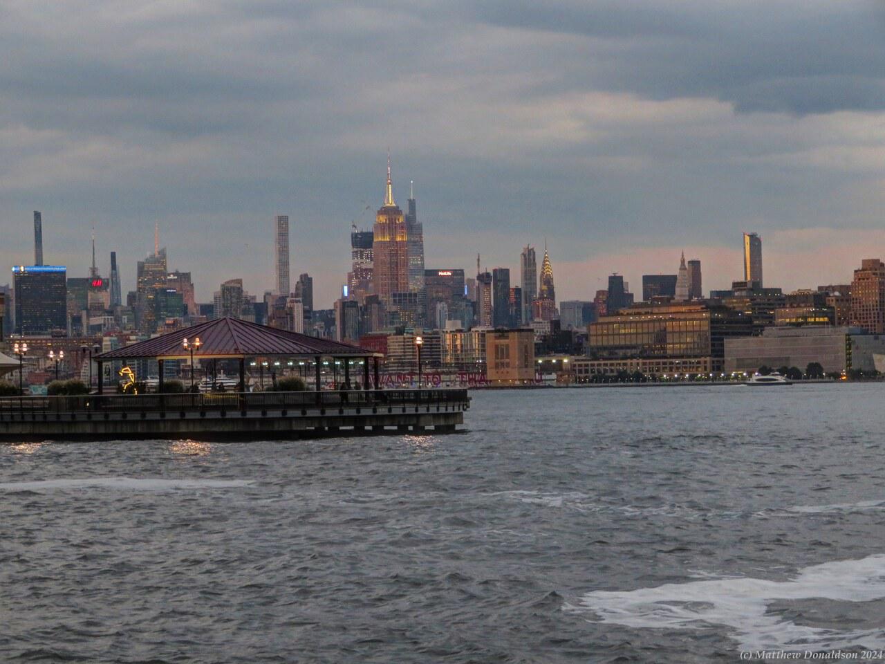
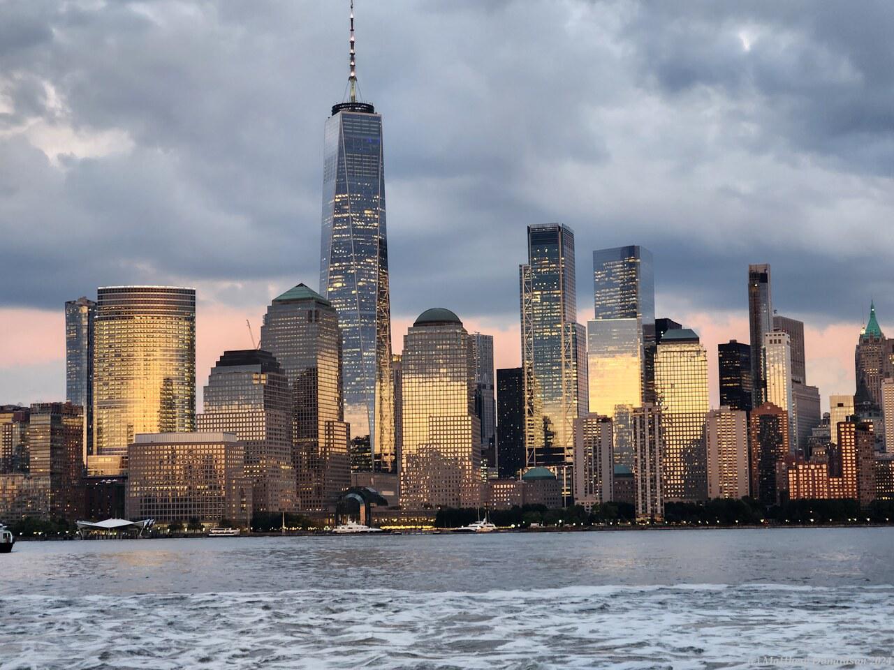
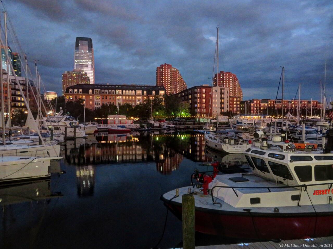
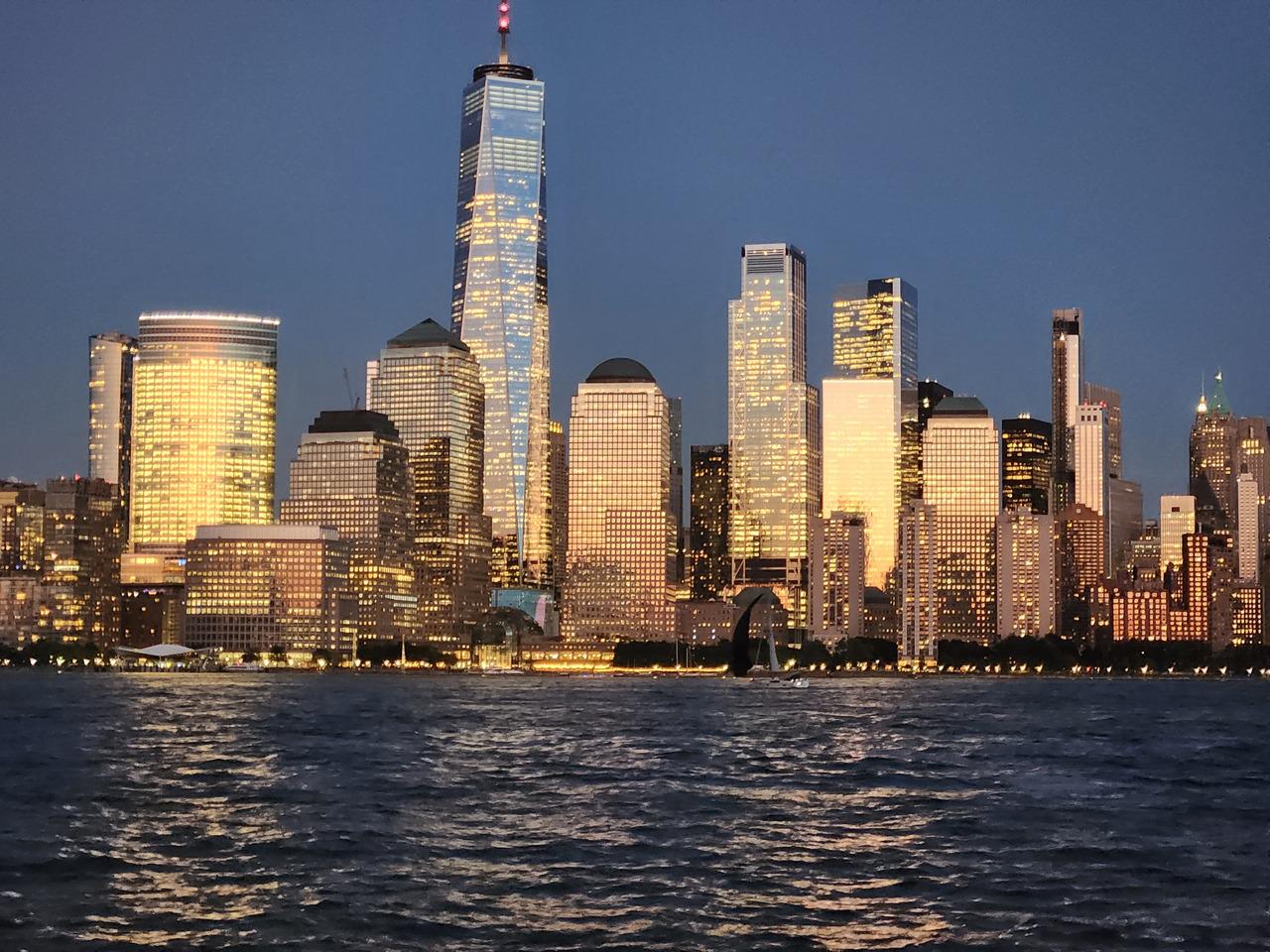
I hadn’t wanted to linger while it got too dark the previous day because of my phone being dead, and not wanting to get lost, but this evening I stayed for quite a while, watching the New York skyline across the water and the light slowly fading, while the buildings lit up. I sat for a while by steps near the Colgate Clock, as a couple of girls practiced kicking a soccer ball around, until one of them fielded a phone call for quite a while, leaving the other one at a bit of a loose end.
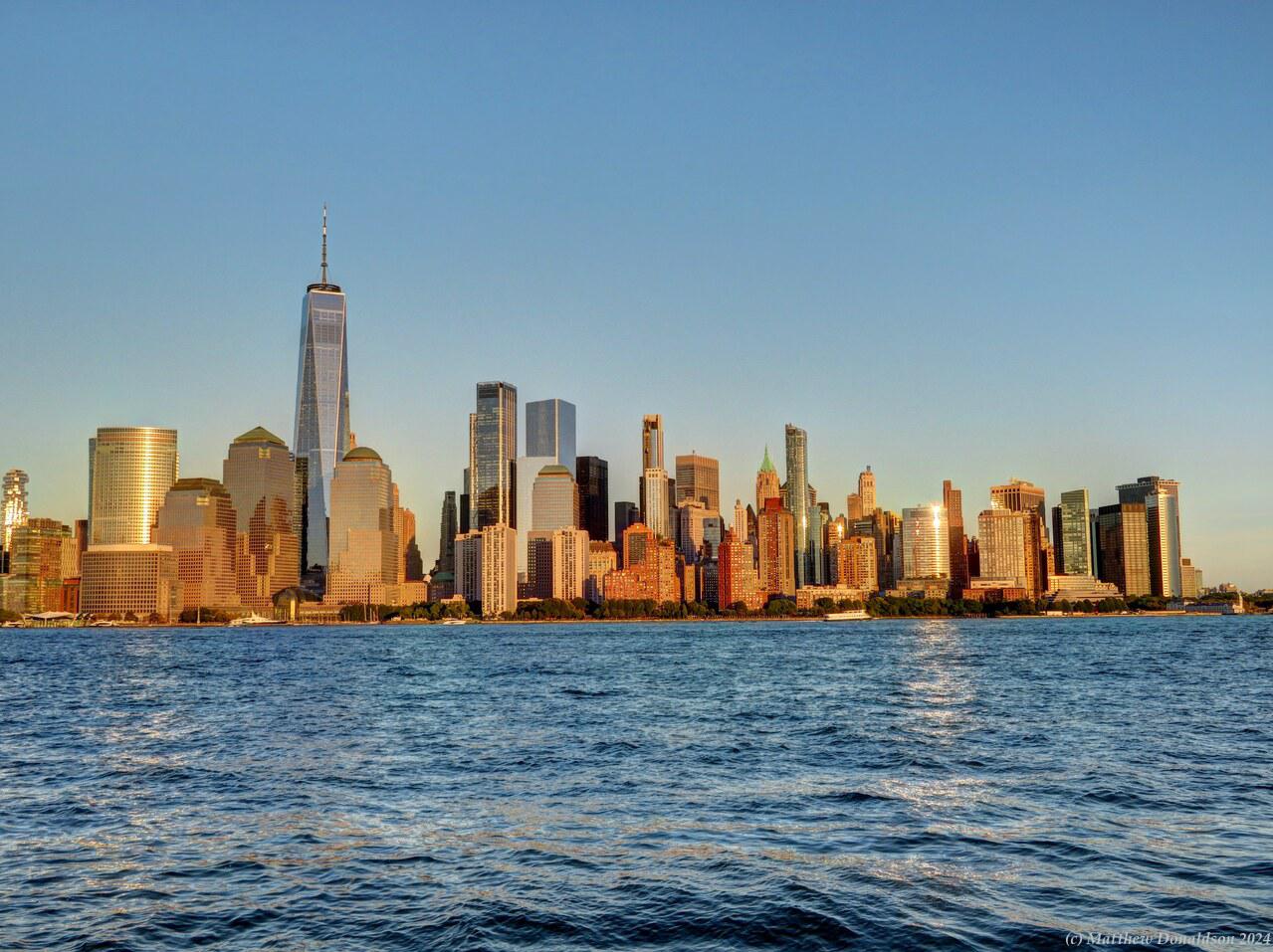
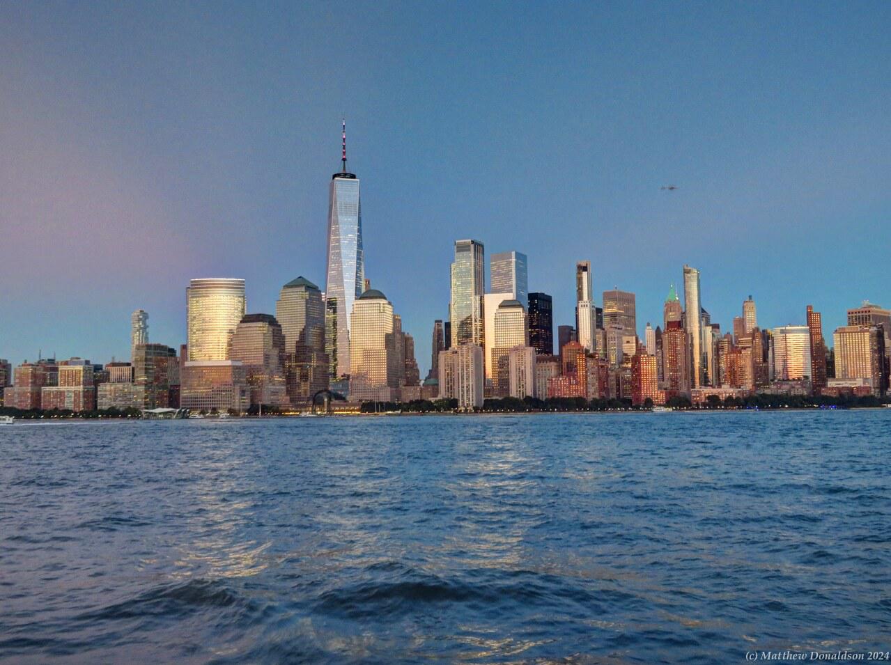
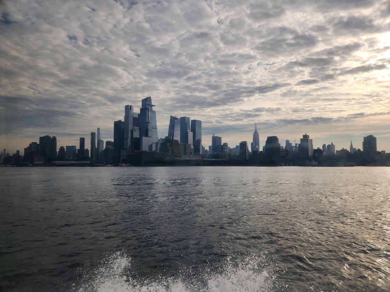
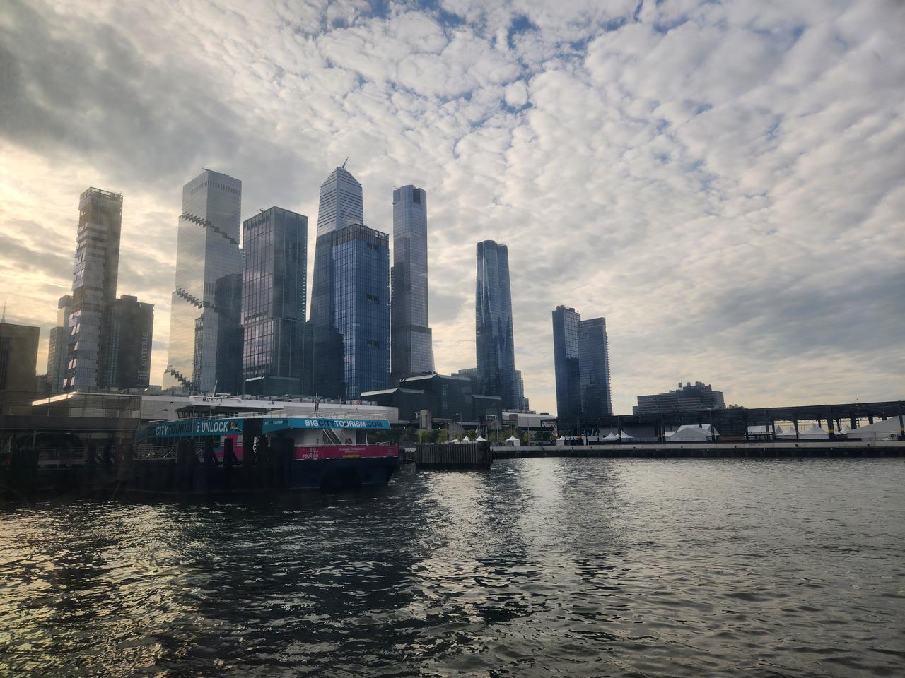
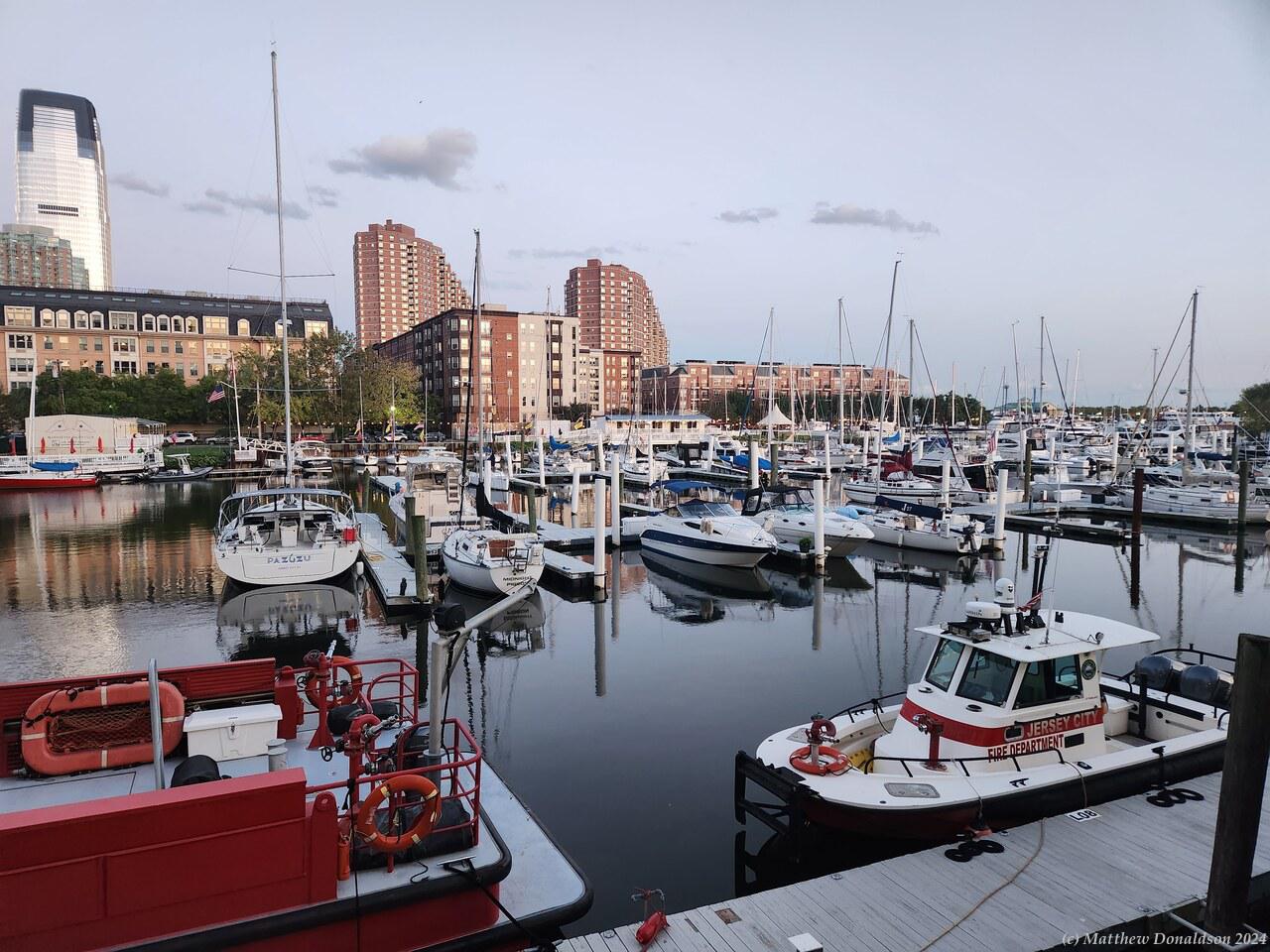
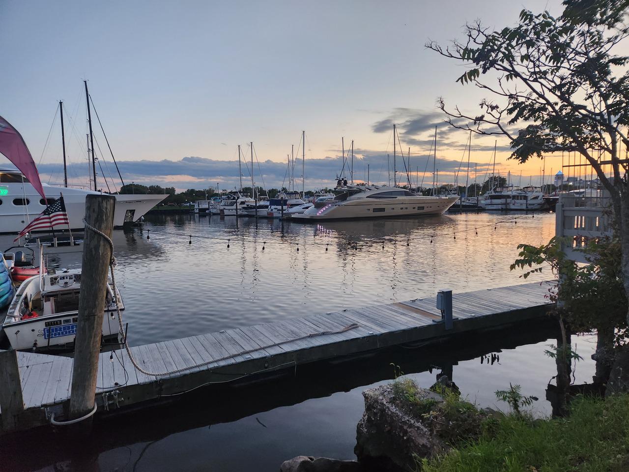
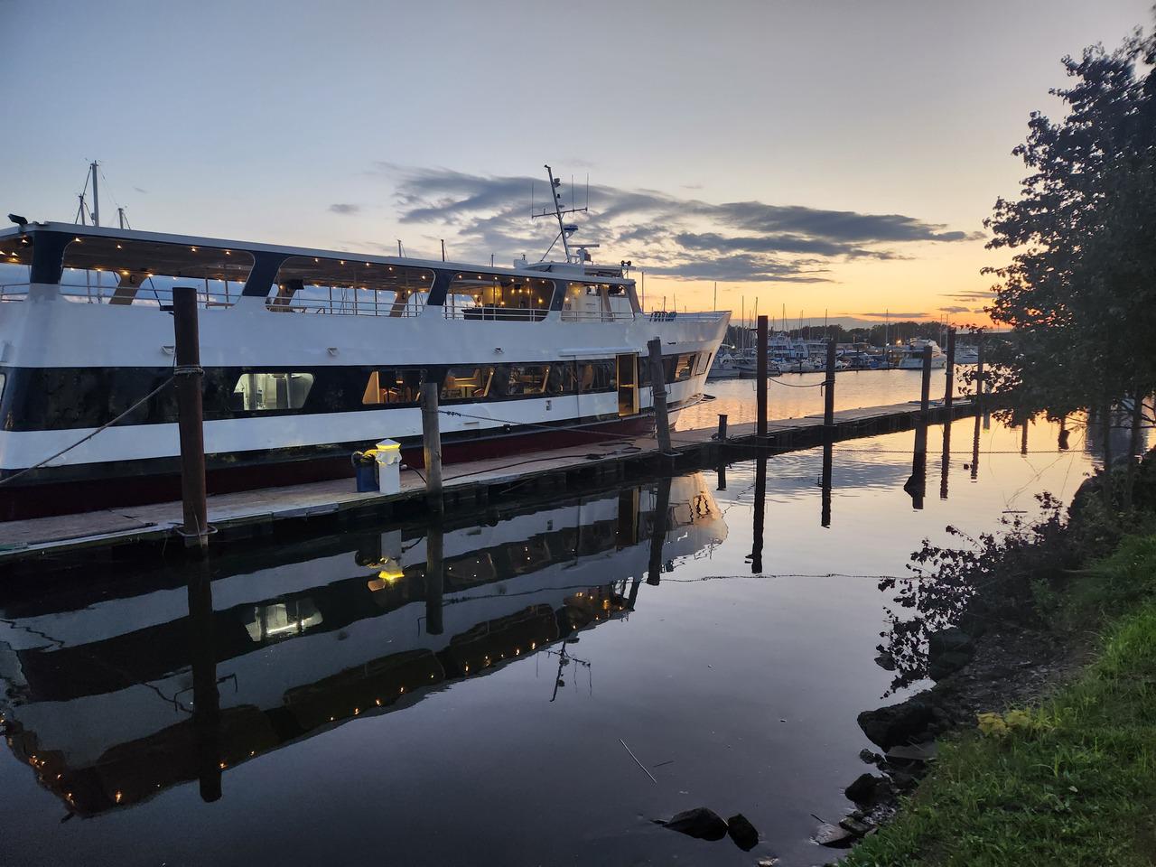
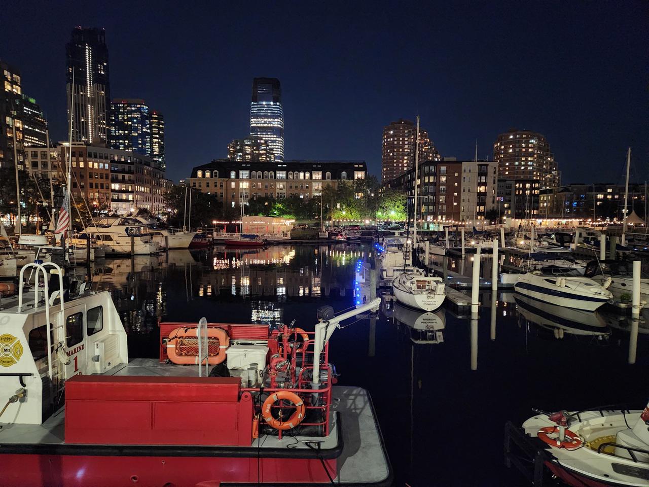
It was a peaceful spot, and a nice end to my explorations of New York City, a place I was glad I saw, and I enjoyed the visit, but wasn’t left with a great deal of desire to see it again. I was around an hour by the water there, before I started back. I was very glad to have my phone working this time, because (being the poor navigator that I am), I managed to get onto a different street, and had to use Google Maps to work out where I was meant to be. I walked past the marina, pretty with the lights reflecting in the water, and got to the RV park a bit after seven, and it was fairly dark by then.
I wasn’t sure how much the fridge would have used up the battery – I was pretty impressed by how long it went without the van running, but it had been over two days, so I drove around the RV park a little bit just to make sure the battery was still ok, and to charge it a little. I had gathered that the fridge cut out if the battery got too low, but I didn’t want to risk having a flat battery when I needed to leave. I had dinner, and finished up everything I could, in preparation for handing the van back the next day, and got things as packed and ready as possible so that I could make a quick getaway.